The base map is a zoning map produced by the Regional District of Comox-
Strathcona for the Cortes Island Land Use Project (Aug 1969). Edwards used
coloured pencil to show land and foreshore zones, and transferred information
about early preemptions and old roads and trails from an earlier map (see
Donald Palmer fonds, 2020.002.011, map of Cortes Island, Sayward District, ca.
1915).
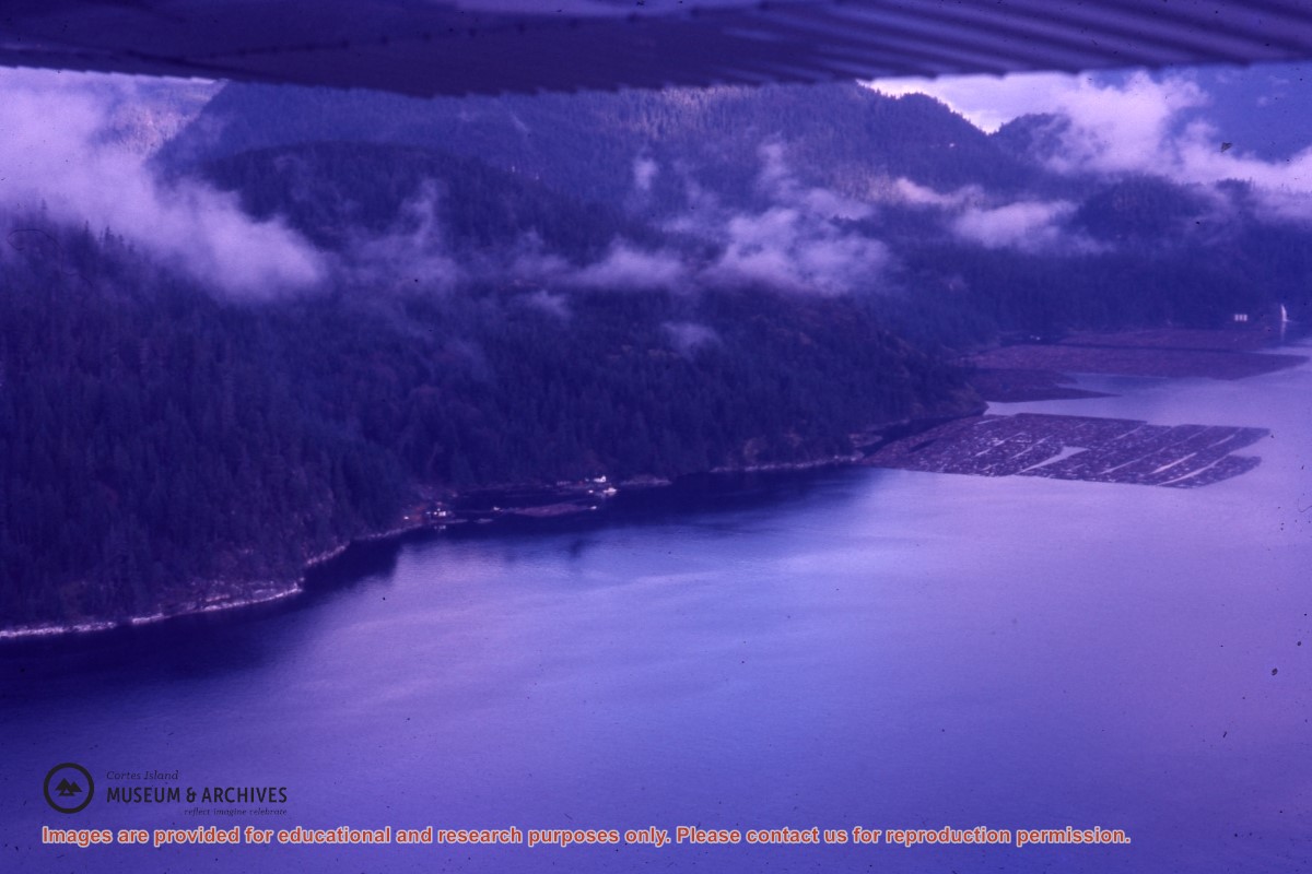
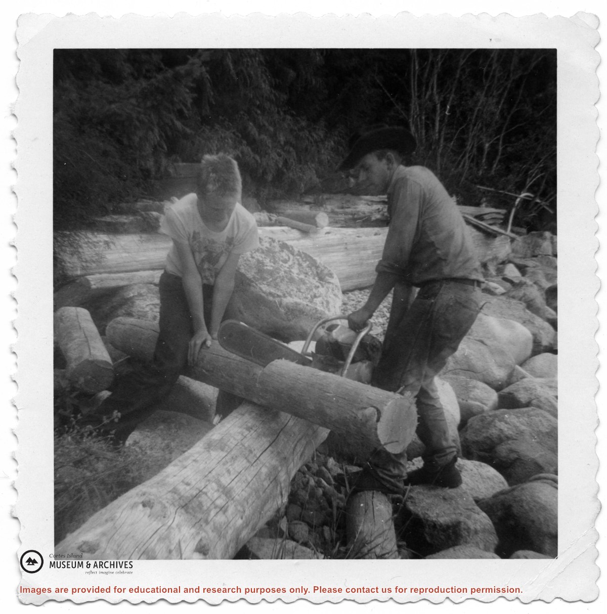
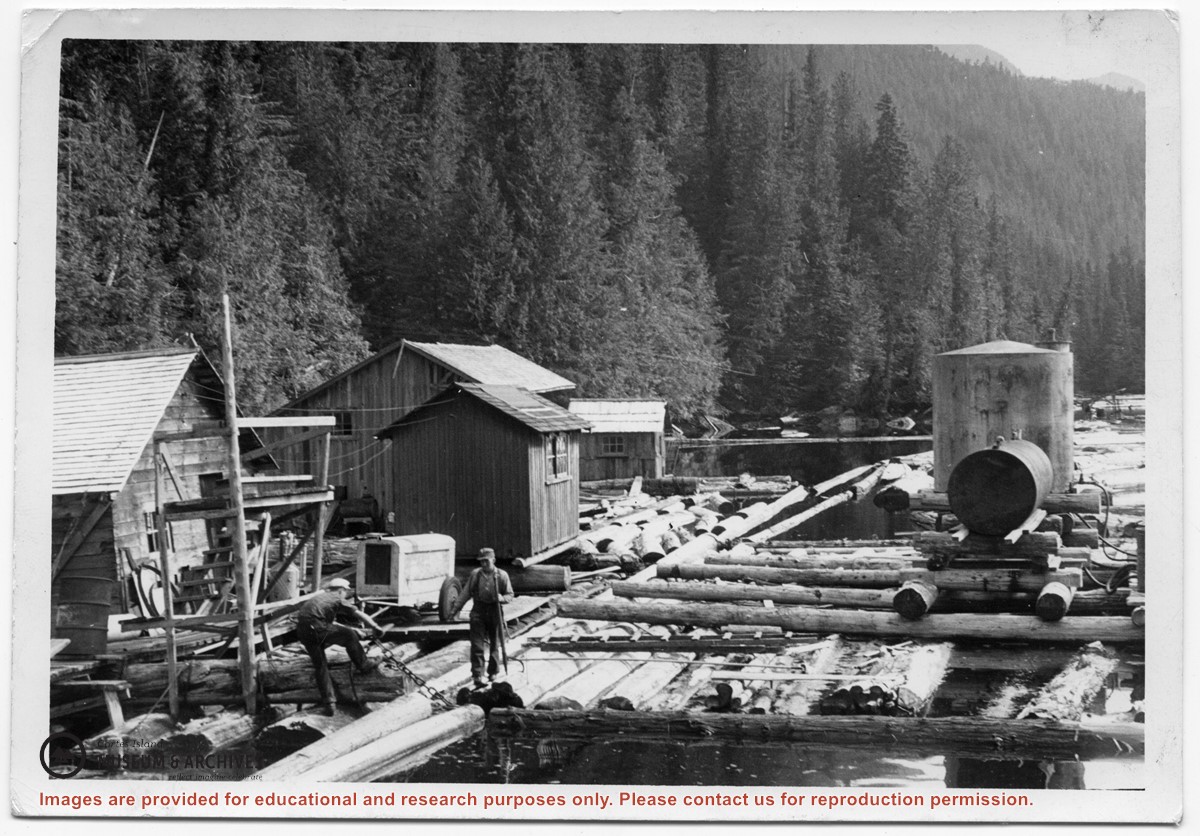
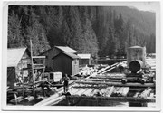
Photograph of two men on floats made of logs chained together, with the buildings, tanks and other paraphernalia of a logging camp on the floats. Location is Seymour Inlet.
Photograph of two men on floats made of logs chained together, with the buildings, tanks and other paraphernalia of a logging camp on the floats. Location is Seymour Inlet.