Coloured map of southwestern BC showing municipalities, geographical features, land and sea routes, natural resources, etc. The back of the map is fully printed with information about BC and suggested travel itineraries.
Map needs preservation: edges are frayed and there are several tears.
Coloured map of southwestern BC showing municipalities, geographical features, land and sea routes, natural resources, etc. The back of the map is fully printed with information about BC and suggested travel itineraries.
Map needs preservation: edges are frayed and there are several tears.
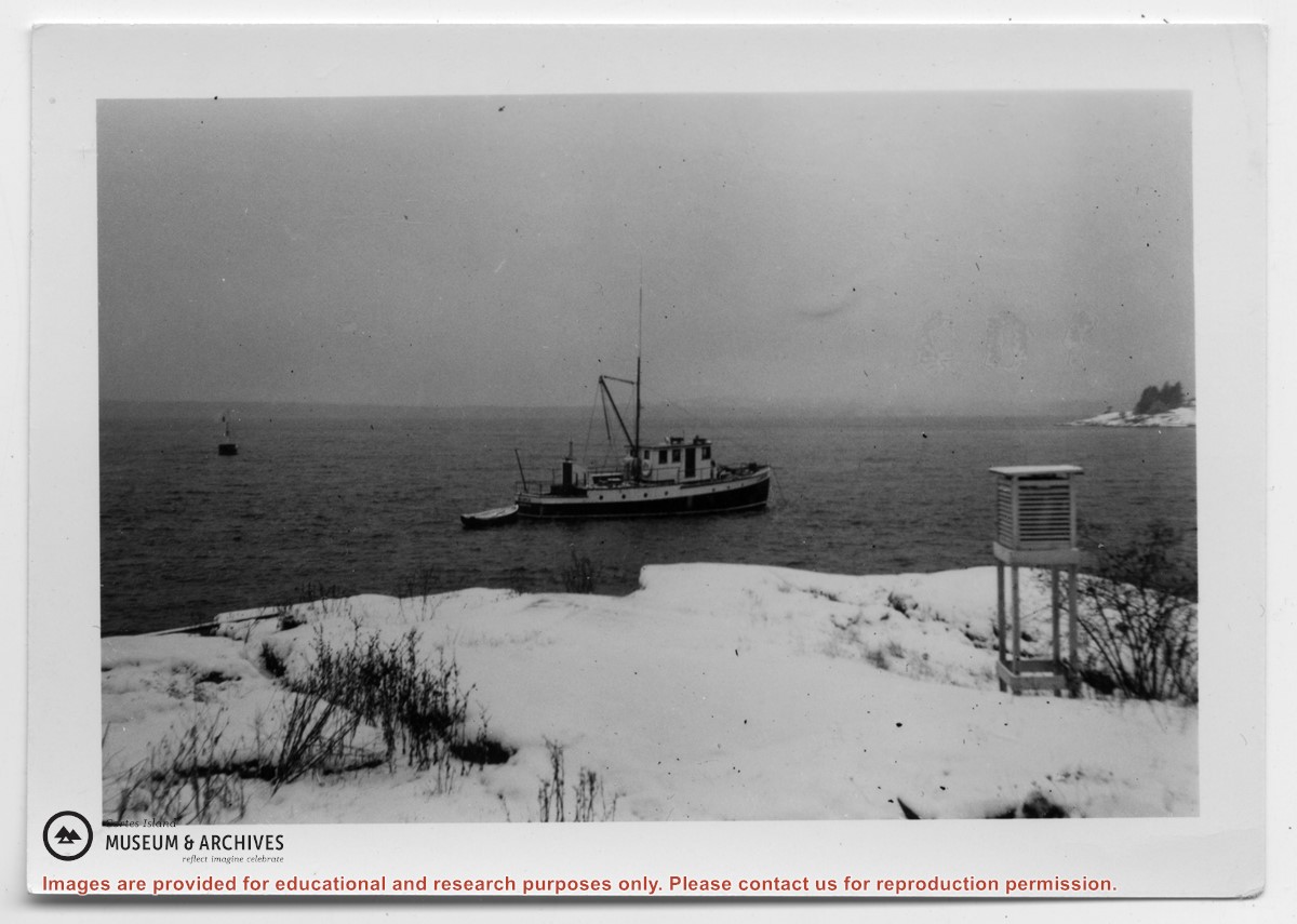
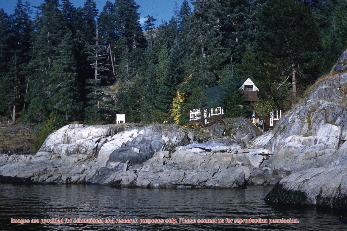
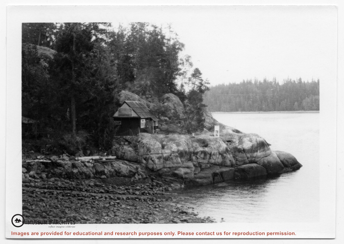
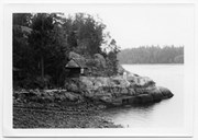
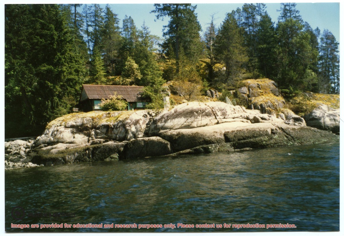
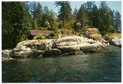
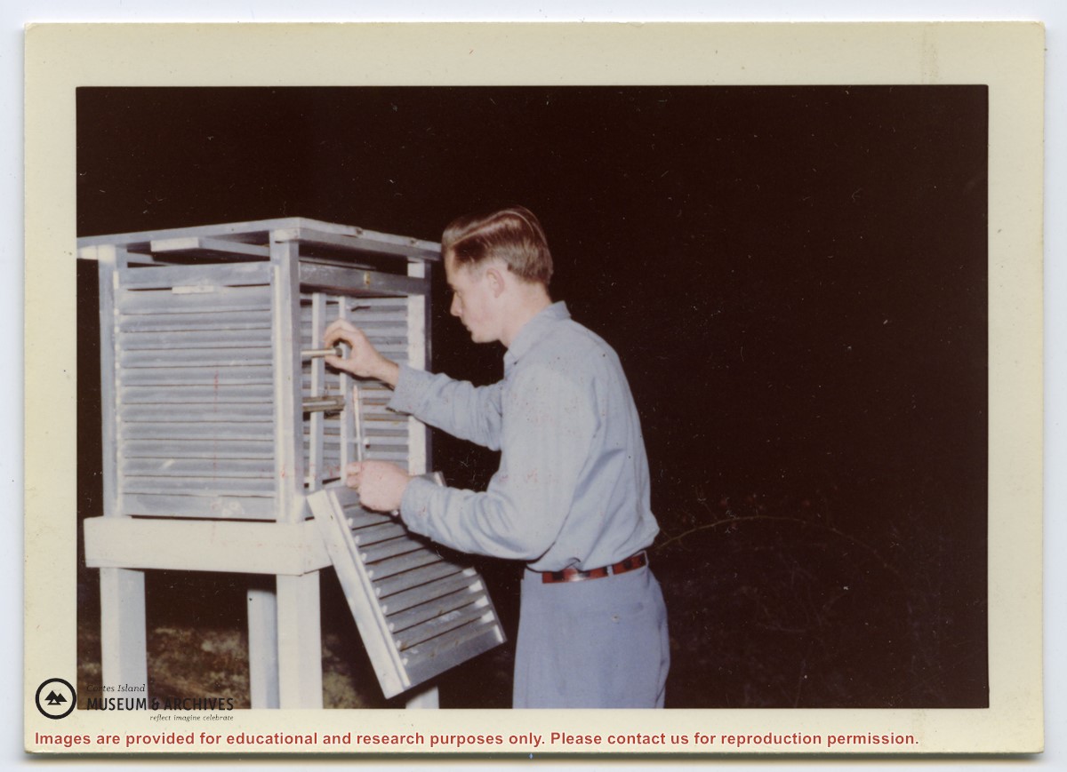
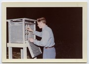
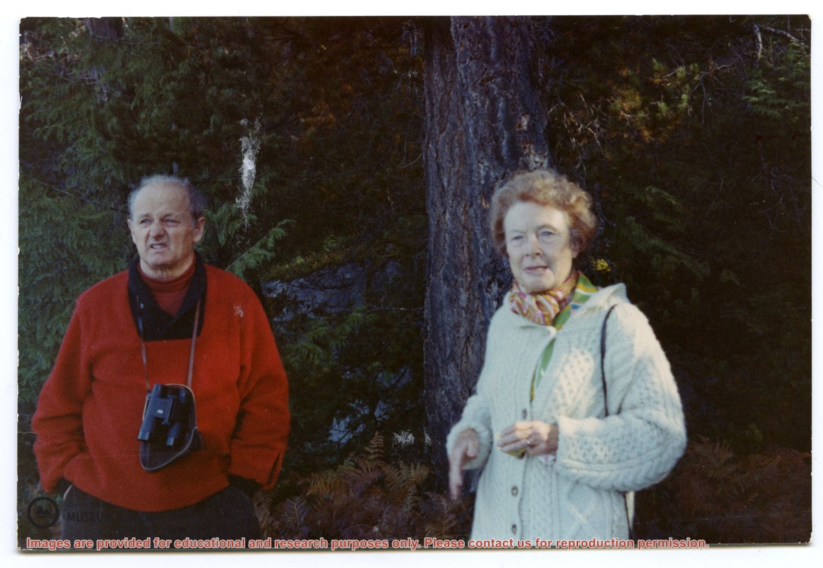
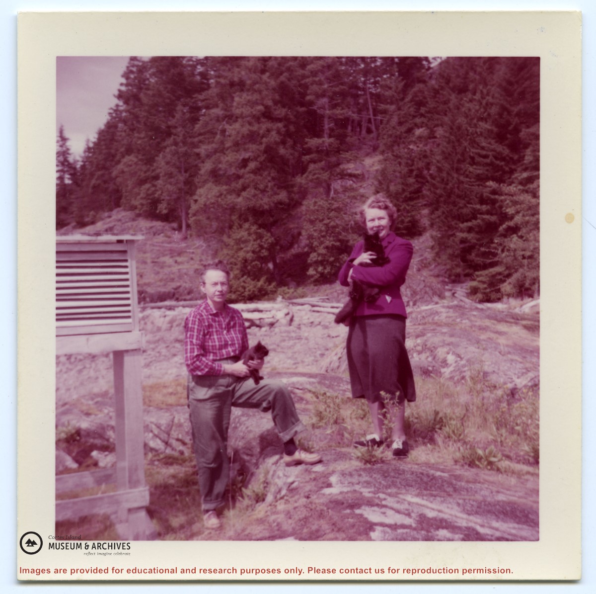
Photograph, taken from the water, of the cabin at Channel Rock, perched on its large rock with forest and bluffs behind it. Note the steps built into the rock leading down to the water just below the weather station.
Photograph, taken from the water, of the cabin at Channel Rock, perched on its large rock with forest and bluffs behind it. Note the steps built into the rock leading down to the water just below the weather station.
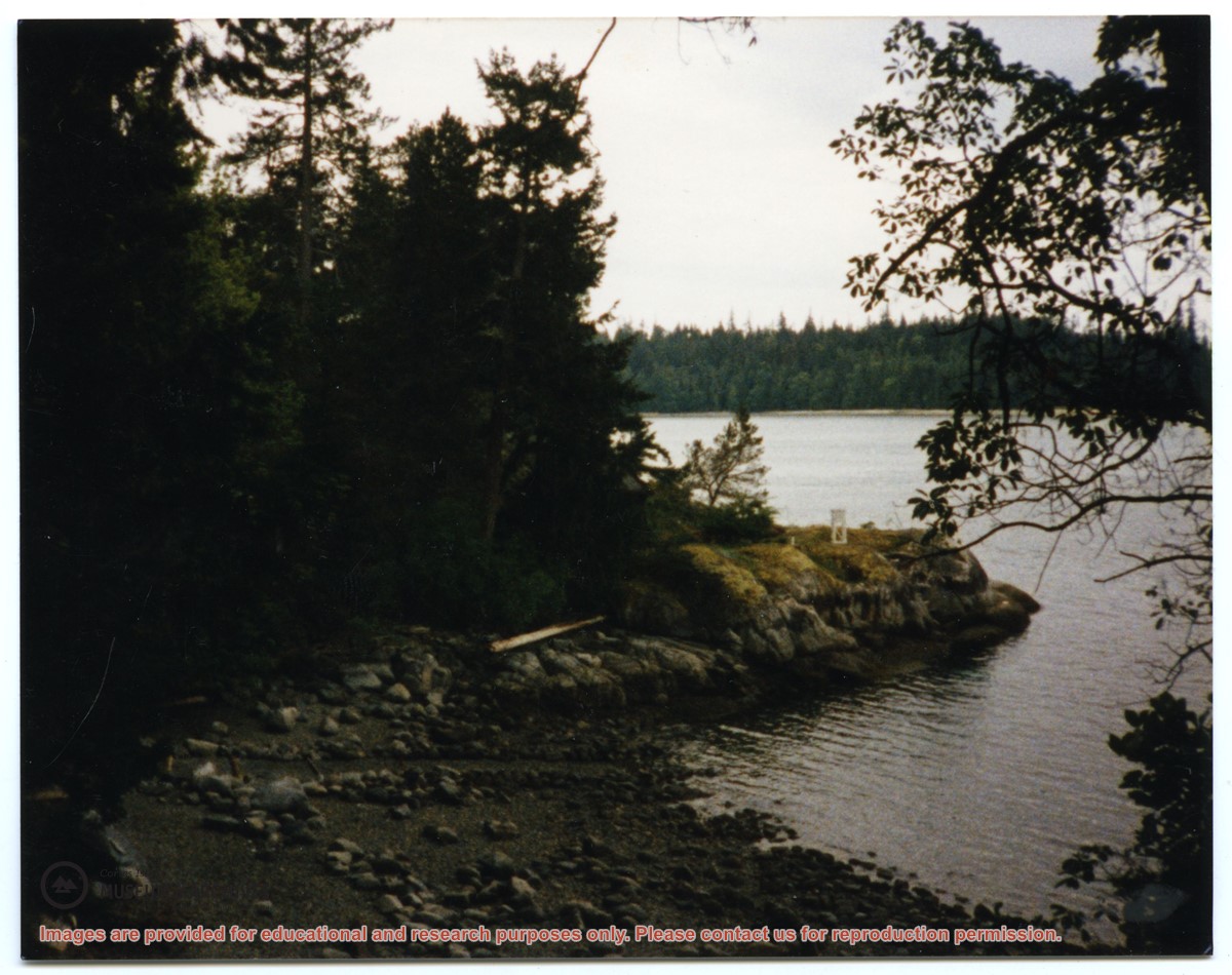
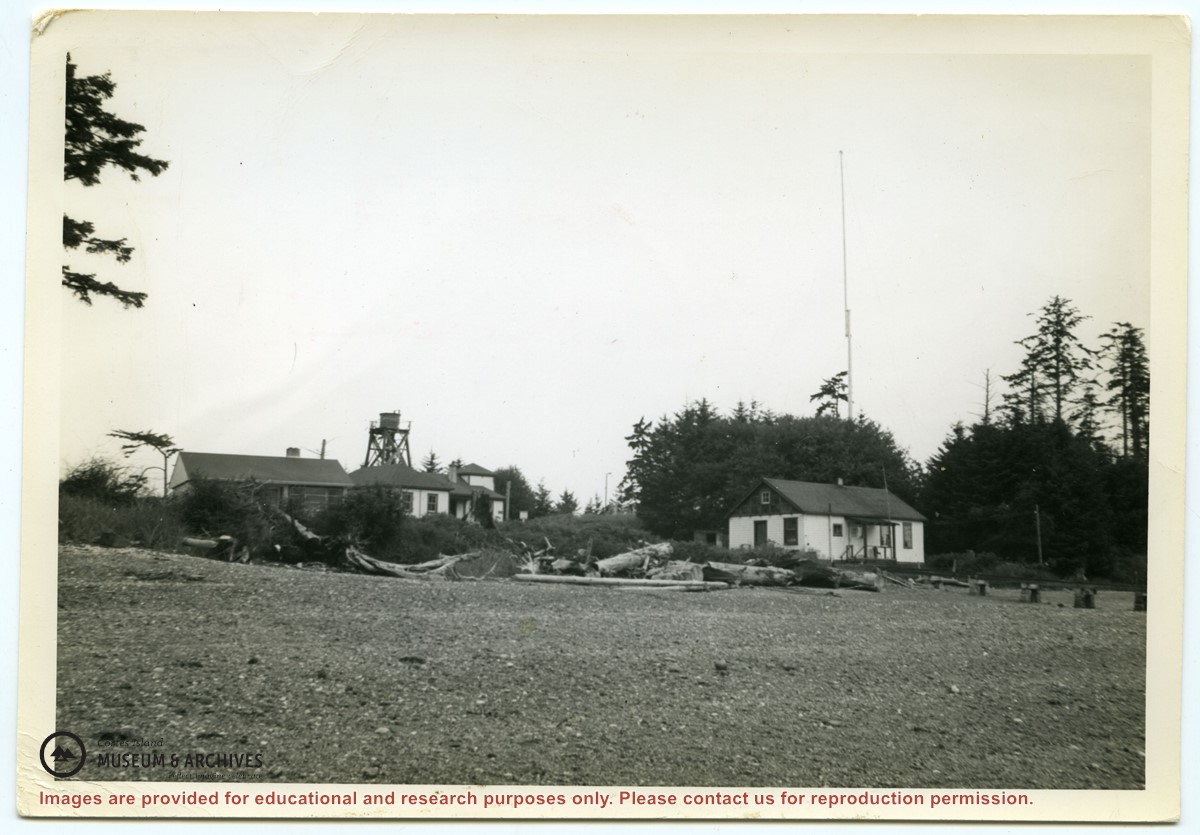
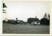
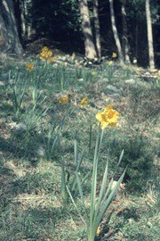
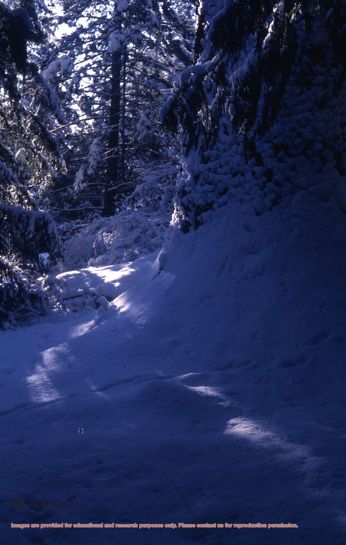
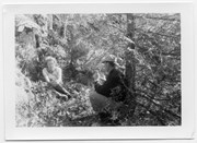
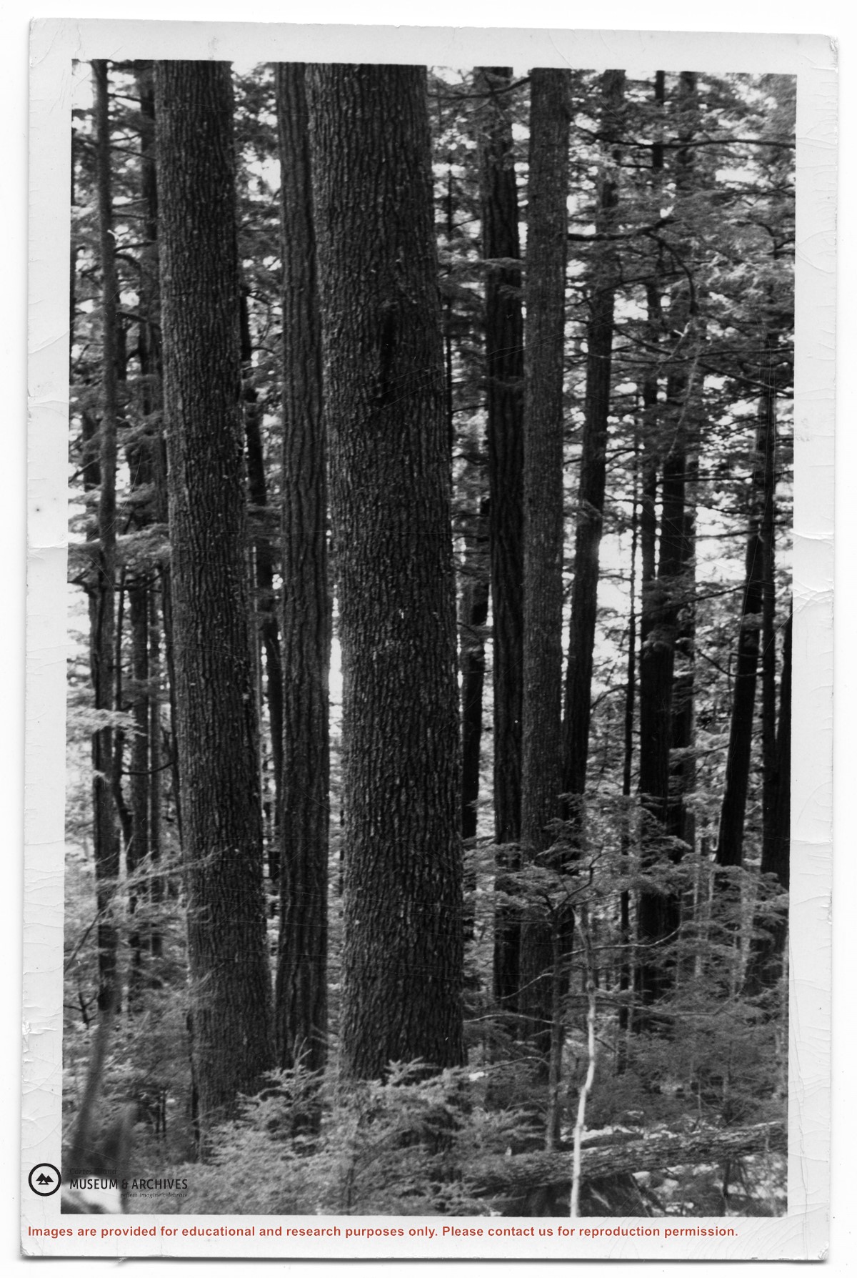
Photograph of forest with large fir trees. Photo was likely taken in Knight Inlet, as another print of the same photo was in an envelope with other photographs taken there.
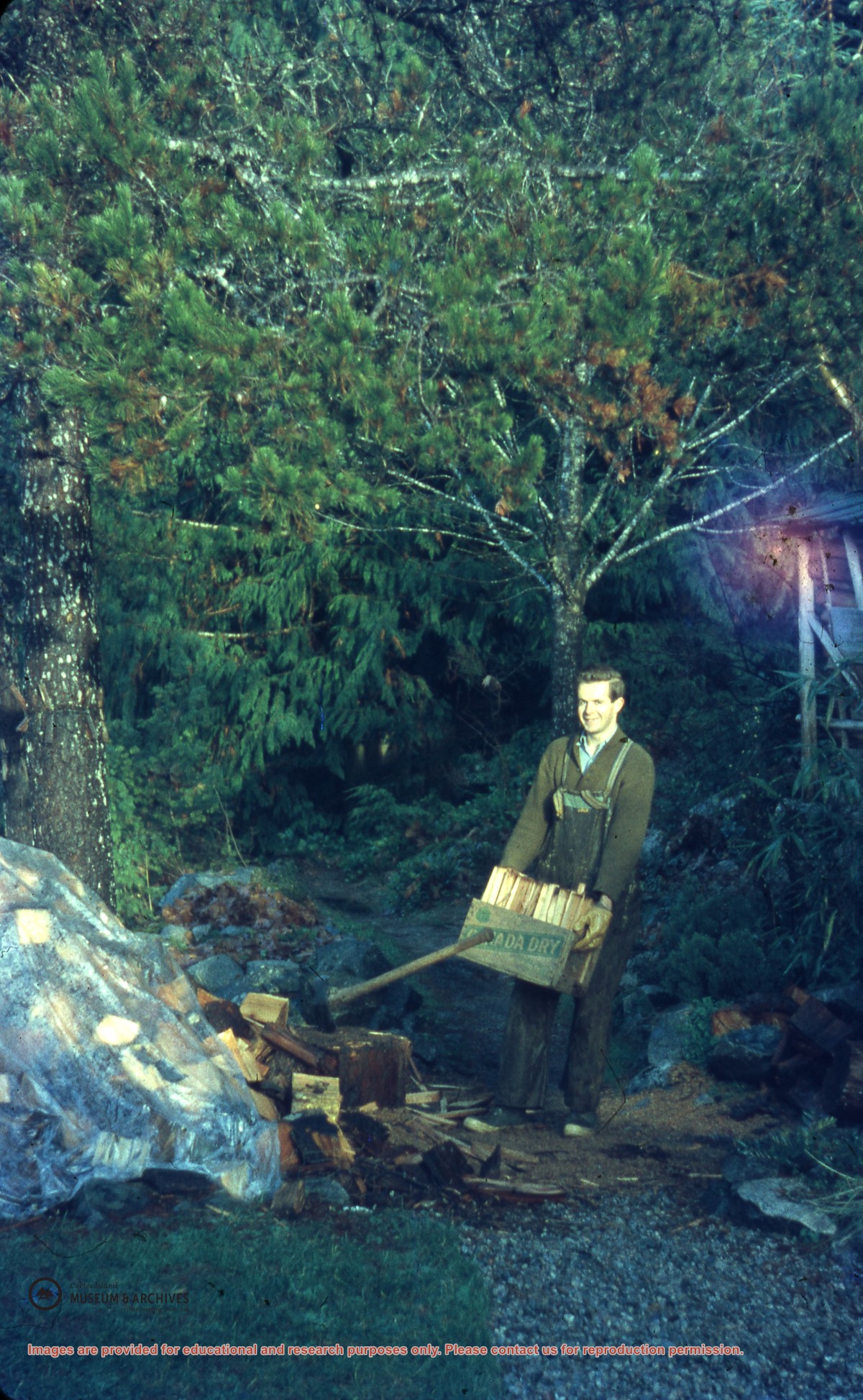
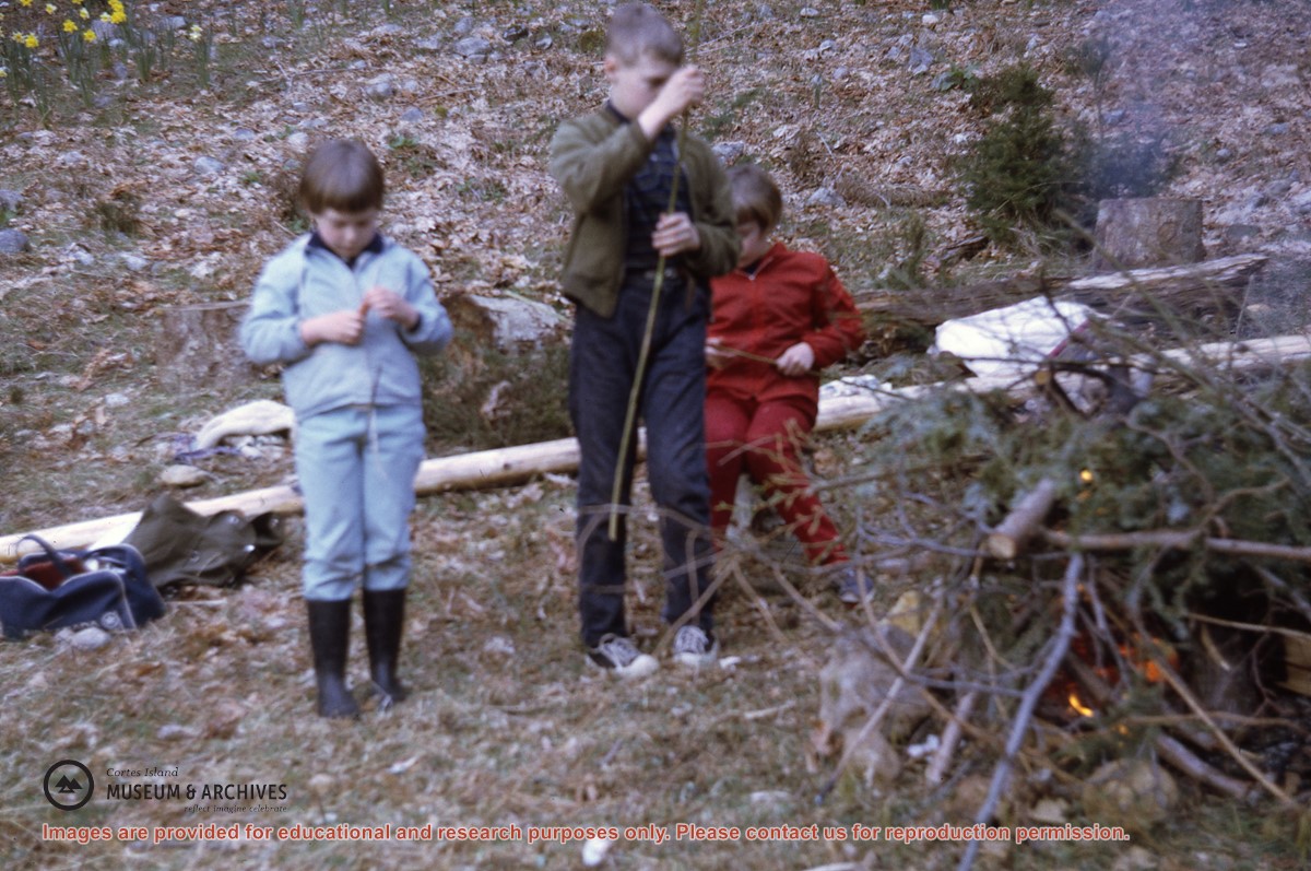
One of a series of photographs taken at Clarence and Doug Boardman's Dot Logging Co. camp in Knight Inlet.
3 photograph prints: b&w ; 10 x 15 cm, 16 x 21 cm & 20 x 25 cm
Scope and Content
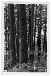
Photograph of forest with large fir trees. Photo was likely taken in Knight Inlet, as another print of the same photo was in an envelope with other photographs taken there.
One of a series of photographs taken at Clarence and Doug Boardman's Dot Logging Co. camp in Knight Inlet.