The base map is a zoning map produced by the Regional District of Comox-
Strathcona for the Cortes Island Land Use Project (Aug 1969). Edwards used
coloured pencil to show land and foreshore zones, and transferred information
about early preemptions and old roads and trails from an earlier map (see
Donald Palmer fonds, 2020.002.011, map of Cortes Island, Sayward District, ca.
1915).
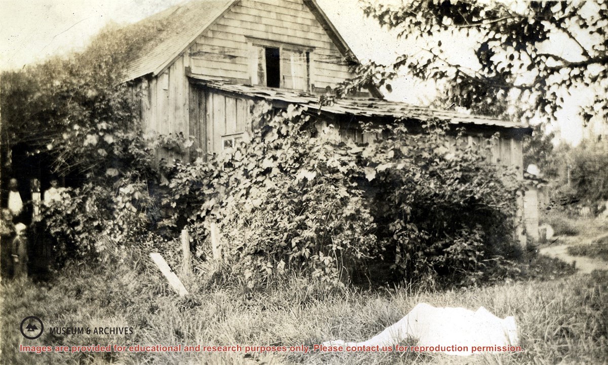
Photograph of a wood shingled house at the Robertson homestead, Burnside. The house is surrounded by bushes and vines. Two men and a boy are standing to the left; a person dressed all in white is lying on the ground.
Photograph of a wood shingled house at the Robertson homestead, Burnside. The house is surrounded by bushes and vines. Two men and a boy are standing to the left; a person dressed all in white is lying on the ground.