The base map is a zoning map produced by the Regional District of Comox-
Strathcona for the Cortes Island Land Use Project (Aug 1969). Edwards used
coloured pencil to show land and foreshore zones, and transferred information
about early preemptions and old roads and trails from an earlier map (see
Donald Palmer fonds, 2020.002.011, map of Cortes Island, Sayward District, ca.
1915).
Coloured map of southwestern BC showing municipalities, geographical features, land and sea routes, natural resources, etc. The back of the map is fully printed with information about BC and suggested travel itineraries.
Map needs preservation: edges are frayed and there are several tears.
Coloured map of southwestern BC showing municipalities, geographical features, land and sea routes, natural resources, etc. The back of the map is fully printed with information about BC and suggested travel itineraries.
Map needs preservation: edges are frayed and there are several tears.
Series consists of materials relating to the Cortes Island Official Community Plan (OCP) and the Zoning Bylaw. It includes copies of the first and second Official Community Plans (1979 and 1995) and the first and second Zoning Bylaws (1970 and 2002). There are materials from an OCP revision (1992 -1995) and a Zoning Bylaw revision (ca. 1998-2003) including annotated draft copies, detailed APC commentary, correspondence, background materials and minutes of public meetings; Plan Maps and maps of Cortes properties.
?? cm of textual records; 4 cerlox-bound map books
Scope and Content
Series consists of materials relating to the Cortes Island Official Community Plan (OCP) and the Zoning Bylaw. It includes copies of the first and second Official Community Plans (1979 and 1995) and the first and second Zoning Bylaws (1970 and 2002). There are materials from an OCP revision (1992 -1995) and a Zoning Bylaw revision (ca. 1998-2003) including annotated draft copies, detailed APC commentary, correspondence, background materials and minutes of public meetings; Plan Maps and maps of Cortes properties.
File contains a copy of the bylaw and map of 1995, a summary of the changes (meant to reconcile 25 year gap between the previous zoning bylaws and the current OCP), and a completion and adoption strategy.
File contains a copy of the bylaw and map of 1995, a summary of the changes (meant to reconcile 25 year gap between the previous zoning bylaws and the current OCP), and a completion and adoption strategy.
File contains zoning maps for Bylaw 41, Electoral Area I, Schedules A1-A7 with revisions to 1999. There is a map of the whole island and larger scale maps of island areas.
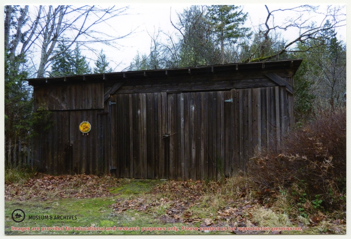
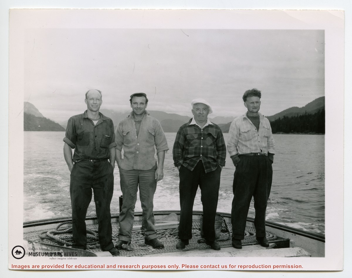
"Sutil Pt road Dept of Highways first maintenance shed. The fence next to it was repaired with old grader blades. Gordon Fretwell, foreman, property about 1957."
"Sutil Pt road Dept of Highways first maintenance shed. The fence next to it was repaired with old grader blades. Gordon Fretwell, foreman, property about 1957."