The base map is a zoning map produced by the Regional District of Comox-
Strathcona for the Cortes Island Land Use Project (Aug 1969). Edwards used
coloured pencil to show land and foreshore zones, and transferred information
about early preemptions and old roads and trails from an earlier map (see
Donald Palmer fonds, 2020.002.011, map of Cortes Island, Sayward District, ca.
1915).
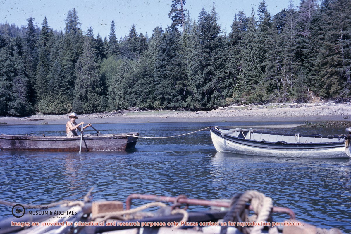
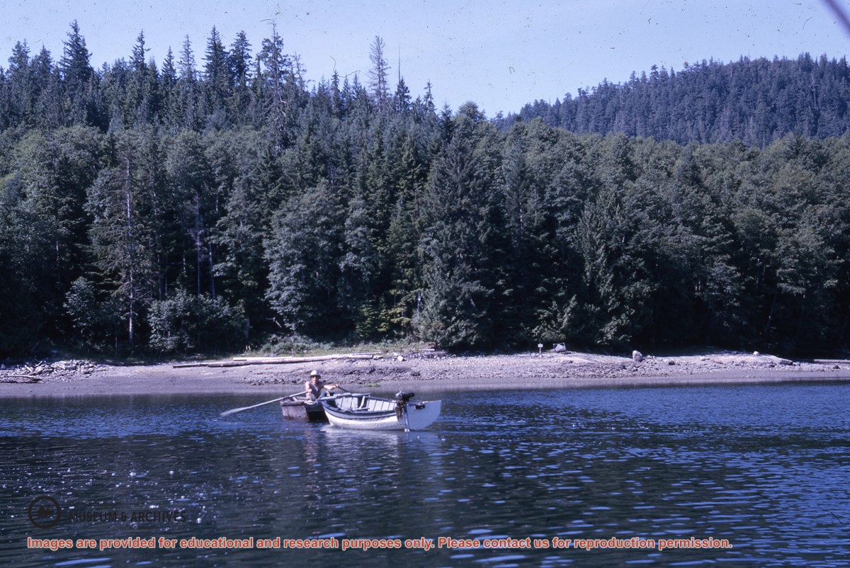
Series consists of typed and carbon copies of articles written by Douglas for publication in newspapers and magazines. Following Douglas's original organization, they are arranged into three subgroups: Coast Articles (arranged by subject, then alphabetically by title); Mountain Articles (arranged alphabetically by title), and Articles by Subject.
Series consists of typed and carbon copies of articles written by Douglas for publication in newspapers and magazines. Following Douglas's original organization, they are arranged into three subgroups: Coast Articles (arranged by subject, then alphabetically by title); Mountain Articles (arranged alphabetically by title), and Articles by Subject.