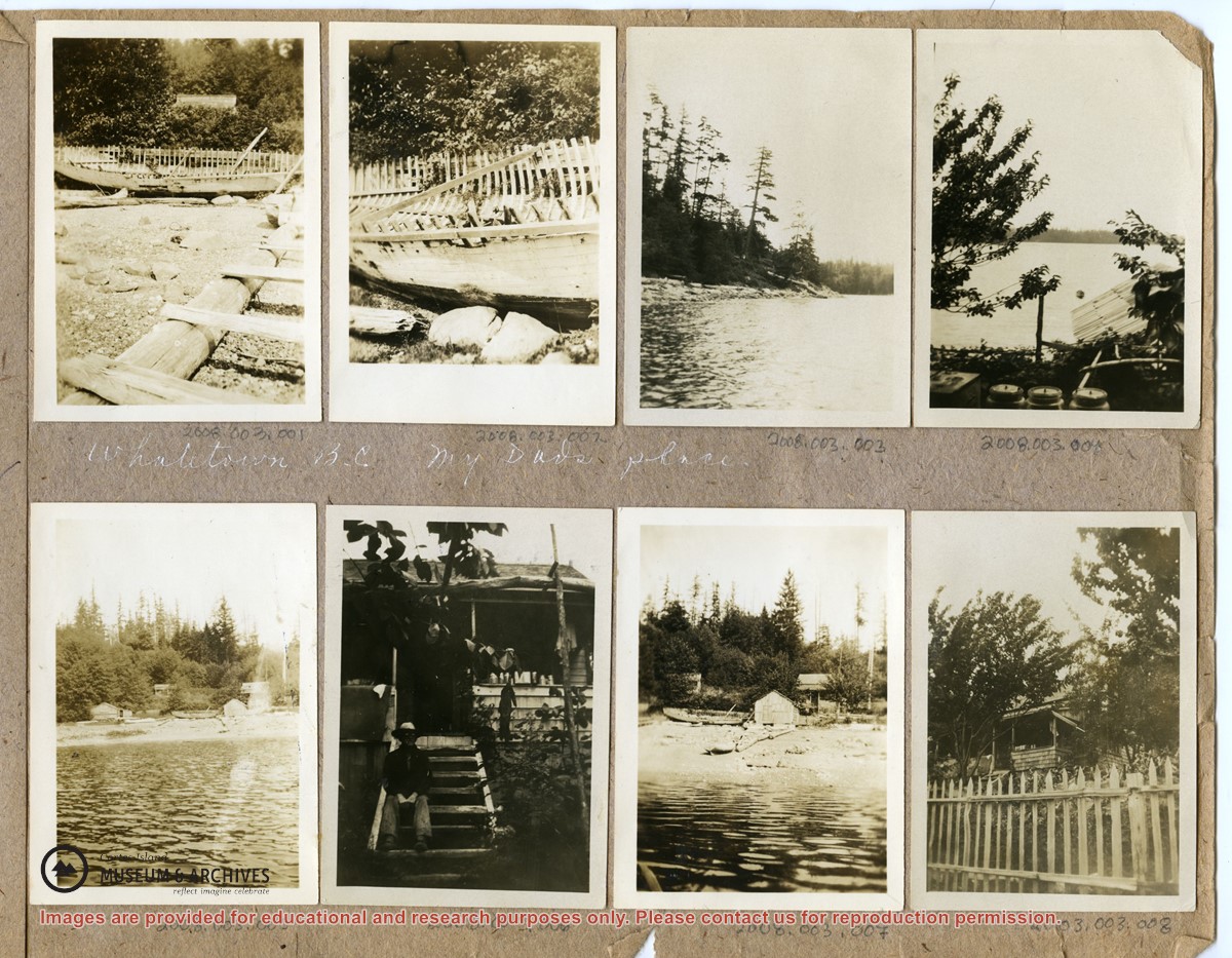
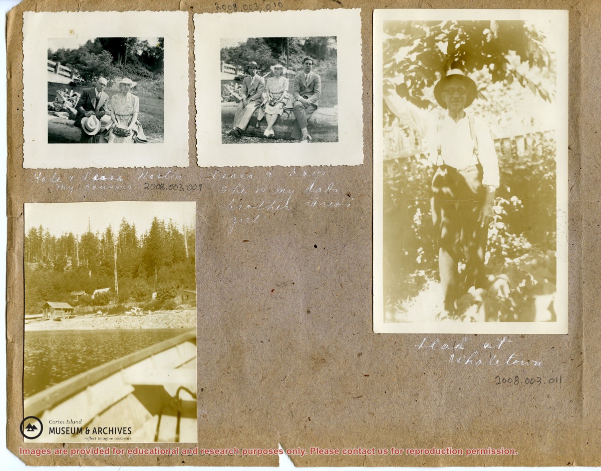
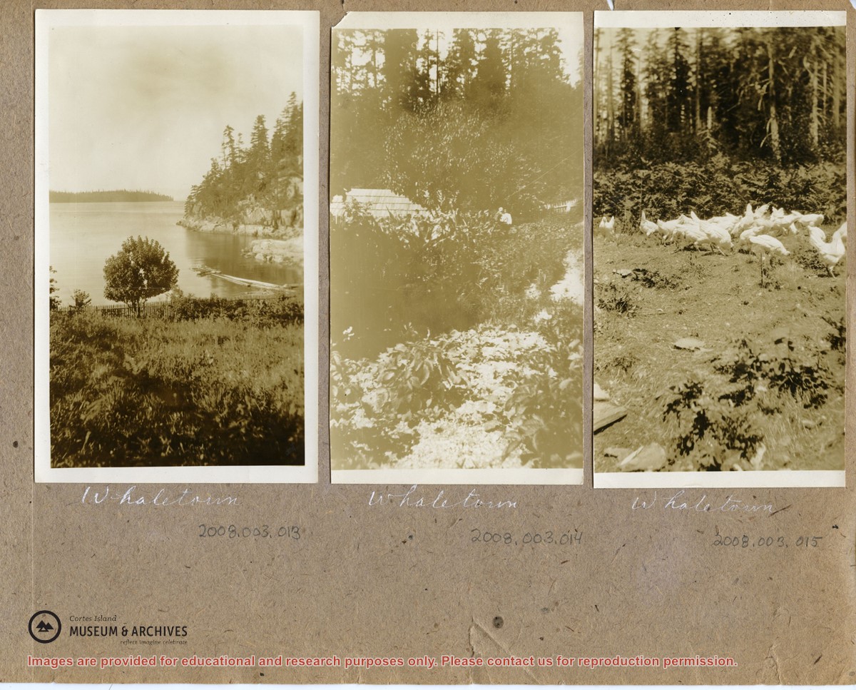
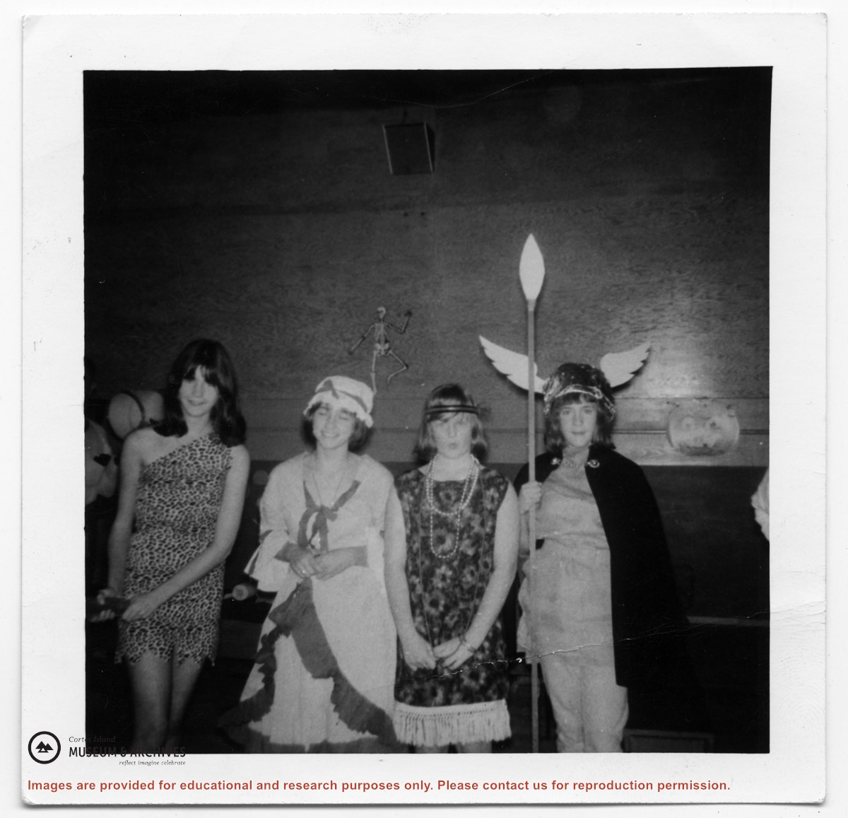
These photographs depict people ((Needs ID) and houses in Whaletown Bay, to the west of the present-day ferry landing. They are labelled "Whaletown B.C., my Dad's place".
2 loose pages from a photograph album containing 15 black and white photographs
History / Biographical
(Obituary from the Powell River Peak: http://www.prpeak.com/articles/2012/12/04/community/obituaries/doc50b6568a6c710870190038.txt)
Annabelle Jane Smith (née Graham), April 10, 1940 – November 19, 2012
Annabelle passed away in Quesnel, BC. She is survived by her daughters Darlene (Dan) Johnson and Paulene Smith, and two granddaughters Brittney and Brooke. She also leaves behind her sisters Penny (Harold) Tuck, Bonnie Skoropad, and Marilyn (Jim) Schmor, brother Robert and many nieces and nephews.
Custodial History
These photographs were mailed to CIMAS in 2008. There is no signed donation form.
Scope and Content
These photographs depict people ((Needs ID) and houses in Whaletown Bay, to the west of the present-day ferry landing. They are labelled "Whaletown B.C., my Dad's place".
File contains a map key to the areas of Sections 17, 18, 19, 22 and 34 (south of Gorge Harbour) which were researched (Information in Files 3-7).
It contains photocopies of original land grants and subsequent conveyances for the following:
Reginald James Smith: 1946, Crown Grant 165414I for fractional SE 1/4 of Sec 23, 1946 (the Thunder Road subdivision at the eastern end of Gorge Harbour).
(Files 3 through 7 are from the same envelope.)
File contains a Key Map to the sections covered in Files 17-19; a list of the sections researched and two pages of notes.
It contains photocopies of Crown Grants and subsequent title changes for the following:
Charles Allen: 1908, Crown Grant for part of NE 1/4 of Sec. 21 lying north of Gorge Harbour (property known as Bute Ranch); 46 acres for $46.00
Bernard Robinson Allen: 1919, Crown Grant for NW 1/4 of Sec. 21; 162 acres for $247.00
Charles Allen: 1905, Crown Grant for SE 1/4 of Sec. 34
(Files 17 through 19 are from the same envelope.)