Series contains five maps:(1) Southern half of Cortes Island, BC Ministry of the Environment, 1975, 24" by 36"; (2) Marina Island and part of Gorge Harbour, BC Ministry of the Environment, 1975, 24" by 36"; (3)Cortes Island (West Half), surveyor's map, 1975, 18" by 44"; (4)Cortes Island (East Half), surveyor's map, 1975, 18" by 44"; (5) Cortes Island Coastal Resource Policies, Schedule B, 1987, 14" by 24", scale 1/50,000 - an RDCS planning map showing uses of the foreshore and water surrounding Cortes, with foreshore lease data to 1987.
Series contains five maps:(1) Southern half of Cortes Island, BC Ministry of the Environment, 1975, 24" by 36"; (2) Marina Island and part of Gorge Harbour, BC Ministry of the Environment, 1975, 24" by 36"; (3)Cortes Island (West Half), surveyor's map, 1975, 18" by 44"; (4)Cortes Island (East Half), surveyor's map, 1975, 18" by 44"; (5) Cortes Island Coastal Resource Policies, Schedule B, 1987, 14" by 24", scale 1/50,000 - an RDCS planning map showing uses of the foreshore and water surrounding Cortes, with foreshore lease data to 1987.
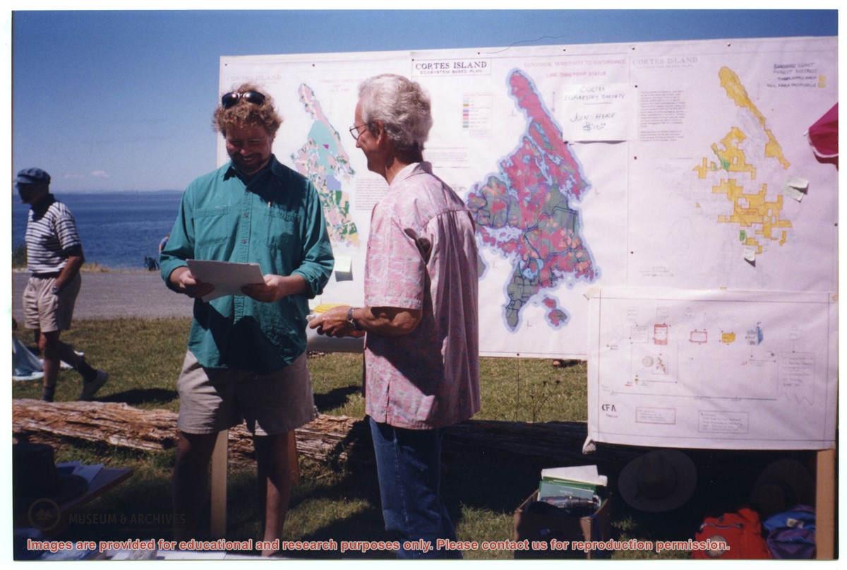
Series consists of a hand drawn map of Cortes Island showing places of interest to visitors, maps showing the location of hydro distribution lines on Cortes Island, maps related to zoning and rezoning on Cortes Island, the Official Settlement Plan, and a drawing showing an engineering plan for the Whaletown ferry terminal.
Series consists of a hand drawn map of Cortes Island showing places of interest to visitors, maps showing the location of hydro distribution lines on Cortes Island, maps related to zoning and rezoning on Cortes Island, the Official Settlement Plan, and a drawing showing an engineering plan for the Whaletown ferry terminal.