File contains a photocopied section map of the northern part of Cortes Island (from just south of Gorge Harbour), coloured to indicate areas for which a Crown Grant was located and areas of ungranted Crown land which still appear to be owned by the government. Scale is 1 mile to 1 inch.
File contains a photocopied section map of the northern part of Cortes Island (from just south of Gorge Harbour), coloured to indicate areas for which a Crown Grant was located and areas of ungranted Crown land which still appear to be owned by the government. Scale is 1 mile to 1 inch.
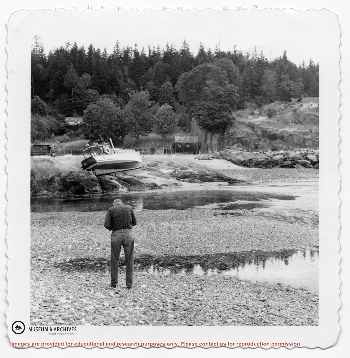
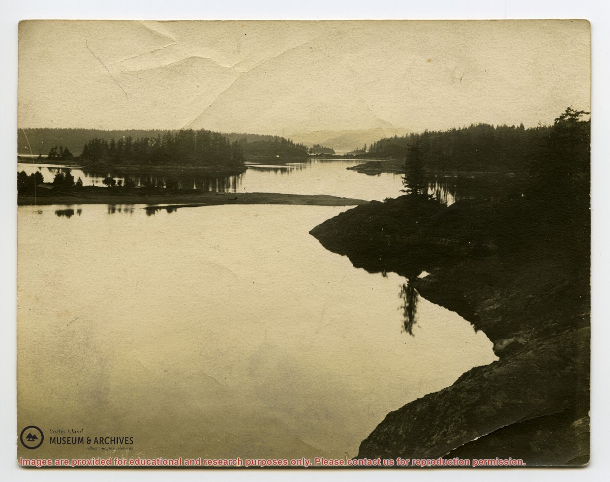
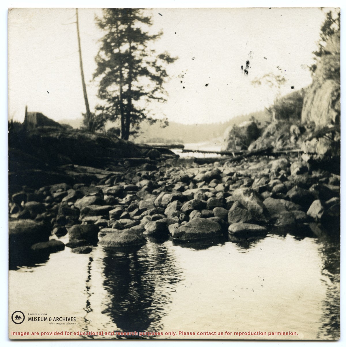
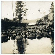
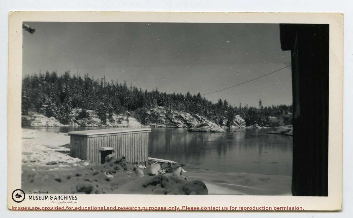
Information packets on the flaura, fauna, and marine life of Manson's Lagoon from CIMAS, Fred and Ruth Zwickel, Sierra Sullivan, and others, 1990-2007. Transcript from Ken Summers in conversation with Susan Ellingsen, Dianne Hentschel and Doreen Thompson, 2005.
Information packets on the flaura, fauna, and marine life of Manson's Lagoon from CIMAS, Fred and Ruth Zwickel, Sierra Sullivan, and others, 1990-2007. Transcript from Ken Summers in conversation with Susan Ellingsen, Dianne Hentschel and Doreen Thompson, 2005.
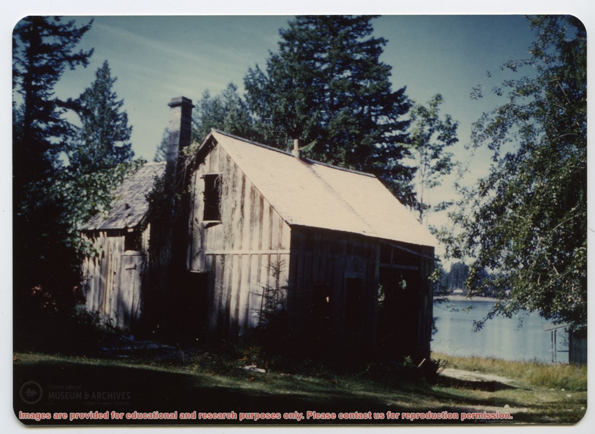
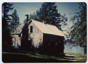
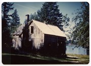
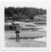
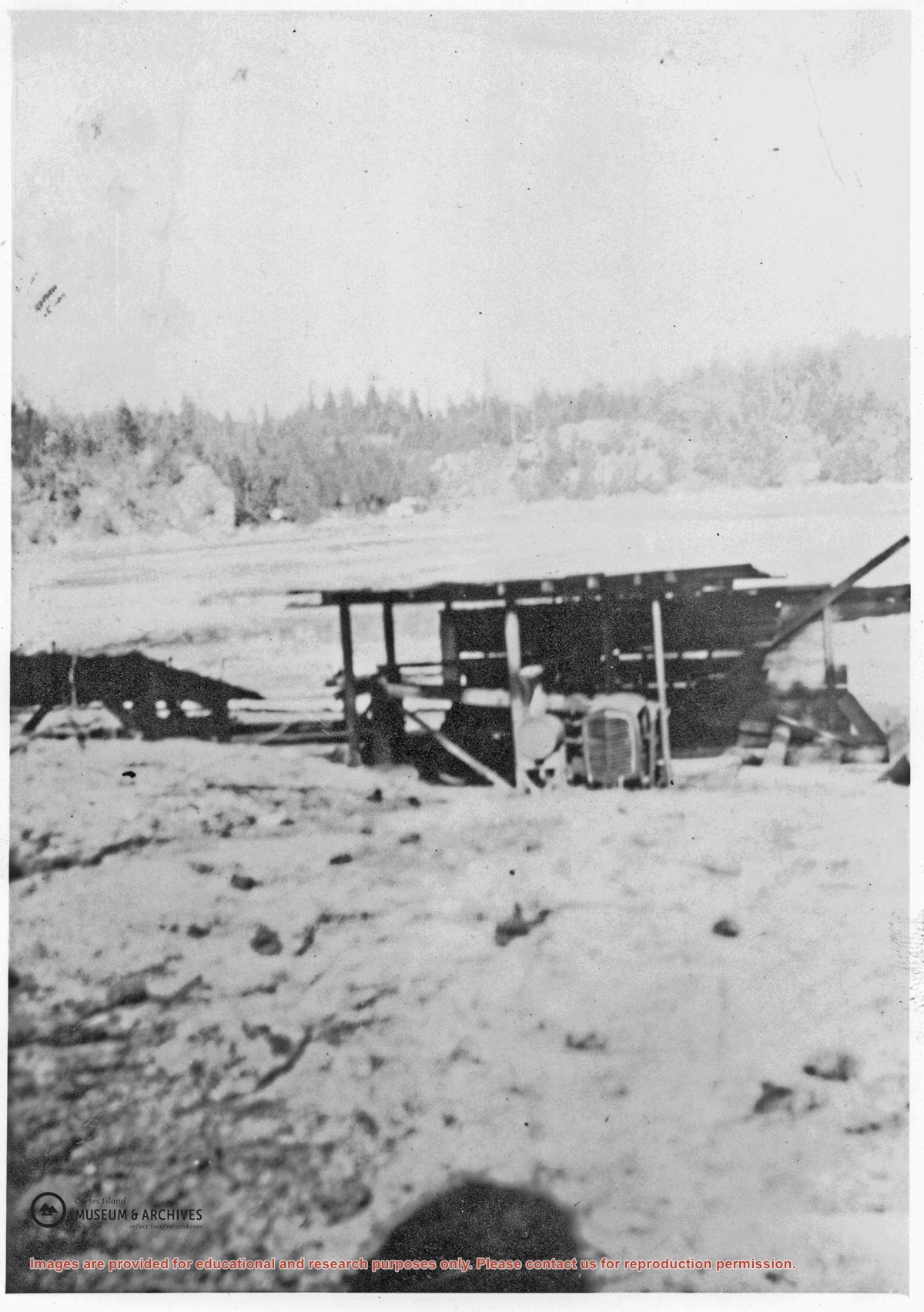
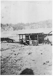
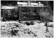
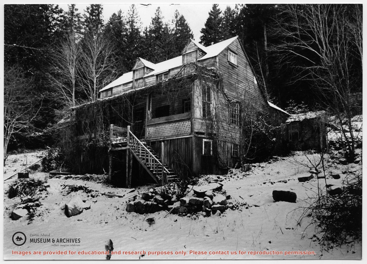
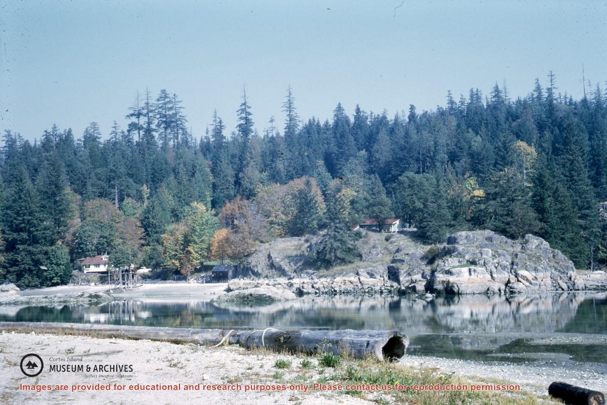
A small lumber mill which was located on the west side of Manson's Lagoon. Some ot the lumber cut with it was used to build the Manson's Landing store put up after Mr. Percy owned the property. Roland (Rollie) Woolsey worked there at the time.
A small lumber mill which was located on the west side of Manson's Lagoon. Some ot the lumber cut with it was used to build the Manson's Landing store put up after Mr. Percy owned the property. Roland (Rollie) Woolsey worked there at the time.