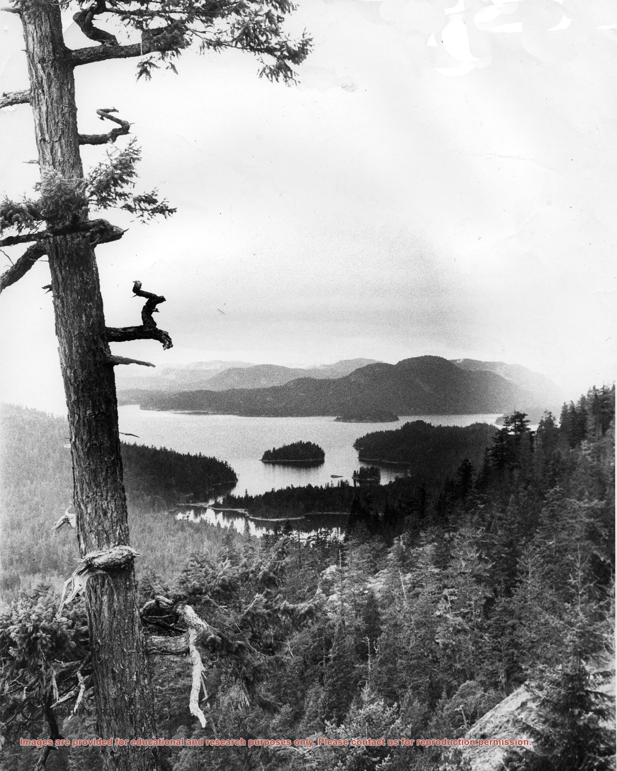
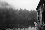
Looking north from Green Mountain over Carrington Lagoon and Carrington Bay (tidal falls in between) across 5 miles of water to Read Island, with a slew of islands to the north.
Map of the British Empire, drawn by Eric Dinickel for publication in the June, 1953 issue of Maclean’s (the month of the coronation of Queen Elizabeth II). Printed in full colour.
Map of the British Empire, drawn by Eric Dinickel for publication in the June, 1953 issue of Maclean’s (the month of the coronation of Queen Elizabeth II). Printed in full colour.
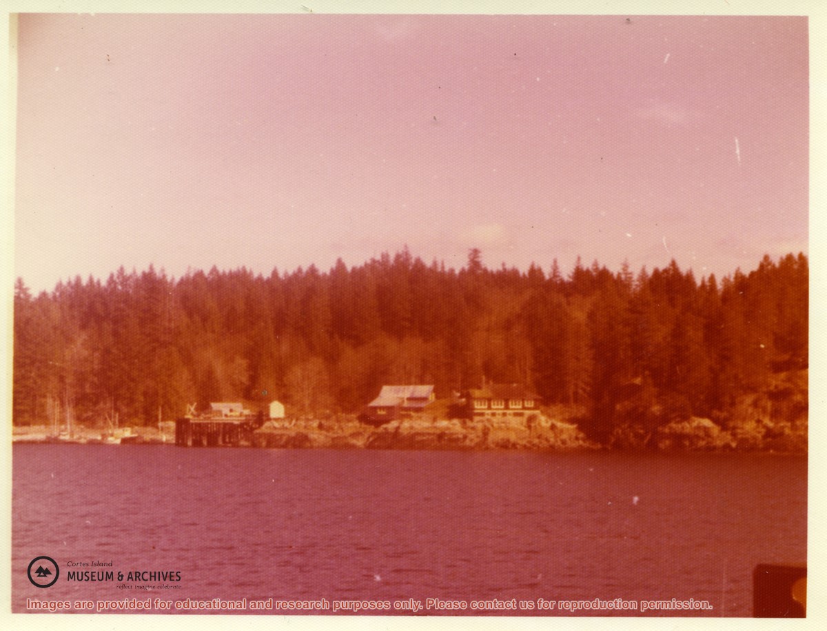
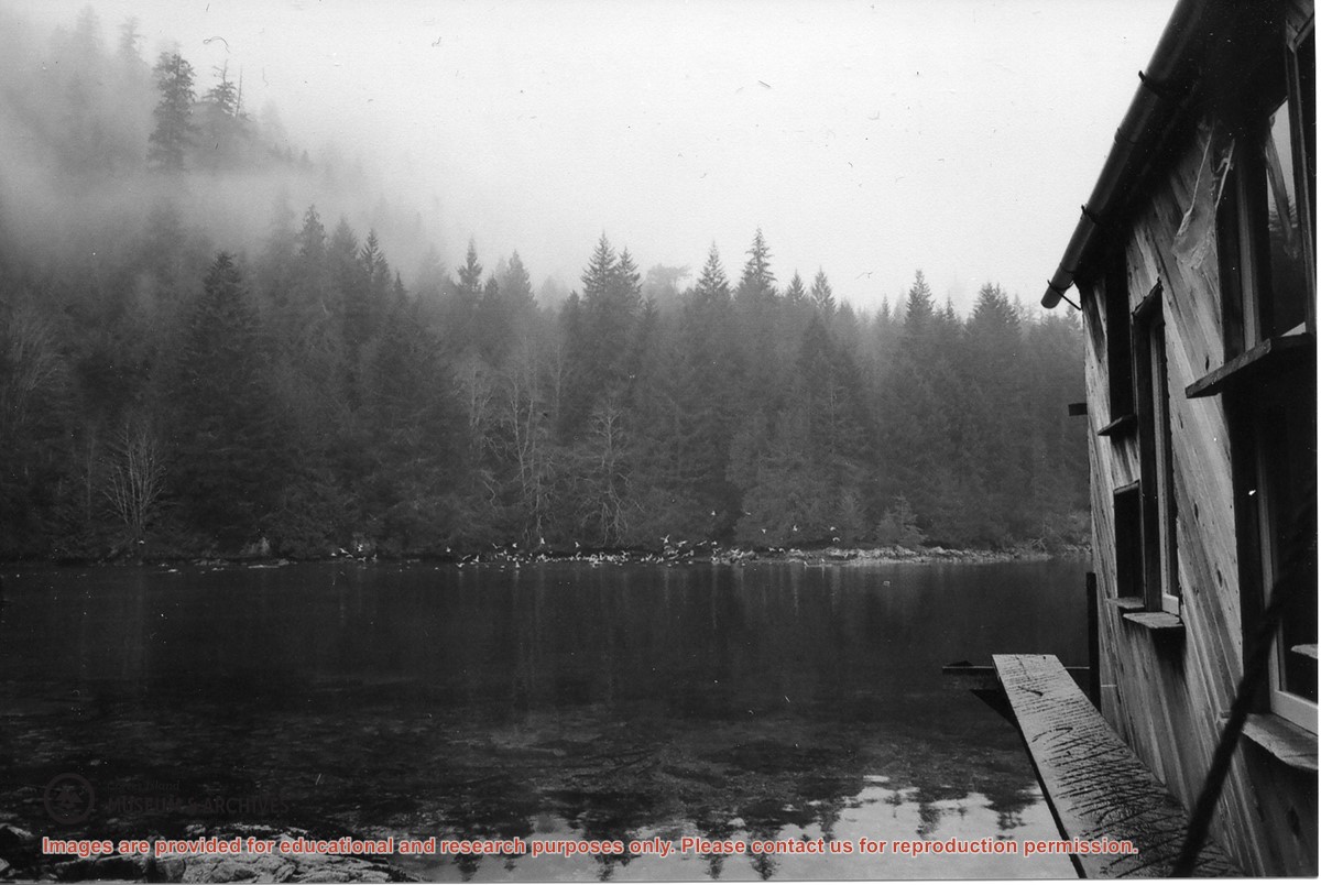
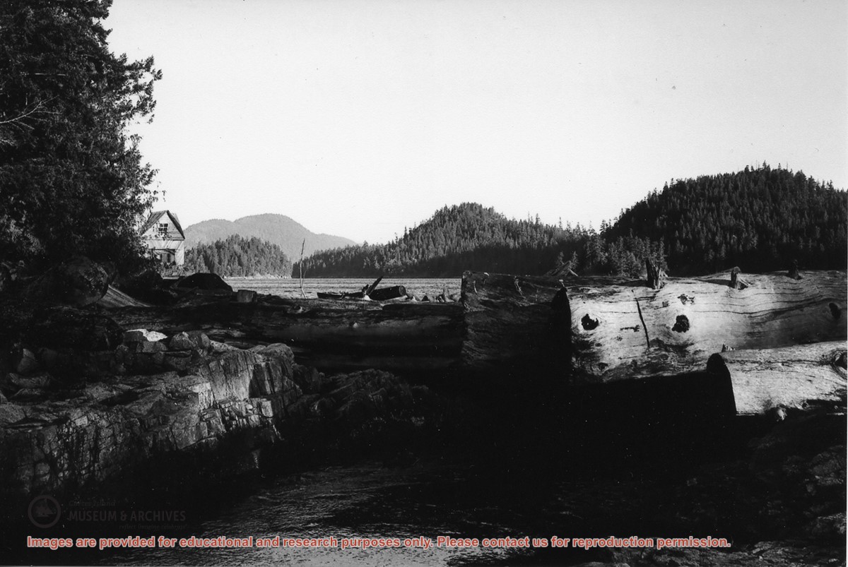
“Large numbers of sea birds overwinter in Carrington Lagoon & Bay. Nudibranchs spawn in lagoon as well as chum & coho (Spruce Creek). Herring run into the bay.”
“Large numbers of sea birds overwinter in Carrington Lagoon & Bay. Nudibranchs spawn in lagoon as well as chum & coho (Spruce Creek). Herring run into the bay.”
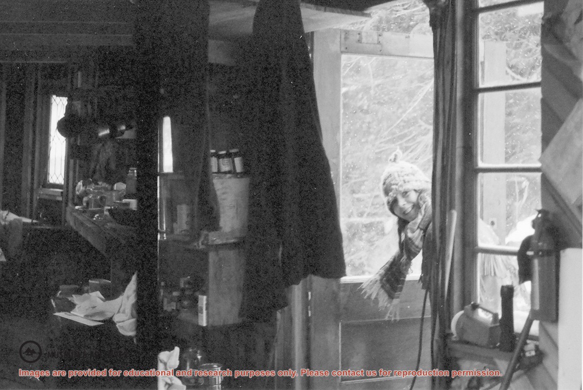
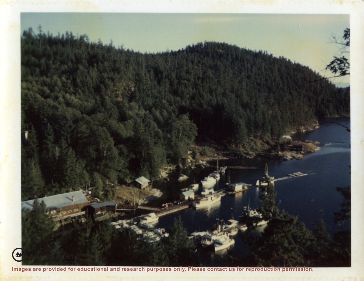
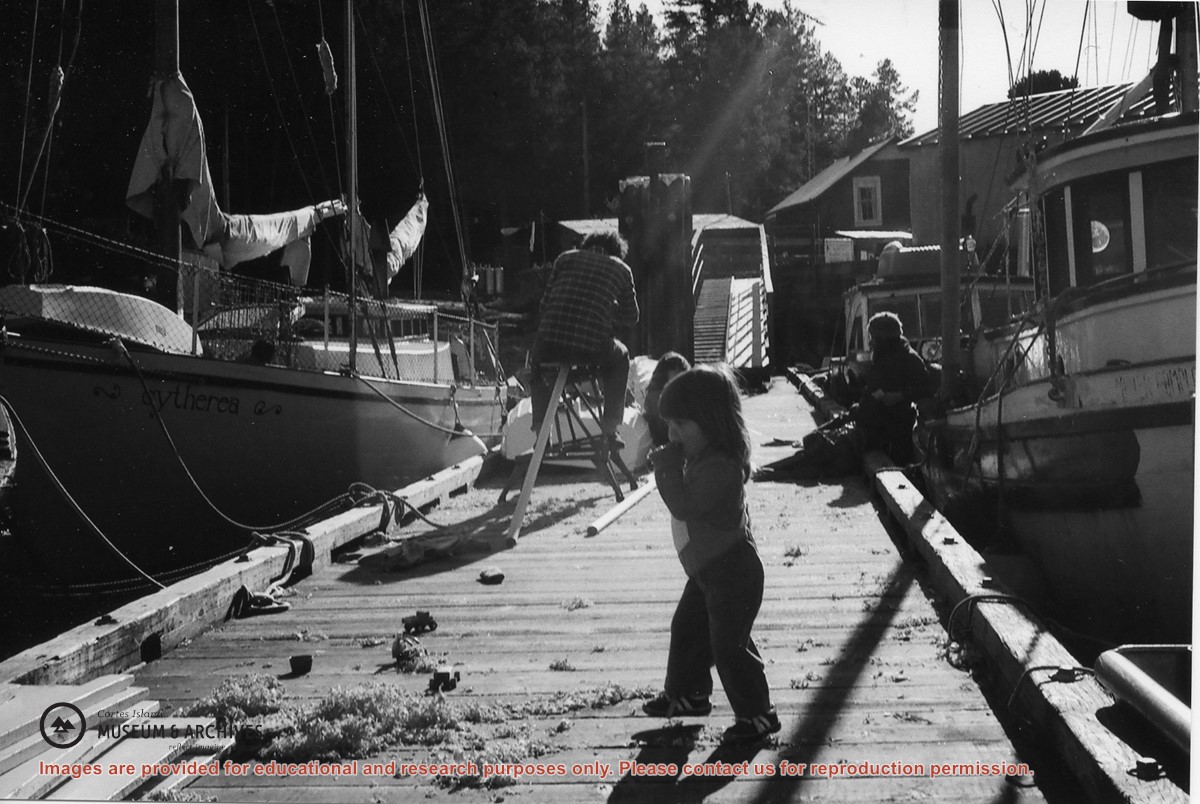
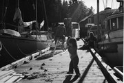
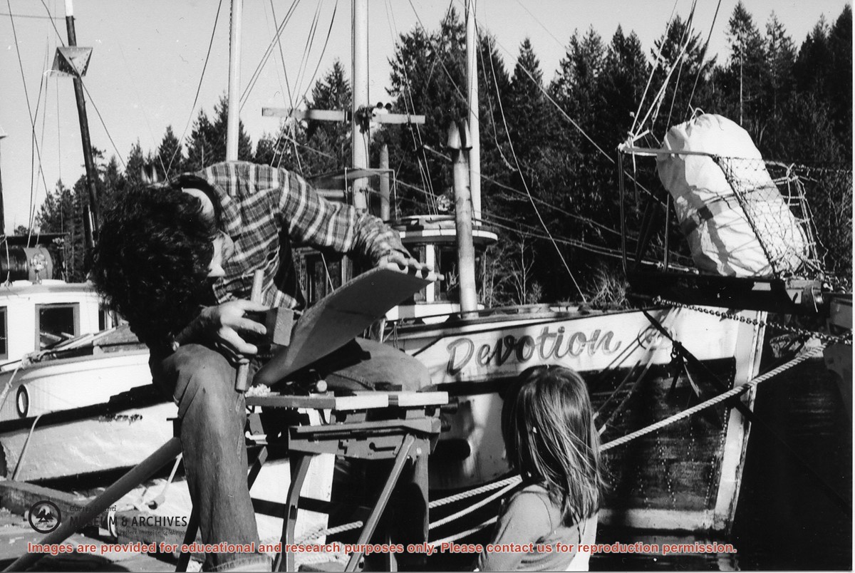
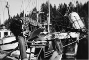
Mark Appleyard makes an oar as Emily looks on. Wendy Knudsen, Mark & Emily lived aboard the sailboat Cytherea. Zuk’s boat Devotion in background (Whaletown dock)