Two men standing beside a car in the valley at Knight Inlet. Logging camp buildings may be seen in the background. This is a near-duplicate of 1999.001.1053.
One of a series of photographs taken at Clarence and Doug Boardman's Dot Logging Co. camp in Knight Inlet.
2 photograph prints: b&w ; 18 x 12 cm & 21.5 x 16.5
Scope and Content
Two men standing beside a car in the valley at Knight Inlet. Logging camp buildings may be seen in the background. This is a near-duplicate of 1999.001.1053.
One of a series of photographs taken at Clarence and Doug Boardman's Dot Logging Co. camp in Knight Inlet.
The base map is a zoning map produced by the Regional District of Comox-
Strathcona for the Cortes Island Land Use Project (Aug 1969). Edwards used
coloured pencil to show land and foreshore zones, and transferred information
about early preemptions and old roads and trails from an earlier map (see
Donald Palmer fonds, 2020.002.011, map of Cortes Island, Sayward District, ca.
1915).
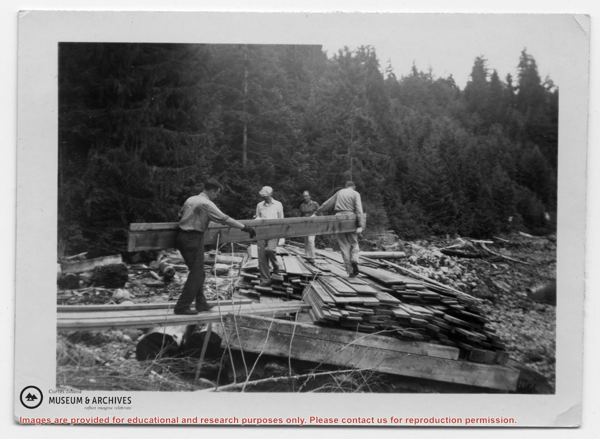
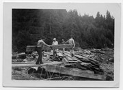
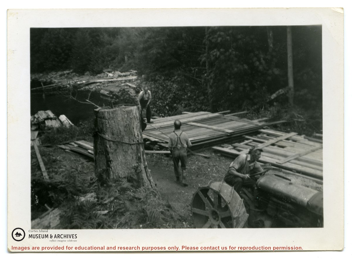
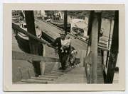
Photograph labelled "Rendezvous Patrol. A work bee of men from Whaletown, loading lumber onto a float left dry at low tide. The lumber, to be used for the Clinic Building, was loaded, and then floated off the beach at high tide and towed home."
Photograph labelled "Rendezvous Patrol. A work bee of men from Whaletown, loading lumber onto a float left dry at low tide. The lumber, to be used for the Clinic Building, was loaded, and then floated off the beach at high tide and towed home."