File consists of records relating to logging done by Freeman and Mathews on crown land near Carrington Bay. It contains account sheets of the log buyer, Forestry scale sheets, statements of expense and maps of the area of logging.
File consists of records relating to logging done by Freeman and Mathews on crown land near Carrington Bay. It contains account sheets of the log buyer, Forestry scale sheets, statements of expense and maps of the area of logging.
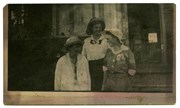
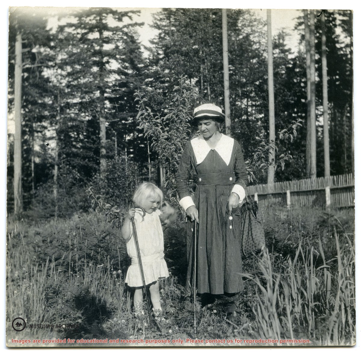
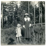
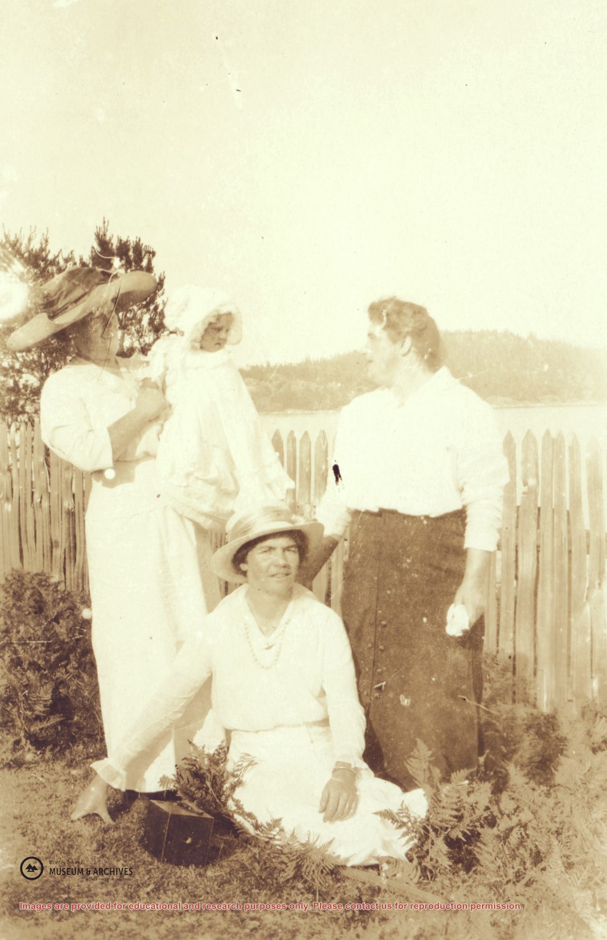
Left to right: Mrs. Frank Petznick, daughter Bernadette, Mrs. John (Margaret) Manson and Miss Katherine Lettice (seated) by a picket fence at Sunny Brae farm with Twin Islands in the background. (This picture is a duplicate of photograph 2004.002.073)
Left to right: Mrs. Frank Petznick, daughter Bernadette, Mrs. John (Margaret) Manson and Miss Katherine Lettice (seated) by a picket fence at Sunny Brae farm with Twin Islands in the background. (This picture is a duplicate of photograph 2004.002.073)
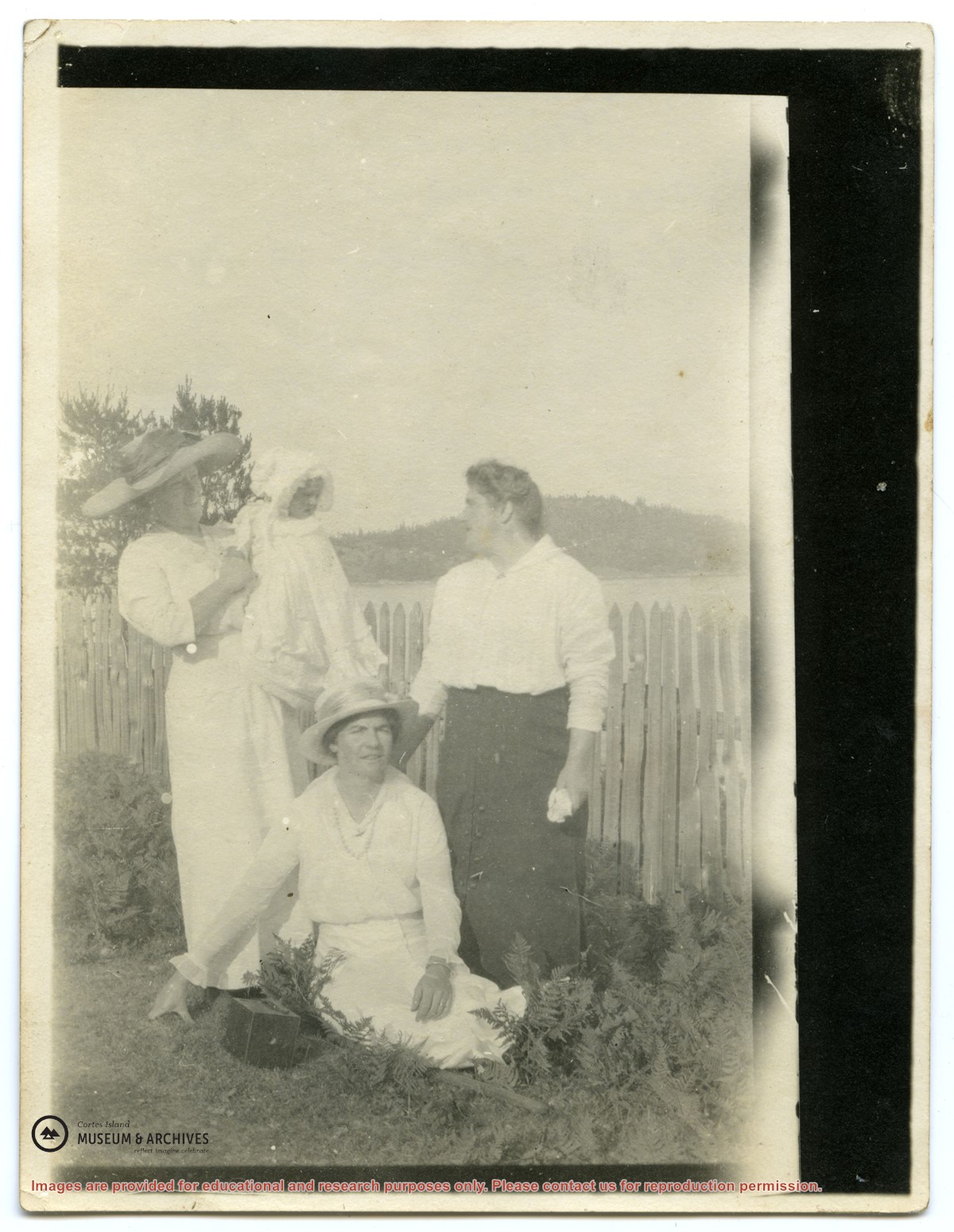
Left to right: Mrs. Frank Petznick, daughter Bernadette, Mrs. John (Margaret) Manson and Miss Katherine Lettice (seated) by a picket fence at Sunny Brae farm with Twin Islands in the background. (This picture is a duplicate of photograph #2004.002.016)
Left to right: Mrs. Frank Petznick, daughter Bernadette, Mrs. John (Margaret) Manson and Miss Katherine Lettice (seated) by a picket fence at Sunny Brae farm with Twin Islands in the background. (This picture is a duplicate of photograph #2004.002.016)
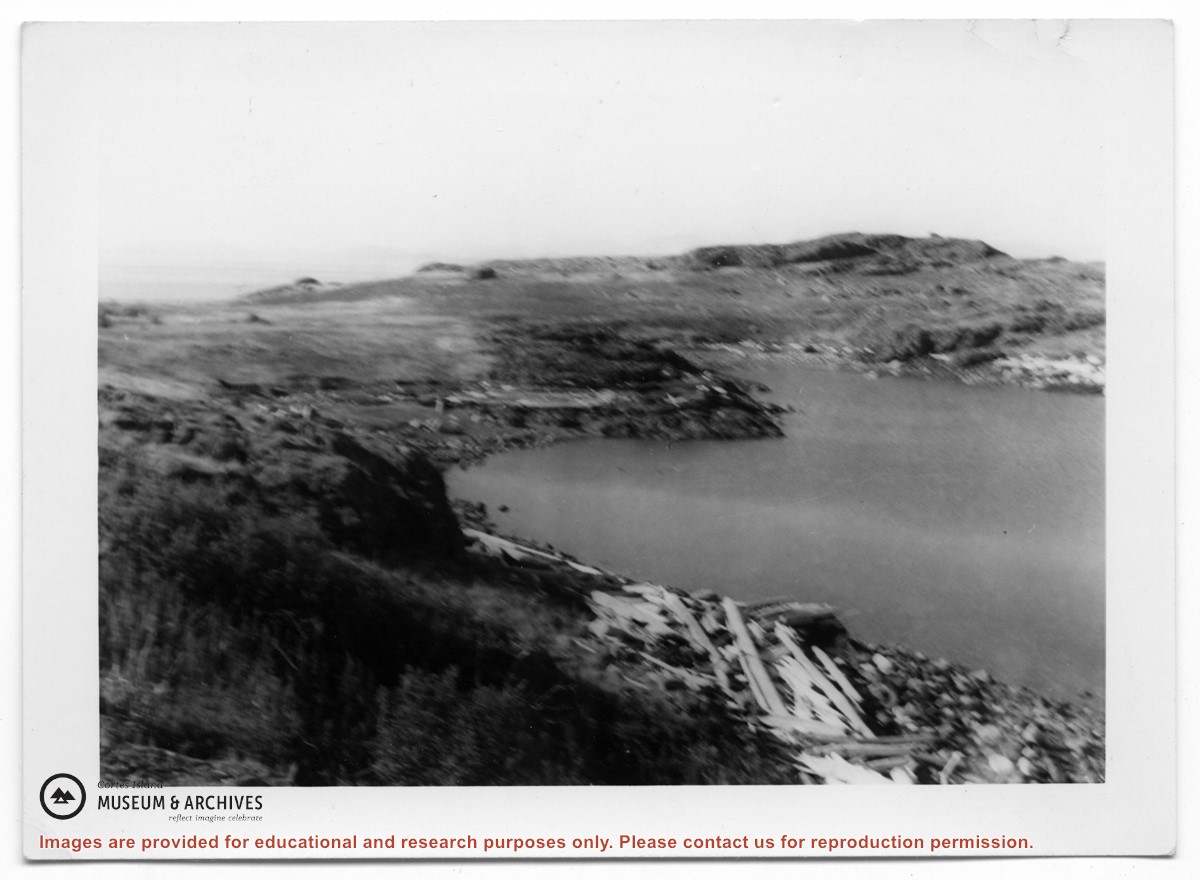
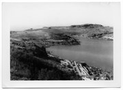
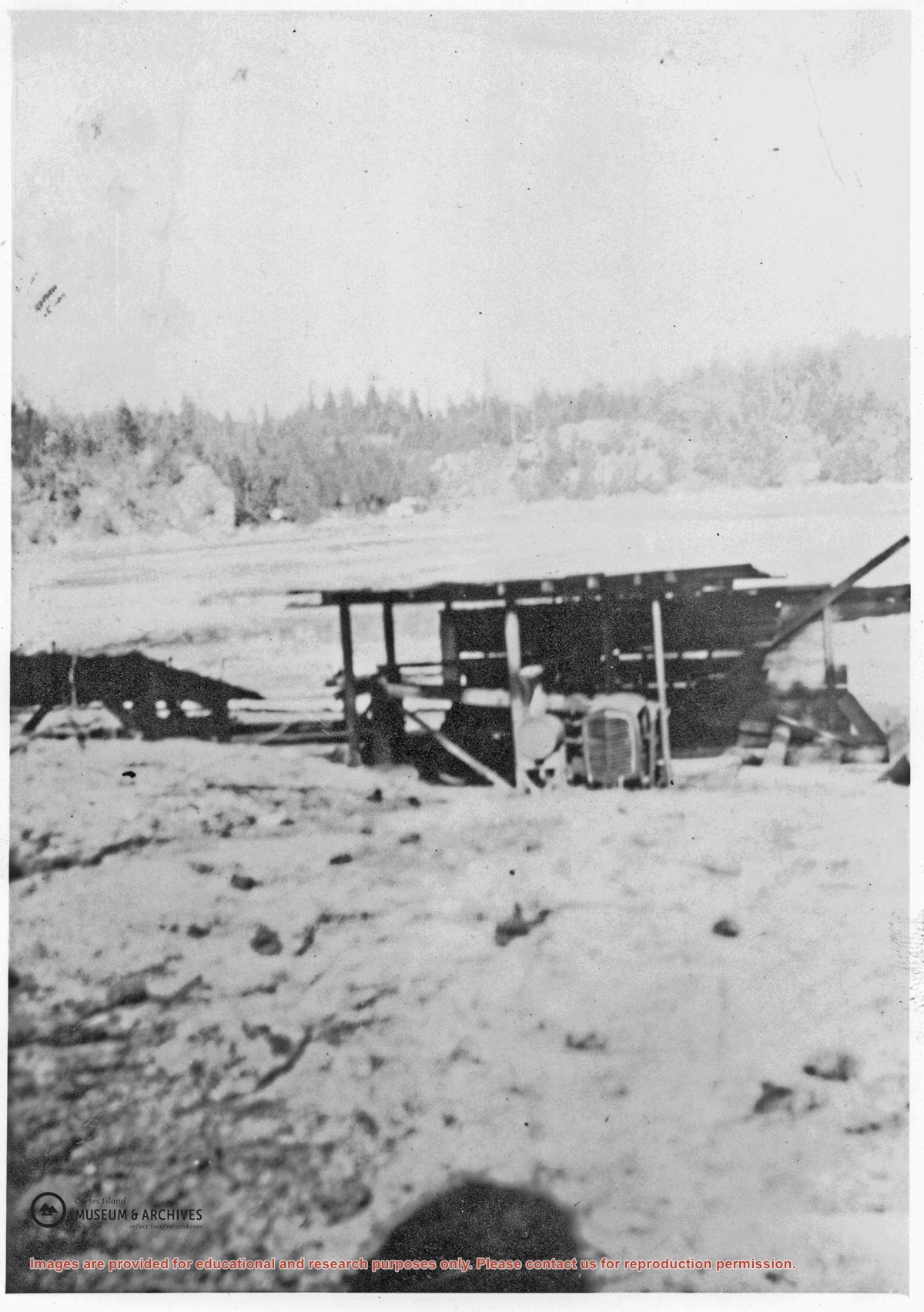
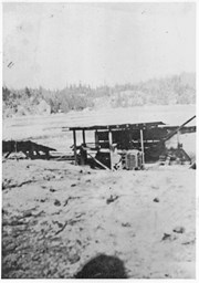
A small lumber mill which was located on the west side of Manson's Lagoon. Some ot the lumber cut with it was used to build the Manson's Landing store put up after Mr. Percy owned the property. Roland (Rollie) Woolsey worked there at the time.
A small lumber mill which was located on the west side of Manson's Lagoon. Some ot the lumber cut with it was used to build the Manson's Landing store put up after Mr. Percy owned the property. Roland (Rollie) Woolsey worked there at the time.
File contains a map key to the areas of Sections 17, 18, 19, 22 and 34 (south of Gorge Harbour) which were researched (Information in Files 3-7).
It contains photocopies of original land grants and subsequent conveyances for the following:
Reginald James Smith: 1946, Crown Grant 165414I for fractional SE 1/4 of Sec 23, 1946 (the Thunder Road subdivision at the eastern end of Gorge Harbour).
(Files 3 through 7 are from the same envelope.)

.jpg?width=1200&404=no-img.jpg&watermark=wmk)
.jpg?width=1200&404=no-img.jpg&watermark=wmk)
.jpg?width=180&404=no-img.jpg)