File contains a hand-drawn map of Hernando Island showing original pre-emptions, with information about settlement, schools and changes of title written on it.
File contains a hand-drawn map of Hernando Island showing original pre-emptions, with information about settlement, schools and changes of title written on it.
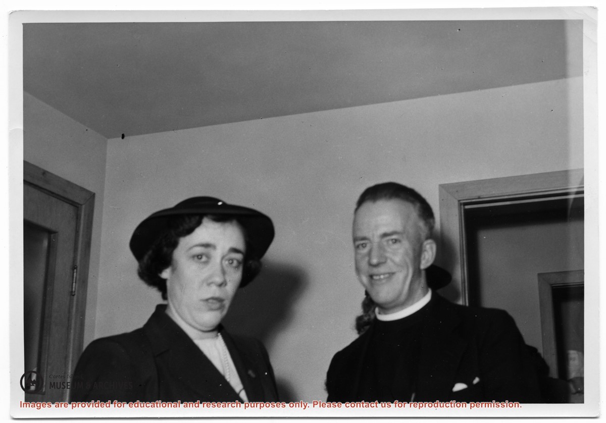
BC Bureau of Provincial Information Bulletin No. 7, 1929. Poem written by Emily Rekert, 1933. Excerpt from The Log of the Columbia, 1947. Issues of "The Log," a publication of the Columbia Coast Mission, 1951-1967. Writing, photographs, and article clippings with info on St John the Baptist Church in Whaletown, Rev. Alan Greene, Rev. Douglas Kendall, Columbia III, Rev. Patrick Ellis, Rev. Rollo Boas, old Cortes Clinic, Mrs. David A. Robertson, The Rendezvous, Rev. Ivan H. Futter, Simmon float, 1957-2011. Excerpts from The Columbia is Coming! by Doris Andersen, 1982. Receipt issued to Vern Logan, 2017.
BC Bureau of Provincial Information Bulletin No. 7, 1929. Poem written by Emily Rekert, 1933. Excerpt from The Log of the Columbia, 1947. Issues of "The Log," a publication of the Columbia Coast Mission, 1951-1967. Writing, photographs, and article clippings with info on St John the Baptist Church in Whaletown, Rev. Alan Greene, Rev. Douglas Kendall, Columbia III, Rev. Patrick Ellis, Rev. Rollo Boas, old Cortes Clinic, Mrs. David A. Robertson, The Rendezvous, Rev. Ivan H. Futter, Simmon float, 1957-2011. Excerpts from The Columbia is Coming! by Doris Andersen, 1982. Receipt issued to Vern Logan, 2017.
Various maps of Cortes Island and surrounding areas with tourist info, trails, provincial parks, local businesses, sites, property lines, topography, charts, etc, 1916-present. Info on Hiking and Orienteering Map of Cortes Island, 2003, and Cortes Island Community Mapping Project, 2011. Info on Discovery Islands Ecosystem Mapping (DIEM), 2012-2014.
Various maps of Cortes Island and surrounding areas with tourist info, trails, provincial parks, local businesses, sites, property lines, topography, charts, etc, 1916-present. Info on Hiking and Orienteering Map of Cortes Island, 2003, and Cortes Island Community Mapping Project, 2011. Info on Discovery Islands Ecosystem Mapping (DIEM), 2012-2014.
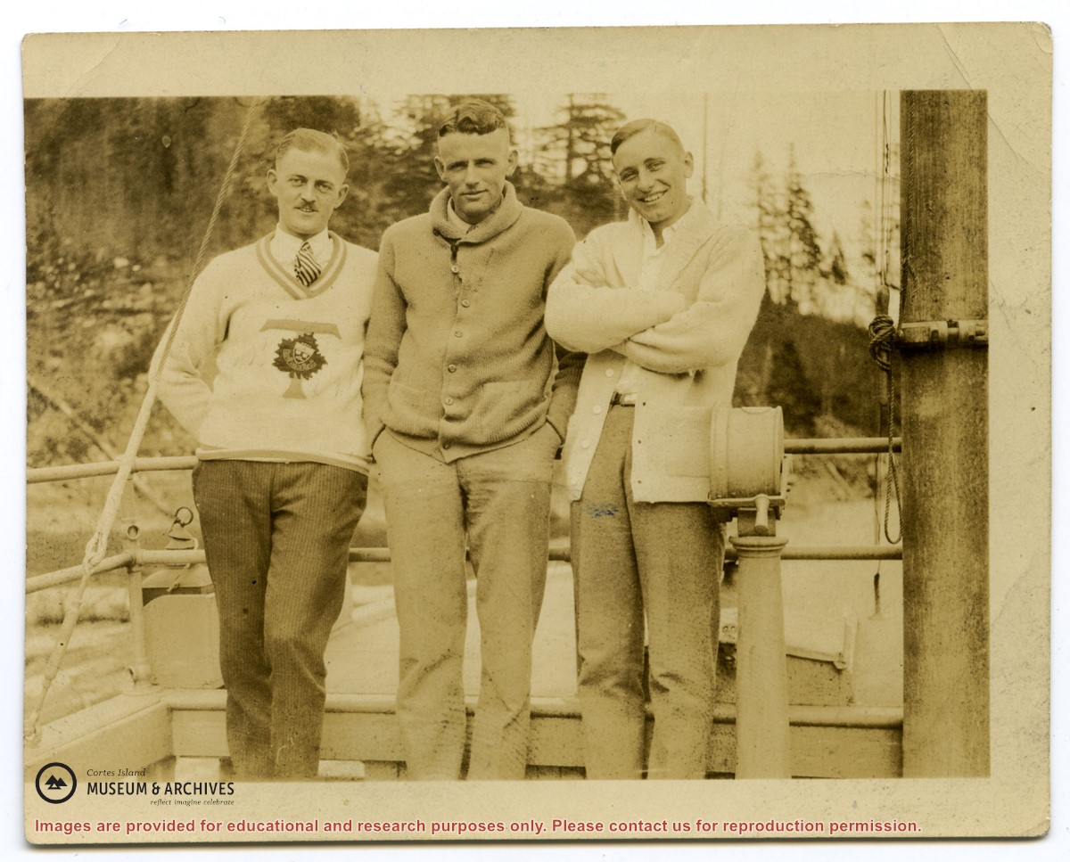
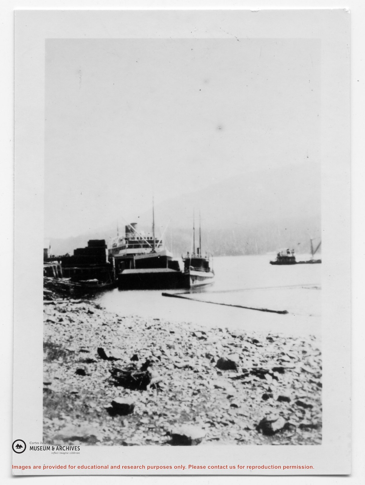
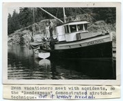
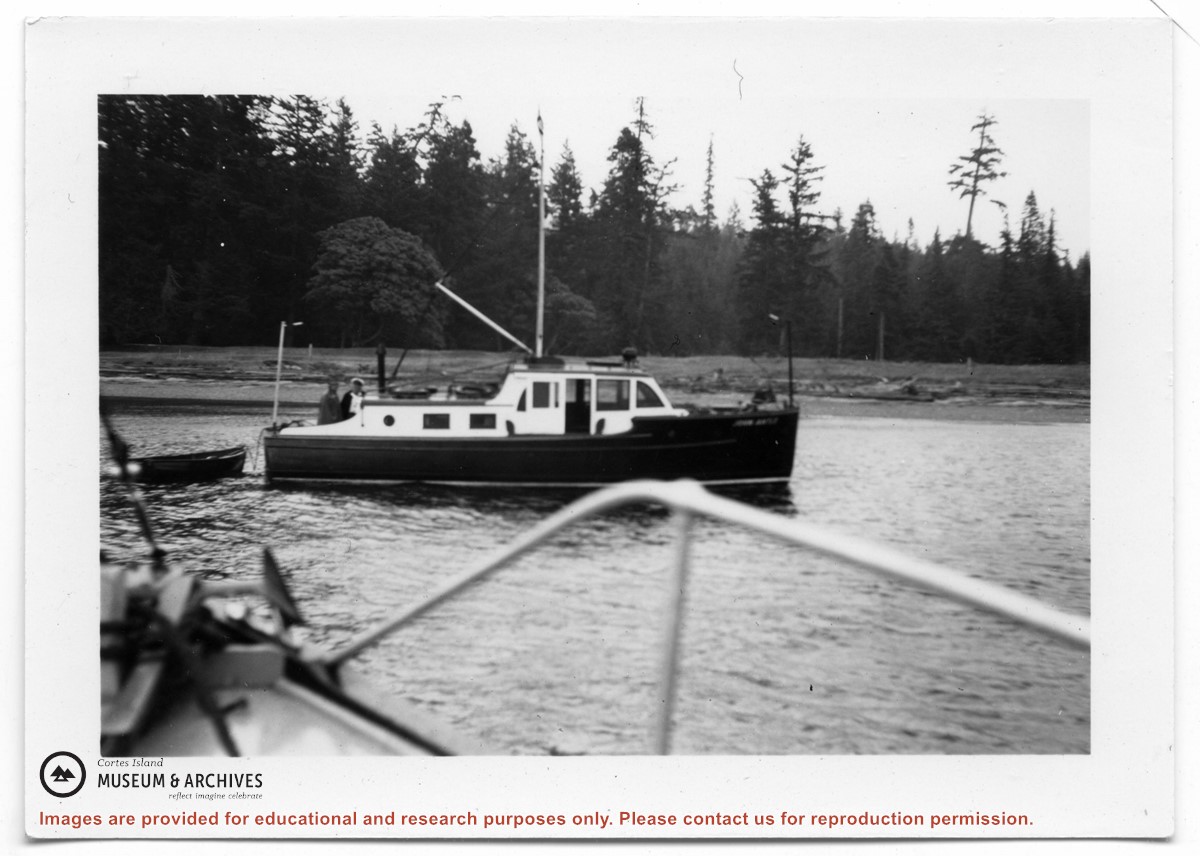
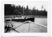
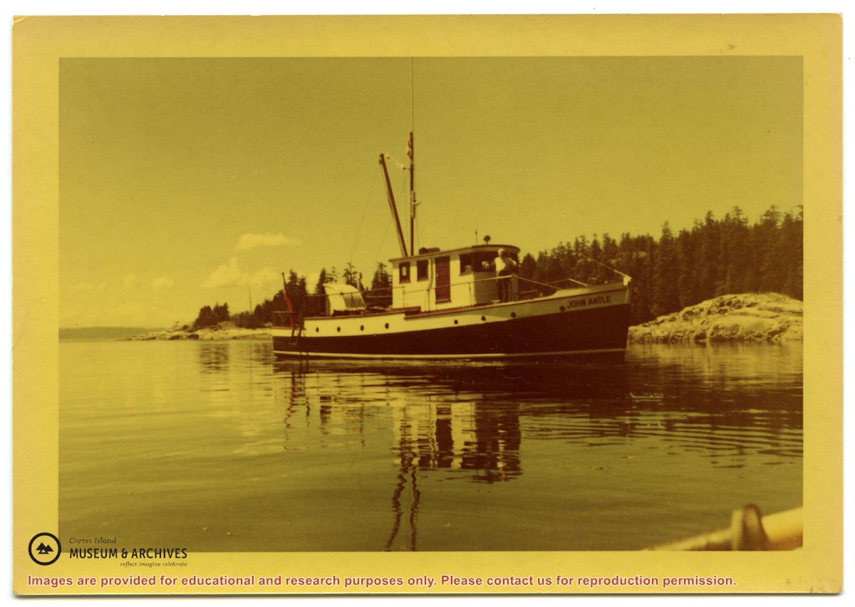
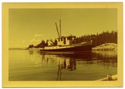
Photograph of the "John Antle" leaving port. An appended caption of the back of A says "The mission ship "Rendezvous" (skipper Rollo Boas) leaving Whaletown her home port." However, the back of B identifies the location as Heriot Bay, and the boat is the "John Antle".
2 photograph prints: b&w; 15.5 x 10.5 (A) and 9 x 6.5 (B)
Scope and Content
Photograph of the "John Antle" leaving port. An appended caption of the back of A says "The mission ship "Rendezvous" (skipper Rollo Boas) leaving Whaletown her home port." However, the back of B identifies the location as Heriot Bay, and the boat is the "John Antle".
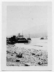
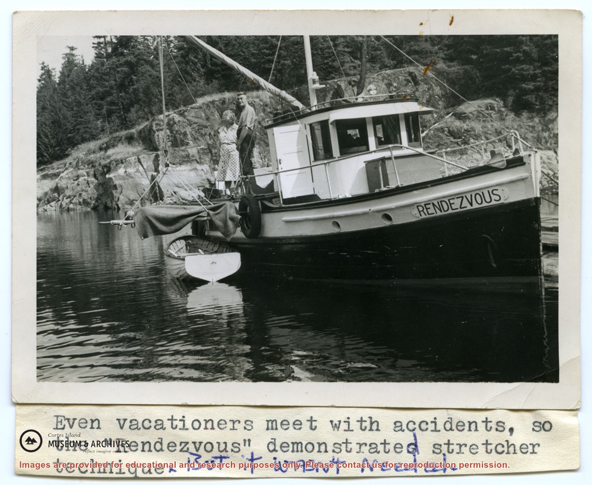
Photograph of an injured logger on a stretcher, being loaded off of a logging camp launch onto the "Columbia". Photo c is in the oversize photo box and has Alan Greene's notations on the back. See #1999.001.958. (see "Anderson, Doris, "The Columbia Is Coming"; Gray's Publishing, 1982, photo inset)
3 photograph prints: b&w; a & b are 13 x 10 cm; c is 25.5 x 20.5 cm
Scope and Content
Photograph of an injured logger on a stretcher, being loaded off of a logging camp launch onto the "Columbia". Photo c is in the oversize photo box and has Alan Greene's notations on the back. See #1999.001.958. (see "Anderson, Doris, "The Columbia Is Coming"; Gray's Publishing, 1982, photo inset)
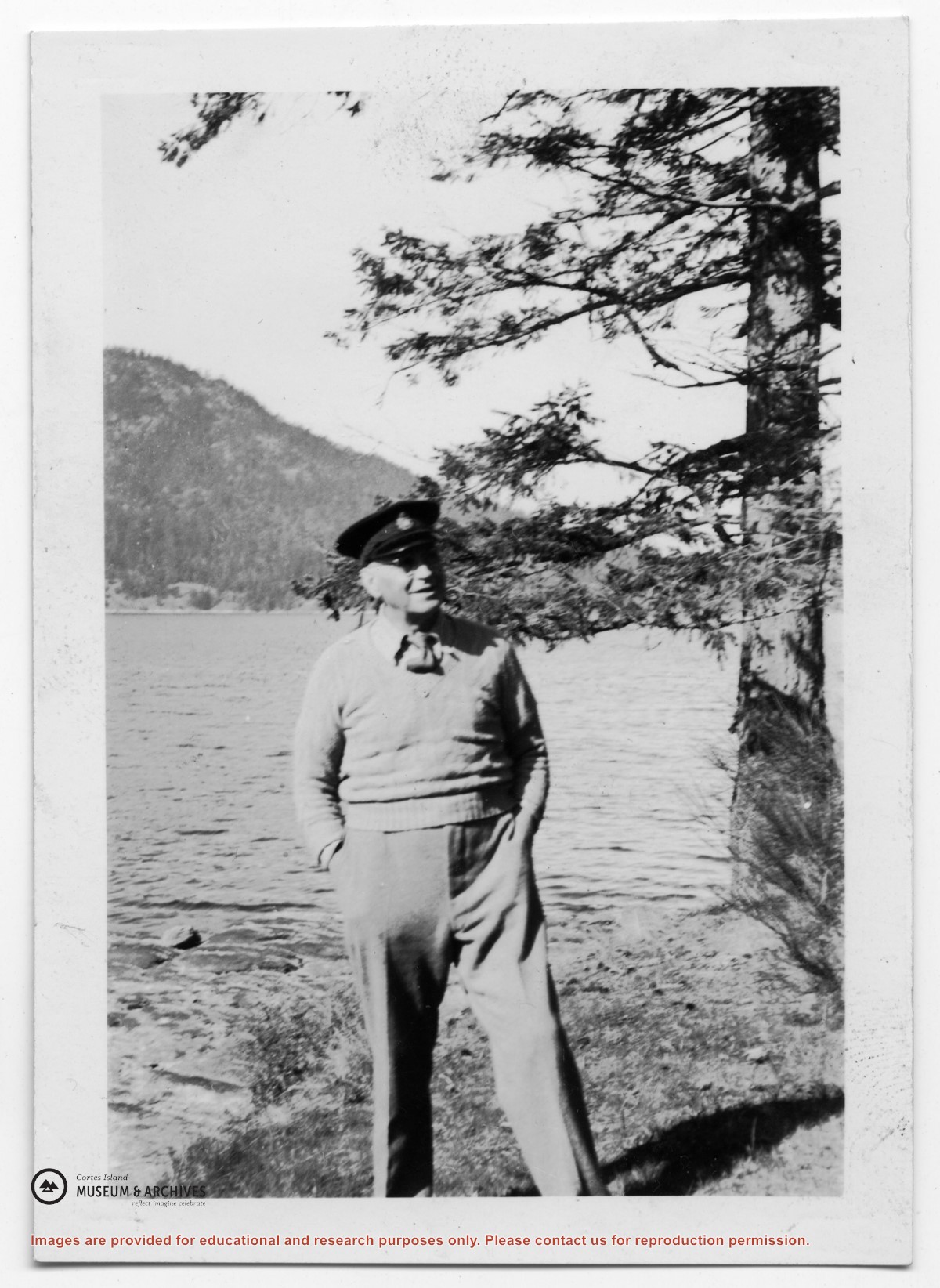
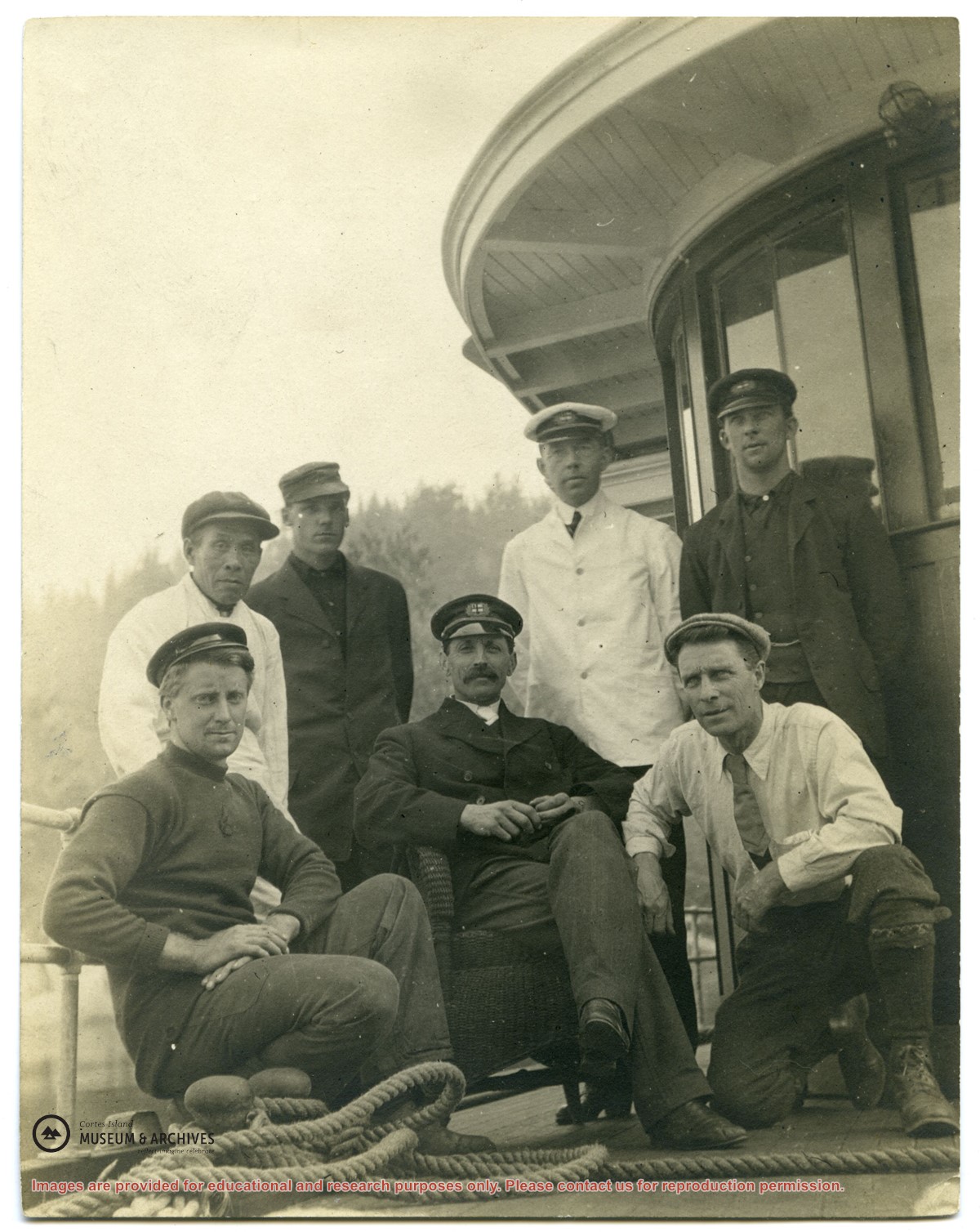
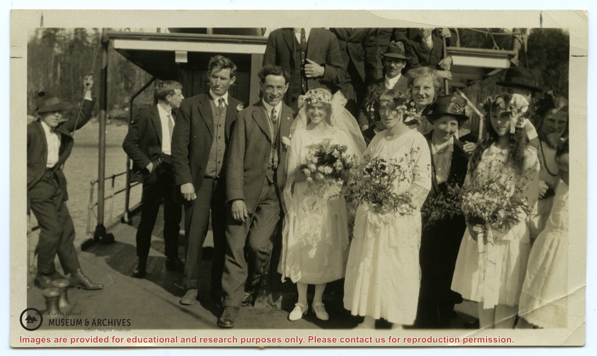
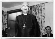
Photograph of Rev. John Antle (center) and the crew of the first "Columbia". (see "Anderson, Doris, "The Columbia Is Coming"; Gray's Publishing, 1982, photo inset)
Photograph of Rev. John Antle (center) and the crew of the first "Columbia". (see "Anderson, Doris, "The Columbia Is Coming"; Gray's Publishing, 1982, photo inset)


.jpg?width=1200&404=no-img.jpg&watermark=wmk)
.jpg?width=1200&404=no-img.jpg&watermark=wmk)
.jpg?width=1200&404=no-img.jpg&watermark=wmk)
.jpg?width=180&404=no-img.jpg)