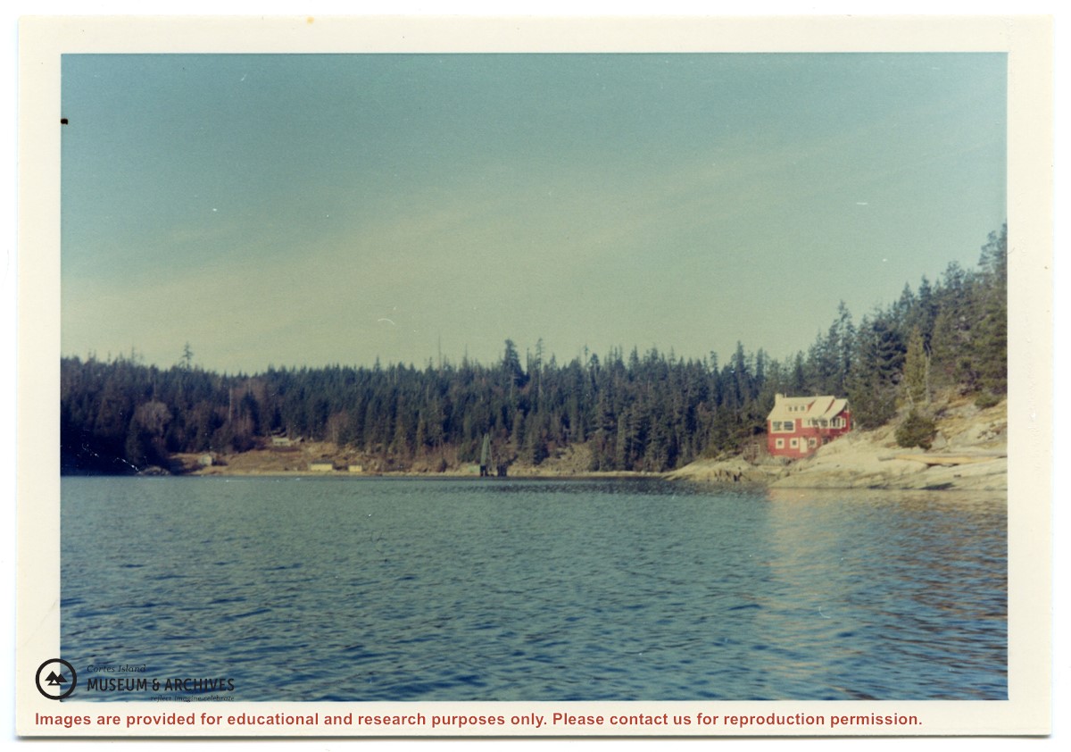
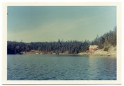
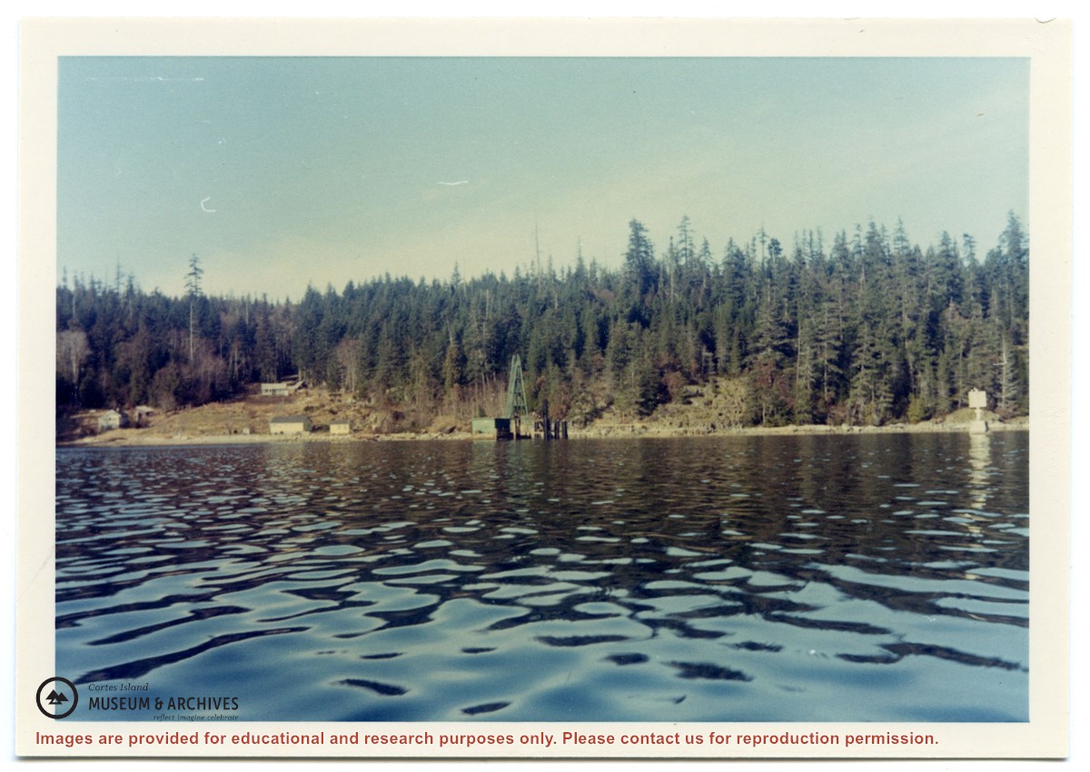
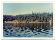
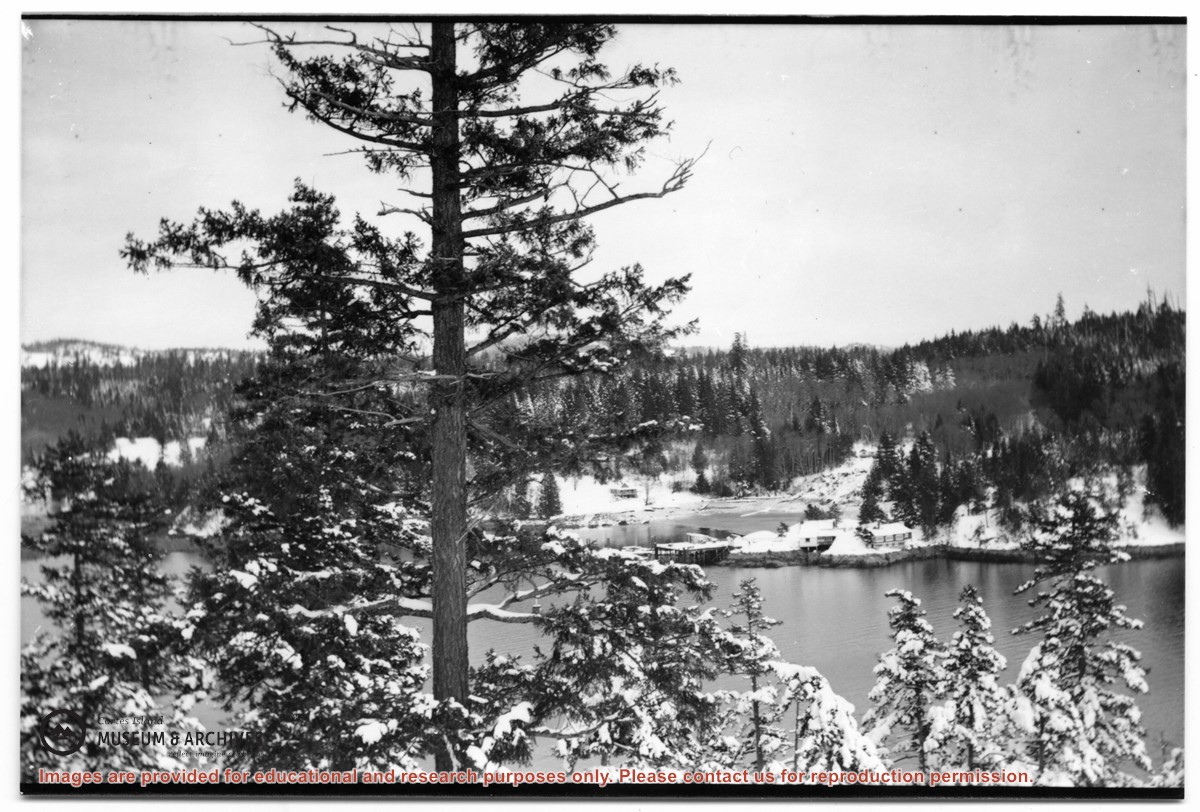
Photograph of Whaletown Bay taken from the water, showing the navigation marker at the entrance, and the houses to the left of the future site of the ferry landing.
Photograph of Whaletown Bay taken from the water, showing the navigation marker at the entrance, and the houses to the left of the future site of the ferry landing.
Photograph of Whaletown bay. A crane is behind the ferry dock, which is under construction. The pink house on the right is Otto and Mary Weiler's house.
Photograph of Whaletown bay. A crane is behind the ferry dock, which is under construction. The pink house on the right is Otto and Mary Weiler's house.
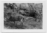
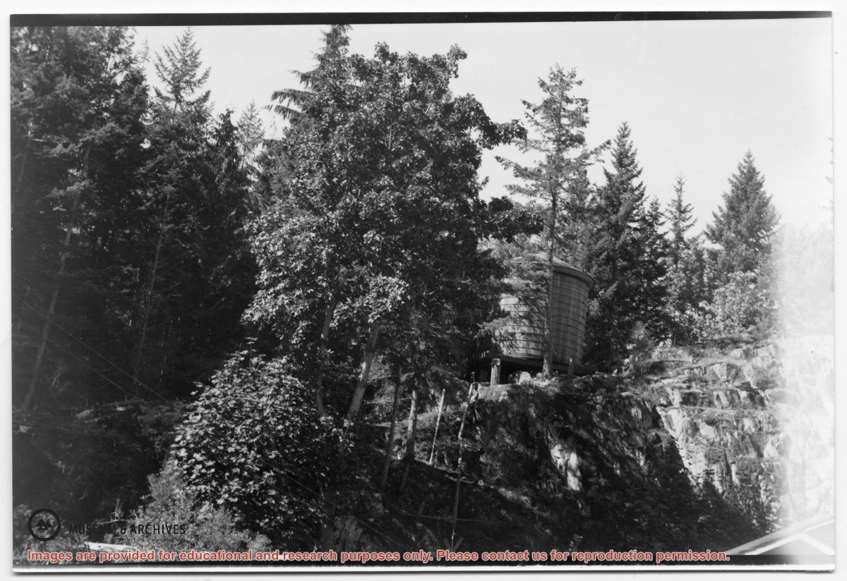
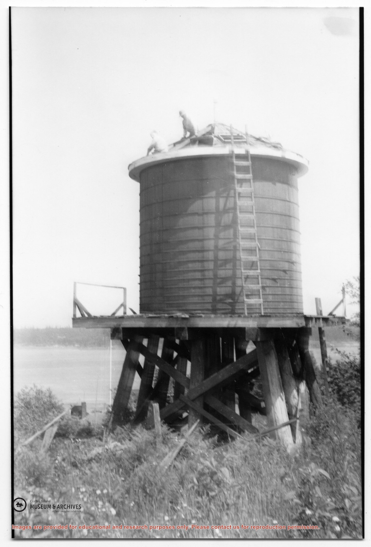
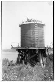
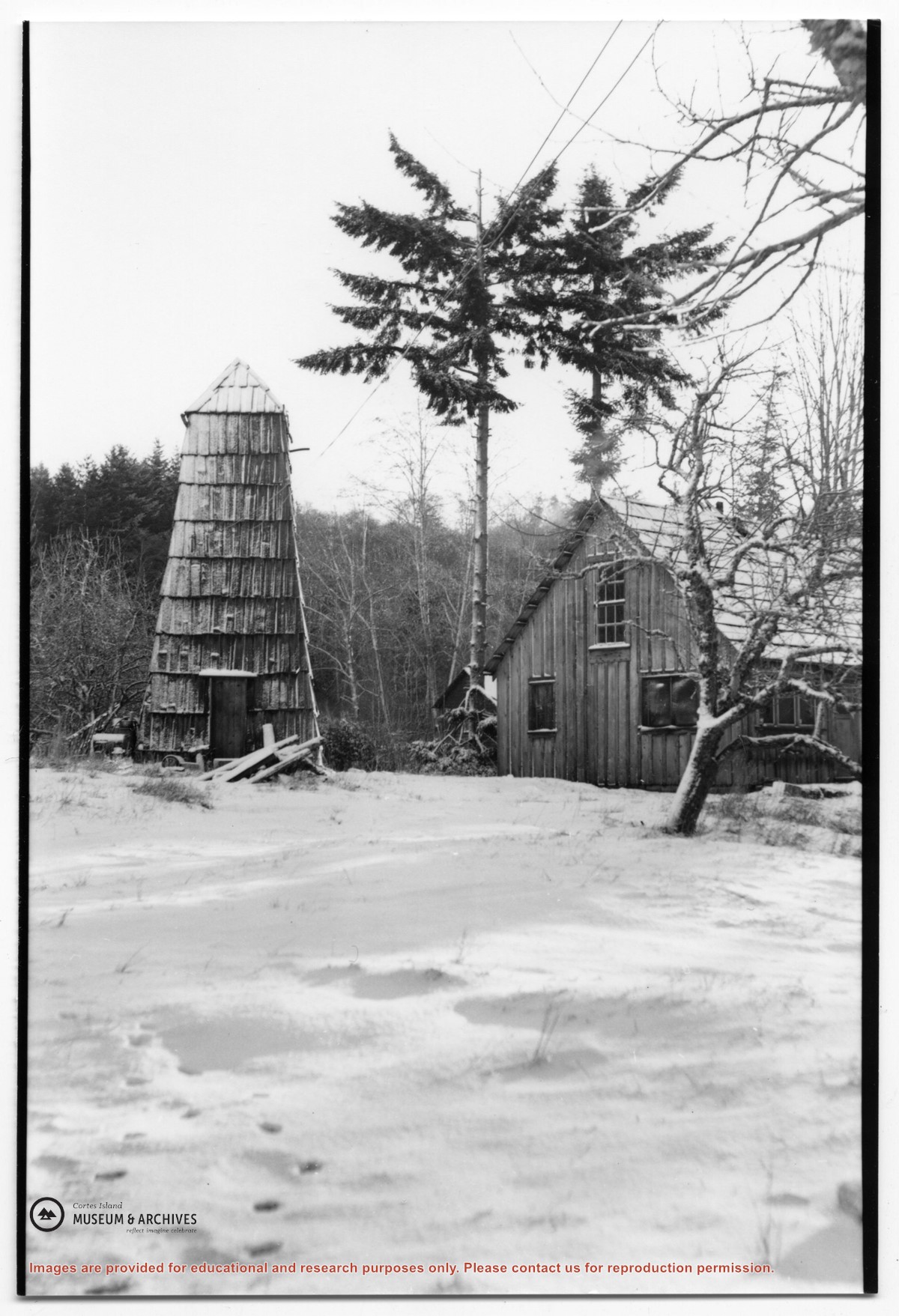
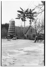
Photograph of the house beside the creek at the Robertson homestead in Whaletown, "Burnside". To the left is a tall round shingled water tower. (Same as #2003.002.471)
Photograph of the house beside the creek at the Robertson homestead in Whaletown, "Burnside". To the left is a tall round shingled water tower. (Same as #2003.002.471)
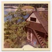
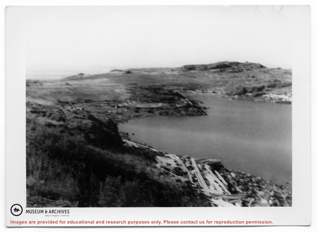
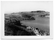
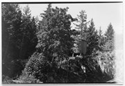
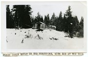
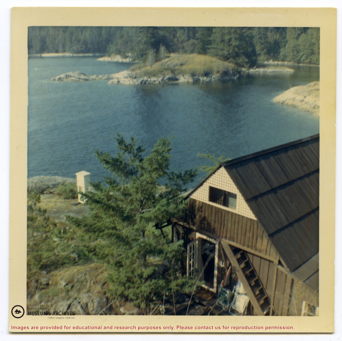
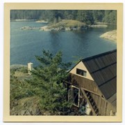
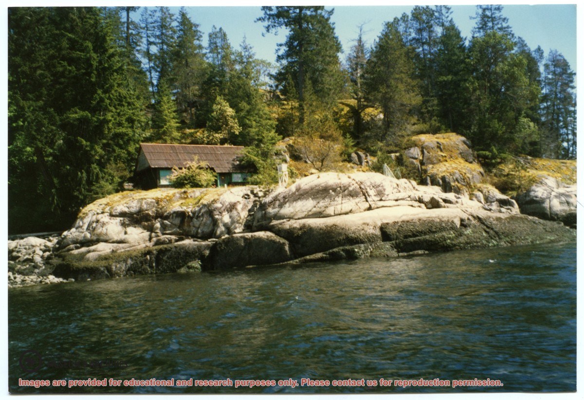
Photograph, taken from the water, of the cabin at Channel Rock, perched on its large rock with forest and bluffs behind it. Note the steps built into the rock leading down to the water just below the weather station.
Photograph, taken from the water, of the cabin at Channel Rock, perched on its large rock with forest and bluffs behind it. Note the steps built into the rock leading down to the water just below the weather station.