File consists of master pages of a fund-raising cookbook produced by the Whaletown Women's Institute. Typed recipes are pasted onto construction paper sheets; sheets are crumbling.
Complete copies of the cookbook may be found in the Whaletown Women's Institute fonds and the Island Women's Club fonds.
File contains a self-published booklet containing illustrations and notes about Whaletown, "a collection of facts, poems, short stories and drawings to enhance your visit."
File contains a self-published booklet containing illustrations and notes about Whaletown, "a collection of facts, poems, short stories and drawings to enhance your visit."
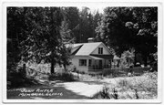
File contains postcards showing views of Whaletown.
#1: Photograph of St. John the Baptist Church, b&w, 1952; 1 copy
#2: Photograph of a Union Steamship at the Whaletown wharf; b&w; 1952; 1 copy
#3: Aerial photograph of the Salt Lagoon; b&w; likely 1952; 1 copy
#4: A drawing of the wharf and buildings of Whaletown, from the water; b&w, [195-]; 4 copies Verso says "Sketch by Canadian Artist, Mrs. R. A. Borland". Mrs. Borland was the sister of Mary Weiler, and lived in Manson's Landing.
#5: Church of St. John the Baptist; colour; 1952; 2 copies. Printed by George Frost, owner of the Whaletown General Store. See #2013.001.006
#6: The Whaletown Trading Post; colour; 2 copies. Printed by George Frost, owner of the Whaletown General Store. See #2013.001.005
File contains a map key to the areas of Sections 17, 18, 19, 22 and 34 (south of Gorge Harbour) which were researched (Information in Files 3-7).
It contains photocopies of original land grants and subsequent conveyances for the following:
Reginald James Smith: 1946, Crown Grant 165414I for fractional SE 1/4 of Sec 23, 1946 (the Thunder Road subdivision at the eastern end of Gorge Harbour).
(Files 3 through 7 are from the same envelope.)
File contains a Key Map to the sections covered in Files 17-19; a list of the sections researched and two pages of notes.
It contains photocopies of Crown Grants and subsequent title changes for the following:
Charles Allen: 1908, Crown Grant for part of NE 1/4 of Sec. 21 lying north of Gorge Harbour (property known as Bute Ranch); 46 acres for $46.00
Bernard Robinson Allen: 1919, Crown Grant for NW 1/4 of Sec. 21; 162 acres for $247.00
Charles Allen: 1905, Crown Grant for SE 1/4 of Sec. 34
(Files 17 through 19 are from the same envelope.)
File contains a key map and list for the areas researched and information on the following:
George Herbert Wailes: 1920, Crown Grant for fractional SW 1/4 of Sec. 48; 48 acres for $217; with a tax sale notice, 1939
Ina Vernon Munro: 1920, Crown Grant for NE 1/4 of Sec. 37; 161 acres; includes a sale to Hawkins and a forfeit in 1939
Allan Olmsted: 1939, Crown Grant for SW 1/4 of Sec. 37
Ira Furry: 1911, Crown Grant for W 1/2 of SE 1/4 of Sec. 33
Walter Malcolm: 1919, Crown Grant for fractional SW 1/4 of Sec. 36
Frank Leslie Tooker: 1926, Crown Grant for N 1/2 of Sec. 36, 124 acres
Ira Furry: 1897, Crown Grant for SE 1/4 of Sec 36; 160 acres for $160.00.
Donald McDonald: 1926, Crown Grant for fractional NW 1/2 of Sec. 37; 144 acres for $1.00
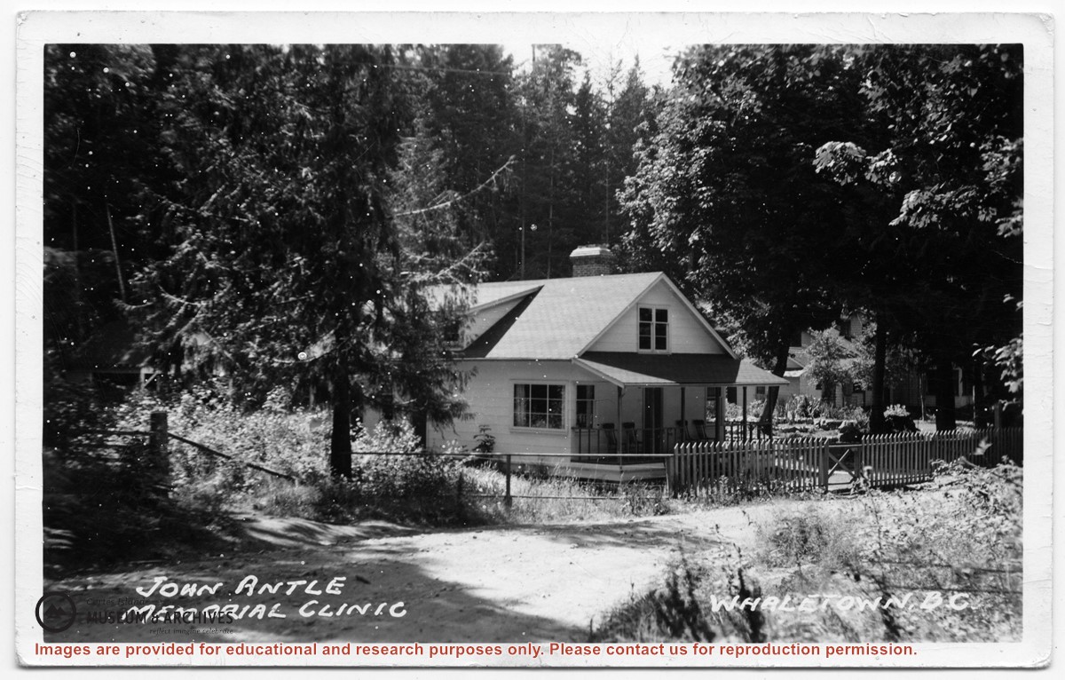
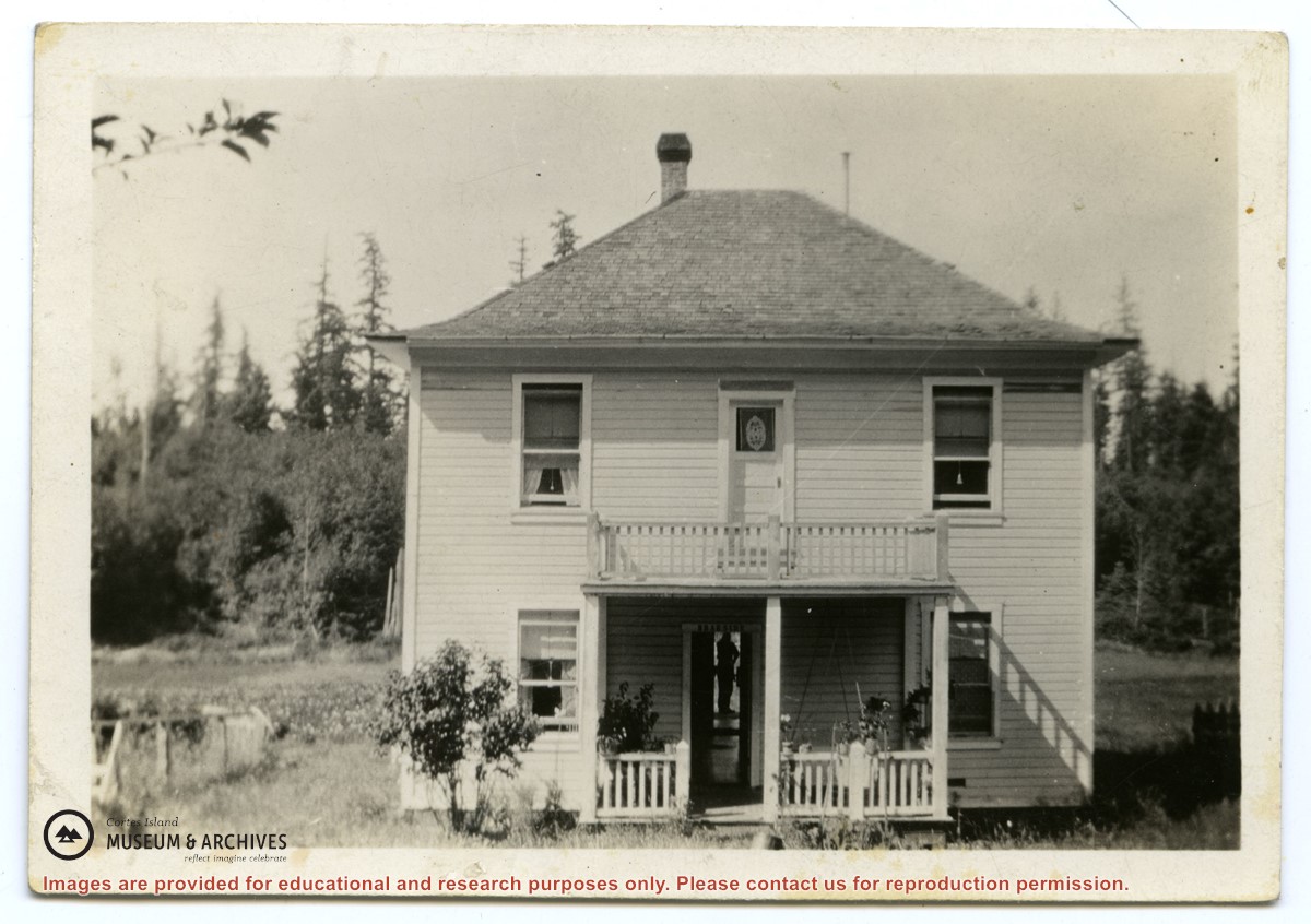
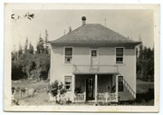
Photograph of the clinic building, with the Rectory beside it. Note the lack of telephone and electrical lines, which indicates the date is between 1950 and 1969.
Photograph of the clinic building, with the Rectory beside it. Note the lack of telephone and electrical lines, which indicates the date is between 1950 and 1969.
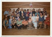
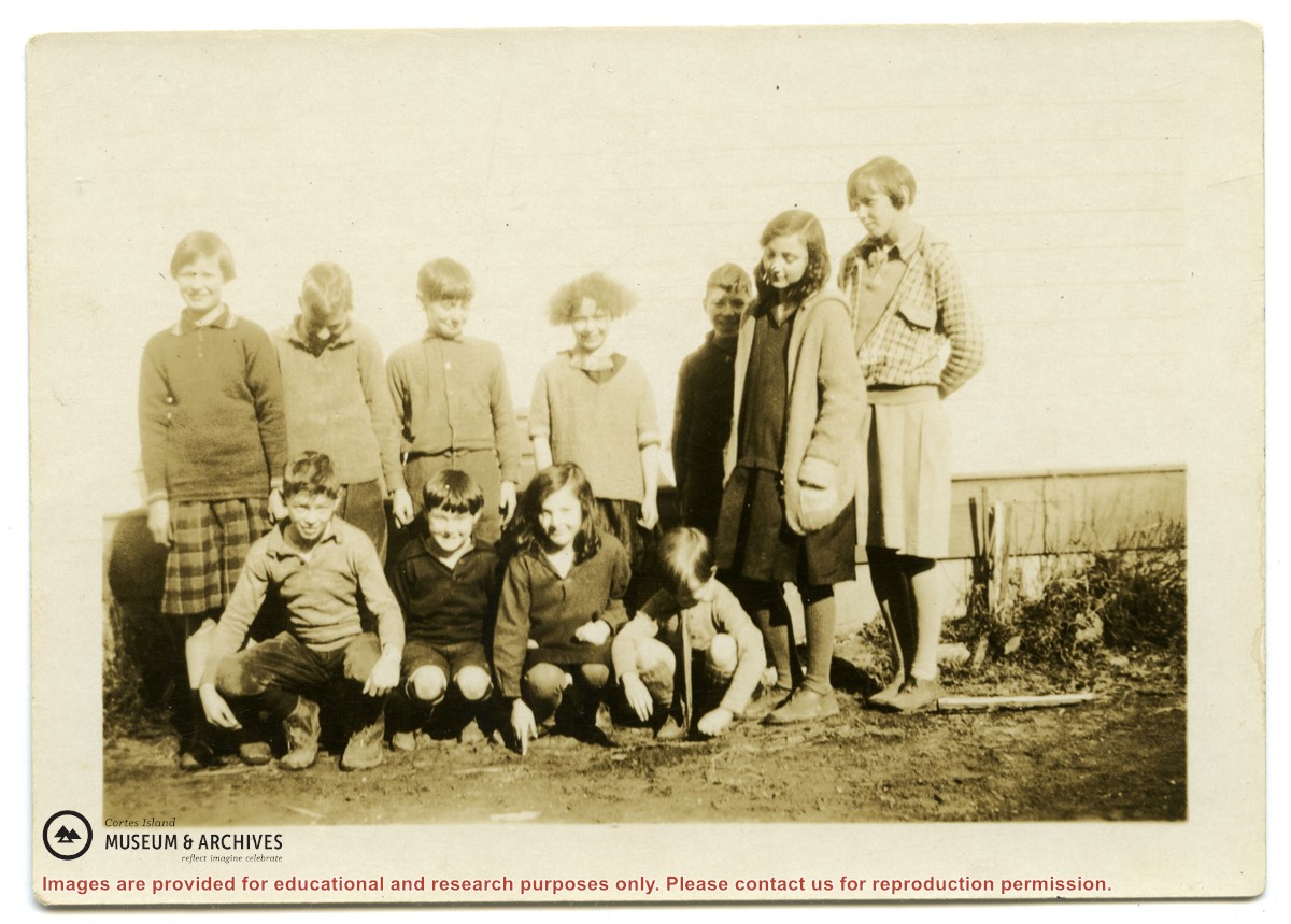
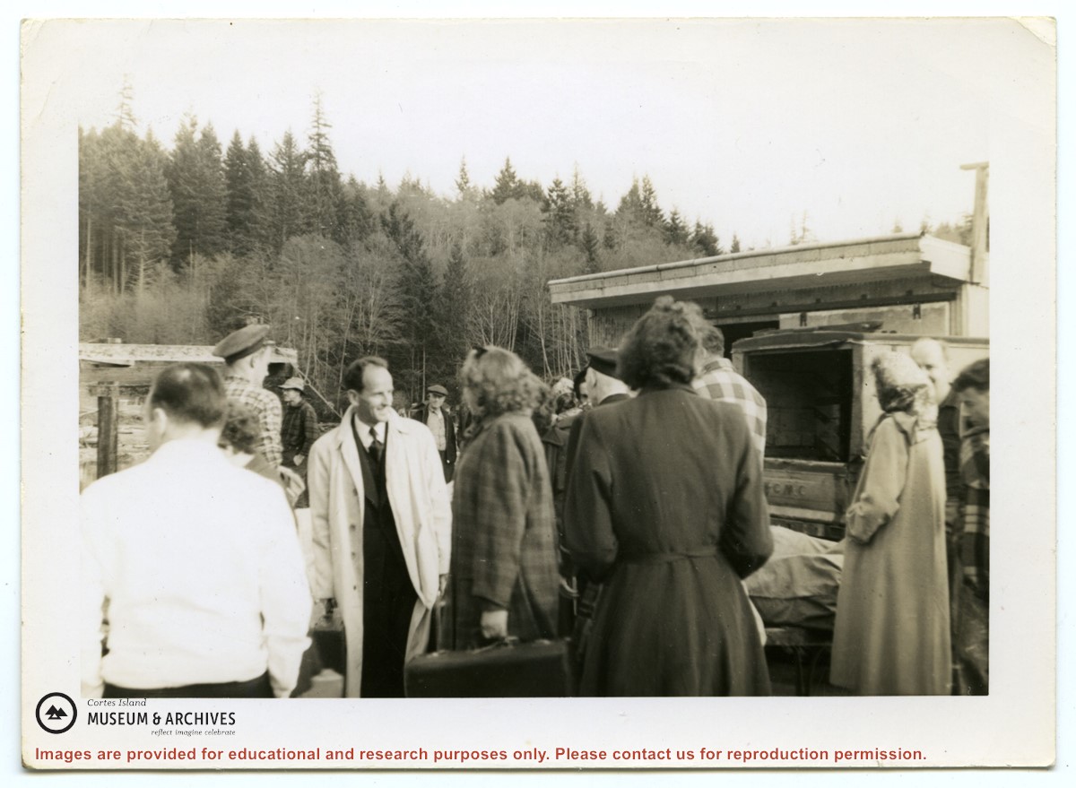
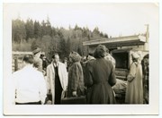
Photograph of a group of people in front of the freight shed on the Whaletown wharf. A sticker on the back indicates the photograph was originally from the collection of Gilean Douglas.
Photograph of a group of people in front of the freight shed on the Whaletown wharf. A sticker on the back indicates the photograph was originally from the collection of Gilean Douglas.