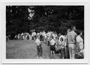
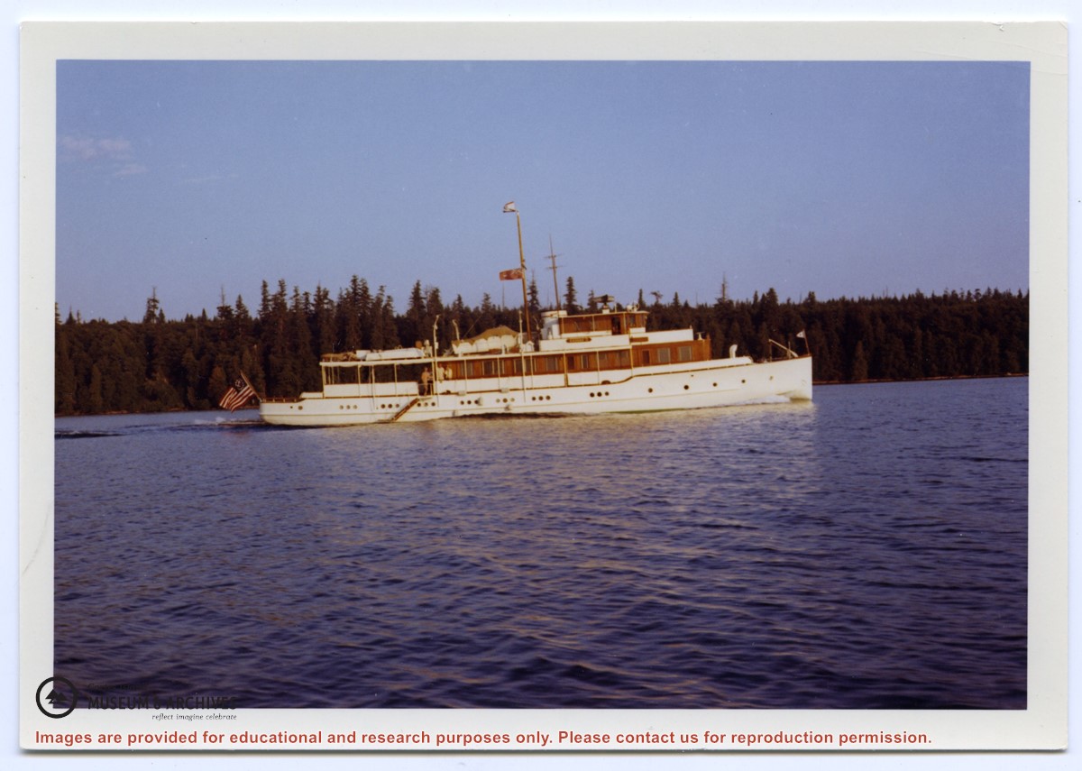
Info on: wildfire emergency preparedness; Cortes Volunteer Fire Department and Fire Fighting Association; firehalls; fire trucks; by-laws and funding initiatives concerning fire services on Cortes; helipad and expansion of FD services to handle medical emergencies; fire protection equipement at Klahoose FN; fundraising; and posts relating to local fires and fire fighting responses, 1987-2016
Info on: wildfire emergency preparedness; Cortes Volunteer Fire Department and Fire Fighting Association; firehalls; fire trucks; by-laws and funding initiatives concerning fire services on Cortes; helipad and expansion of FD services to handle medical emergencies; fire protection equipement at Klahoose FN; fundraising; and posts relating to local fires and fire fighting responses, 1987-2016
Sub-series consists of typed copies of the "Whaletown Round-up", Douglas's column about social and community events on Cortes Island (primarily focused on the Whaletown area) which was published in the Campbell River Courier.
Sub-series consists of typed copies of the "Whaletown Round-up", Douglas's column about social and community events on Cortes Island (primarily focused on the Whaletown area) which was published in the Campbell River Courier.
Map of the British Empire, drawn by Eric Dinickel for publication in the June, 1953 issue of Maclean’s (the month of the coronation of Queen Elizabeth II). Printed in full colour.
Map of the British Empire, drawn by Eric Dinickel for publication in the June, 1953 issue of Maclean’s (the month of the coronation of Queen Elizabeth II). Printed in full colour.
Coloured map of southwestern BC showing municipalities, geographical features, land and sea routes, natural resources, etc. The back of the map is fully printed with information about BC and suggested travel itineraries.
Map needs preservation: edges are frayed and there are several tears.
Coloured map of southwestern BC showing municipalities, geographical features, land and sea routes, natural resources, etc. The back of the map is fully printed with information about BC and suggested travel itineraries.
Map needs preservation: edges are frayed and there are several tears.