Map of the British Empire, drawn by Eric Dinickel for publication in the June, 1953 issue of Maclean’s (the month of the coronation of Queen Elizabeth II). Printed in full colour.
Map of the British Empire, drawn by Eric Dinickel for publication in the June, 1953 issue of Maclean’s (the month of the coronation of Queen Elizabeth II). Printed in full colour.
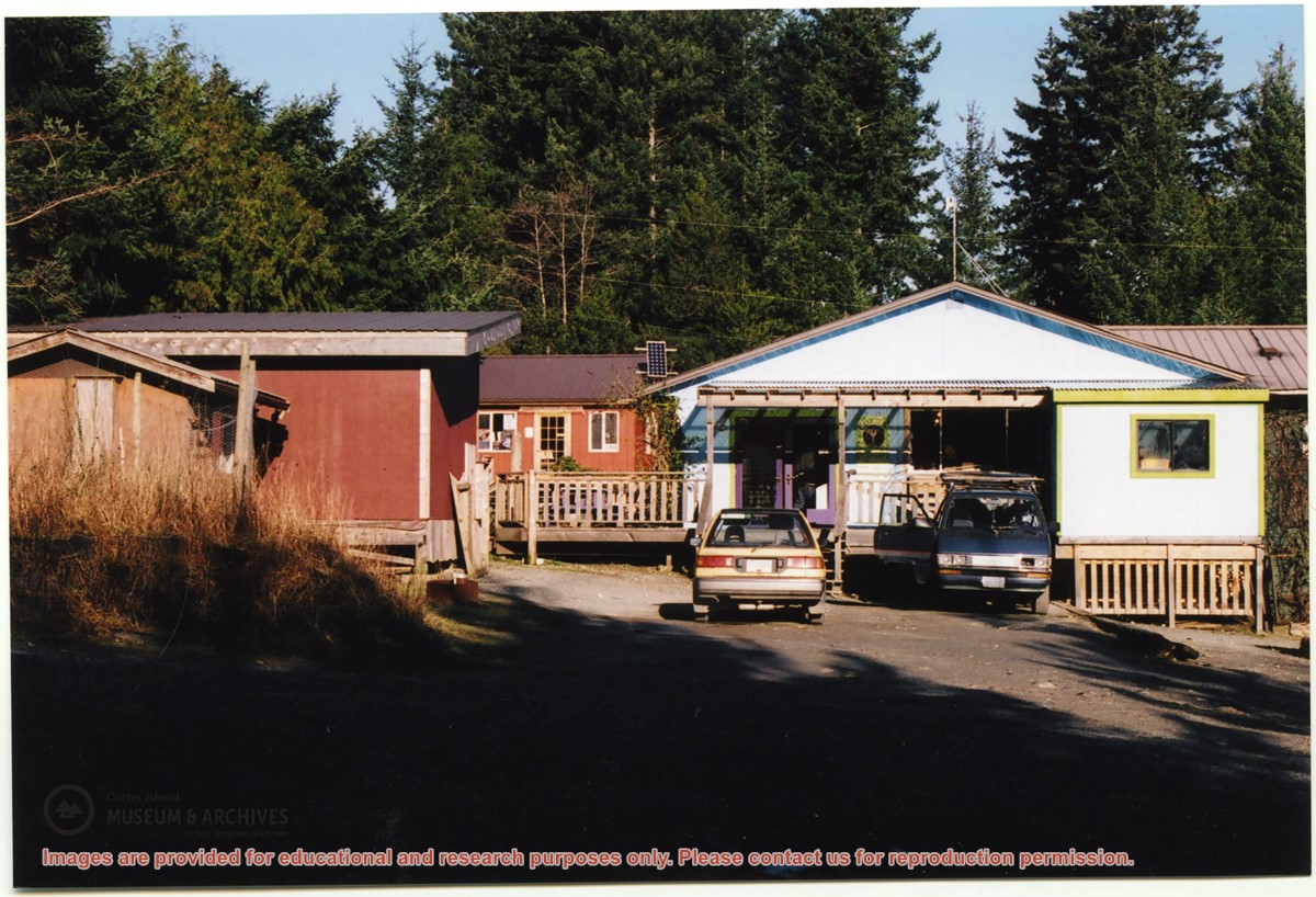
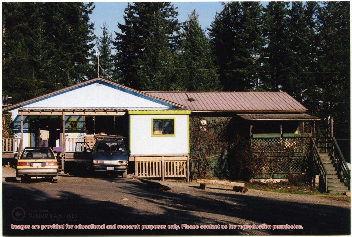
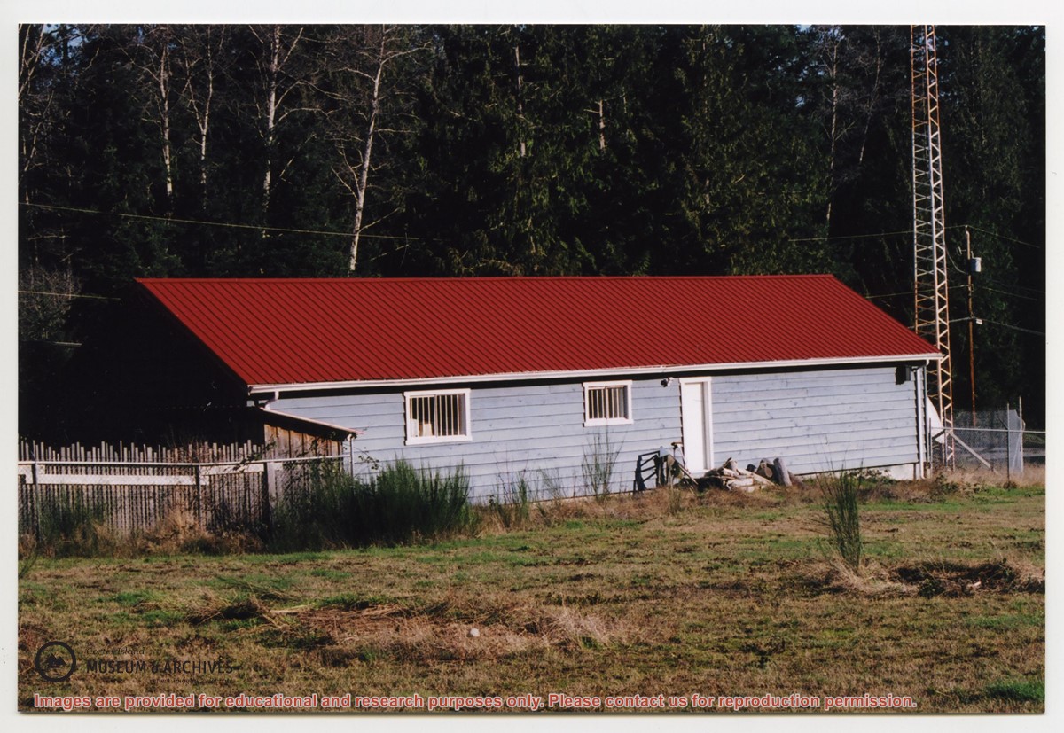
Photograph of the Co-op building with the Skateboard Shop at left, Books and Homespun Wool Shop beyond; the Sunset Restaurant is behind it in the same building.
Photograph of the Co-op building with the Skateboard Shop at left, Books and Homespun Wool Shop beyond; the Sunset Restaurant is behind it in the same building.