File contains a Key Map to the sections covered in Files 17-19; a list of the sections researched and two pages of notes.
It contains photocopies of Crown Grants and subsequent title changes for the following:
Charles Allen: 1908, Crown Grant for part of NE 1/4 of Sec. 21 lying north of Gorge Harbour (property known as Bute Ranch); 46 acres for $46.00
Bernard Robinson Allen: 1919, Crown Grant for NW 1/4 of Sec. 21; 162 acres for $247.00
Charles Allen: 1905, Crown Grant for SE 1/4 of Sec. 34
(Files 17 through 19 are from the same envelope.)
File contains information for the following properties:
Frederick James Smith: 1921, Crown Grant for SE 1/4 of Sec. 33; 160 acres for $1.00
Charles Allen: 1912, Crown Grant for SW 1/4 of Sec. 33; 160 acres for $160.
George Robson: 1907, Crown Grant for NW 1/4 of Sec. 21; $247.00 for 142 acres.
(Files 17 through 19 are from the same envelope.)
File contains a section map showing properties southeast of Gorge Harbour and title information on the property, later owned by Gilean Douglas, and known as Channel Rock.
To John Pool: 1930, Crown Grant of the W 1/2 of the SE 1/4 of Sec. 21 and fractional SW 1/4 of Sec. 21 and Crown Grant fo the fractional E 1/2 of fractional SE 1/4 of Sec. 21
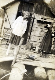
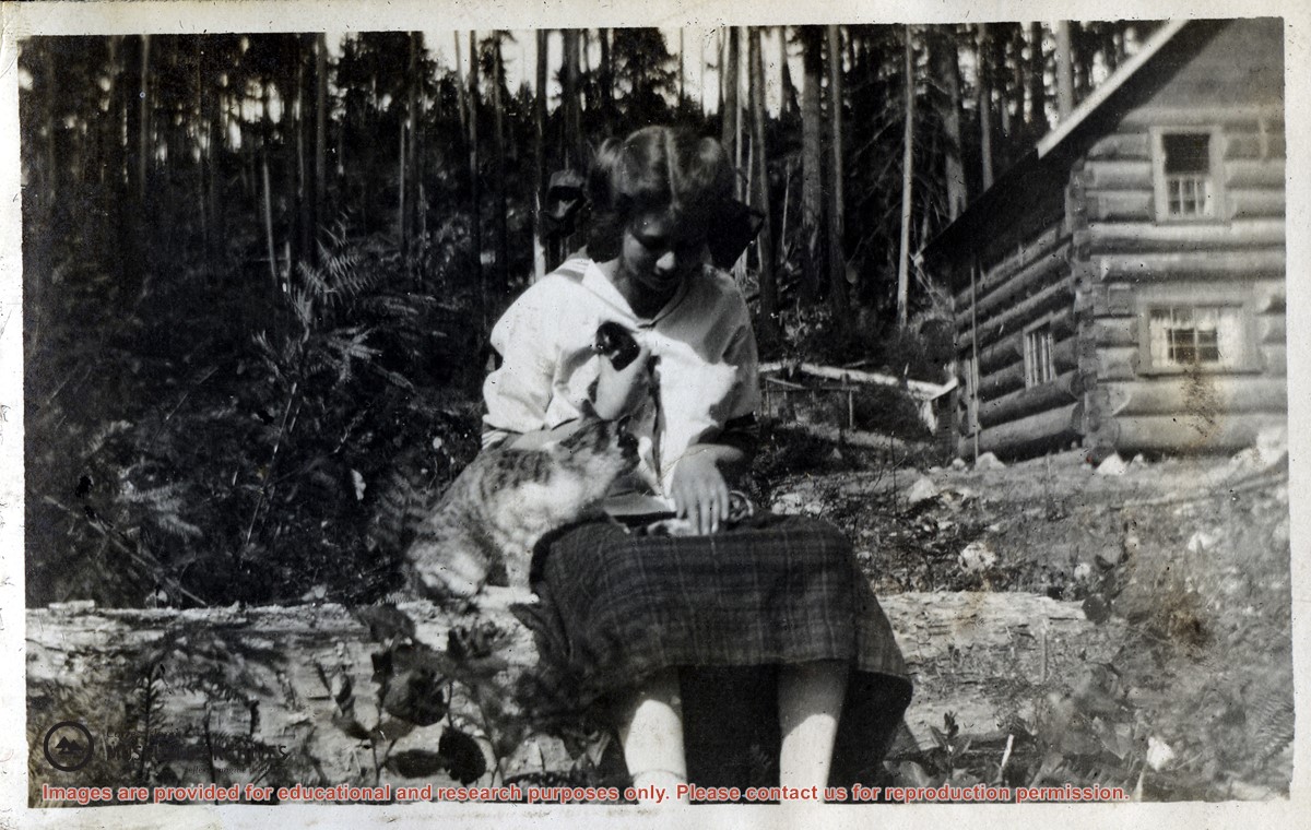
Photograph of Dorothy Huck seated on a log holding a tiny kitten with mama cat beside her. The two-story log Huck house at Hell's Half Acre is in the background.
Photograph of Dorothy Huck seated on a log holding a tiny kitten with mama cat beside her. The two-story log Huck house at Hell's Half Acre is in the background.
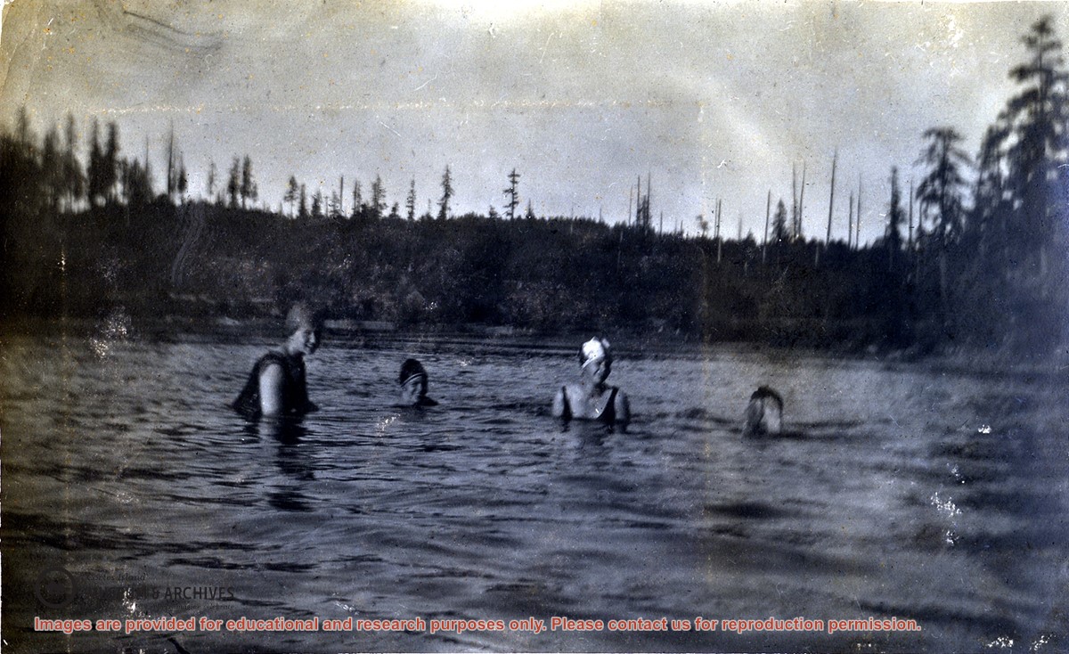
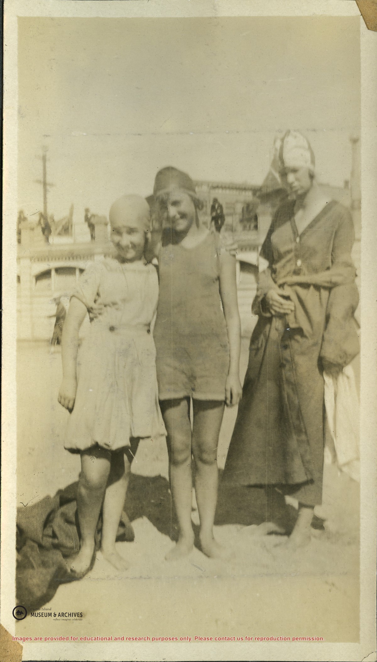
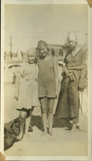
Meg Robertson, Margaret Middleton,and Dorothy Huck, all wearing bathing suits and caps in the lagoon beside the Robertson's home at Burnside in Whaletown. Rankin Robertson's feet are sticking up out of the water at the right.
Meg Robertson, Margaret Middleton,and Dorothy Huck, all wearing bathing suits and caps in the lagoon beside the Robertson's home at Burnside in Whaletown. Rankin Robertson's feet are sticking up out of the water at the right.