File contains a copy of the bylaw and map of 1995, a summary of the changes (meant to reconcile 25 year gap between the previous zoning bylaws and the current OCP), and a completion and adoption strategy.
File contains a copy of the bylaw and map of 1995, a summary of the changes (meant to reconcile 25 year gap between the previous zoning bylaws and the current OCP), and a completion and adoption strategy.
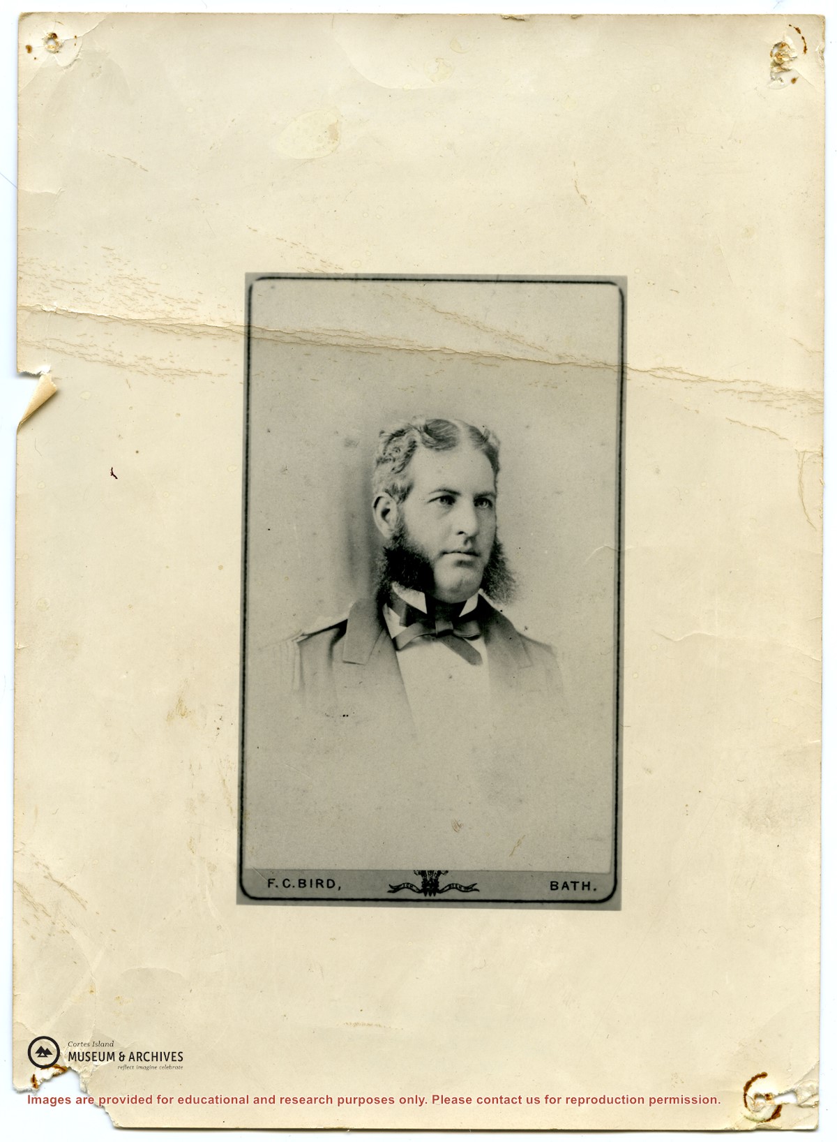
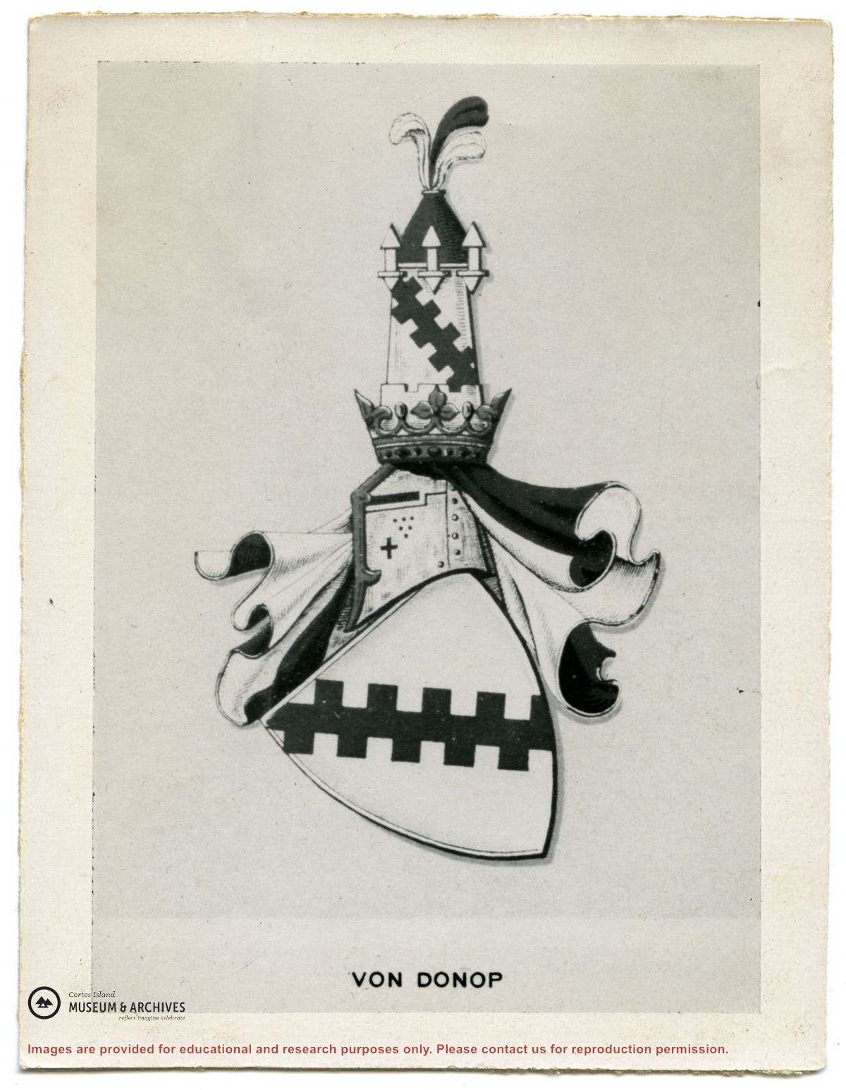
Series consists of correspondence from Theodore Von Donop to Jimmy Layton and information, photographs and ephemera relating to Victor Von Donop, after whom Von Donop Inlet was named. The two photographs that were part of this material (2003.002.393-Portrait of Victor Von Donop and 2003.002.394-Coat of arms of Von Donop family) are described in Series 1 and stored in the Photographs box with the other photographs in the Weiler fonds.)
Material was collected by Jimmy Layton, who had a homestead at the head of Von Donop Inlet; he gave it to Otto Weiler.
Scope and Content
Series consists of correspondence from Theodore Von Donop to Jimmy Layton and information, photographs and ephemera relating to Victor Von Donop, after whom Von Donop Inlet was named. The two photographs that were part of this material (2003.002.393-Portrait of Victor Von Donop and 2003.002.394-Coat of arms of Von Donop family) are described in Series 1 and stored in the Photographs box with the other photographs in the Weiler fonds.)
File contains title information to 1991 and a photocopy of the original Crown Grant to:
Nicholas Thompson: 1920, Crown Grant of Fractional SW 1/4 of Section 35; 54 acres on the southwest of Whaletown Bay
File contains a small explanatory map if a 5.5 acre portion of fractional SW 1/4 of Sec. 35, 1949, and a Subdivision Plan map of part of fractional SW 1/4 of Sec. 35, 1957 (stored in the Map Cabinet).
(Files 9 and 10 are from the same envelope.)
File contains photocopies of the original Crown Grants and subsequent title changes with plan maps.
To Moses Ireland: 1893, Crown Grant for the W 1/2 of the SW 1/4 of Section 35 and the fractional SE 1/4 of Section 35 (161 acres around Whaletown Bay
To George Alderson: 1961, Crown Grant for Lot 3 of Section 34