Coloured map of southwestern BC showing municipalities, geographical features, land and sea routes, natural resources, etc. The back of the map is fully printed with information about BC and suggested travel itineraries.
Map needs preservation: edges are frayed and there are several tears.
Coloured map of southwestern BC showing municipalities, geographical features, land and sea routes, natural resources, etc. The back of the map is fully printed with information about BC and suggested travel itineraries.
Map needs preservation: edges are frayed and there are several tears.
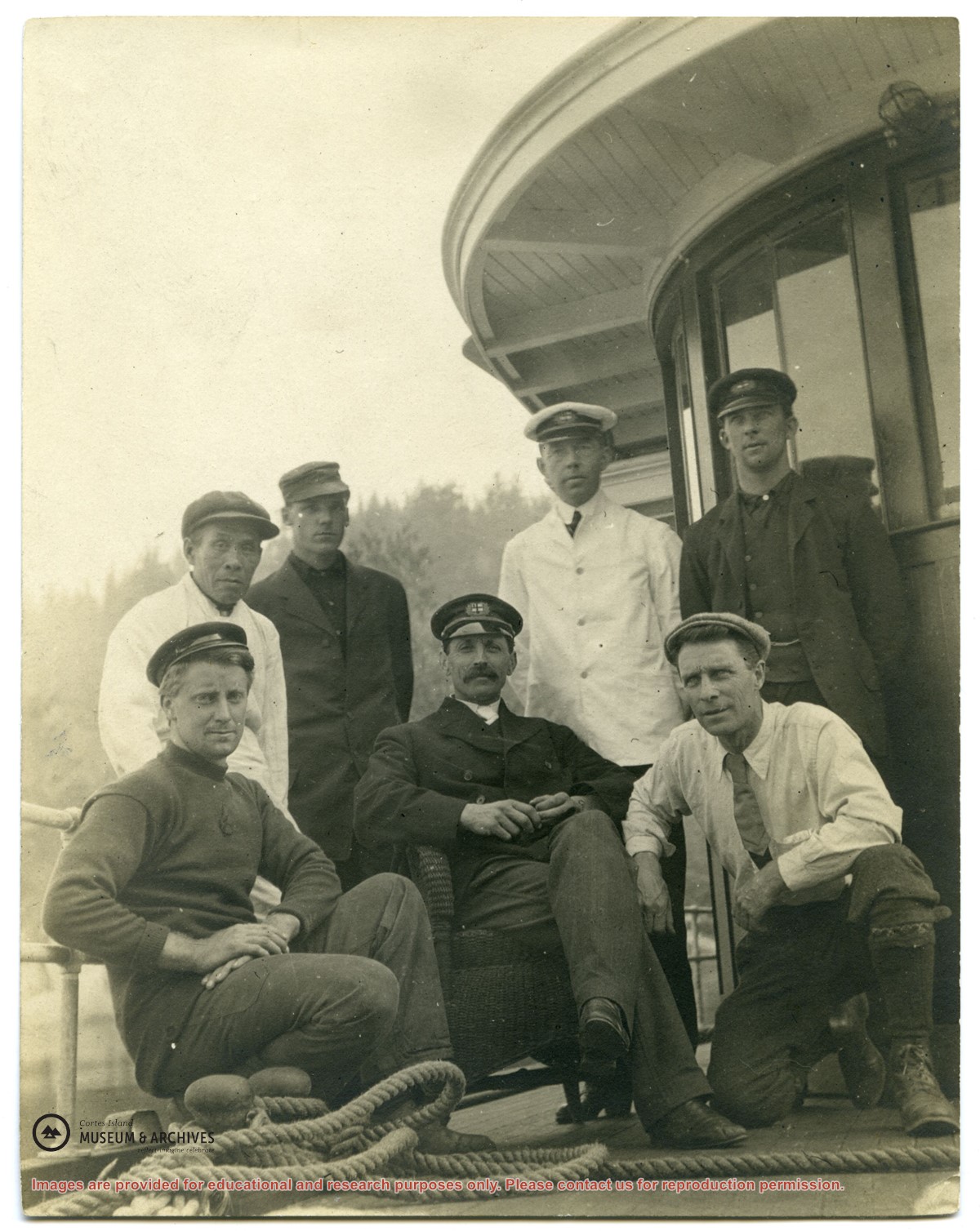
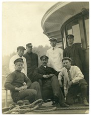
Photograph of Rev. John Antle (center) and the crew of the first "Columbia". (see "Anderson, Doris, "The Columbia Is Coming"; Gray's Publishing, 1982, photo inset)
Photograph of Rev. John Antle (center) and the crew of the first "Columbia". (see "Anderson, Doris, "The Columbia Is Coming"; Gray's Publishing, 1982, photo inset)
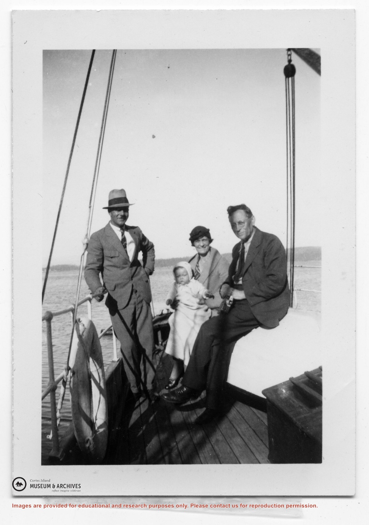
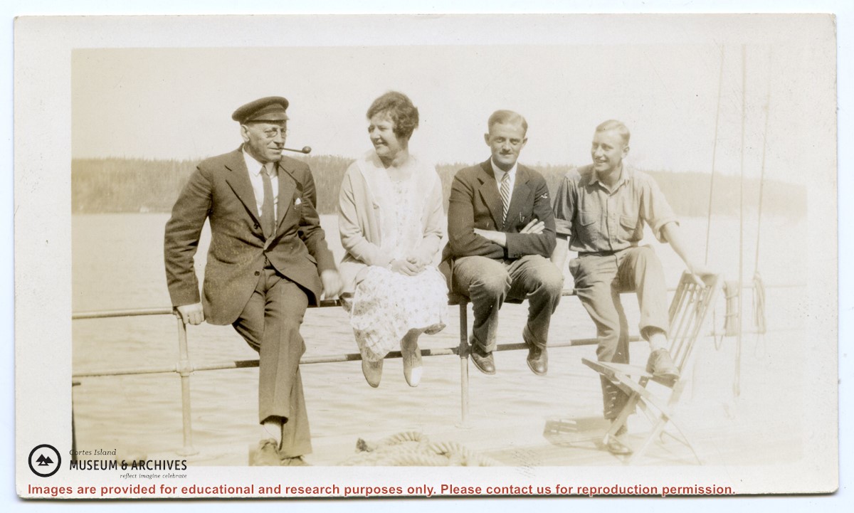
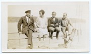
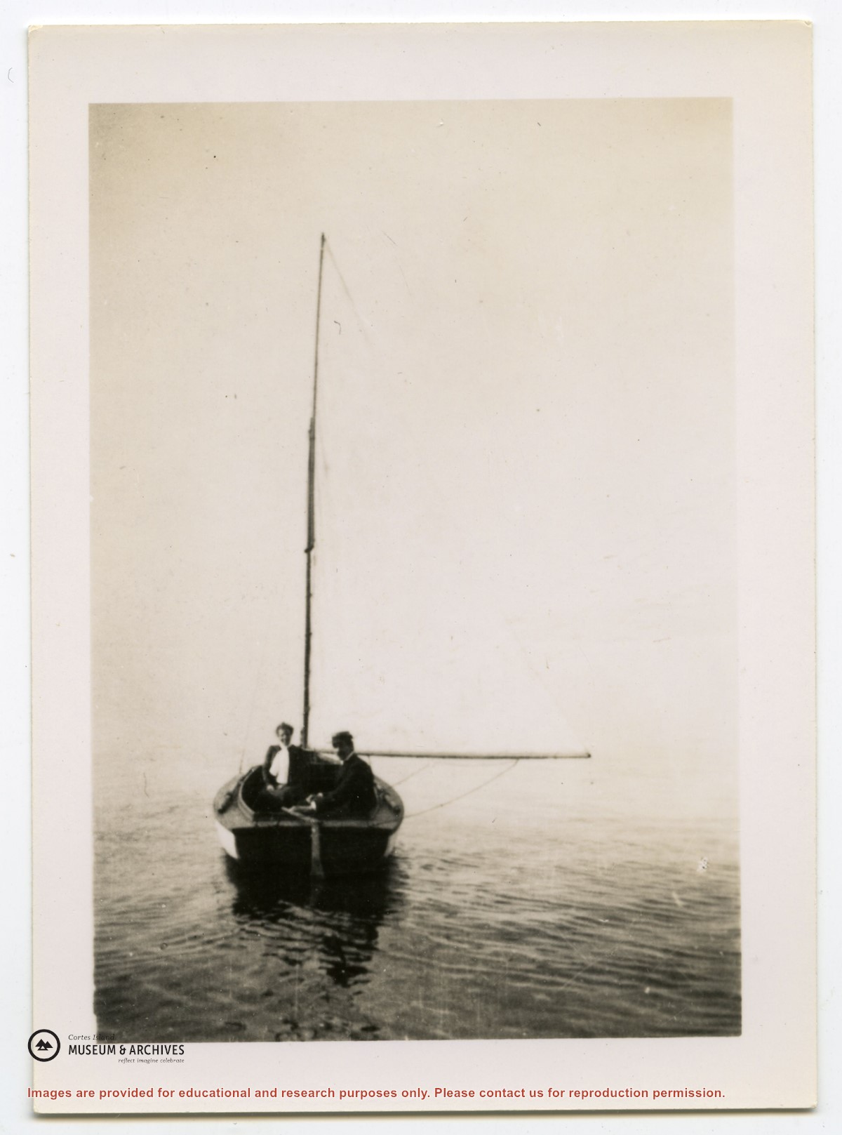
Photograph of Dr. and Mrs. John Antle in the "Laverock", with the sail up. (see "Anderson, Doris, "The Columbia Is Coming"; Gray's Publishing, 1982, photo inset)
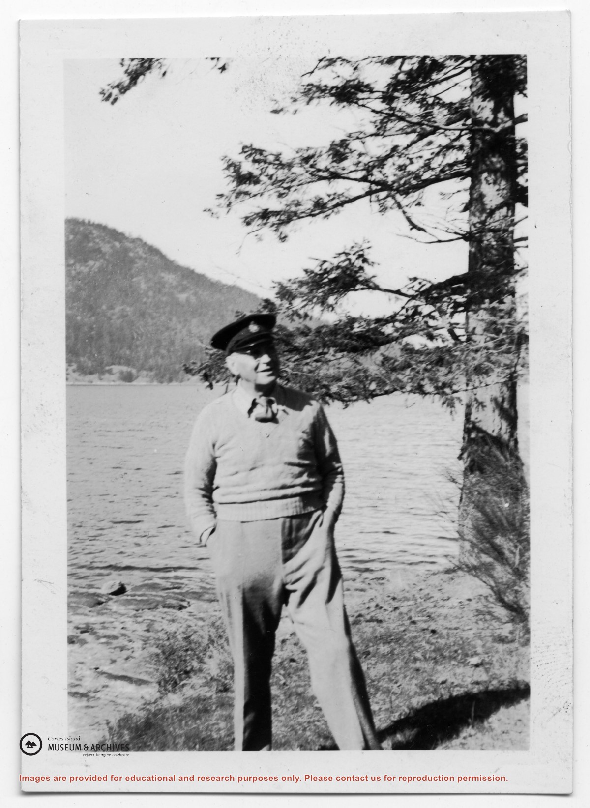
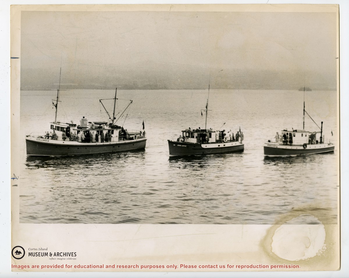
3 photograph prints: b&w; 15 x 10 cm and 6.5 x 9 cm
Scope and Content
Photograph of Dr. and Mrs. John Antle in the "Laverock", with the sail up. (see "Anderson, Doris, "The Columbia Is Coming"; Gray's Publishing, 1982, photo inset)
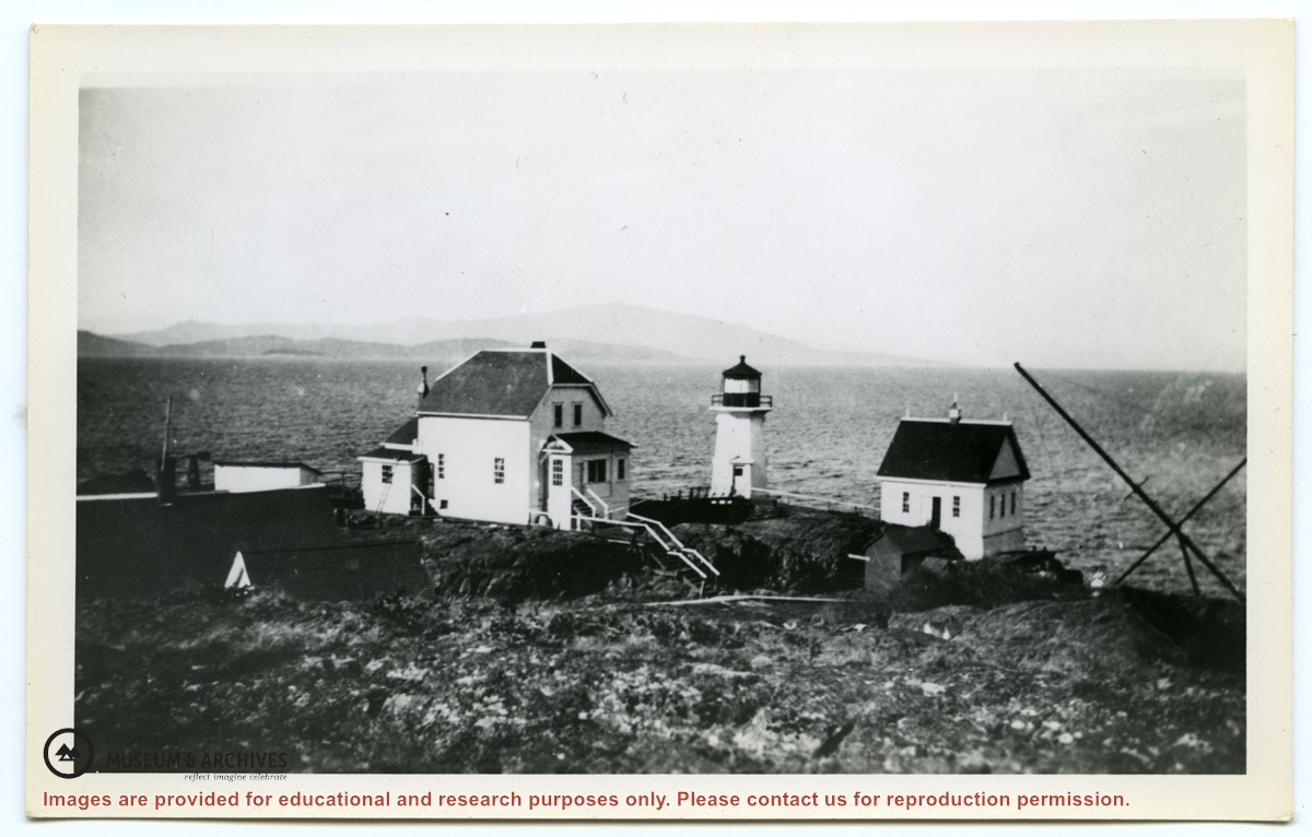
Photograph of the three buildings of a lighthouse station on the "John Antle" patrol, including the lighthouse. (see "Anderson, Doris, "The Columbia Is Coming"; Gray's Publishing, 1982, photo inset)
Photograph of the three buildings of a lighthouse station on the "John Antle" patrol, including the lighthouse. (see "Anderson, Doris, "The Columbia Is Coming"; Gray's Publishing, 1982, photo inset)