Coloured map of southwestern BC showing municipalities, geographical features, land and sea routes, natural resources, etc. The back of the map is fully printed with information about BC and suggested travel itineraries.
Map needs preservation: edges are frayed and there are several tears.
Coloured map of southwestern BC showing municipalities, geographical features, land and sea routes, natural resources, etc. The back of the map is fully printed with information about BC and suggested travel itineraries.
Map needs preservation: edges are frayed and there are several tears.
Series contains information on historic Crown Grants and subsequent title changes compiled by Doreen Thompson during her research for the CIMAS Windows on Whaletown exhibit in 1999. The area covered includes the northern part of Cortes Island, from just south of Gorge Harbour. Material includes maps, photocopies of original Crown Grants and other title documents, lists of subdivisions, and notes on changes of title.
Records were organized by Section or Plan number in large envelopes with a cover map and notes about the properties researched on the envelope back. They trace the ownership of parcels of land from the first grant or purchase from the Crown to 1999. Original order has been maintained.
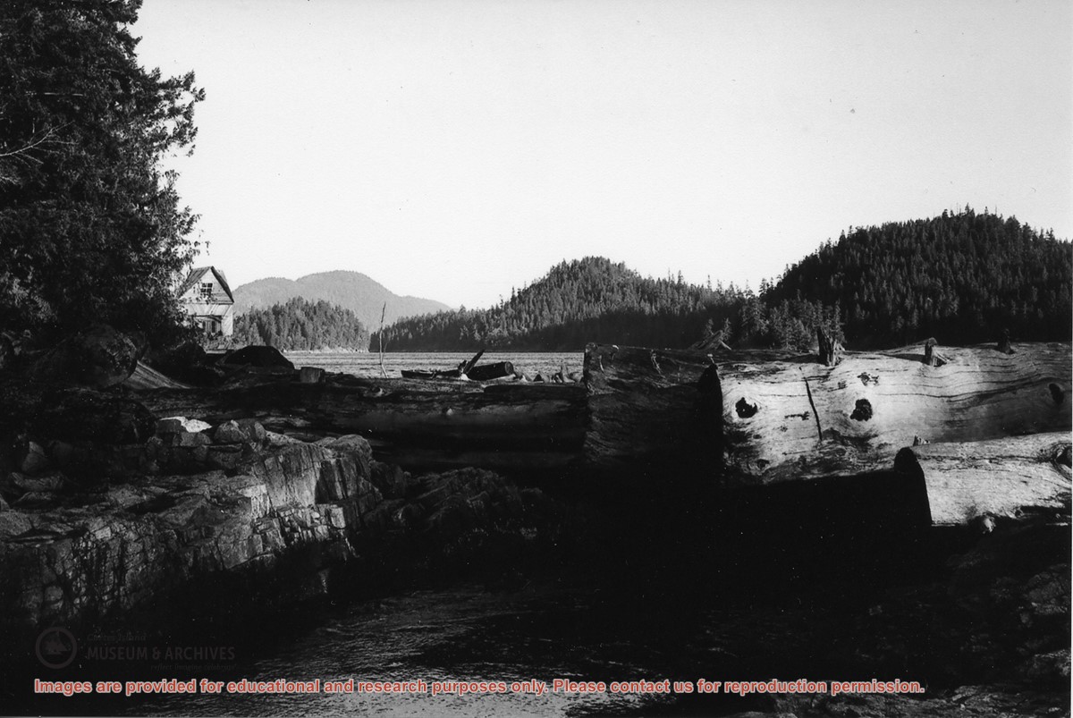
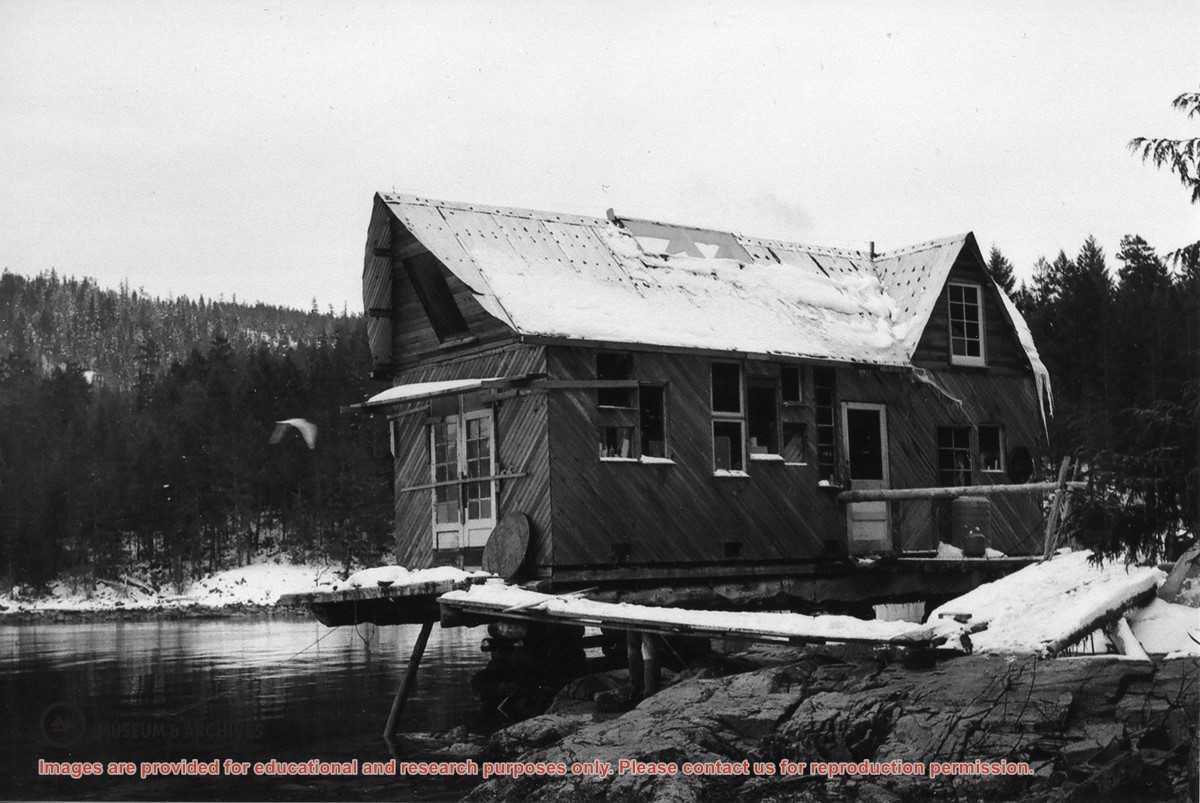
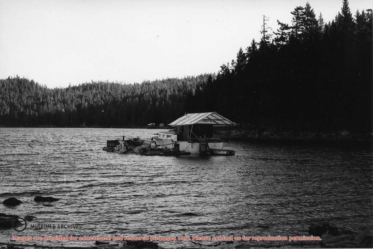
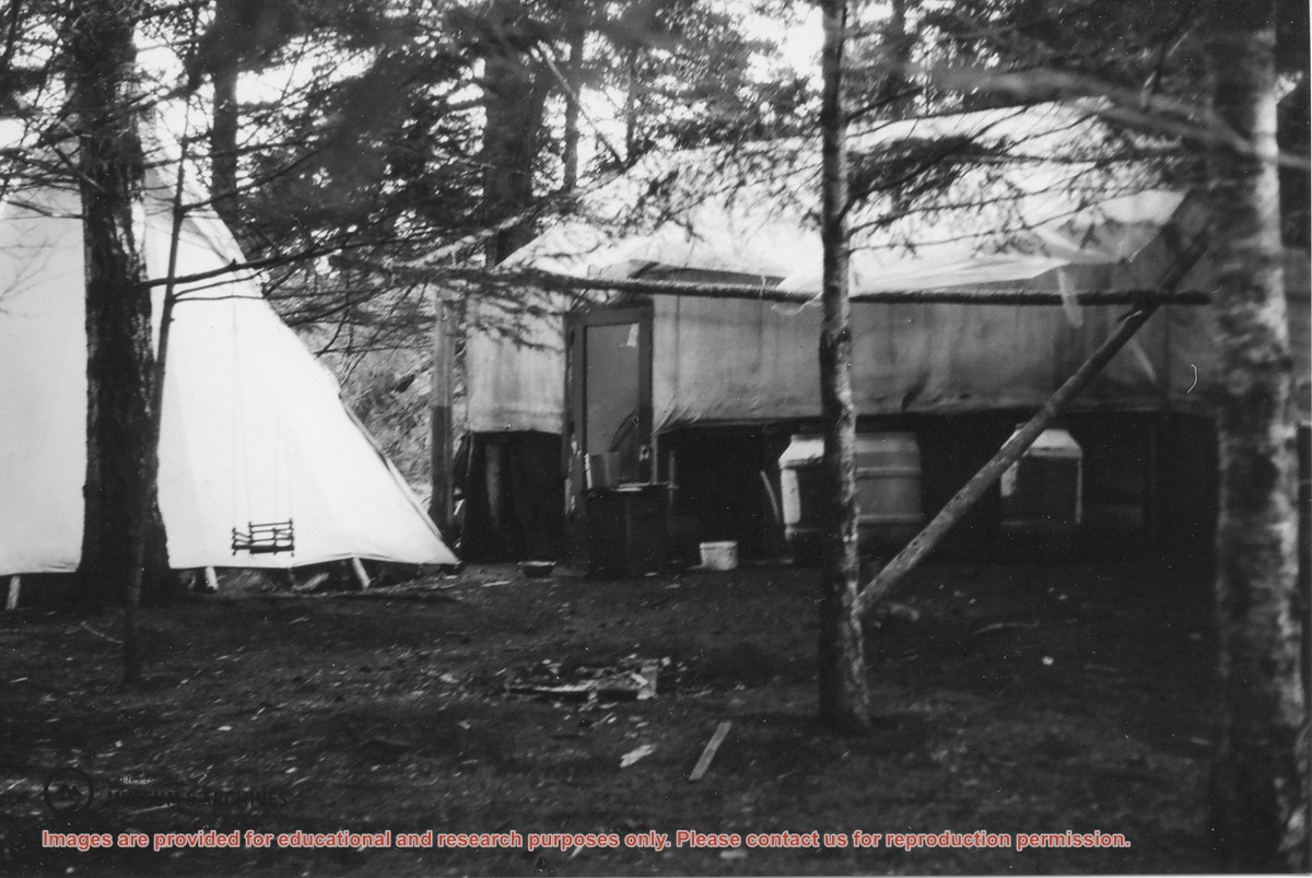
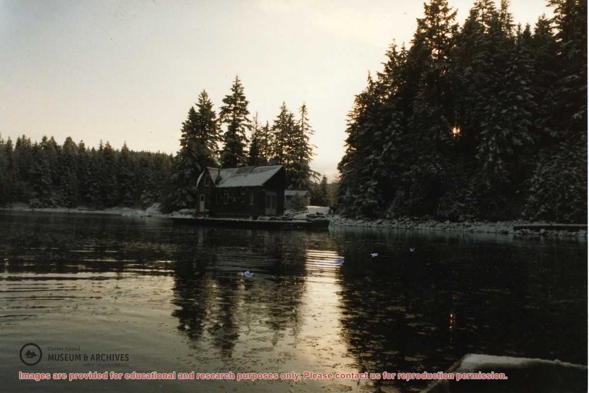
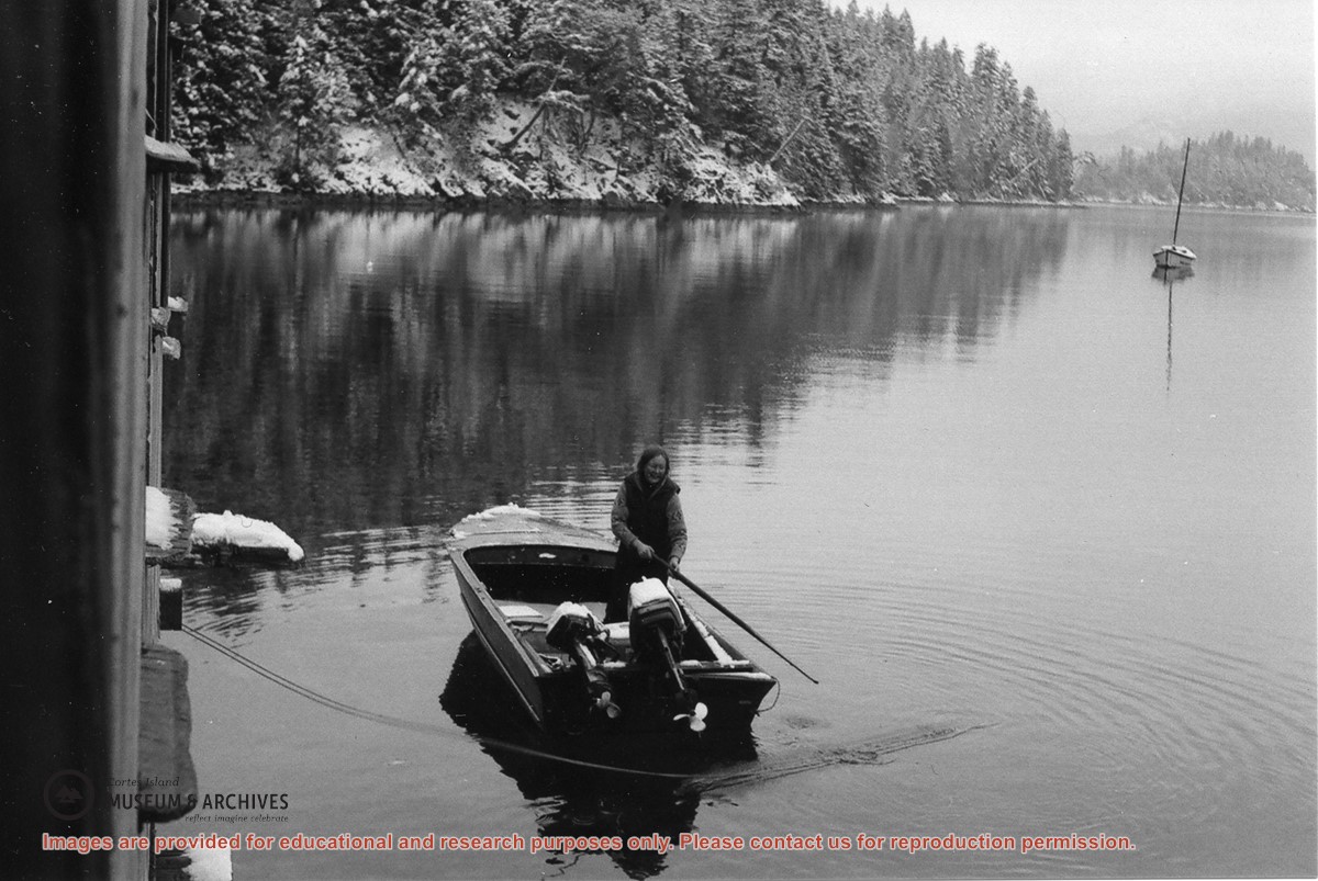
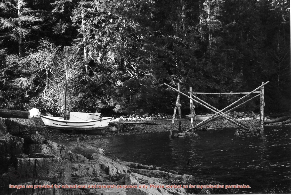
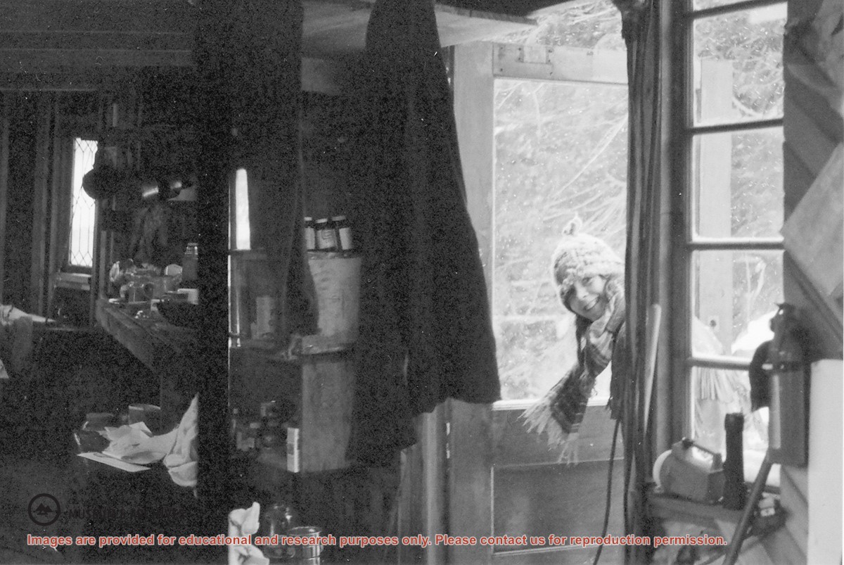
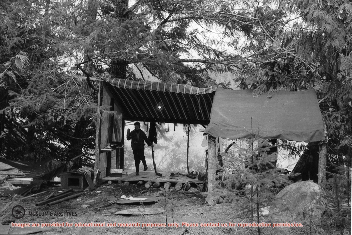
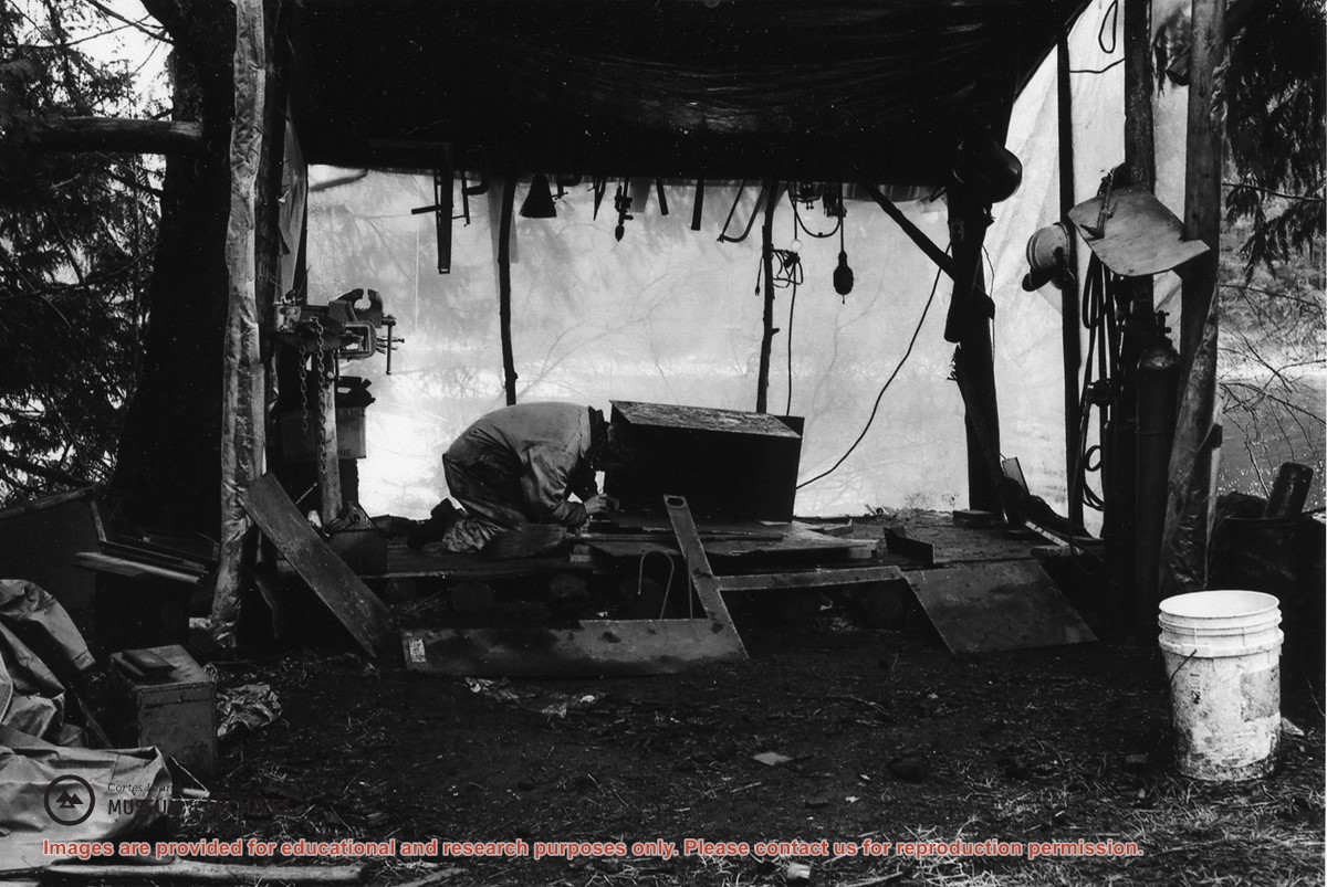
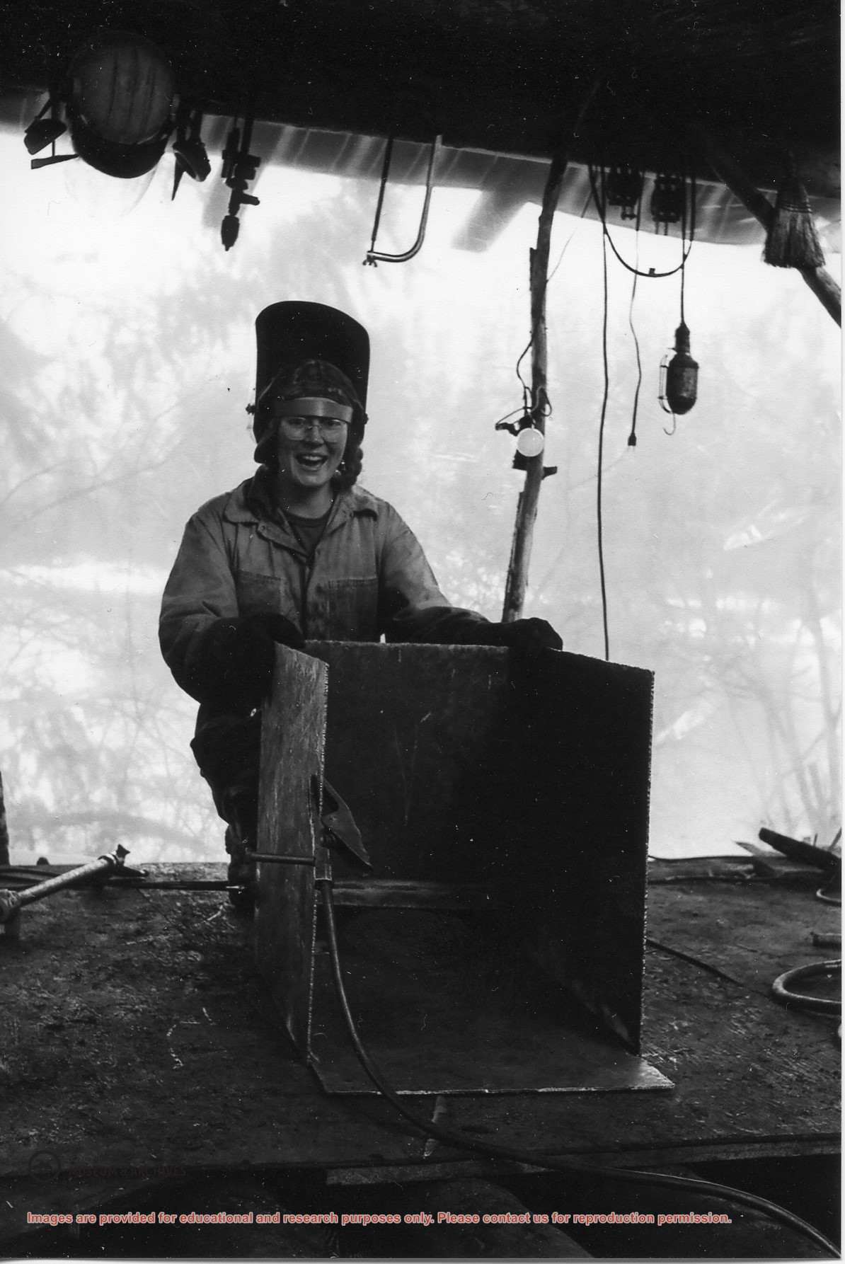
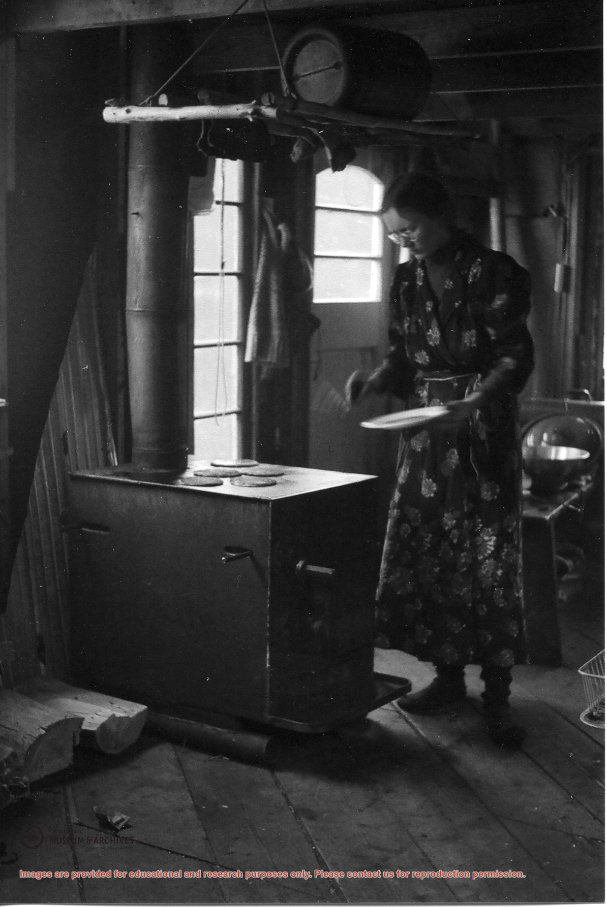
File contains scanned copies of photographs donated by Jim Palmer for the Carrington Bay exhibit in 2009, depicting the community living in Carrington Bay in the 1970s and 1980s.
Jim Palmer and Jan Gemmel lived in a house on the west side of the log jam between Carrington Lagoon and Carrington Bay. Jim built the house at the property of John and Anna Gregg in Manson's Landing and relocated it onto pilings in Carrington Bay. Jim and Jan later fabricated steel pontoons for it. In 1985 the house was moved onto the floats and towed into Gorge Harbour by Bob Thompson with his boat "Sutil Chief".