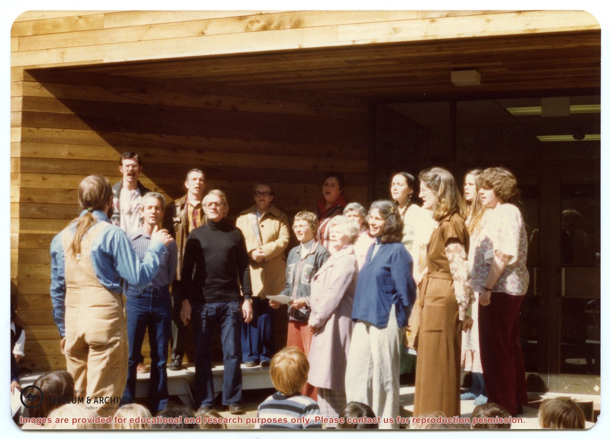
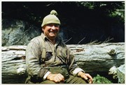
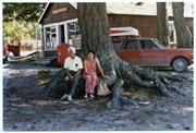
Back, L to R: Bruce Campbell, Duane Campbell, Bonnie Killian, Joan Disney, Peggy Newsham, Wendy Knudson, Kate Hathaway, Donna Norman
Front: David Blinzinger, Conductor; Bruce Ellingsen, Jack Killian, Fay Raymont, Velma Bergman, (ID), Rebecca Campbell
Back, L to R: Bruce Campbell, Duane Campbell, Bonnie Killian, Joan Disney, Peggy Newsham, Wendy Knudson, Kate Hathaway, Donna Norman
Front: David Blinzinger, Conductor; Bruce Ellingsen, Jack Killian, Fay Raymont, Velma Bergman, (ID), Rebecca Campbell
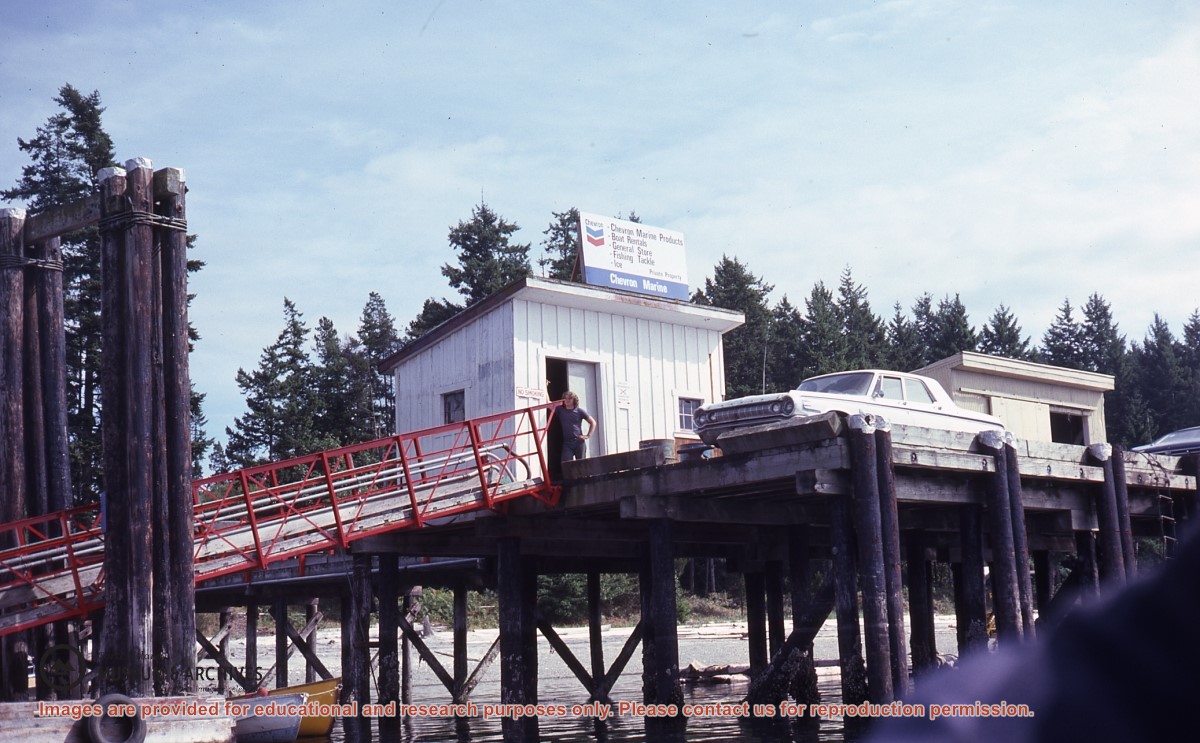
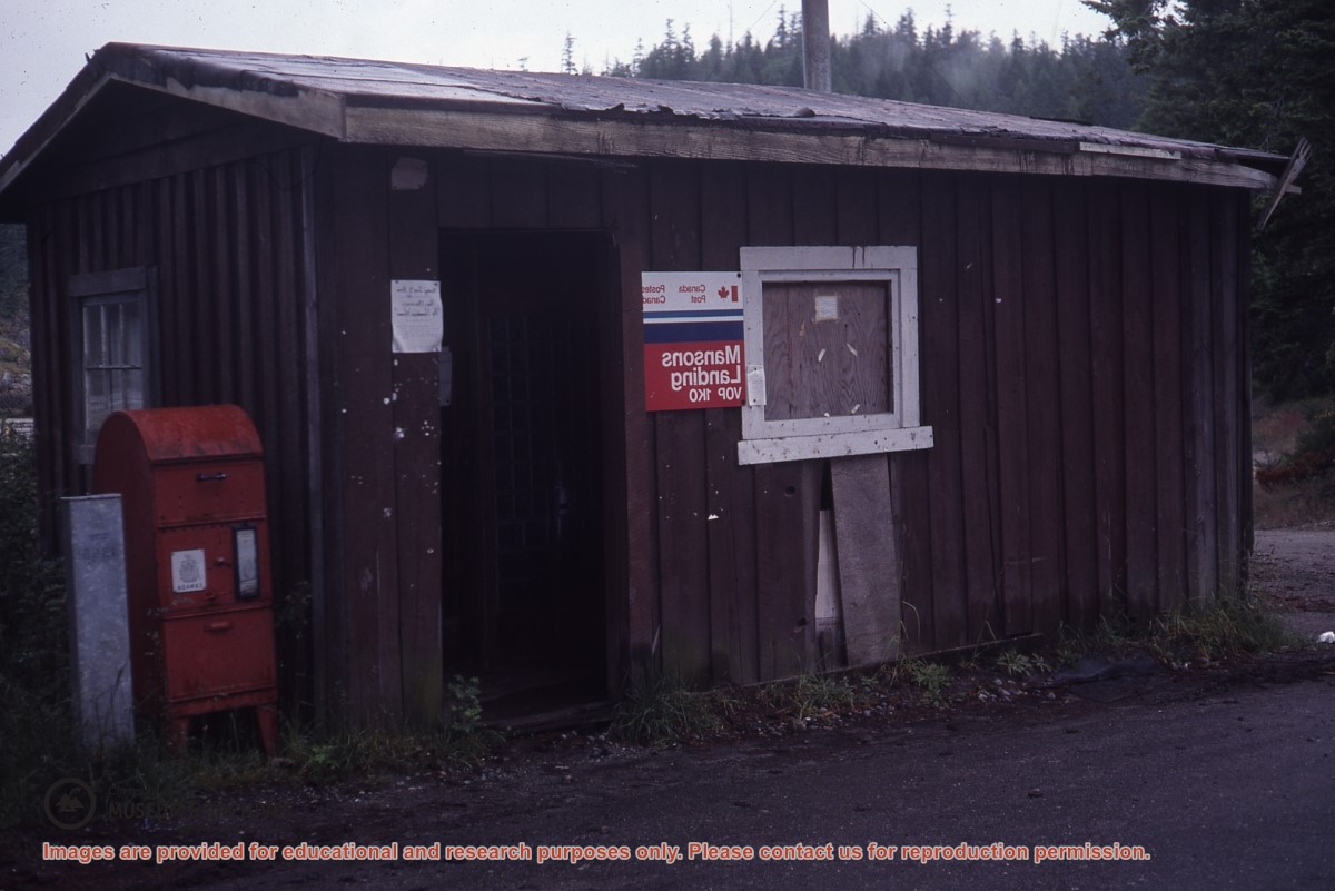
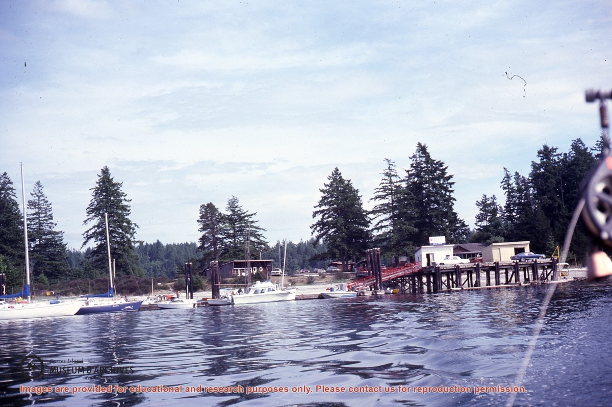
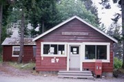
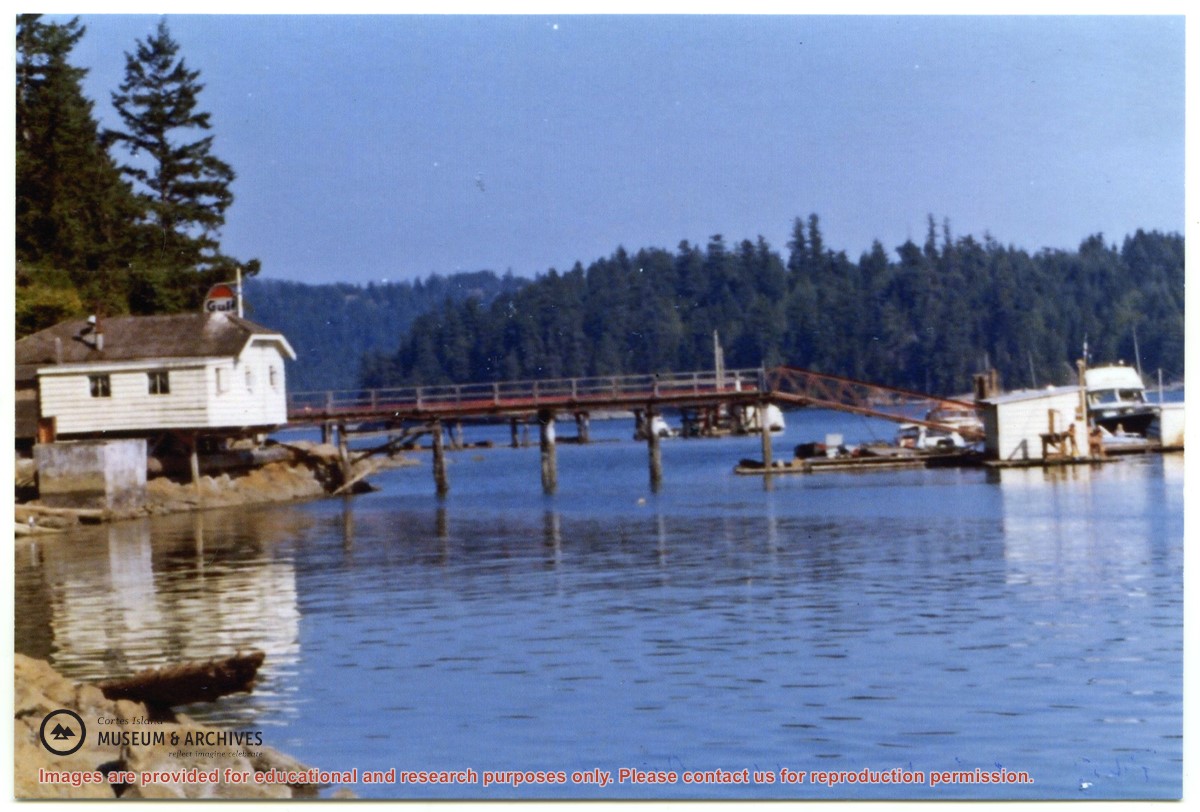
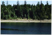
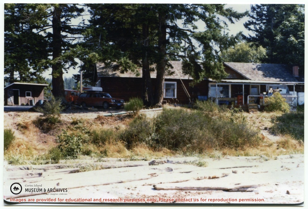
Photograph of the Wharfhouse Restaurant in its original place at the head of the dock at the Gorge Harbour Marina. It was later pulled up the hill and enlarged; it is now the Floathouse Restaurant. Photo by Judy (Alderson) Gerwing.
Photos came from Judy Gerwing, via Leila Campbell, in 2014.
Scope and Content
Photograph of the Wharfhouse Restaurant in its original place at the head of the dock at the Gorge Harbour Marina. It was later pulled up the hill and enlarged; it is now the Floathouse Restaurant. Photo by Judy (Alderson) Gerwing.
File contains a key map which was pasted on the front of the envelope indicating the areas researched for Files 12-16; notes on the titles; photocopies of Crown Grants and subsequent title information for:
BC Buildings Corp: 1982, Crown Grant for Block A of SW 1/4 of Sec. 25 (Highways Maintenance Yard)
District Lot 871 (40 acres between Carrington and Coulter Bays): to James Frederick McManus, 1919
To Ernest Henry Vaughn: 1922, Crown Grant for NE 1/4 and NW 1/4 of NE 1/4 of Sec. 24; SE 1/4 of SW 1/4 and SW 1/4 of SE 1/4 of Sec 31
Herbert Proctor: 1928 for fractional SW 1/4 of Sec. 41, bordering Tork Reserve; 159 acres for $159.00 (orig. Crown Grant to Herbert Proctor in 1922)
To William Cowan: 1937, E 1/2 of SE 1/4 of Sec. 26, 89 acres
(Files 12 through 16 are from the same envelope.)
File contains photocopies of original Crown Grants, subsequent title changes and maps for:
To Joseph Gregson: 1926, Crown Grant for fractional W 1/2 of Lot 899 and Lot 901 (between Coulter and Carrington Bays), with a water easement for Wailes
To John Nugent McIllree: 1957, Crown Grant of mineral rights to lots at Coulter Bay surveyed as the "Arrow" and "Bullseye" mineral claims
To Hilda Peterson: 1919, Crown Grant for Lot 878, Carrington Bay, 55 acres
(Files 12 through 16 are from the same envelope.)
File contains a page of notes, and photocopies of a tax sale notice (1938) and list of properties forfeited for non-payment of taxes, Crown Grants and other title information for the following:
William Walter James: 1926, Crown Grant for NW 1/4 of Sec. 38; 156 acres for $1.00; forfeited to Crown in 1939
Tom Albinson: 1919, Crown Grant for Lot 867; forfeited in 1927
Sadie McMurray: 1917, NE 1/4 of Sec. 39; 160 acres for $160
Peter Police: 1925, fractional NW 1/4 of Sec. 39; 103 acres for $1.00
(Files 12 through 16 are from the same envelope.)
File contains information for the following properties:
E. H. Vaughn: 1893, Crown Grant for fractional N 1/2 of Sec. 22; 90 acres for $90.00.
James P. Allen: 1913, Crown Grant for NW 34 acres of Sec. 23; $170.00
Bernard Robinson Allen: 1919, Crown Grant for SW 1/4 of Sec. 23, 159 acres
Charles Allen: 1912, Crown Grant for SW 1/4 of Sec. 33; 160 acres for $160.00
Harold Marshall Wood: Crown Grant for E 1/2 of NE 1/4 of Sec. 46 (east of Carrington Bay); 81 acres for $1.00.
File contains the following maps, stored in the Map Cabinet:
Subdivision Plan of parcel C & E, NW 1/4 of Sec. 21, 1976
Subdivision of the fractional NE 1/4 of Sec 21, 1966; with names of property owners penciled in
Subdivision Plan of Parcel C and part of Parcel E of fractional NE 1/4 of Sec. 21, 1975
Subdivision Plan of fractional NE 1/4 of Sec. 21 and W 1/2 of SW 1/4 of Sec. 34
(Files 17 through 19 are from the same envelope.)
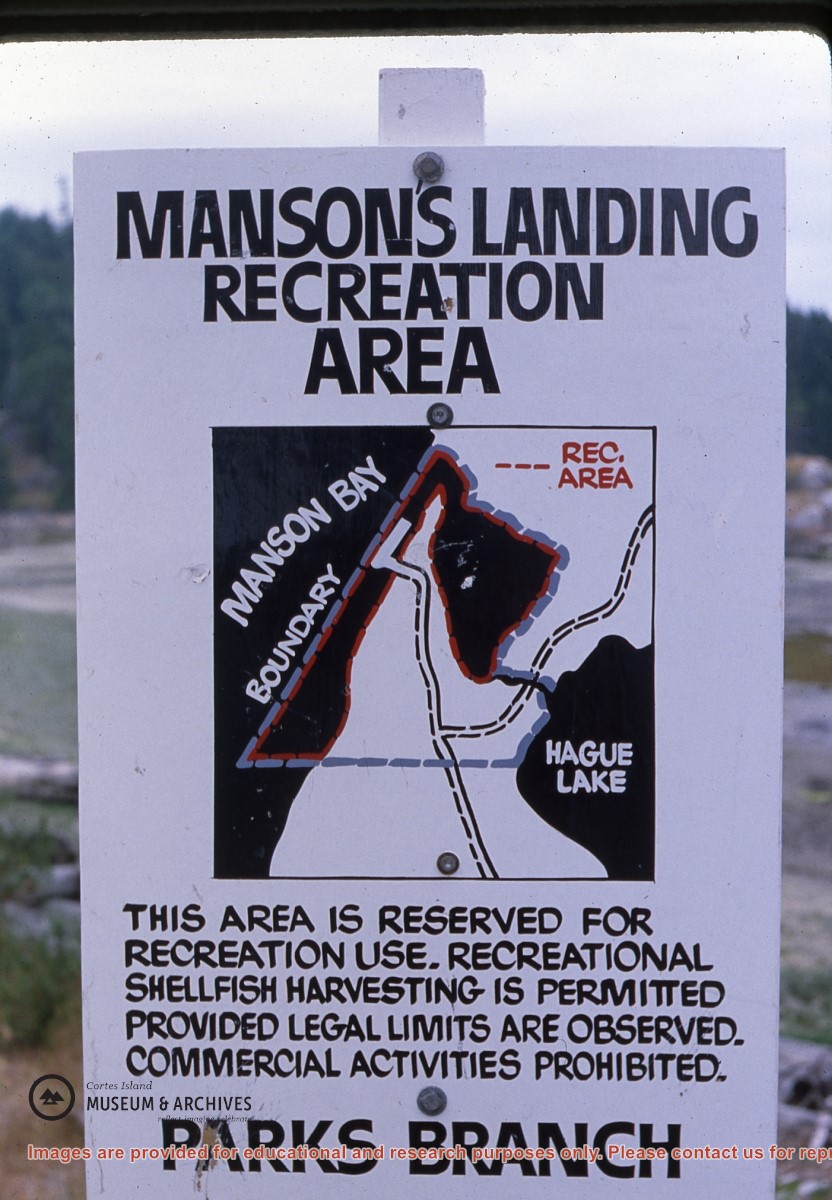
Fonds consists of material that was gathered by Thompson as she researched island history for museum exhibits and local history albums. It includes land title information about Cortes Island properties going back to the original Crown Grants, correspondence and notes about Cortes Island history, photographs, maps and ephemera.
Fonds is arranged in five series: Land Titles Research; Historical Information; Maps; Photographs; and Ephemera.
30 cm of textual records
40 photographs
12 maps
2 CDs
History / Biographical
Doreen (Huck) Thompson, 1944-2006:
Doreen’s grandparents, William Edward Huck and Mabel Wells Huck, arrived on Cortes Island in 1915. Widowed in WWI, Mabel and her four children left Cortes for Vancouver in 1923. Her son Harry, Doreen’s father, returned to Cortes in the 1930s. He married Edith Launchbury in 1937 and had two children, Doreen (b.1944) and Ed (b.1945, d.1993). Doreen and Ed were raised in Whaletown and attended school there and at Manson’s Landing.
Doreen graduated from Vic High in Victoria before marrying Bob Thompson in 1962. From 1961 to 1963, Doreen lived in Teakerne Arm in a floathouse Bob had built on the shore of the Whaletown Lagoon and then moved to the shores of Heriot Bay on Quadra Island. Her children were born in 1964 (Janny) and 1965 (Debby). In 1970 the family and the house moved to Cortes Island where both daughters attended school to Grade 10.
Doreen spent a few years living in Alberta and Victoria in the early 1980s and then returned to Cortes Island. Doreen developed a deep knowledge of the history of the island and she devoted considerable time to preserving, gathering and sharing her own and others knowledge of the island through her volunteer work at the Cortes Island Museum and Archives.
Doreen was one of the founders of the Cortes Island Museum. She curated four exhibits at the Museum, including “Windows on Whaletown” in 1999, “Von Donop Inlet”, the commercial fishing portion of “Celebrating Wild Salmon”, and “Memories of Manson’s Landing”. She researched and created albums which combine photographs, reminiscences and clippings to document the history of various island areas, such as Green Valley and Whaletown. The Doreen Thompson Exhibit Gallery at the Museum commemorates her contributions.
Doreen was making a fourth cross-Canada road trip from Cortes to Newfoundland when she was killed in a car accident near Fort McLeod, Alberta on August 1, 2006.
Custodial History
Material was stored at the museum or collected from Doreen Thomas' house.
Scope and Content
Fonds consists of material that was gathered by Thompson as she researched island history for museum exhibits and local history albums. It includes land title information about Cortes Island properties going back to the original Crown Grants, correspondence and notes about Cortes Island history, photographs, maps and ephemera.
Fonds is arranged in five series: Land Titles Research; Historical Information; Maps; Photographs; and Ephemera.