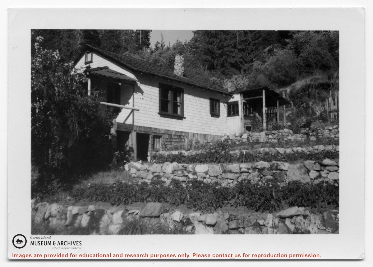
Photograph of a white house with rock-walled terraces to its right. This was Amy and Scotty McKenzie's float house, moved from Von Donop Inlet in 1951. Amy was daughter of Ruth and Henry Byers, who lived in the “Grey House” west of the ferry landing. (The "Grey House" was later moved to Squirrel Cove next to the Store.) The McKenzie house was between the Grey House and the ferry landing; it was torn down ca. 1974. The terraces may still be seen in the small park next to the ferry landing.
Photograph of a white house with rock-walled terraces to its right. This was Amy and Scotty McKenzie's float house, moved from Von Donop Inlet in 1951. Amy was daughter of Ruth and Henry Byers, who lived in the “Grey House” west of the ferry landing. (The "Grey House" was later moved to Squirrel Cove next to the Store.) The McKenzie house was between the Grey House and the ferry landing; it was torn down ca. 1974. The terraces may still be seen in the small park next to the ferry landing.
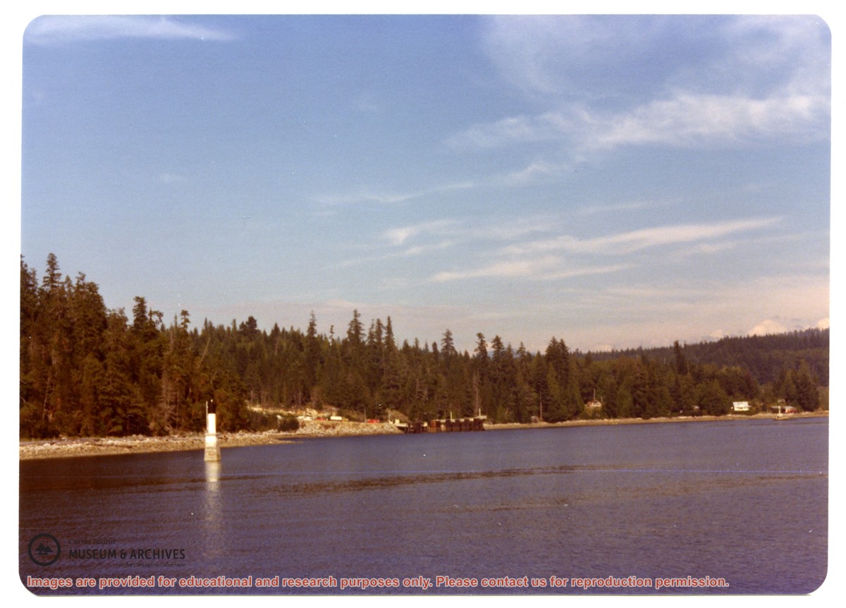
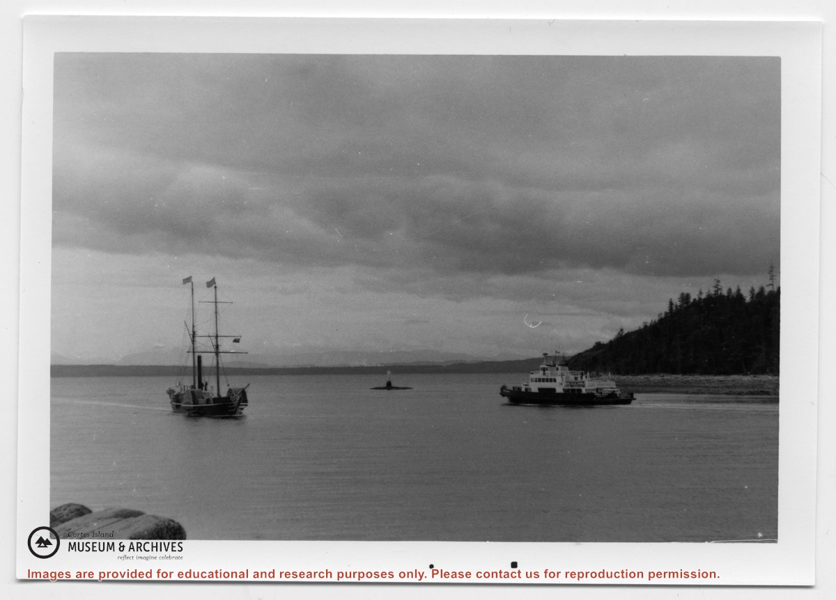
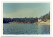
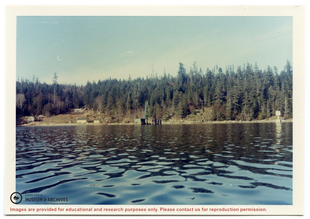
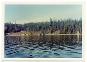
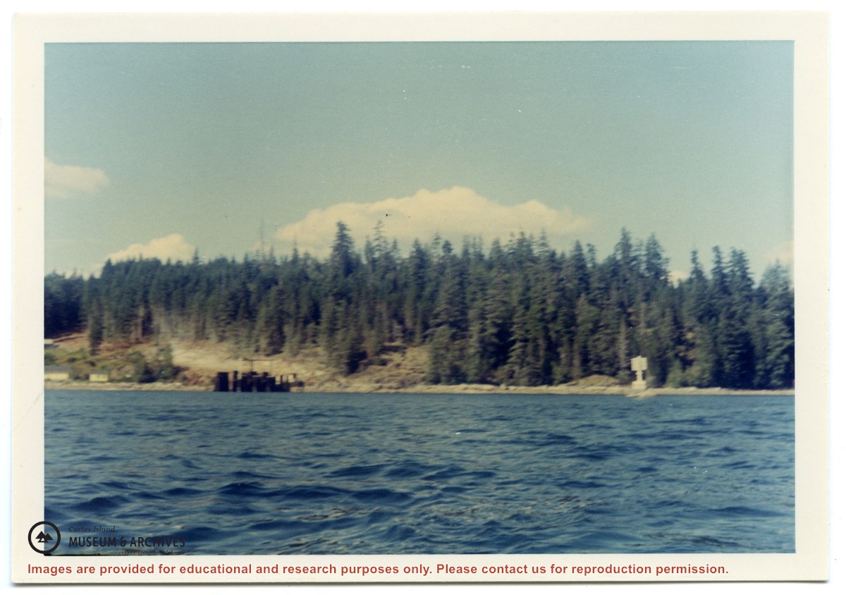
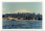
Photograph of Whaletown Bay taken from the water, showing the navigation marker at the entrance, and the houses to the left of the future site of the ferry landing.
Photograph of Whaletown Bay taken from the water, showing the navigation marker at the entrance, and the houses to the left of the future site of the ferry landing.
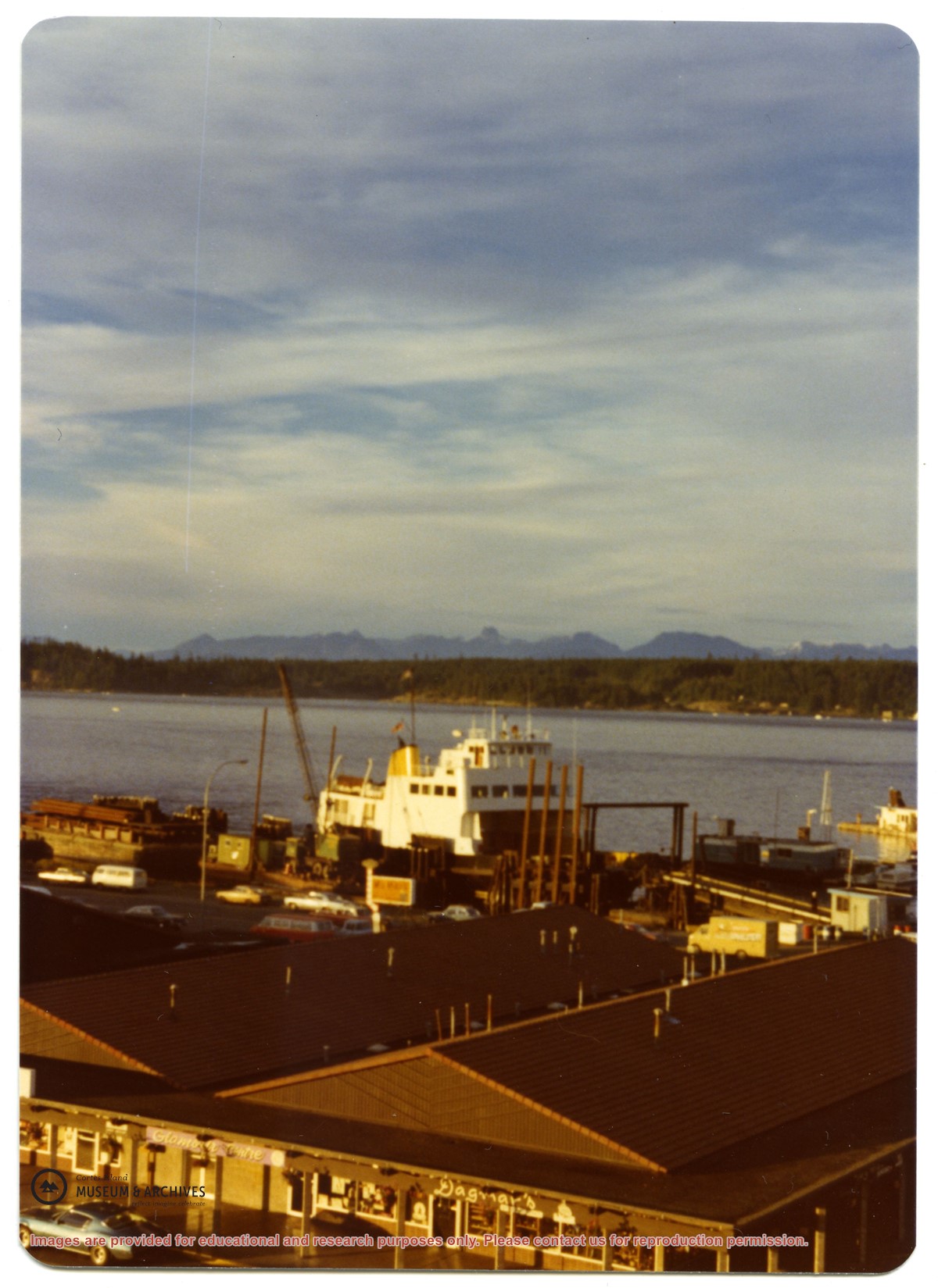
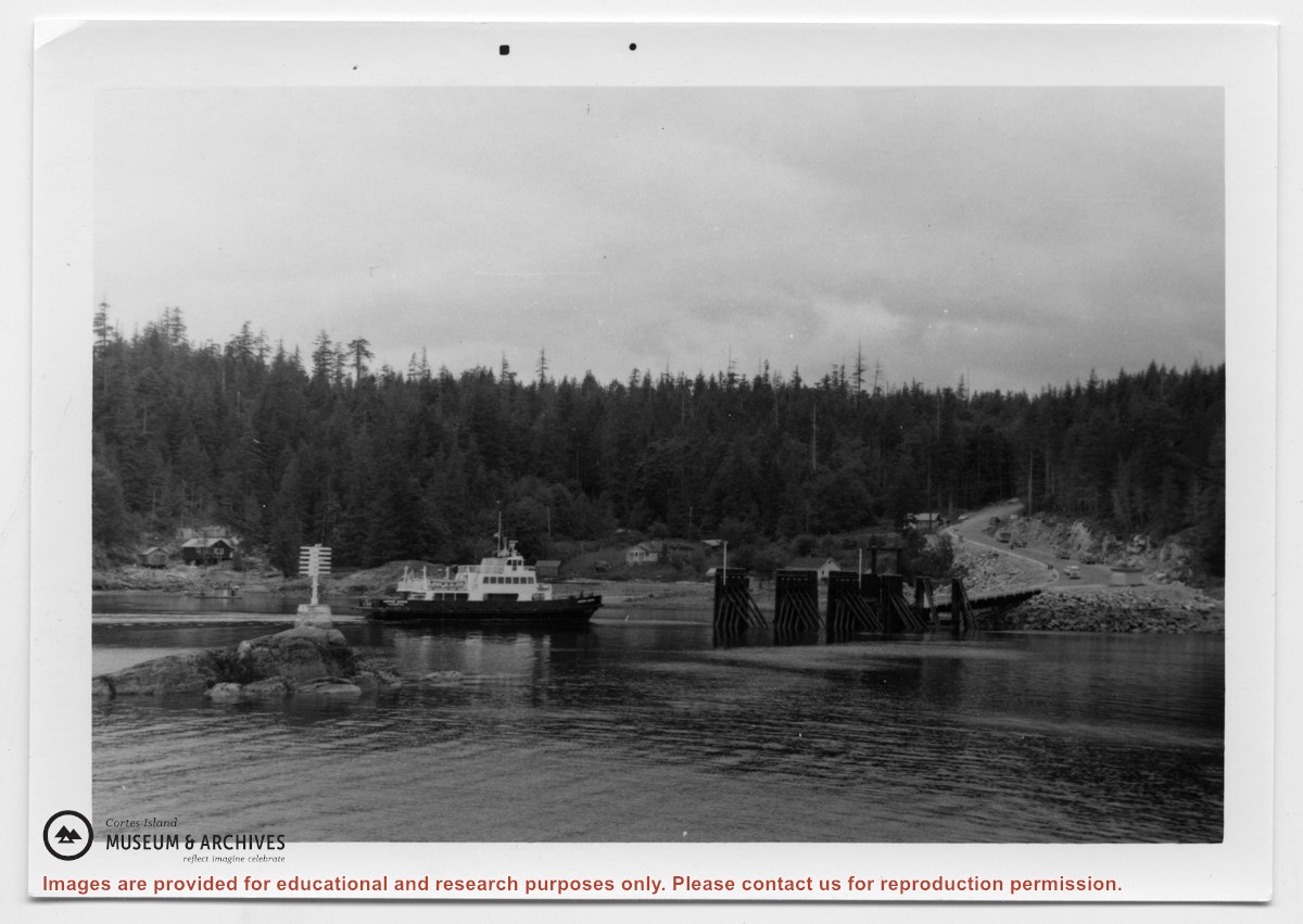
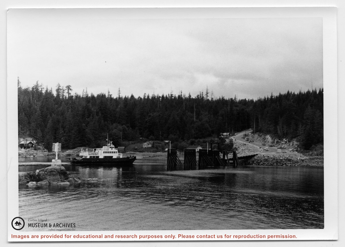
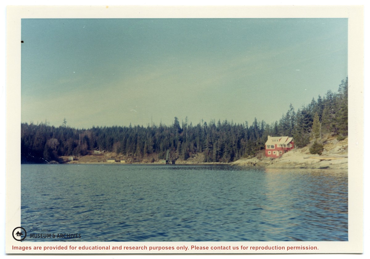
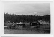
Photograph of Whaletown bay. A crane is behind the ferry dock, which is under construction. The pink house on the right is Otto and Mary Weiler's house.
Photograph of Whaletown bay. A crane is behind the ferry dock, which is under construction. The pink house on the right is Otto and Mary Weiler's house.
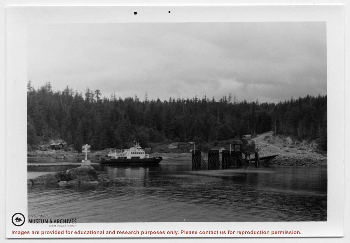
File contains personal and family correspondence, including letters re ferry service and electrification and a Cortes Island Ratepayers' Association newsletter.
File contains personal and family correspondence, including letters re ferry service and electrification and a Cortes Island Ratepayers' Association newsletter.
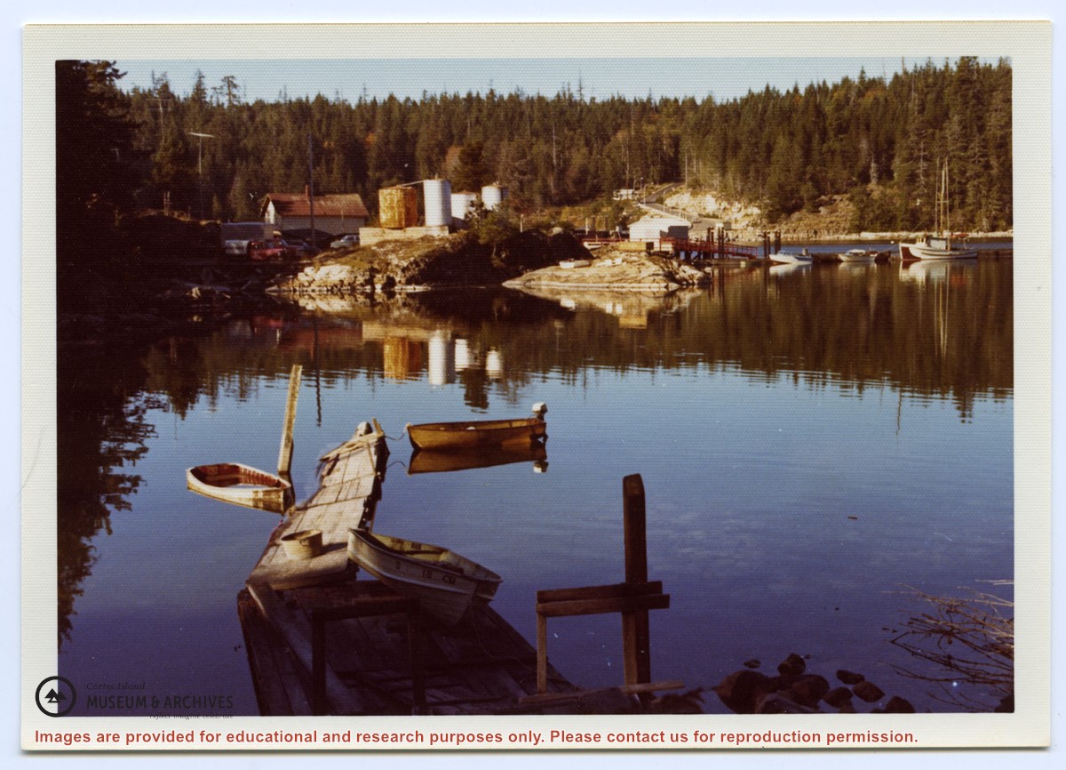
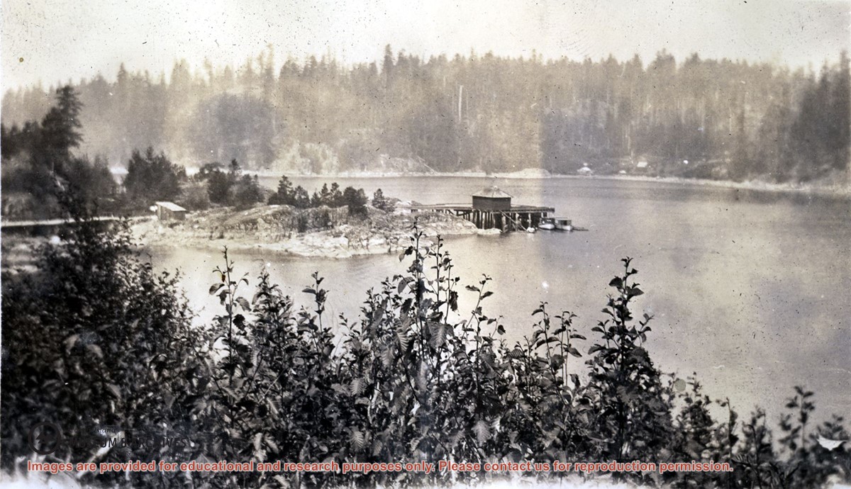
Photograph is an overview of Whaletown and Whaletown Bay, showing the dock and freight shed and the houses across the bay near the current site of the ferry dock.
Photograph is an overview of Whaletown and Whaletown Bay, showing the dock and freight shed and the houses across the bay near the current site of the ferry dock.
Series consists of material generated and collected by Douglas during her term on the Comox-Strathcona Regional Board. Douglas served as Alternate Director from 1968 to 1973, and as Director from 1973 to 1978. During this time, island residents were actively involved in the formulation of Cortes' first Official Settlement Plan and Zoning By-law. Series includes reports, correspondence, notes, copies of studies, Regional District by-laws and drafts of by-laws, including the Official Settlement Plan. It also contains materials on community organizations generated after her term which she collected because of a continuing interest in local government and community planning, and because, as a former Director, she was often consulted on island issues.
Series consists of material generated and collected by Douglas during her term on the Comox-Strathcona Regional Board. Douglas served as Alternate Director from 1968 to 1973, and as Director from 1973 to 1978. During this time, island residents were actively involved in the formulation of Cortes' first Official Settlement Plan and Zoning By-law. Series includes reports, correspondence, notes, copies of studies, Regional District by-laws and drafts of by-laws, including the Official Settlement Plan. It also contains materials on community organizations generated after her term which she collected because of a continuing interest in local government and community planning, and because, as a former Director, she was often consulted on island issues.
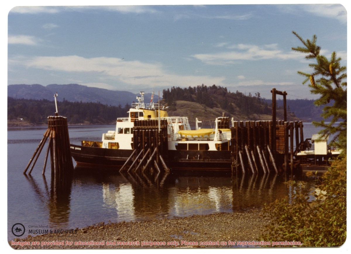
Photograph of Billy Tait standing on the dock in Whaletown. The channel marker and houses near the present-day ferry dock can be seen in the background.
Photograph of Billy Tait standing on the dock in Whaletown. The channel marker and houses near the present-day ferry dock can be seen in the background.