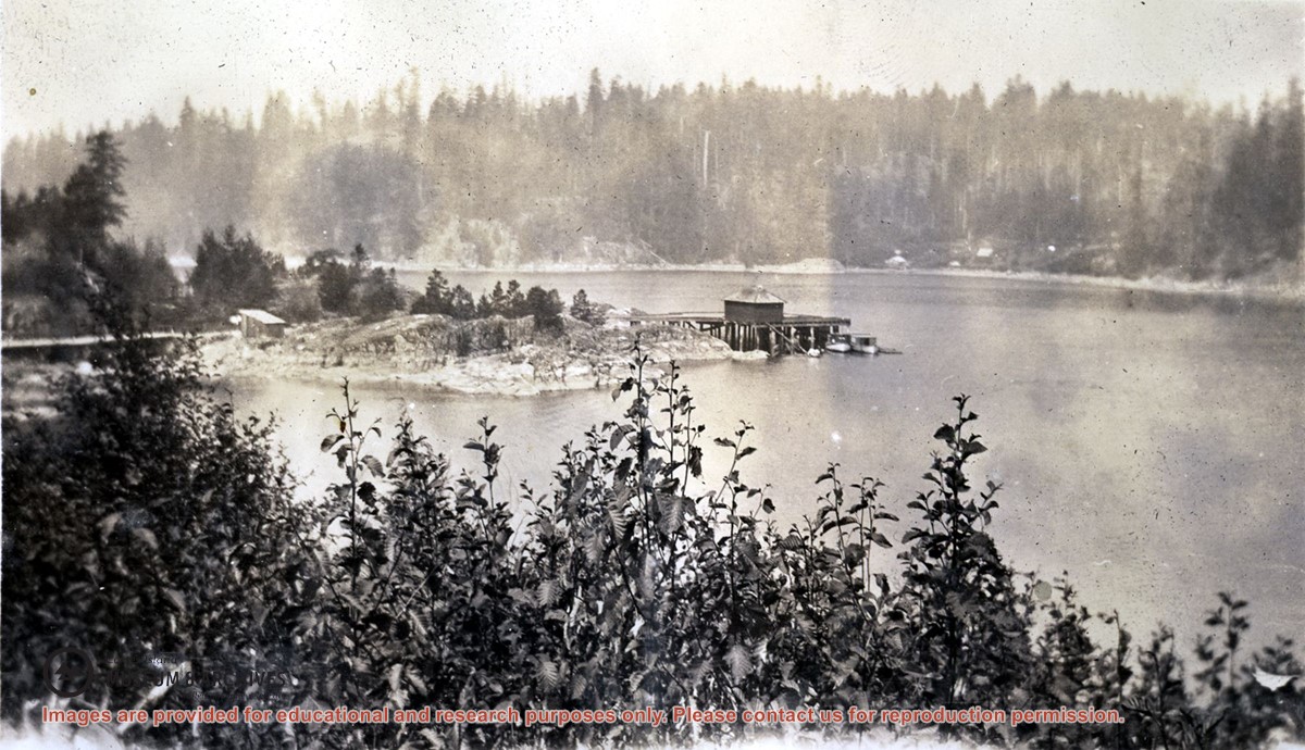
Photograph is an overview of Whaletown and Whaletown Bay, showing the dock and freight shed and the houses across the bay near the current site of the ferry dock.
Photograph is an overview of Whaletown and Whaletown Bay, showing the dock and freight shed and the houses across the bay near the current site of the ferry dock.
Series consists of records relating to logging on Cortes Island. It includes correspondence, account sheets, Forest Service scale sheets, timber sale maps of Von Donop Creek and Carrington Bay, and copies of Forestry regulations.
Series consists of records relating to logging on Cortes Island. It includes correspondence, account sheets, Forest Service scale sheets, timber sale maps of Von Donop Creek and Carrington Bay, and copies of Forestry regulations.
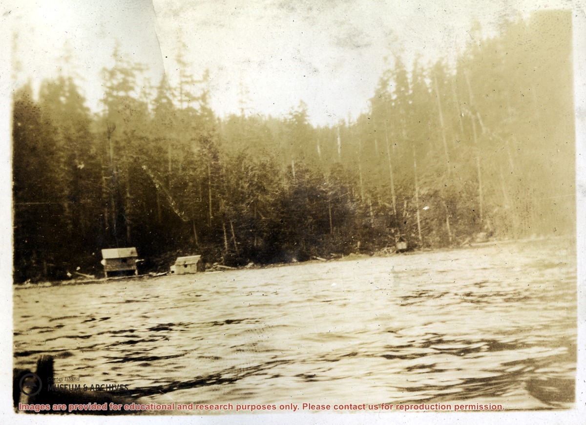
File consists of records relating to logging done by Freeman and Mathews on crown land near Carrington Bay. It contains account sheets of the log buyer, Forestry scale sheets, statements of expense and maps of the area of logging.
File consists of records relating to logging done by Freeman and Mathews on crown land near Carrington Bay. It contains account sheets of the log buyer, Forestry scale sheets, statements of expense and maps of the area of logging.
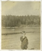
Photograph of Billy Tait standing on the dock in Whaletown. The channel marker and houses near the present-day ferry dock can be seen in the background.
Photograph of Billy Tait standing on the dock in Whaletown. The channel marker and houses near the present-day ferry dock can be seen in the background.