Photograph of the "Rendezvous" with caption: "Rendezvous Patrol. The good ship is taking a heavy southeast'r; heading into it, off Viner Point, Read Island. This is the had of the Gulf of Georgia."
Photograph of the "Rendezvous" with caption: "Rendezvous Patrol. The good ship is taking a heavy southeast'r; heading into it, off Viner Point, Read Island. This is the had of the Gulf of Georgia."
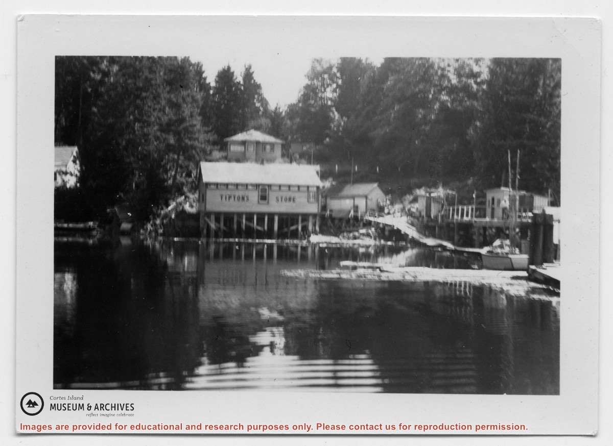
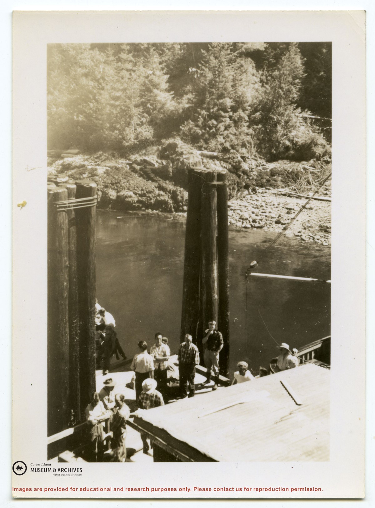
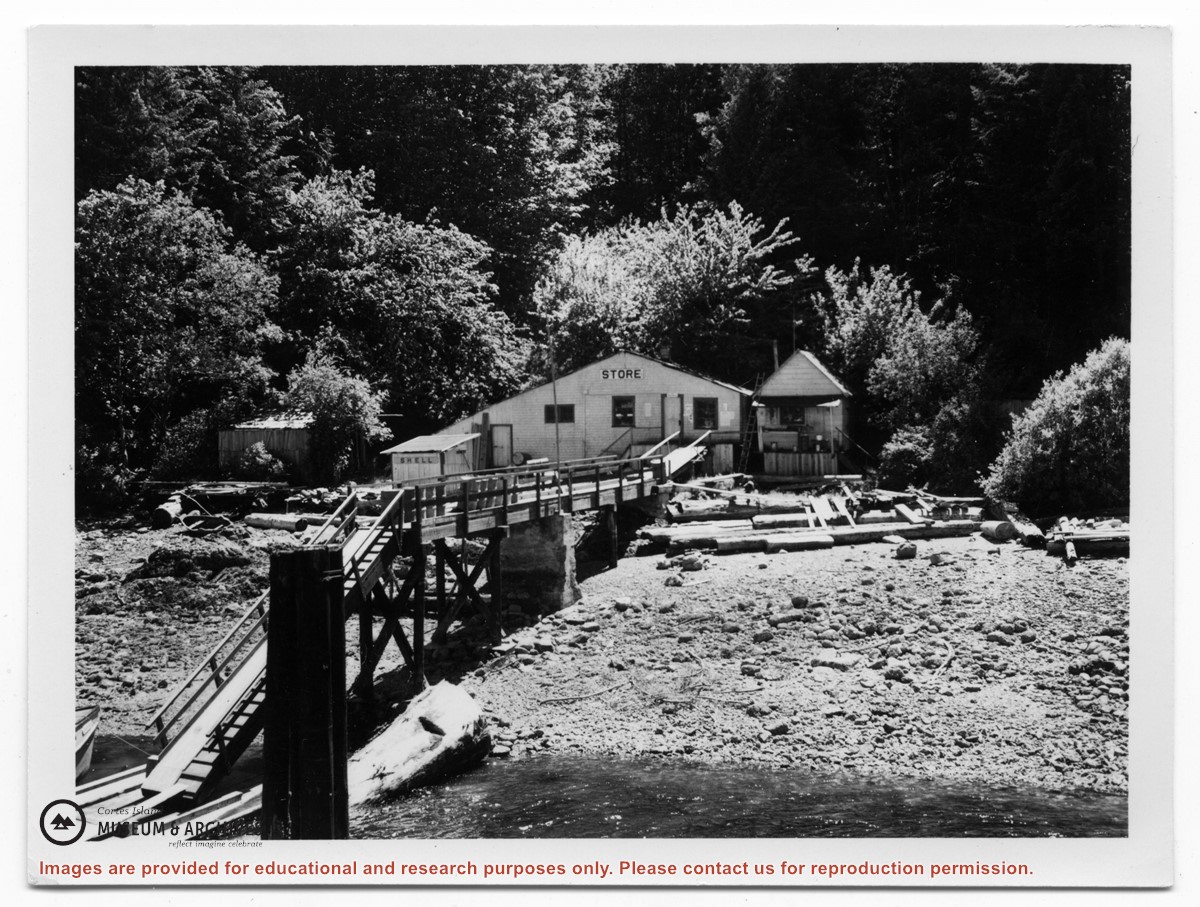
Photograph of Tipton's store at Surge Narrows, Read Island, from the water. A house is above it and to the right, the wharf, walkway and sheds may be seen.
Photograph of Tipton's store at Surge Narrows, Read Island, from the water. A house is above it and to the right, the wharf, walkway and sheds may be seen.
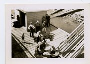
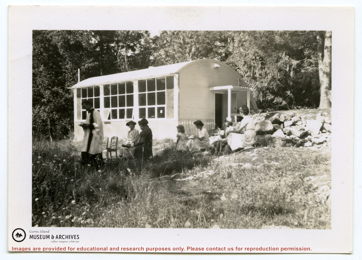
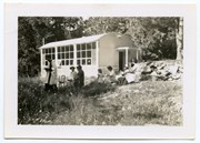
Photograph of Rev. Rollo Boas leading a church service just outside the school building at Surge Narrows on Read Island. Five women and a girl are seated in chairs or on the grass.
Photograph of Rev. Rollo Boas leading a church service just outside the school building at Surge Narrows on Read Island. Five women and a girl are seated in chairs or on the grass.
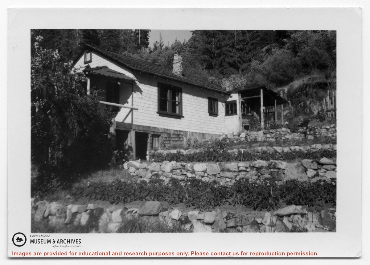
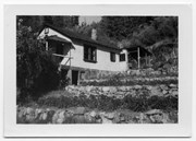
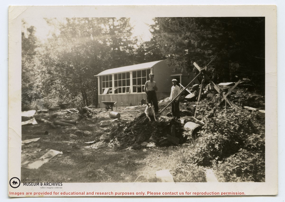
Photograph of a white house with rock-walled terraces to its right. This was Amy and Scotty McKenzie's float house, moved from Von Donop Inlet in 1951. Amy was daughter of Ruth and Henry Byers, who lived in the “Grey House” west of the ferry landing. (The "Grey House" was later moved to Squirrel Cove next to the Store.) The McKenzie house was between the Grey House and the ferry landing; it was torn down ca. 1974. The terraces may still be seen in the small park next to the ferry landing.
Photograph of a white house with rock-walled terraces to its right. This was Amy and Scotty McKenzie's float house, moved from Von Donop Inlet in 1951. Amy was daughter of Ruth and Henry Byers, who lived in the “Grey House” west of the ferry landing. (The "Grey House" was later moved to Squirrel Cove next to the Store.) The McKenzie house was between the Grey House and the ferry landing; it was torn down ca. 1974. The terraces may still be seen in the small park next to the ferry landing.
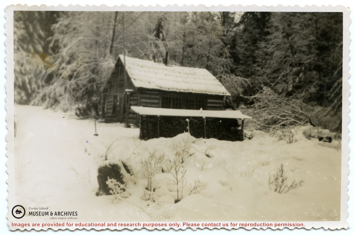
Photograph of the old log school on Read Island, which was about a mile back from the water .A woodshed is to its side; the ground and roofs are covered in snow.
Photograph of the old log school on Read Island, which was about a mile back from the water .A woodshed is to its side; the ground and roofs are covered in snow.
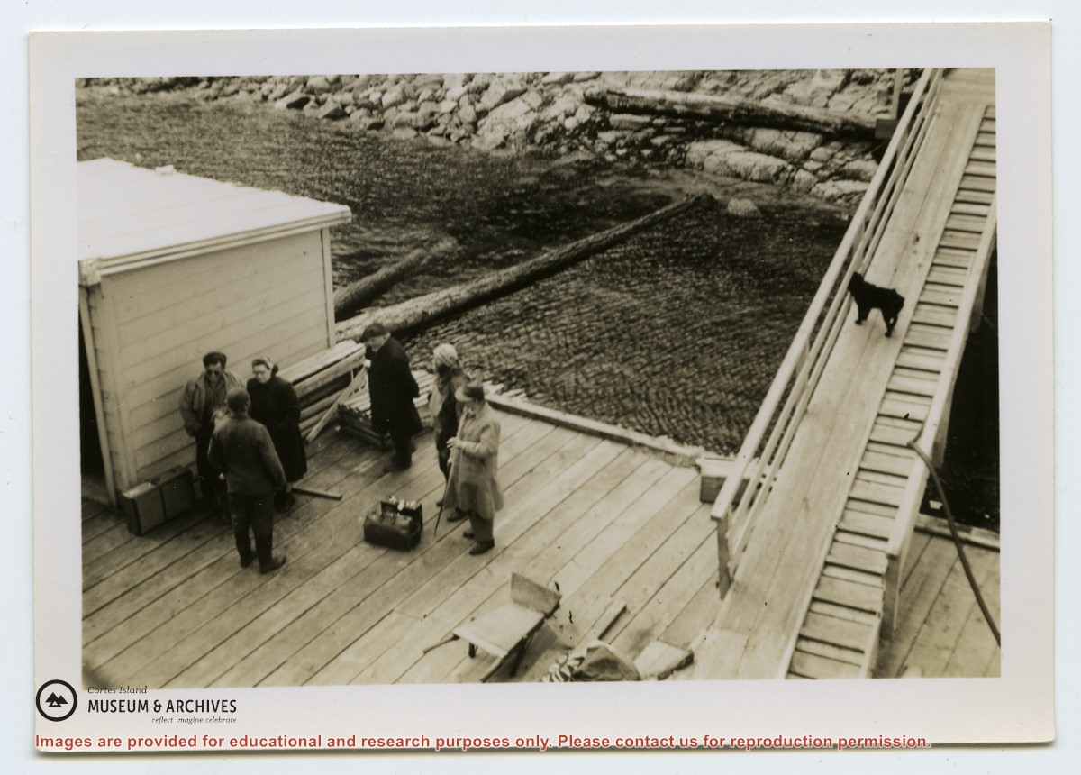
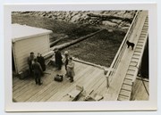
Photograph of a store at the end of a dock. On the back of the photo, Douglas had identified it as "Tipton's store, Surge Narrow, Read Island", but had crossed that out. (ID)
Photograph of a store at the end of a dock. On the back of the photo, Douglas had identified it as "Tipton's store, Surge Narrow, Read Island", but had crossed that out. (ID)
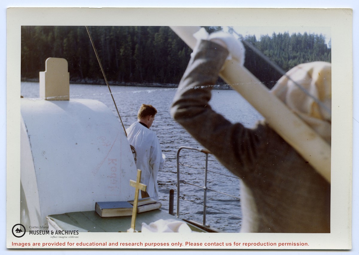
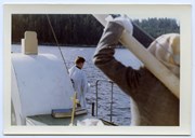
Photograph of Rev. Williams casting the ashes of Richard Symons of Evans Bay, Read Island, from the Columbia Coast Mission boat (same as slide #1999.001.2238)
Photograph of Rev. Williams casting the ashes of Richard Symons of Evans Bay, Read Island, from the Columbia Coast Mission boat (same as slide #1999.001.2238)
File contains a key map which was pasted on the front of the envelope indicating the areas researched for Files 12-16; notes on the titles; photocopies of Crown Grants and subsequent title information for:
BC Buildings Corp: 1982, Crown Grant for Block A of SW 1/4 of Sec. 25 (Highways Maintenance Yard)
District Lot 871 (40 acres between Carrington and Coulter Bays): to James Frederick McManus, 1919
To Ernest Henry Vaughn: 1922, Crown Grant for NE 1/4 and NW 1/4 of NE 1/4 of Sec. 24; SE 1/4 of SW 1/4 and SW 1/4 of SE 1/4 of Sec 31
Herbert Proctor: 1928 for fractional SW 1/4 of Sec. 41, bordering Tork Reserve; 159 acres for $159.00 (orig. Crown Grant to Herbert Proctor in 1922)
To William Cowan: 1937, E 1/2 of SE 1/4 of Sec. 26, 89 acres
(Files 12 through 16 are from the same envelope.)
File contains photocopies of original Crown Grants, subsequent title changes and maps for:
To Joseph Gregson: 1926, Crown Grant for fractional W 1/2 of Lot 899 and Lot 901 (between Coulter and Carrington Bays), with a water easement for Wailes
To John Nugent McIllree: 1957, Crown Grant of mineral rights to lots at Coulter Bay surveyed as the "Arrow" and "Bullseye" mineral claims
To Hilda Peterson: 1919, Crown Grant for Lot 878, Carrington Bay, 55 acres
(Files 12 through 16 are from the same envelope.)
File contains a page of notes, and photocopies of a tax sale notice (1938) and list of properties forfeited for non-payment of taxes, Crown Grants and other title information for the following:
William Walter James: 1926, Crown Grant for NW 1/4 of Sec. 38; 156 acres for $1.00; forfeited to Crown in 1939
Tom Albinson: 1919, Crown Grant for Lot 867; forfeited in 1927
Sadie McMurray: 1917, NE 1/4 of Sec. 39; 160 acres for $160
Peter Police: 1925, fractional NW 1/4 of Sec. 39; 103 acres for $1.00
(Files 12 through 16 are from the same envelope.)