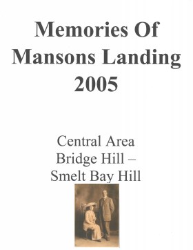
Memories of Mansons Landing 2005 – Central Area – Bridge Hill and Smelt Bay Hill
Binder contains interviews, stories and pictures from Mary and Bill Block, Larry Borland, May (Freeman) Ellingsen, Wilf Freeman, the Froud family, Robbie Graham, Bill Guthrie, Gloria Morrisette, Jean (Reford) MacDonald and Beth (Martin) Slater.
It was created as part of the Memories of Manson's Landing Exhibit, curated and mounted by Doreen Thompson.
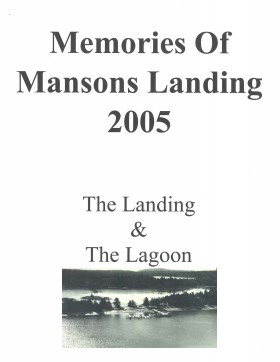
Memories of Mansons Landing 2005: The Landing and the Lagoon
Binder contains interviews, stories and pictures from Ken Summers, Bert and Victoria Summers, Ann Barton, Hiram (Buster) and Mabel Christiansen, Otis (Christiansen) Coulter, George and Rosemary (Gavin) Hawkins, Bob Martineau and Fred Reedel.
It was created as part of the Memories of Manson's Landing Exhibit, curated and mounted by Doreen Thompson.
Binder contains interviews, stories and photographs relating to schools in Mansons Landing. It was created as part of the Memories of Manson's Landing Exhibit, curated and mounted by Doreen Thompson.
Binder contains interviews, stories and photographs relating to schools in Mansons Landing. It was created as part of the Memories of Manson's Landing Exhibit, curated and mounted by Doreen Thompson.
Binder contains interviews, stories, clippings and photographs documenting the social history of the Coulter Bay and Carrington Bay areas. It was created as part of the Windows on Whaletown Exhibit, curated and mounted by Doreen Thompson.
Binder contains interviews, stories, clippings and photographs documenting the social history of the Coulter Bay and Carrington Bay areas. It was created as part of the Windows on Whaletown Exhibit, curated and mounted by Doreen Thompson.
Binder contains interviews, stories, clippings and photographs documenting the social history of the Green Valley/Bluejay Lake area. It was created as part of the Windows on Whaletown Exhibit, curated and mounted by Doreen Thompson.
Binder contains interviews, stories, clippings and photographs documenting the social history of the Green Valley/Bluejay Lake area. It was created as part of the Windows on Whaletown Exhibit, curated and mounted by Doreen Thompson.
Binder contains interviews, stories and pictures from Etta (McKay) Byers, Bert and Penny Hansen, Peggy Pyner, Frank Hayes, Vida (Trousdale) Hodgson, Bob Milton, Lorne Musclow, and Elton Anderson.
It was created as part of the Memories of Manson's Landing Exhibit, curated and mounted by Doreen Thompson.
Binder contains interviews, stories and photographs relating to Michael and John Manson and their families. It was created as part of the Memories of Manson's Landing Exhibit, curated and mounted by Doreen Thompson.
Binder contains interviews, stories and photographs relating to Michael and John Manson and their families. It was created as part of the Memories of Manson's Landing Exhibit, curated and mounted by Doreen Thompson.
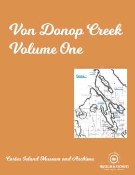
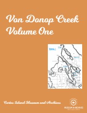
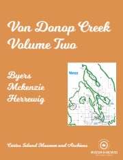
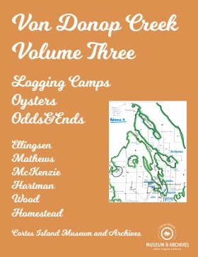
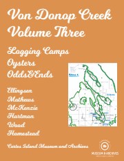
Binder contains interviews, stories and pictures. Binder contains interviews, stories and pictures. It was created in 2001 as part of the exhibit "The Von Donop Creek Story - 1920-1960", curated and mounted by Doreen Thompson.
Binder contains interviews, stories and pictures. Binder contains interviews, stories and pictures. It was created in 2001 as part of the exhibit "The Von Donop Creek Story - 1920-1960", curated and mounted by Doreen Thompson.
Binder contains interviews, stories and pictures. Binder contains interviews, stories and pictures. It was created in 2001 as part of the exhibit "The Von Donop Creek Story - 1920-1960", curated and mounted by Doreen Thompson.
Binder contains interviews, stories and pictures. Binder contains interviews, stories and pictures. It was created in 2001 as part of the exhibit "The Von Donop Creek Story - 1920-1960", curated and mounted by Doreen Thompson.
Binder contains interviews, stories and pictures. It was created in 2001 as part of the exhibit "The Von Donop Creek Story - 1920-1960", curated and mounted by Doreen Thompson. Binder contains interviews, stories and pictures.
Binder contains interviews, stories and pictures. It was created in 2001 as part of the exhibit "The Von Donop Creek Story - 1920-1960", curated and mounted by Doreen Thompson. Binder contains interviews, stories and pictures.
Coloured map of southwestern BC showing municipalities, geographical features, land and sea routes, natural resources, etc. The back of the map is fully printed with information about BC and suggested travel itineraries.
Map needs preservation: edges are frayed and there are several tears.
Coloured map of southwestern BC showing municipalities, geographical features, land and sea routes, natural resources, etc. The back of the map is fully printed with information about BC and suggested travel itineraries.
Map needs preservation: edges are frayed and there are several tears.
The base map is a zoning map produced by the Regional District of Comox-
Strathcona for the Cortes Island Land Use Project (Aug 1969). Edwards used
coloured pencil to show land and foreshore zones, and transferred information
about early preemptions and old roads and trails from an earlier map (see
Donald Palmer fonds, 2020.002.011, map of Cortes Island, Sayward District, ca.
1915).
Map of the British Empire, drawn by Eric Dinickel for publication in the June, 1953 issue of Maclean’s (the month of the coronation of Queen Elizabeth II). Printed in full colour.
Map of the British Empire, drawn by Eric Dinickel for publication in the June, 1953 issue of Maclean’s (the month of the coronation of Queen Elizabeth II). Printed in full colour.
Photograph postcard of the Whaletown Church. Originally from the collection of Gilean Douglas.
Note - There is a digital enlargement of this postcard in the oversize box. This same postcard is found in other fonds (Items 2003.002.024 and 2019.023.013).
Photograph postcard of the Whaletown Church. Originally from the collection of Gilean Douglas.
Note - There is a digital enlargement of this postcard in the oversize box. This same postcard is found in other fonds (Items 2003.002.024 and 2019.023.013).


.jpg?width=1200&404=no-img.jpg&watermark=wmk)
.jpg?width=1200&404=no-img.jpg&watermark=wmk)
.jpg?width=180&404=no-img.jpg)