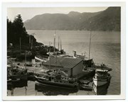
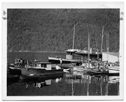
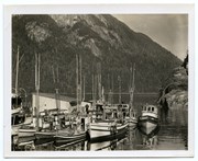
Photograph of The "Columbia" and the "John Antle" at the end of the wharf on Stuart Island, along with other boats. This is cropped from #1999.001.947.
Photograph of The "Columbia" and the "John Antle" at the end of the wharf on Stuart Island, along with other boats. This is cropped from #1999.001.947.
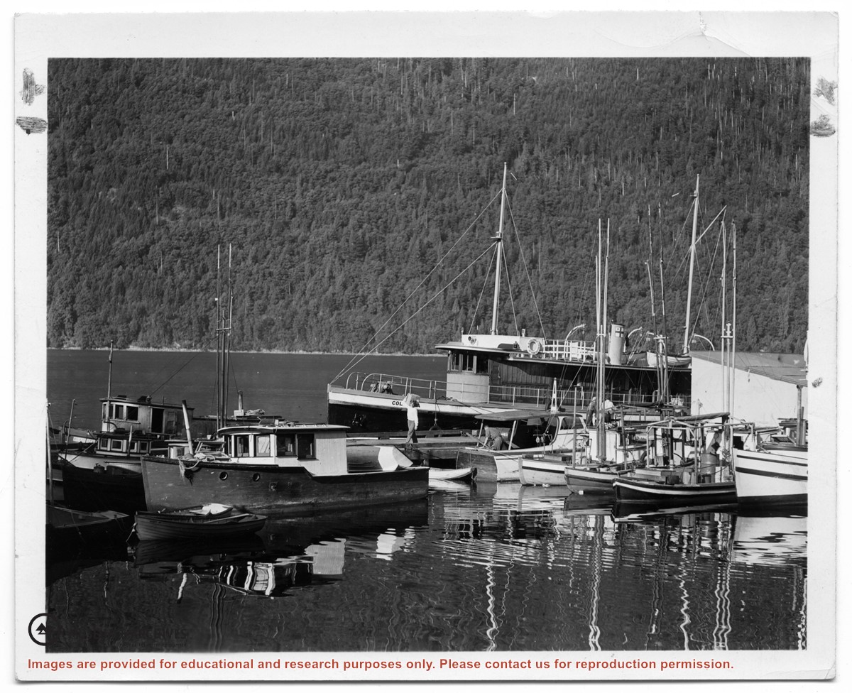
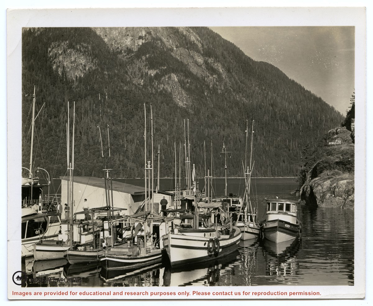
Photograph of the "Columbia" and the "John Antle" at the wharf on Stuart Island. Other boats are also tied up at the dock; there are buildings at the head of the wharf. See also #1999.001.938, which is a crop from this photo.
2 photograph prints: b&w; 12.5 x 10 cm and 25.5 x 12 cm
Scope and Content
Photograph of the "Columbia" and the "John Antle" at the wharf on Stuart Island. Other boats are also tied up at the dock; there are buildings at the head of the wharf. See also #1999.001.938, which is a crop from this photo.
Map of the British Empire, drawn by Eric Dinickel for publication in the June, 1953 issue of Maclean’s (the month of the coronation of Queen Elizabeth II). Printed in full colour.
Map of the British Empire, drawn by Eric Dinickel for publication in the June, 1953 issue of Maclean’s (the month of the coronation of Queen Elizabeth II). Printed in full colour.

.jpg?width=1200&404=no-img.jpg&watermark=wmk)
.jpg?width=1200&404=no-img.jpg&watermark=wmk)
.jpg?width=1200&404=no-img.jpg&watermark=wmk)
.jpg?width=180&404=no-img.jpg)
.jpg?width=1200&404=no-img.jpg&watermark=wmk)
.jpg?width=1200&404=no-img.jpg&watermark=wmk)
.jpg?width=180&404=no-img.jpg)