Map of the British Empire, drawn by Eric Dinickel for publication in the June, 1953 issue of Maclean’s (the month of the coronation of Queen Elizabeth II). Printed in full colour.
Map of the British Empire, drawn by Eric Dinickel for publication in the June, 1953 issue of Maclean’s (the month of the coronation of Queen Elizabeth II). Printed in full colour.
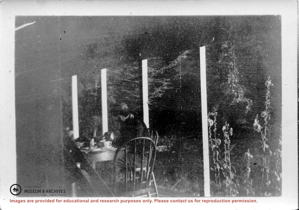
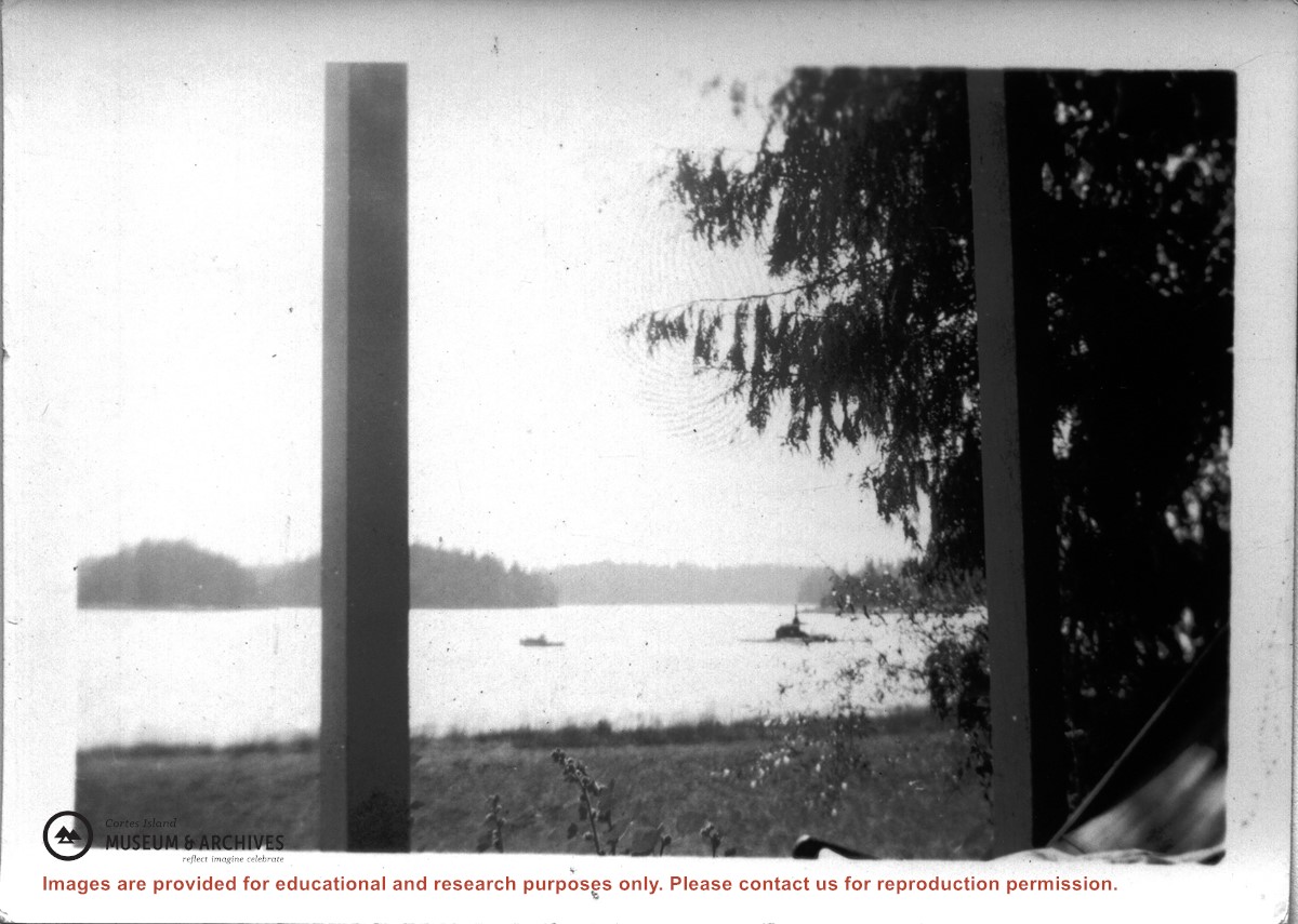
Donated by Larry Borland, with a note: "Dear staff of the Cortes Island Museum & Archives Society - I have received your request and I will try my best to give a bit of our history."
Scope and Content
CD containing text and image files documenting the history of the Borland family on Cortes Island.
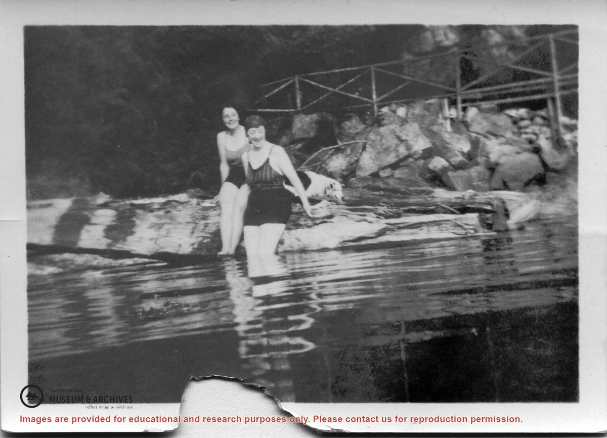
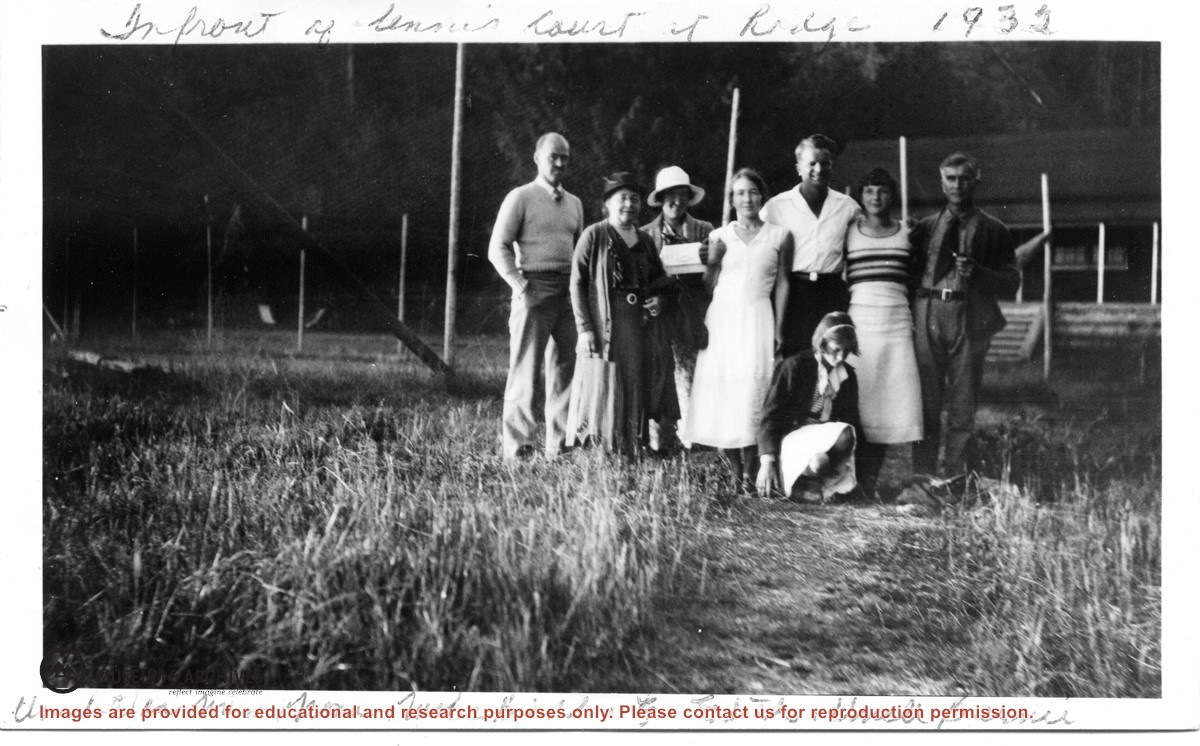
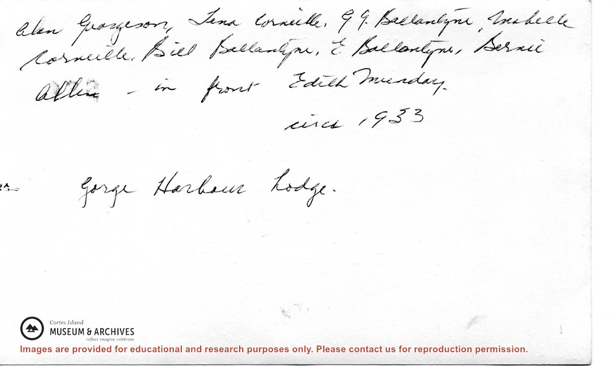
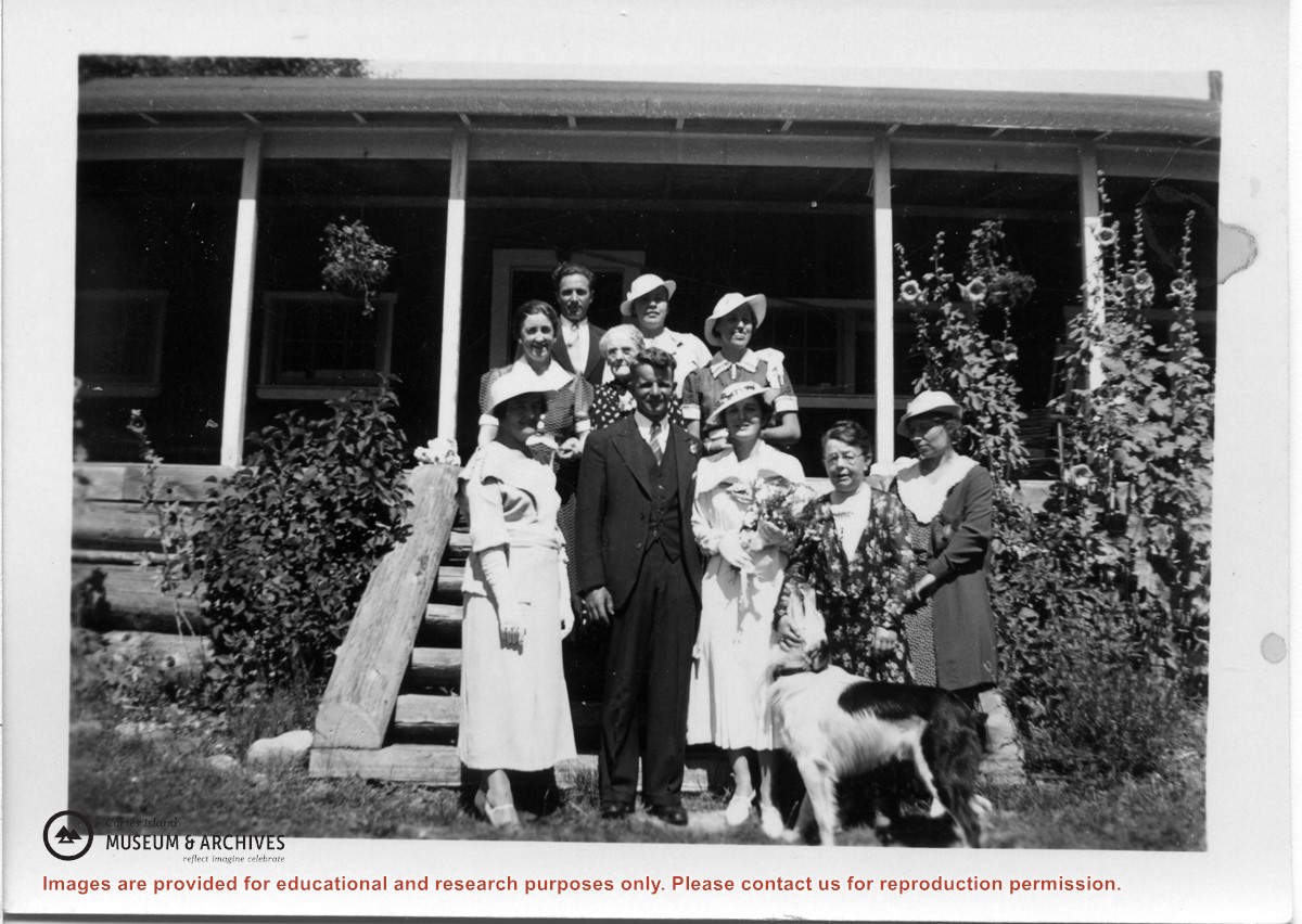
L to R: Alan Georgeson, Tena Corneille, G.G. (Gladys) Ballantyne, Mabelle Corneille, Bill Ballantyne, E (Bobby) Corneille, Bernie Allen
In front: Edith Munday
L to R: Alan Georgeson, Tena Corneille, G.G. (Gladys) Ballantyne, Mabelle Corneille, Bill Ballantyne, E (Bobby) Corneille, Bernie Allen
In front: Edith Munday