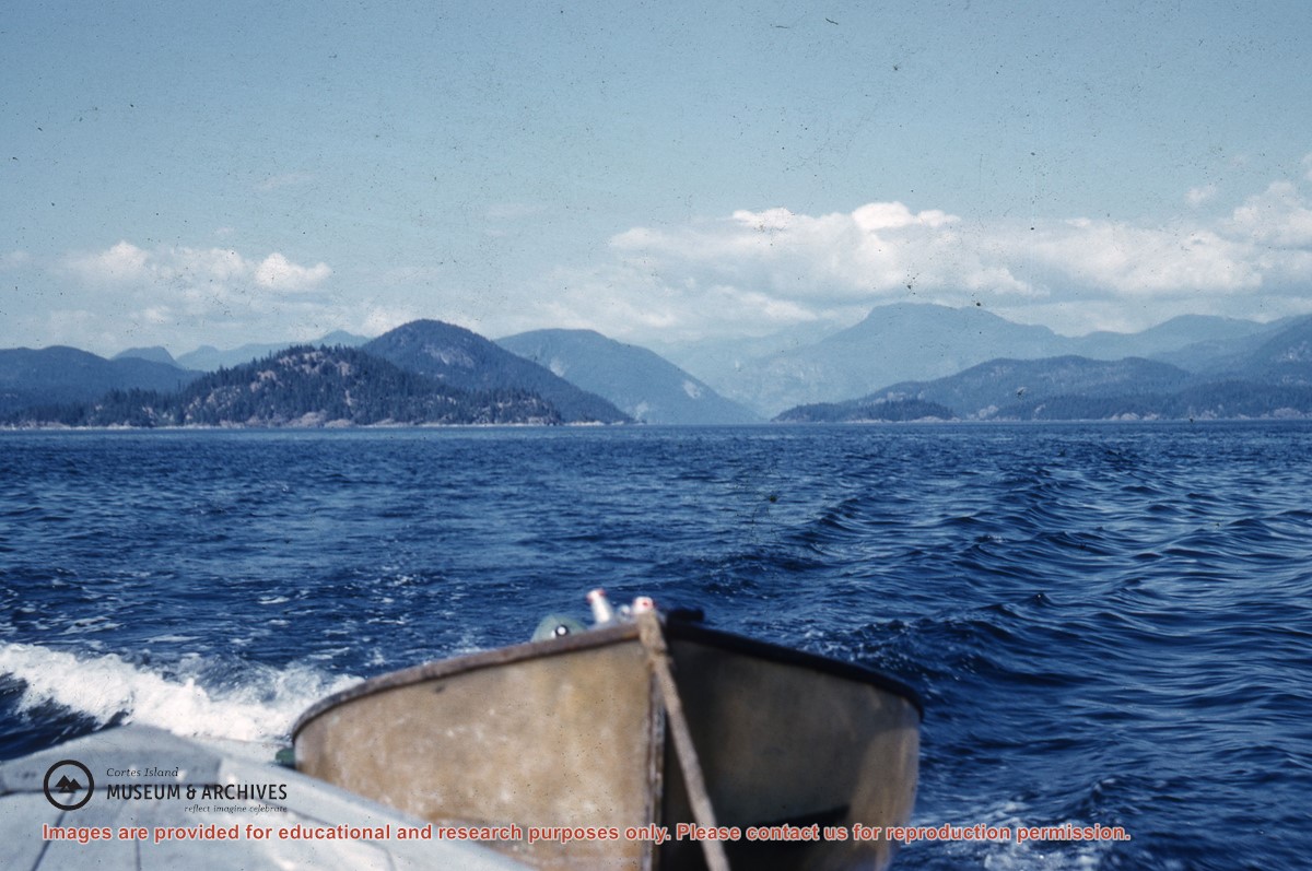
File contains two letters, written in pencil, to "Mother and Dad" by "Freddie" (surname unknown) on July 9, 1942 (7 pages) and July 13, 1942 (5 pages). Freddie was aboard the mission ship "John Antle", based in Whaletown with Canon Alan Greene, and writes of his experiences as part of the mission patrol. Places visited include Redonda Bay, Alert Bay, Rock Bay, Surge Narrows and Cortes Island settlements.
Donated by Bill Bartlett, of the Gerald Wellburn Philatelic Foundation, Victoria BC, in 2021. The letters were part of a stamp collection given to the Foundation. Bartlett recognized the connection to Cortes Island and mailed the letters to the Museum.
Scope and Content
File contains two letters, written in pencil, to "Mother and Dad" by "Freddie" (surname unknown) on July 9, 1942 (7 pages) and July 13, 1942 (5 pages). Freddie was aboard the mission ship "John Antle", based in Whaletown with Canon Alan Greene, and writes of his experiences as part of the mission patrol. Places visited include Redonda Bay, Alert Bay, Rock Bay, Surge Narrows and Cortes Island settlements.
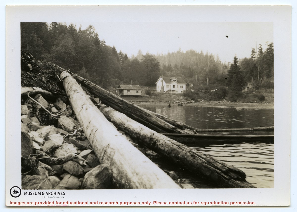
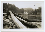
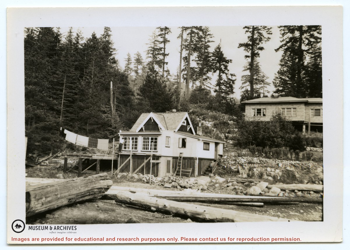
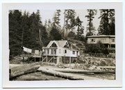
Photograph of the Hayes family house at the head of Cortes Bay. To the left on the beach is a smaller house; to the right a line of laundry is hanging, and a small building (outhouse or smokehouse?) is further to the right. In the foreground some logs are piled on the rocky beach. (same as #1999.001.653)
Photograph of the Hayes family house at the head of Cortes Bay. To the left on the beach is a smaller house; to the right a line of laundry is hanging, and a small building (outhouse or smokehouse?) is further to the right. In the foreground some logs are piled on the rocky beach. (same as #1999.001.653)
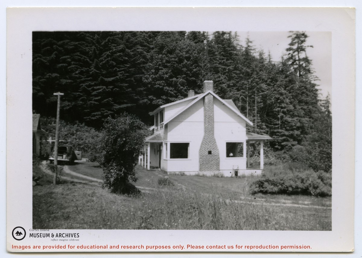
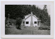
Photograph of two houses. George and Marjorie Griffin's house is in front; pilings for an addition can be seen on the right. Marjorie Griffin is painting the window frames. The house was completed in about 1955/1956 and demolished ca. 2012. To its right and slightly above it is a cottage built by Griffin for his son George and wife Joyce.
2 photograph prints: b&w;16.5 x 11.5 cm (A) and 9 x 6.5 cm (B)
Scope and Content
Photograph of two houses. George and Marjorie Griffin's house is in front; pilings for an addition can be seen on the right. Marjorie Griffin is painting the window frames. The house was completed in about 1955/1956 and demolished ca. 2012. To its right and slightly above it is a cottage built by Griffin for his son George and wife Joyce.
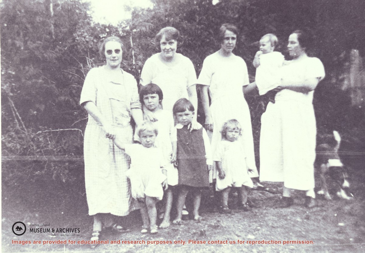
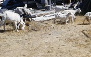
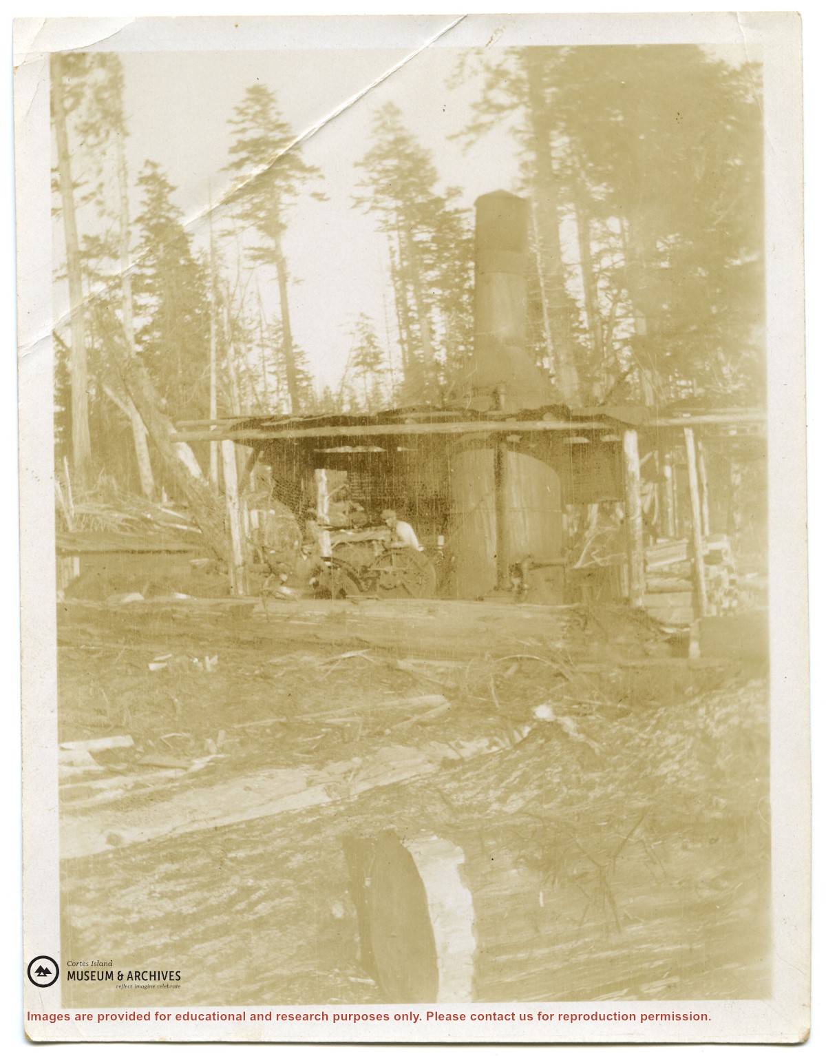
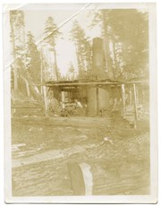
Families of Hernando Island men who worked together in a very small logging enterprise.
L to R: Mrs. Gwen (Fraser) Campbell holding Thelma's hand, Mrs. C. Owen (friend) behind Etta and Hazel McKay, Mrs. Jean (Wilfred) Manson behind Dorothy, Mrs. Florence (Ervin) McKay holding Minerva Campbell.
Families of Hernando Island men who worked together in a very small logging enterprise.
L to R: Mrs. Gwen (Fraser) Campbell holding Thelma's hand, Mrs. C. Owen (friend) behind Etta and Hazel McKay, Mrs. Jean (Wilfred) Manson behind Dorothy, Mrs. Florence (Ervin) McKay holding Minerva Campbell.
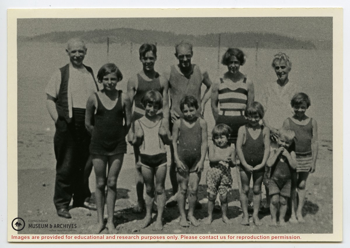
Photograph shows members of the Michael Manson extended family in bathing costumes. The are identified as Mr. Niven, Muriel Hurren, Jim Niven, Dick Parker, Thelma Campbell, Audrey Kenny, Jean Manson, Eileen Kenny, Minerva Campbell, Mrs. Niven, Dorothy Manson and Lorne Campbell.
Photograph shows members of the Michael Manson extended family in bathing costumes. The are identified as Mr. Niven, Muriel Hurren, Jim Niven, Dick Parker, Thelma Campbell, Audrey Kenny, Jean Manson, Eileen Kenny, Minerva Campbell, Mrs. Niven, Dorothy Manson and Lorne Campbell.
File contains five maps of Hernando Island: two showing plans of pre-emptions, 1891-1892; two copies of an old hand-drawn map, 1955; and one map of a later proposed development (undated). Some maps have notes on homesteads.
File contains five maps of Hernando Island: two showing plans of pre-emptions, 1891-1892; two copies of an old hand-drawn map, 1955; and one map of a later proposed development (undated). Some maps have notes on homesteads.
File contains a hand-drawn map of Hernando Island showing original pre-emptions, with information about settlement, schools and changes of title written on it.
File contains a hand-drawn map of Hernando Island showing original pre-emptions, with information about settlement, schools and changes of title written on it.