File contains maps of Bute Inlet (1970), Cortes Island/Read Island and surrounding area (ca. 1950), Powell River (1968) and Cortes Island zoning maps (Jan 1974).
File contains maps of Bute Inlet (1970), Cortes Island/Read Island and surrounding area (ca. 1950), Powell River (1968) and Cortes Island zoning maps (Jan 1974).
File contains hand-drawn maps from the early 1900s. There are two copies of the plan of part of SW 1/4 of Section 34; a plan of Gorge Harbour with names of owners written in; and a plan showing part of Read Island.
File contains hand-drawn maps from the early 1900s. There are two copies of the plan of part of SW 1/4 of Section 34; a plan of Gorge Harbour with names of owners written in; and a plan showing part of Read Island.
File contains material relating to a proposed subdivision by Elmer Ellingsen, Plan 23367, including a map with buyers pencilled in (60 x 51 cm - from Acc. #2019.019).
File contains material relating to a proposed subdivision by Elmer Ellingsen, Plan 23367, including a map with buyers pencilled in (60 x 51 cm - from Acc. #2019.019).
File contains five maps of Hernando Island: two showing plans of pre-emptions, 1891-1892; two copies of an old hand-drawn map, 1955; and one map of a later proposed development (undated). Some maps have notes on homesteads.
File contains five maps of Hernando Island: two showing plans of pre-emptions, 1891-1892; two copies of an old hand-drawn map, 1955; and one map of a later proposed development (undated). Some maps have notes on homesteads.
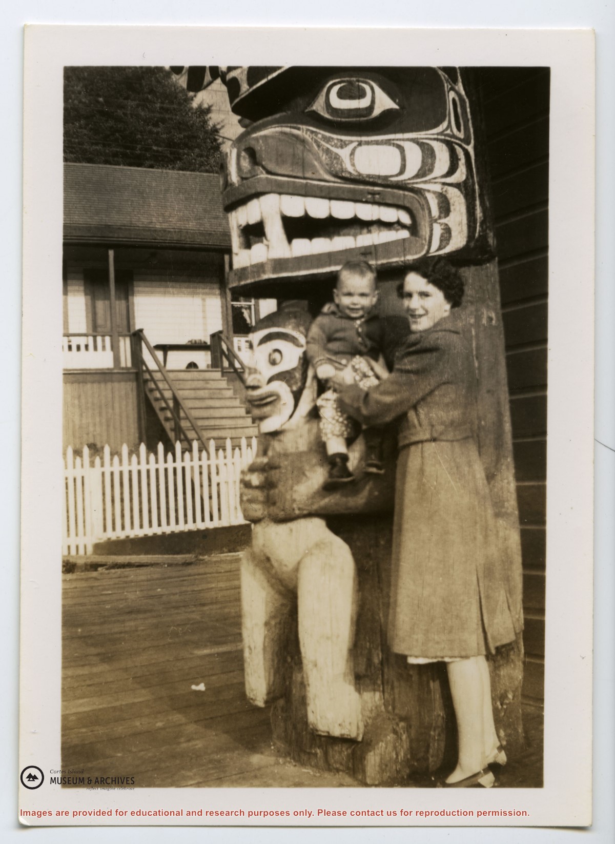
"Robina (Manson) Freeman's picture of baby Magnonie (Magnone?) (6 months old) of Union Bay, Vancouver Island. (Mother a girlhood friend when the Mike Manson family lived there.)
"Robina (Manson) Freeman's picture of baby Magnonie (Magnone?) (6 months old) of Union Bay, Vancouver Island. (Mother a girlhood friend when the Mike Manson family lived there.)


.jpg?width=1200&404=no-img.jpg&watermark=wmk)
.jpg?width=1200&404=no-img.jpg&watermark=wmk)
.jpg?width=180&404=no-img.jpg)