Series consists of a hand drawn map of Cortes Island showing places of interest to visitors, maps showing the location of hydro distribution lines on Cortes Island, maps related to zoning and rezoning on Cortes Island, the Official Settlement Plan, and a drawing showing an engineering plan for the Whaletown ferry terminal.
Series consists of a hand drawn map of Cortes Island showing places of interest to visitors, maps showing the location of hydro distribution lines on Cortes Island, maps related to zoning and rezoning on Cortes Island, the Official Settlement Plan, and a drawing showing an engineering plan for the Whaletown ferry terminal.
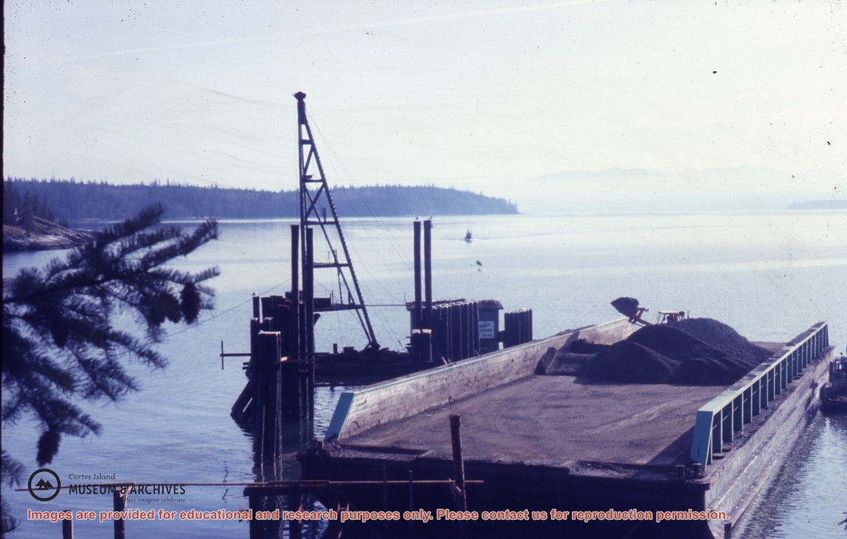
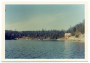
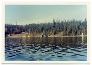
Photograph of Whaletown bay. A crane is behind the ferry dock, which is under construction. The pink house on the right is Otto and Mary Weiler's house.
Photograph of Whaletown bay. A crane is behind the ferry dock, which is under construction. The pink house on the right is Otto and Mary Weiler's house.
File contains a help-wanted ad for ferry positions and the third section of the Campbell River Upper Islander (Nov. 26, 1969) with a photo-story on the inaugural trip of the Cortes ferry. On page 3 is "Cortes Grapevine" with an account of Andy and Susan Ellingsen's wedding.
File contains a help-wanted ad for ferry positions and the third section of the Campbell River Upper Islander (Nov. 26, 1969) with a photo-story on the inaugural trip of the Cortes ferry. On page 3 is "Cortes Grapevine" with an account of Andy and Susan Ellingsen's wedding.
File consists of the Transportation Committee's interpretive report and summary of responses to their survey of island residents regarding the Cortes Island ferry service.
File consists of the Transportation Committee's interpretive report and summary of responses to their survey of island residents regarding the Cortes Island ferry service.
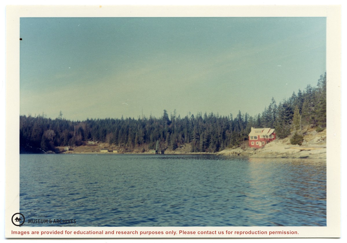
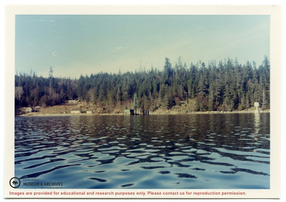
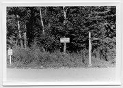
Photograph of Whaletown Bay taken from the water, showing the navigation marker at the entrance, and the houses to the left of the future site of the ferry landing.
Photograph of Whaletown Bay taken from the water, showing the navigation marker at the entrance, and the houses to the left of the future site of the ferry landing.
Series consists of records accumulated by Elmer and May Ellingsen in the course of their active involvement in community affairs. It includes correspondence, bulletins and newsletters from various island organizations about matters such as eco-forestry, parks, local government initiatives, ferry service and electrical service.
Series consists of records accumulated by Elmer and May Ellingsen in the course of their active involvement in community affairs. It includes correspondence, bulletins and newsletters from various island organizations about matters such as eco-forestry, parks, local government initiatives, ferry service and electrical service.