File contains photocopies of original Crown Grants, subsequent title changes and maps for:
To Joseph Gregson: 1926, Crown Grant for fractional W 1/2 of Lot 899 and Lot 901 (between Coulter and Carrington Bays), with a water easement for Wailes
To John Nugent McIllree: 1957, Crown Grant of mineral rights to lots at Coulter Bay surveyed as the "Arrow" and "Bullseye" mineral claims
To Hilda Peterson: 1919, Crown Grant for Lot 878, Carrington Bay, 55 acres
(Files 12 through 16 are from the same envelope.)
File contains a page of notes, and photocopies of a tax sale notice (1938) and list of properties forfeited for non-payment of taxes, Crown Grants and other title information for the following:
William Walter James: 1926, Crown Grant for NW 1/4 of Sec. 38; 156 acres for $1.00; forfeited to Crown in 1939
Tom Albinson: 1919, Crown Grant for Lot 867; forfeited in 1927
Sadie McMurray: 1917, NE 1/4 of Sec. 39; 160 acres for $160
Peter Police: 1925, fractional NW 1/4 of Sec. 39; 103 acres for $1.00
(Files 12 through 16 are from the same envelope.)
File contains a key map which was pasted on the front of the envelope indicating the areas researched for Files 12-16; notes on the titles; photocopies of Crown Grants and subsequent title information for:
BC Buildings Corp: 1982, Crown Grant for Block A of SW 1/4 of Sec. 25 (Highways Maintenance Yard)
District Lot 871 (40 acres between Carrington and Coulter Bays): to James Frederick McManus, 1919
To Ernest Henry Vaughn: 1922, Crown Grant for NE 1/4 and NW 1/4 of NE 1/4 of Sec. 24; SE 1/4 of SW 1/4 and SW 1/4 of SE 1/4 of Sec 31
Herbert Proctor: 1928 for fractional SW 1/4 of Sec. 41, bordering Tork Reserve; 159 acres for $159.00 (orig. Crown Grant to Herbert Proctor in 1922)
To William Cowan: 1937, E 1/2 of SE 1/4 of Sec. 26, 89 acres
(Files 12 through 16 are from the same envelope.)
File contains minutes, agendas and other material relating to meetings of the Klahoose Table, attended by members of CILAC, Klahoose First Nations and government negotiators. It includes material relating to a proposed park at Carrington Bay.
File contains minutes, agendas and other material relating to meetings of the Klahoose Table, attended by members of CILAC, Klahoose First Nations and government negotiators. It includes material relating to a proposed park at Carrington Bay.
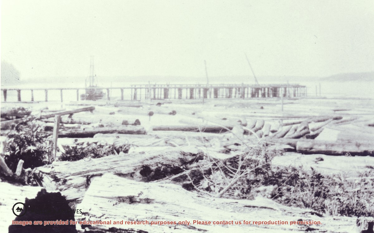
The pier from which the locomotive dumped logs at Stag Bay, Hernando Island. Cortes Island is in the far distance with Twin Islands in the right background. The pile-driver beside the pier and gin poles are arranged to unload logs. There are also poles set at intervals on the beach for hanging booms.
The pier from which the locomotive dumped logs at Stag Bay, Hernando Island. Cortes Island is in the far distance with Twin Islands in the right background. The pile-driver beside the pier and gin poles are arranged to unload logs. There are also poles set at intervals on the beach for hanging booms.
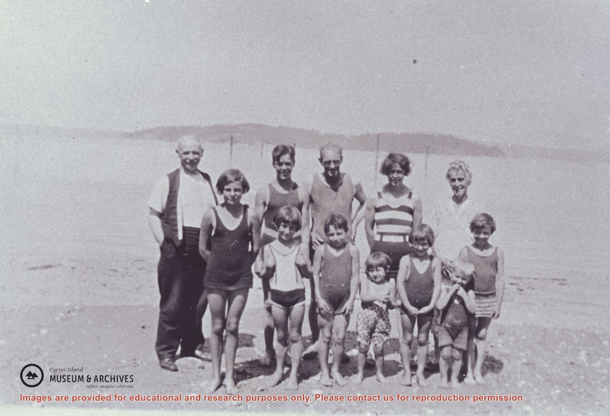
A group of people on the beach at Stag Bay, Hernando Island. Twin Islands can be seen in the background.
Back row, L to R: Mr. Niven, Jim Niven, Dick Parker, Jean Manson, Mrs. Niven
Front row, L to R: Muriel Hurreen, Thelma Campbell, Audrey and Eileen Kenny, Minerva and Lorne Campbell, Dorothy Manson
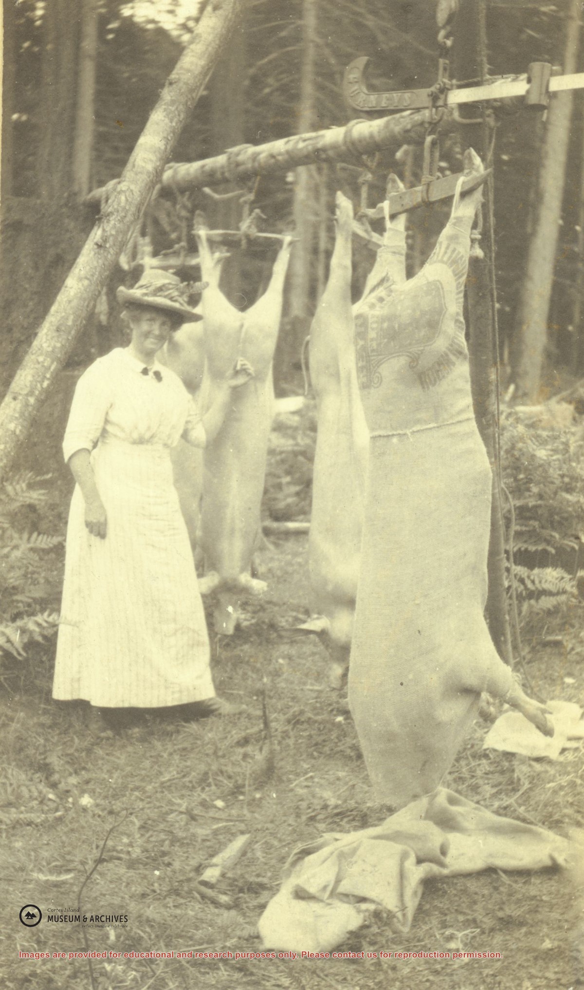
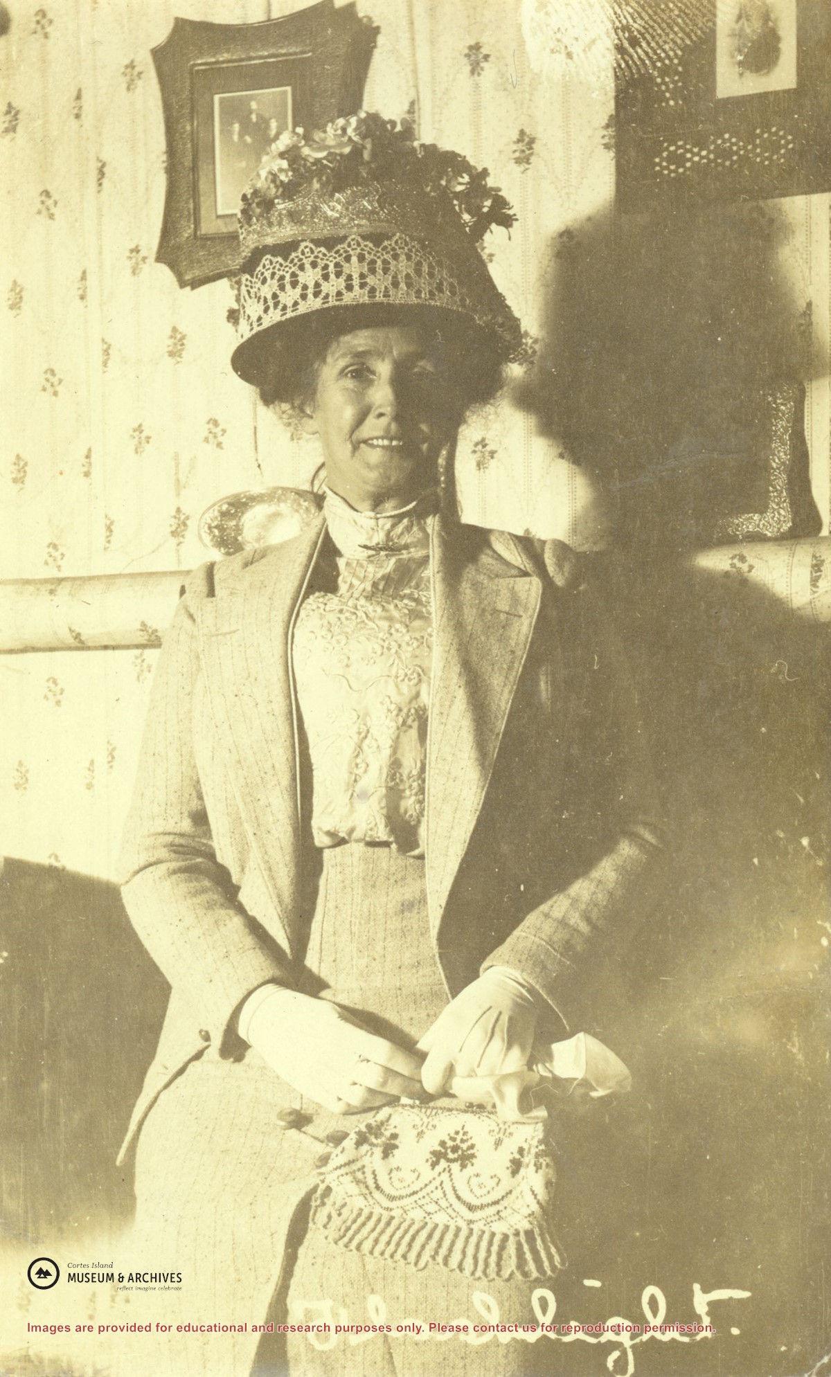
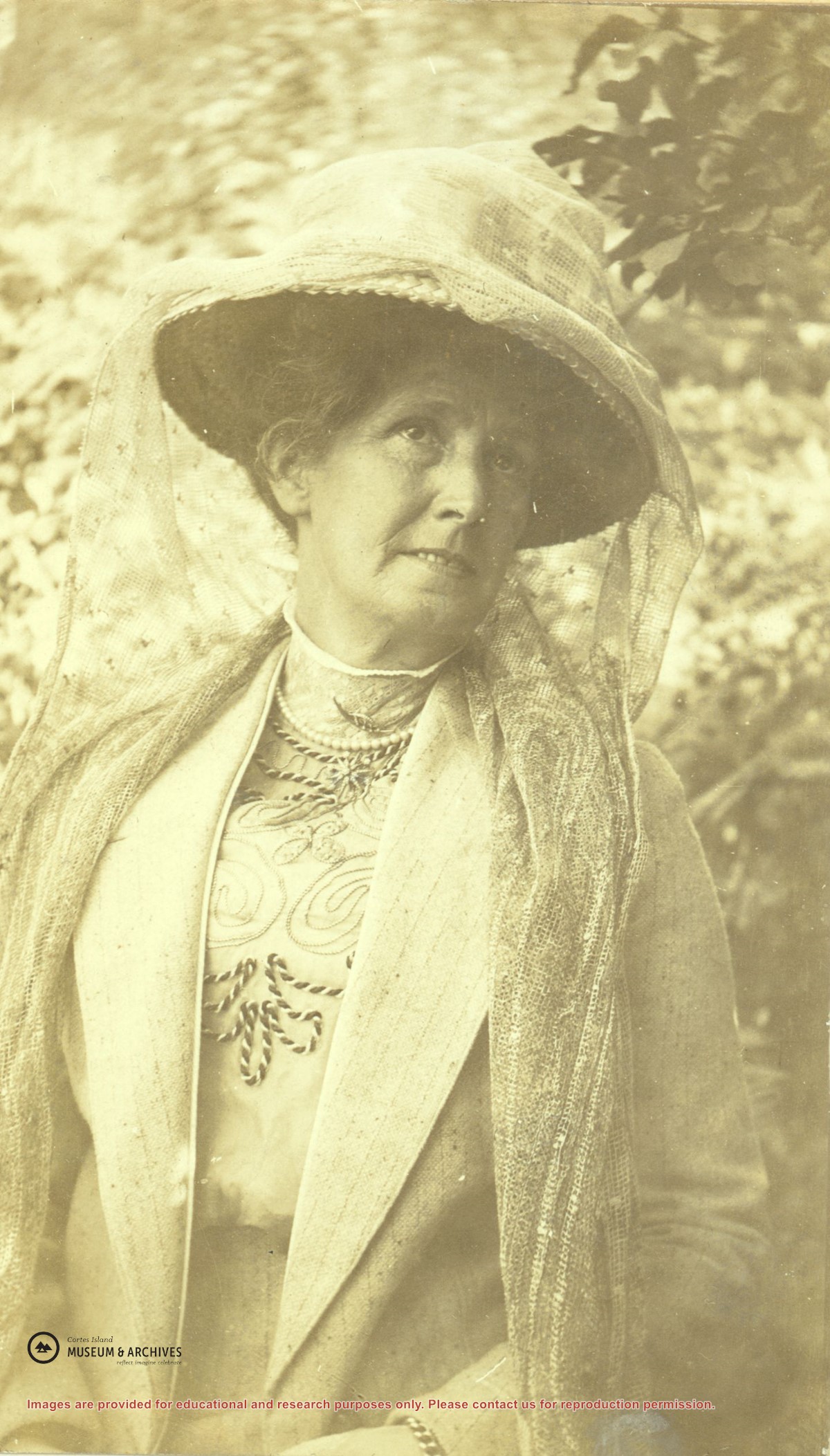
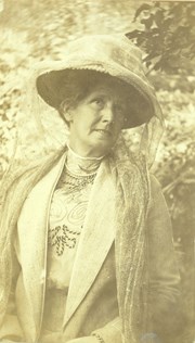
Mrs. Margaret Nixon of Twin Islands. The Nixons moved around 1915 from the Twin Islands to Denman Island where Capt. James Nixon grew up. These pigs were taken from Twin Islands when they moved.
Mrs. Margaret Nixon of Twin Islands. The Nixons moved around 1915 from the Twin Islands to Denman Island where Capt. James Nixon grew up. These pigs were taken from Twin Islands when they moved.
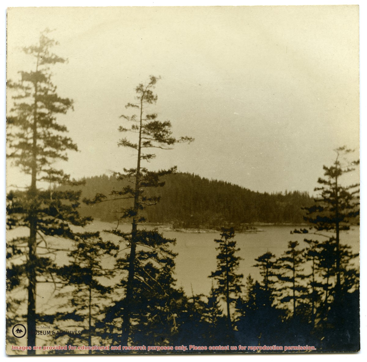
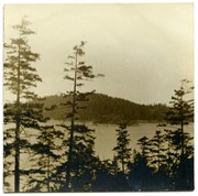
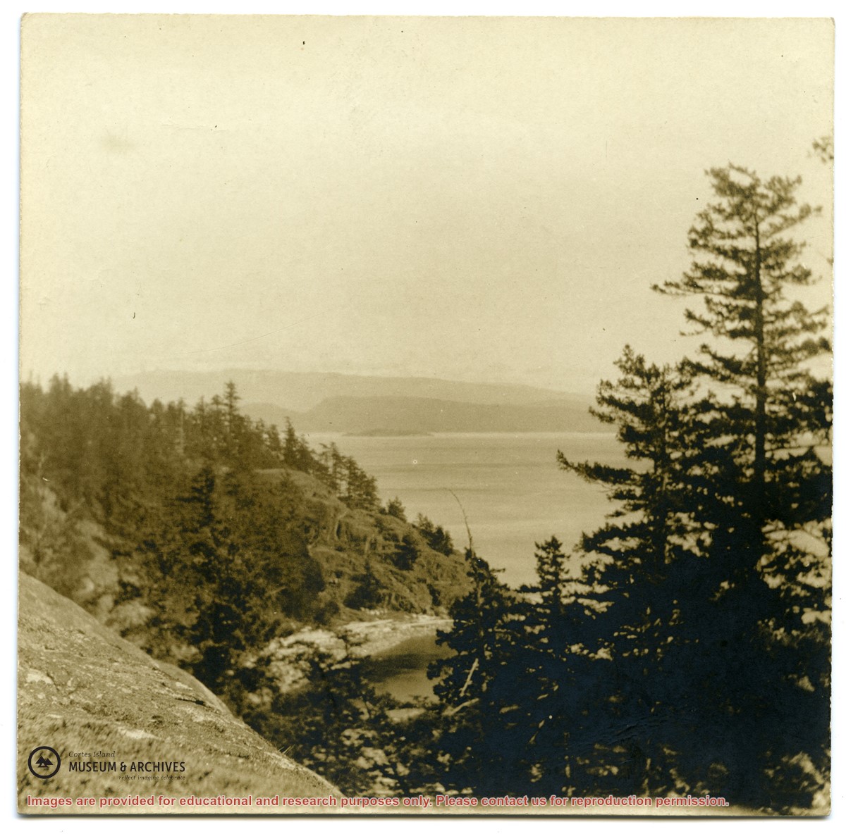
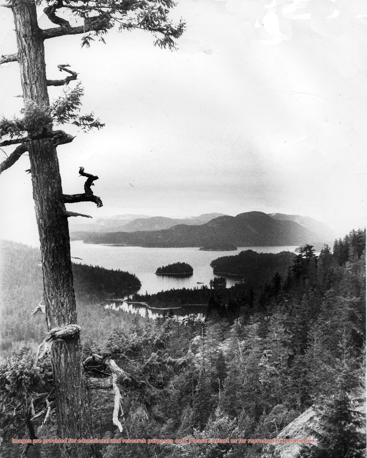
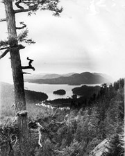
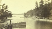
Looking north from Green Mountain over Carrington Lagoon and Carrington Bay (tidal falls in between) across 5 miles of water to Read Island, with a slew of islands to the north.