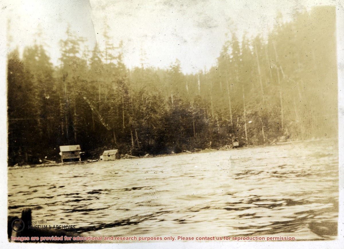
Series consists of records relating to logging on Cortes Island. It includes correspondence, account sheets, Forest Service scale sheets, timber sale maps of Von Donop Creek and Carrington Bay, and copies of Forestry regulations.
Series consists of records relating to logging on Cortes Island. It includes correspondence, account sheets, Forest Service scale sheets, timber sale maps of Von Donop Creek and Carrington Bay, and copies of Forestry regulations.
File consists of records relating to logging done by Freeman and Mathews on crown land near Carrington Bay. It contains account sheets of the log buyer, Forestry scale sheets, statements of expense and maps of the area of logging.
File consists of records relating to logging done by Freeman and Mathews on crown land near Carrington Bay. It contains account sheets of the log buyer, Forestry scale sheets, statements of expense and maps of the area of logging.
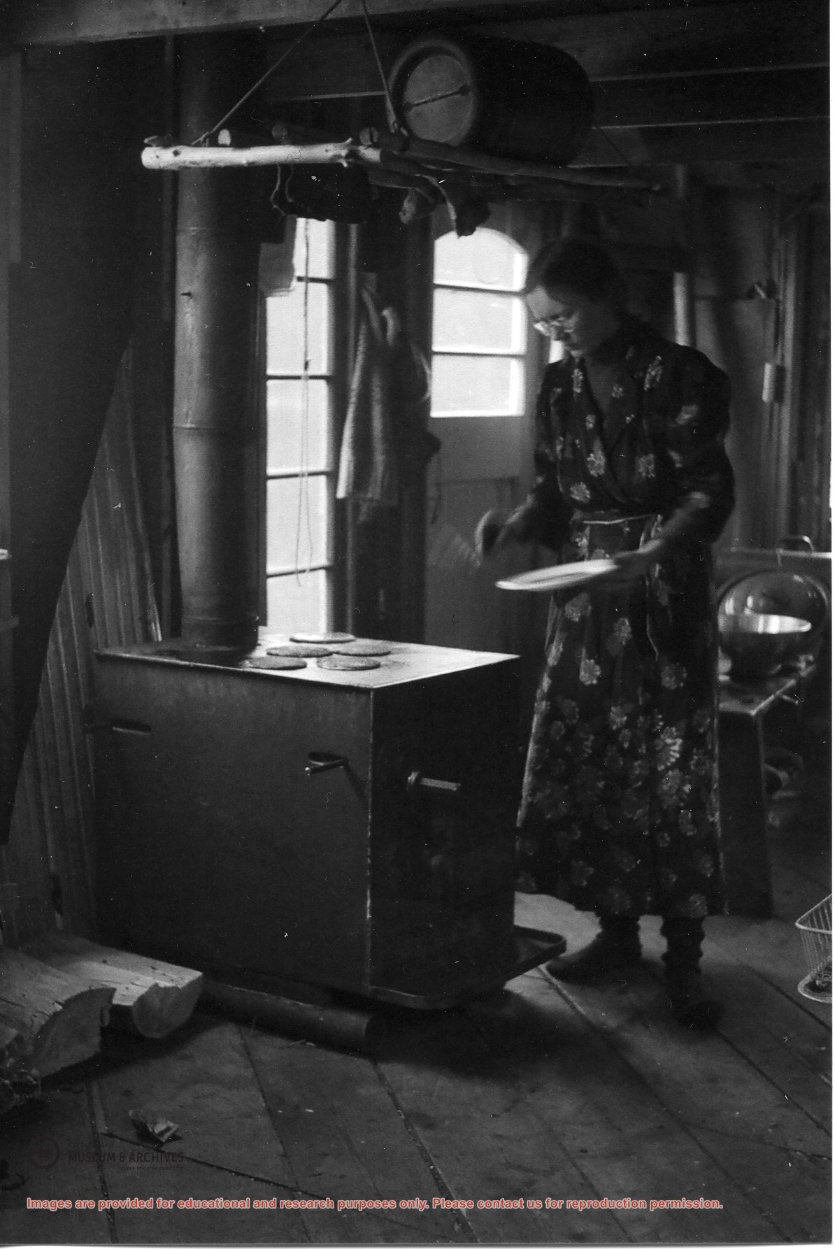
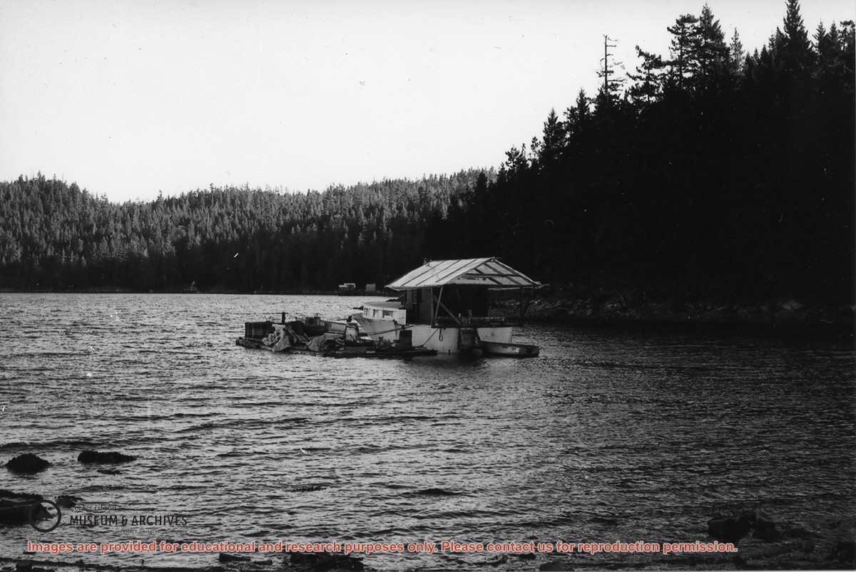
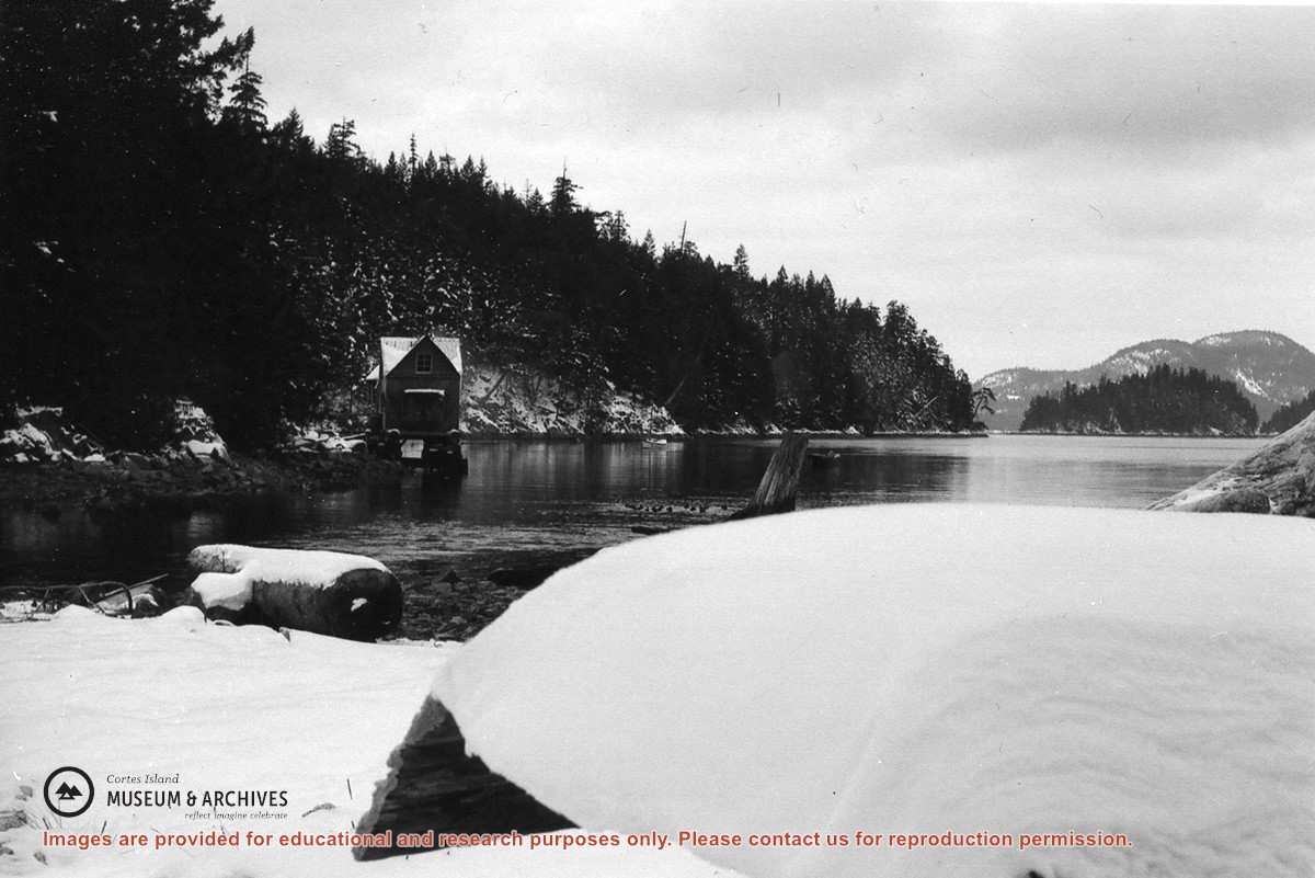
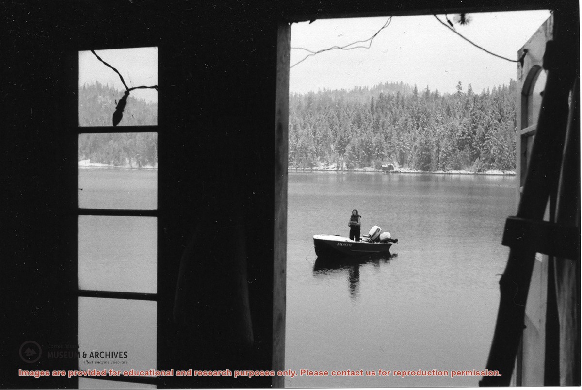
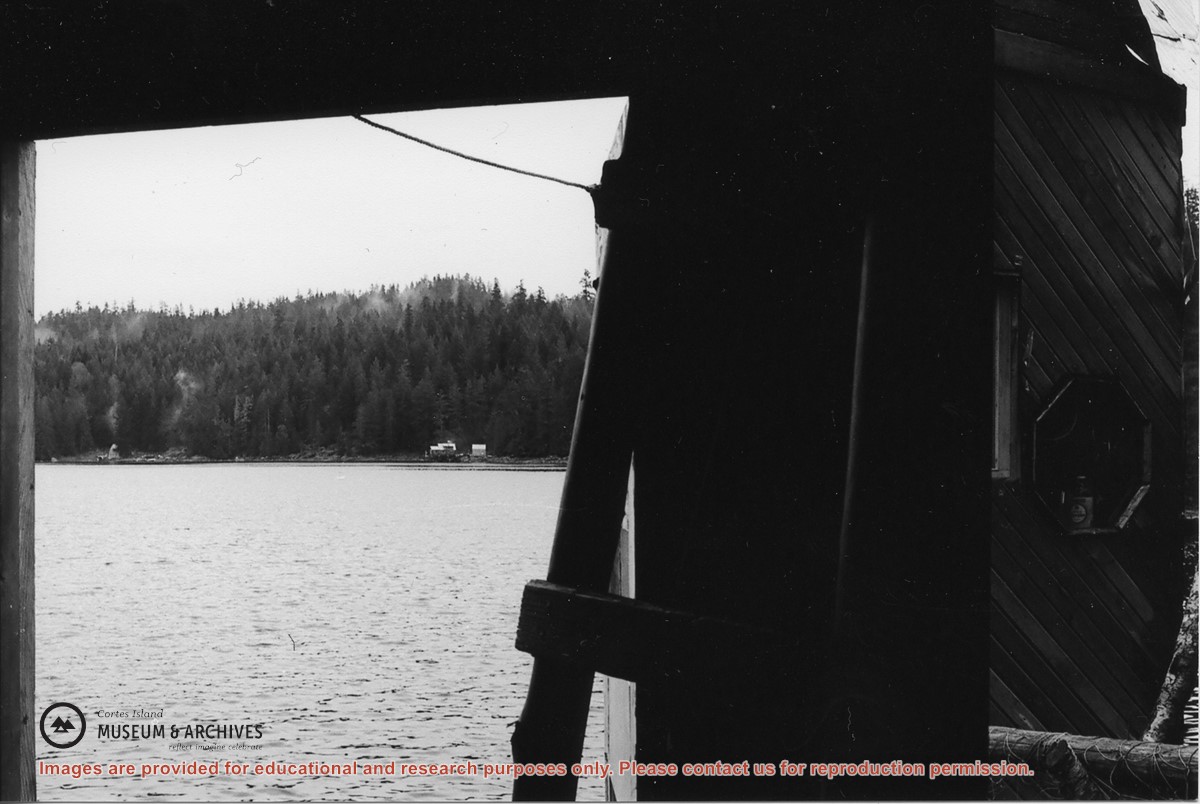
Looking out the door of Jim & Jan’s float house; Alan Bent & Gail Johnson’s house (right), Jason & Kathy’s (left) on the east of Carrington Bay in the distance.
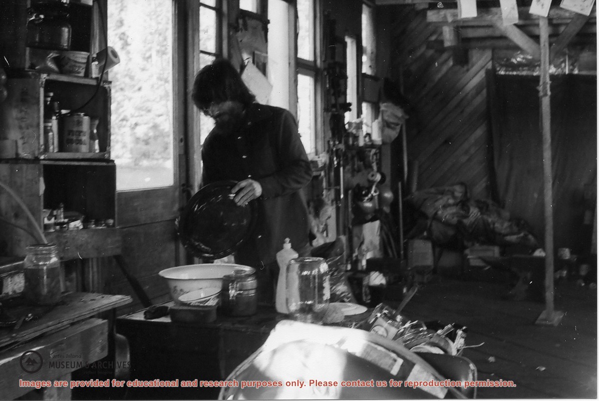
L to R: Kiyoshi Kosky, Justin Stirn, Mike ?, John Shook
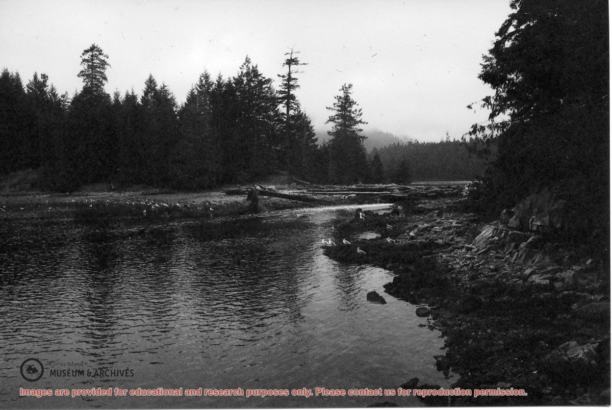
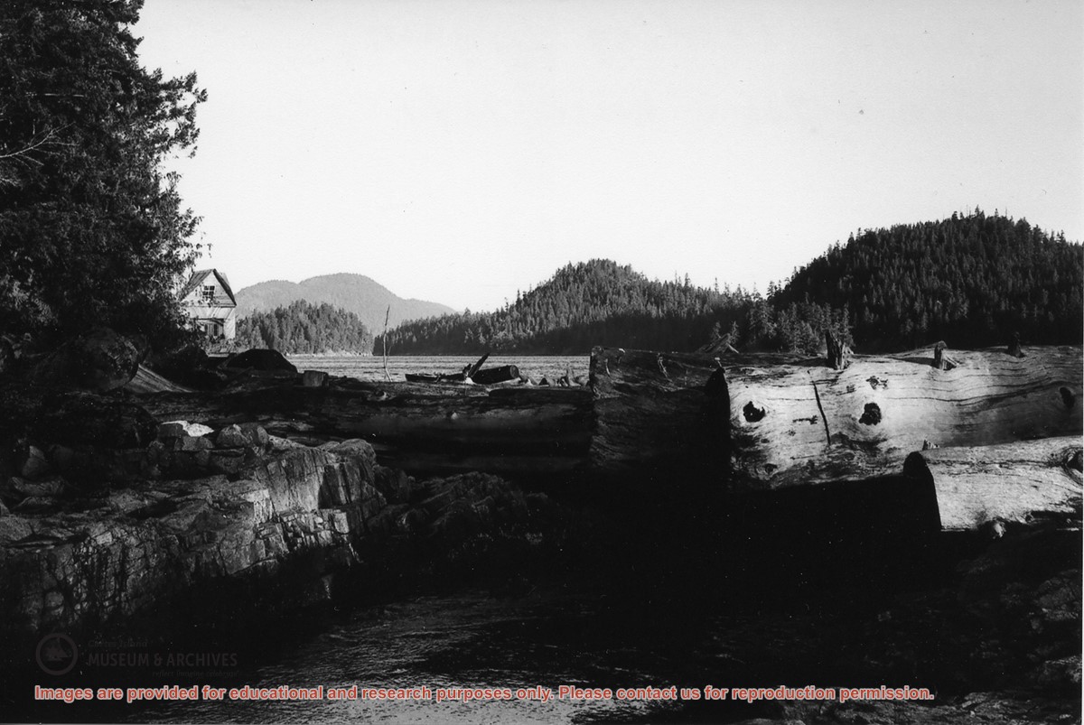
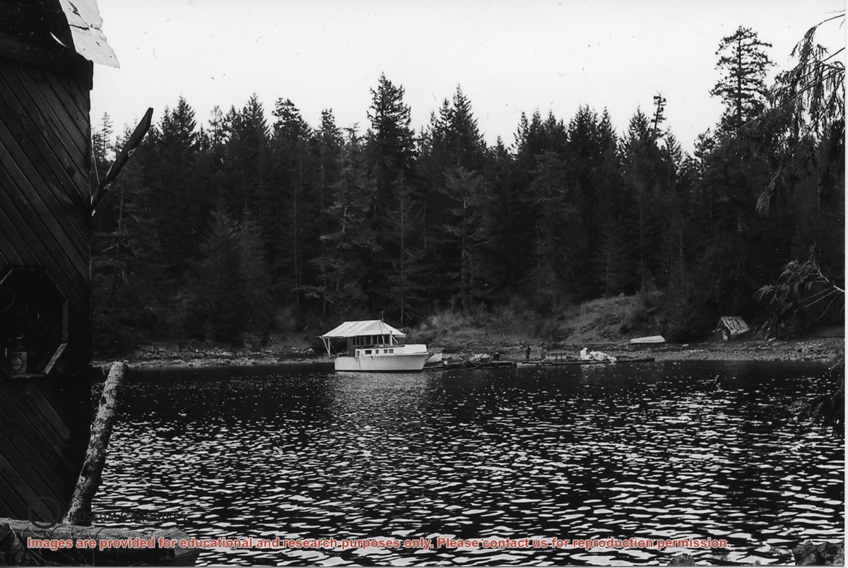
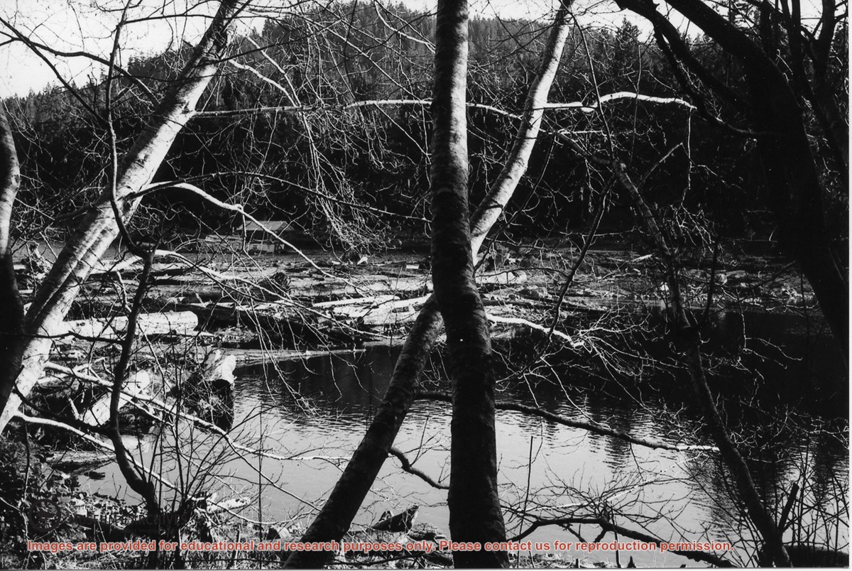
Part of a series of 8 photographs which document a clean-up at the proposed Carrington Bay Park site. The squatters' cabin was built in the 1970s, on the east side of Carrington Bay.
L to R: Kiyoshi Kosky, Justin Stirn, Mike ?, John Shook
Part of a series of 8 photographs which document a clean-up at the proposed Carrington Bay Park site. The squatters' cabin was built in the 1970s, on the east side of Carrington Bay.
File contains photocopies of original Crown Grants, subsequent title changes and maps for:
To Joseph Gregson: 1926, Crown Grant for fractional W 1/2 of Lot 899 and Lot 901 (between Coulter and Carrington Bays), with a water easement for Wailes
To John Nugent McIllree: 1957, Crown Grant of mineral rights to lots at Coulter Bay surveyed as the "Arrow" and "Bullseye" mineral claims
To Hilda Peterson: 1919, Crown Grant for Lot 878, Carrington Bay, 55 acres
(Files 12 through 16 are from the same envelope.)
L to R: John Shook, Justin Stirn, Pierre DeTrey, Kiyoshi Kosky, Cedar DeTrey
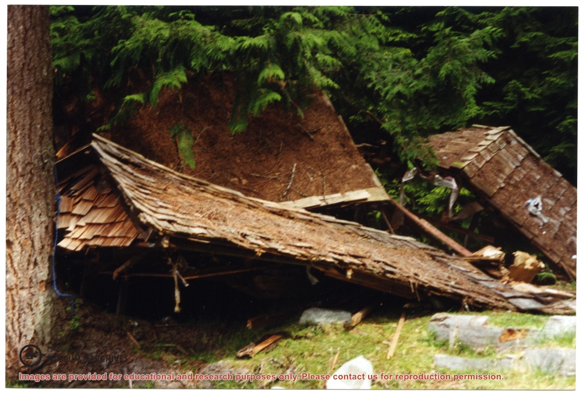
Part of a series of 8 photographs which document a clean-up at the proposed Carrington Bay Park site. The squatters' cabin was built in the 1970s, on the east side of Carrington Bay.
L to R: John Shook, Justin Stirn, Pierre DeTrey, Kiyoshi Kosky, Cedar DeTrey
Part of a series of 8 photographs which document a clean-up at the proposed Carrington Bay Park site. The squatters' cabin was built in the 1970s, on the east side of Carrington Bay.