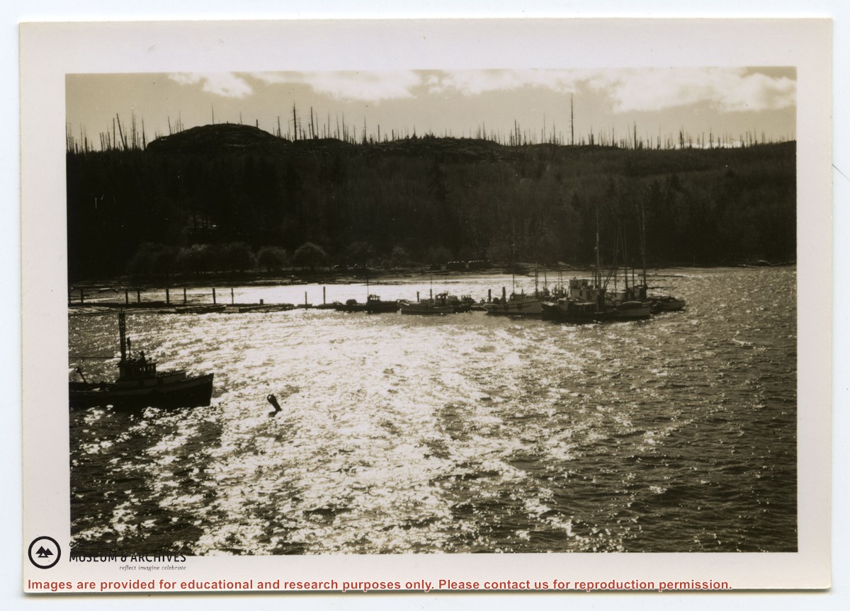
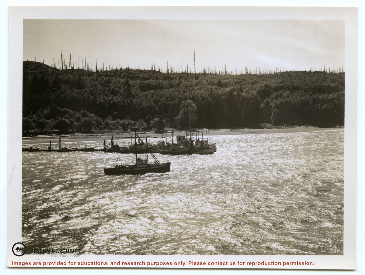
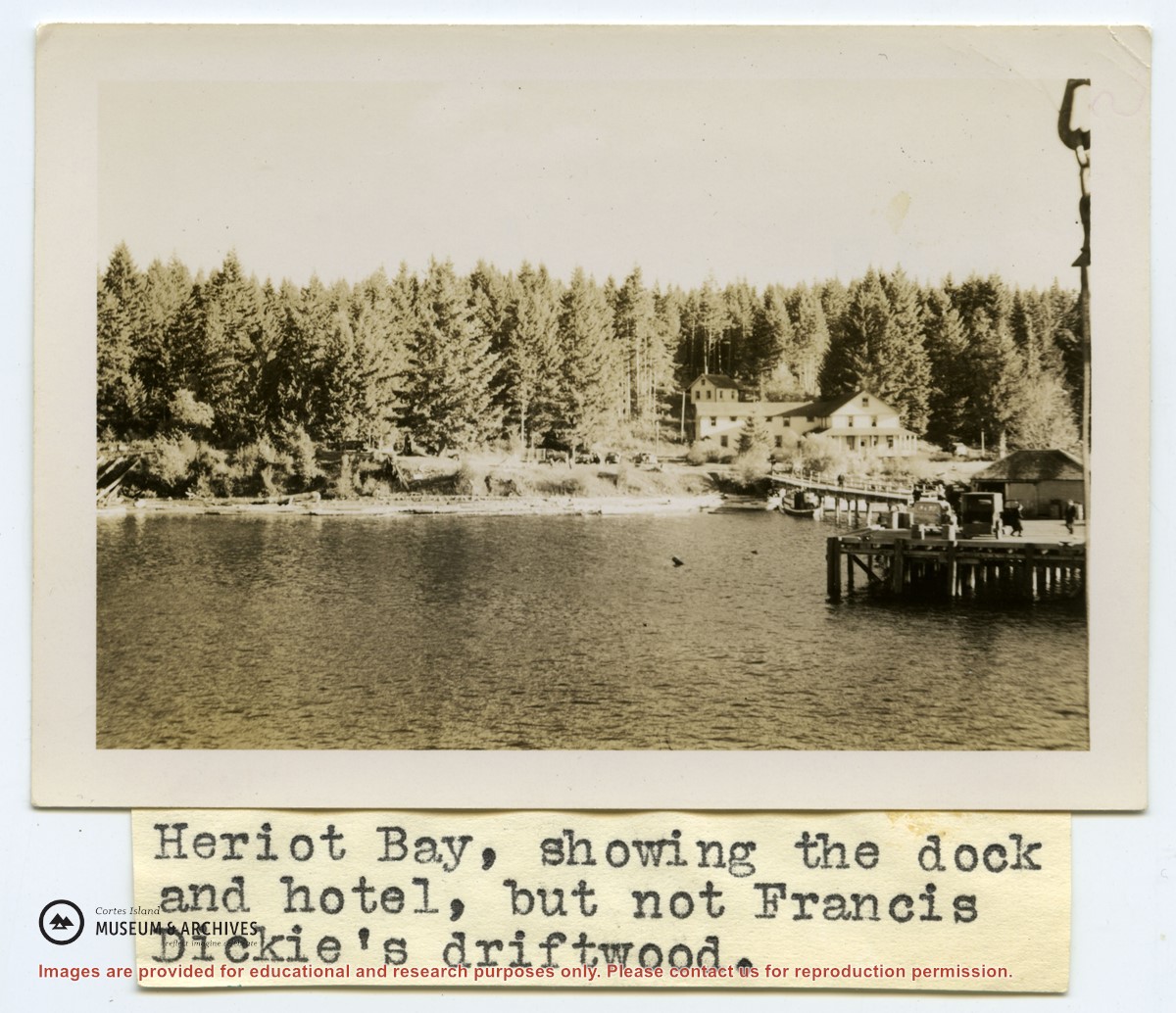
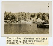
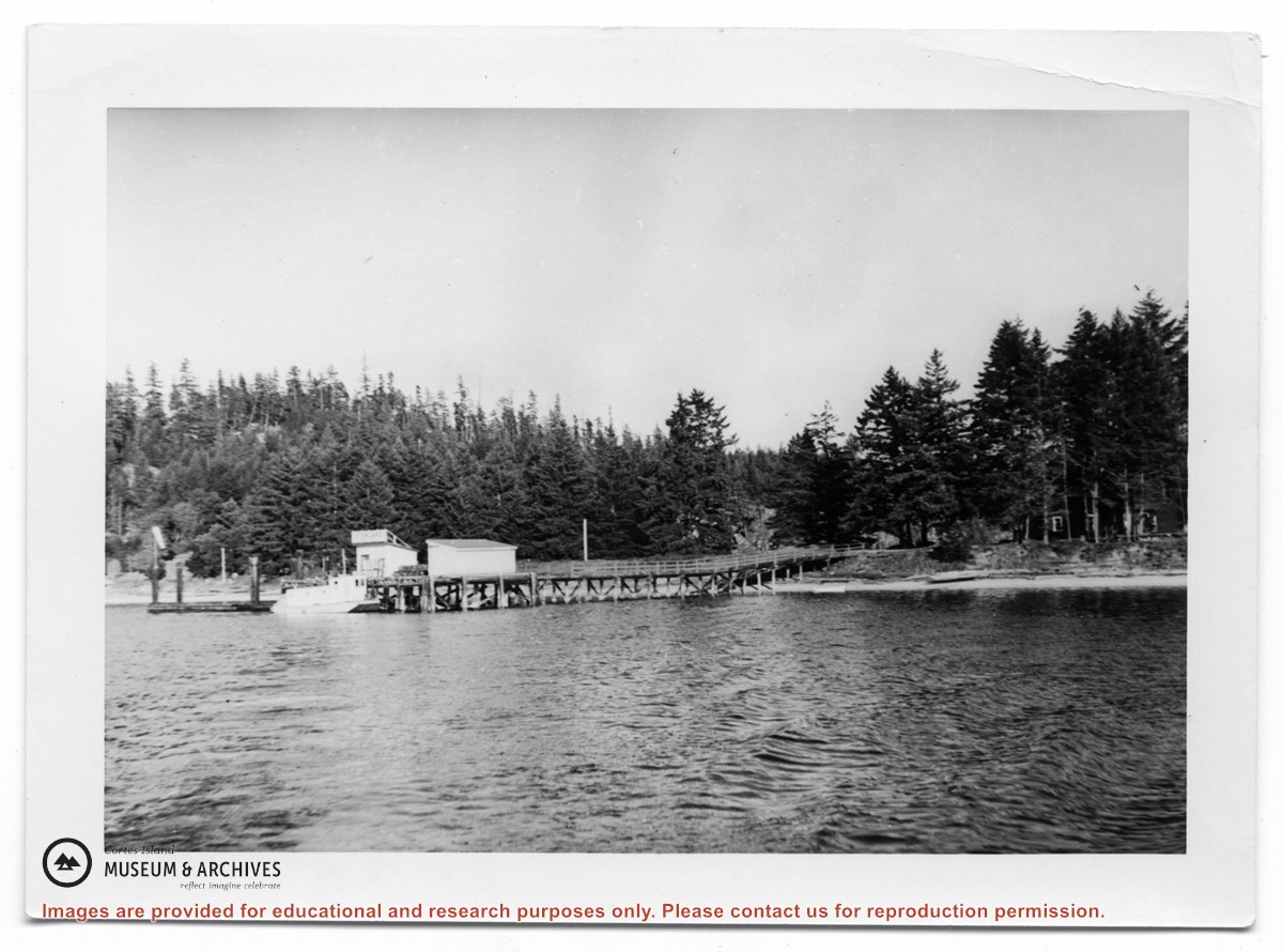
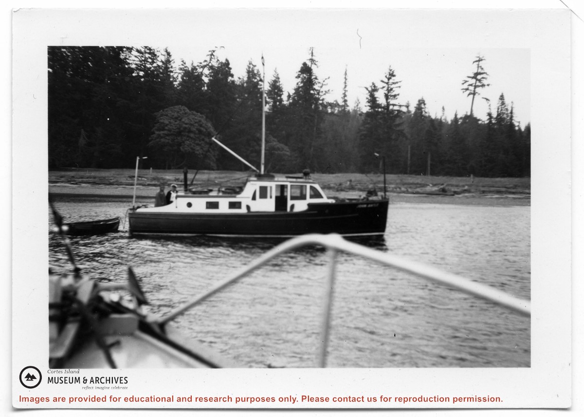
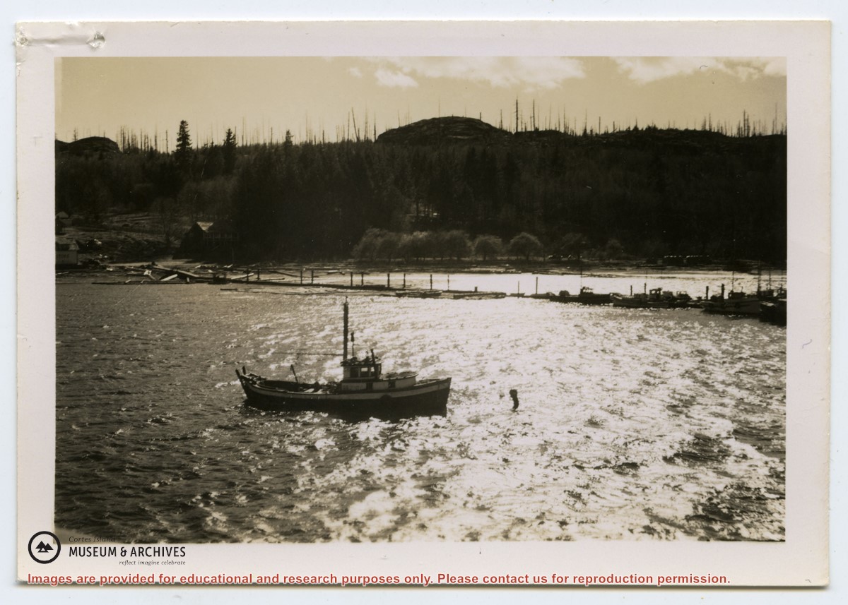
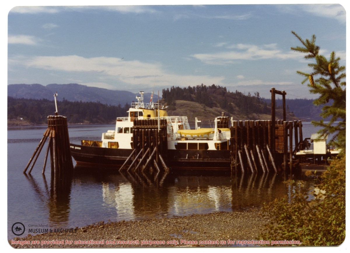
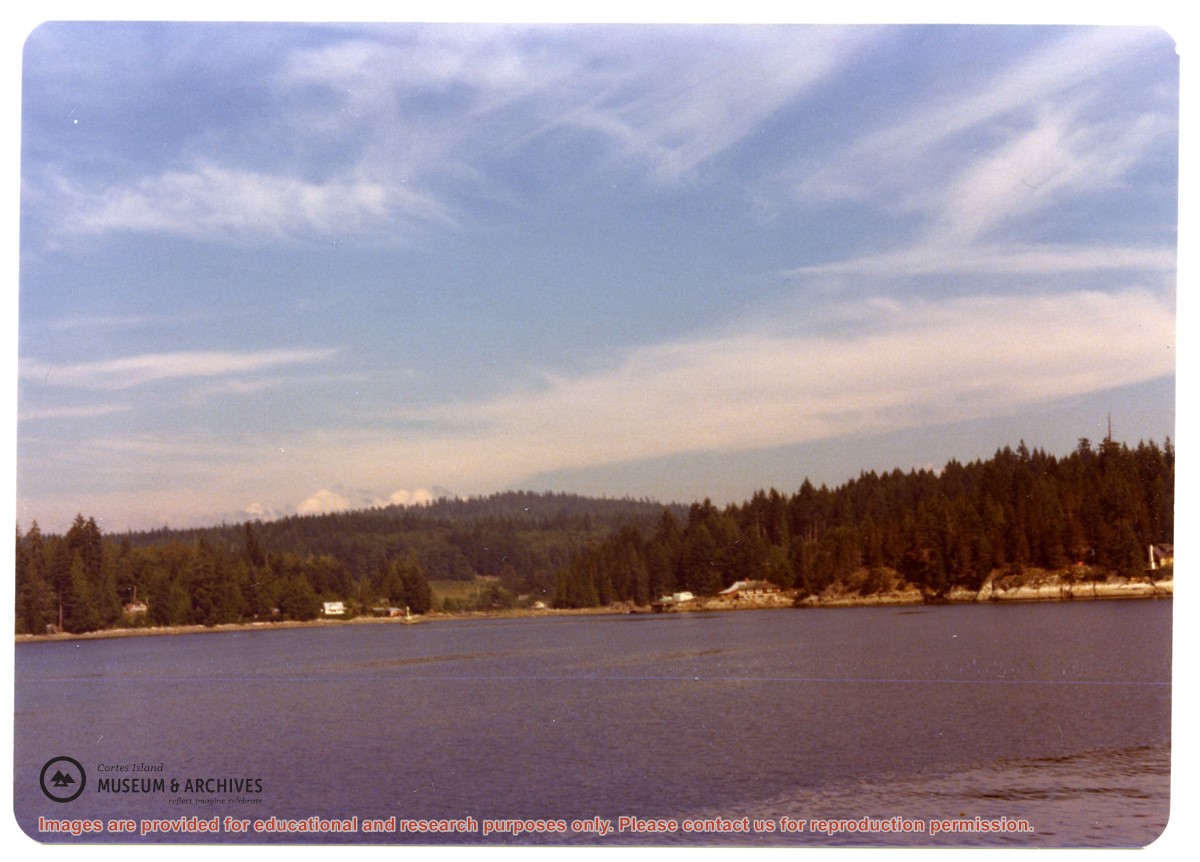
Photograph of the "John Antle" leaving port. An appended caption of the back of A says "The mission ship "Rendezvous" (skipper Rollo Boas) leaving Whaletown her home port." However, the back of B identifies the location as Heriot Bay, and the boat is the "John Antle".
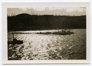
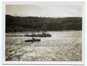
2 photograph prints: b&w; 15.5 x 10.5 (A) and 9 x 6.5 (B)
Scope and Content
Photograph of the "John Antle" leaving port. An appended caption of the back of A says "The mission ship "Rendezvous" (skipper Rollo Boas) leaving Whaletown her home port." However, the back of B identifies the location as Heriot Bay, and the boat is the "John Antle".
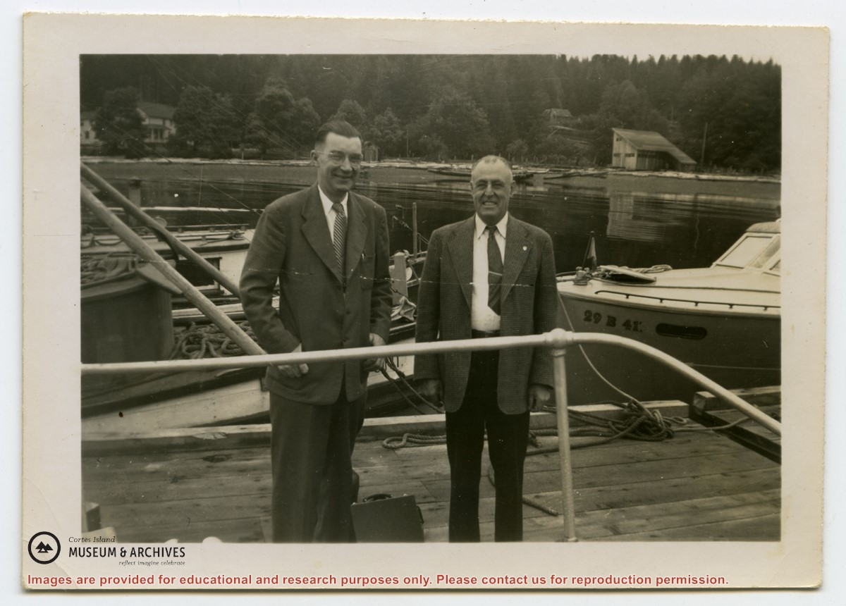
Photograph labelled on the back: "Rendezvous Patrol. Dr. B. Hall and Dr. R. Rose, the dentist, with their black bags, getting ready to go aboard the "Rendezvous". They are being taken to Whaletown for their monthly visit to the Mission clinic."
Photograph labelled on the back: "Rendezvous Patrol. Dr. B. Hall and Dr. R. Rose, the dentist, with their black bags, getting ready to go aboard the "Rendezvous". They are being taken to Whaletown for their monthly visit to the Mission clinic."
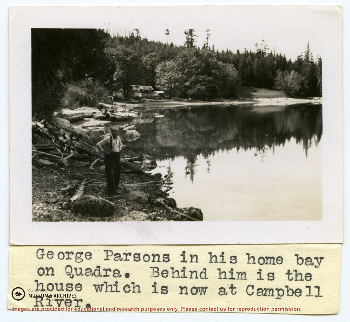
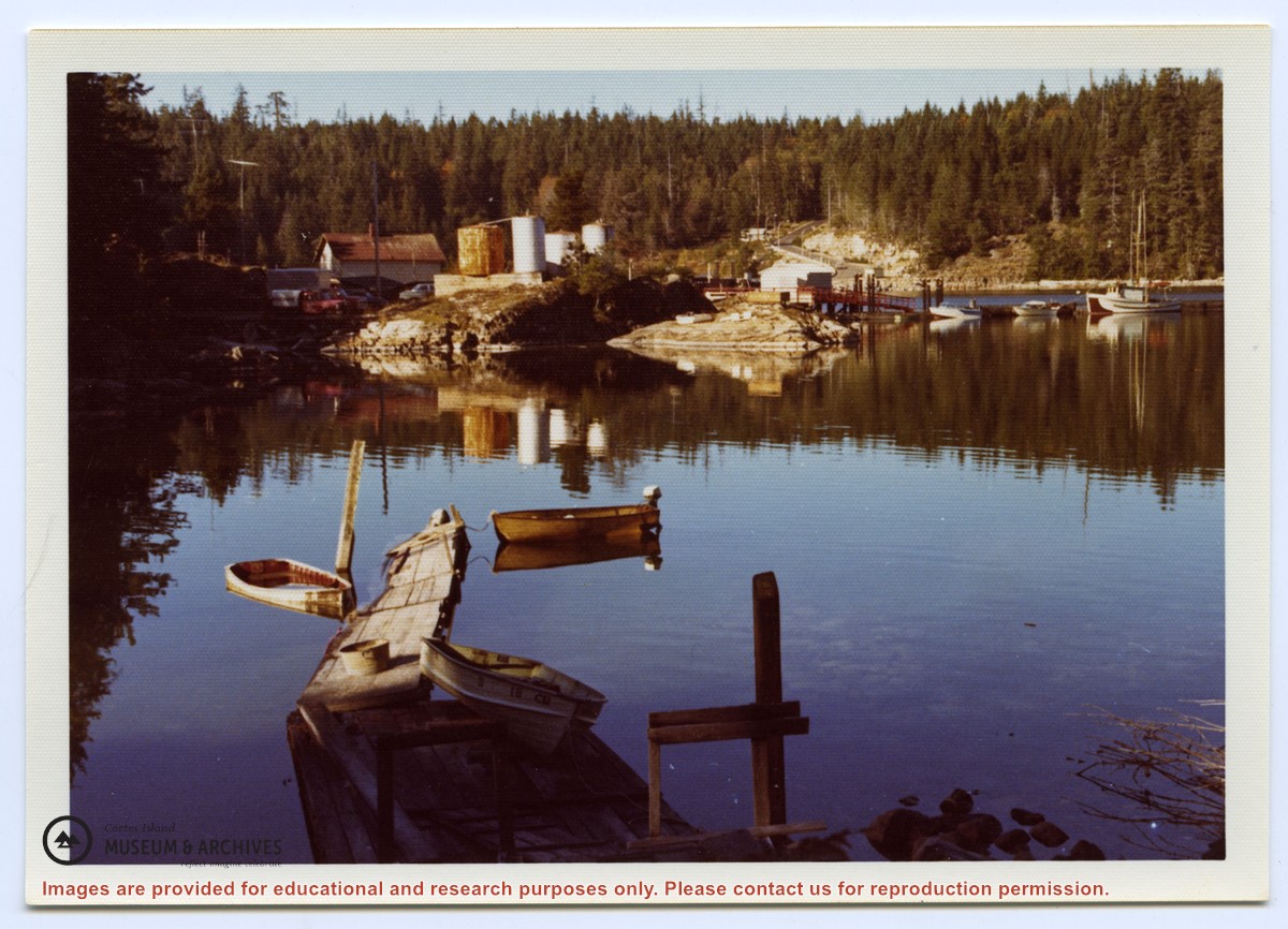
Photograph of "George Parsons in his home bay on Quadra. Behind him is the house which is now at Campbell River." (Gilean Douglas' typed caption, taped to photo)
2 photograph prints: b&w; 9 x 6.5 cm and 17 x 12 cm
Scope and Content
Photograph of "George Parsons in his home bay on Quadra. Behind him is the house which is now at Campbell River." (Gilean Douglas' typed caption, taped to photo)
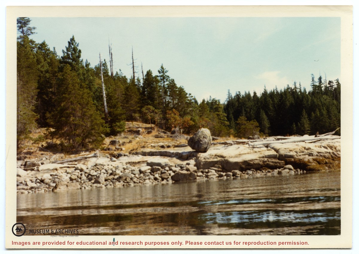
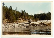
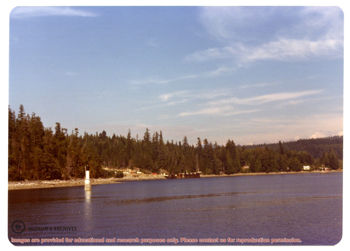
Photograph of a large rock, balanced on the smooth rocks just above the water. Location is between Channel Rock and Whaletown, near the present-day site of the Sherwood's house.
Photograph of a large rock, balanced on the smooth rocks just above the water. Location is between Channel Rock and Whaletown, near the present-day site of the Sherwood's house.
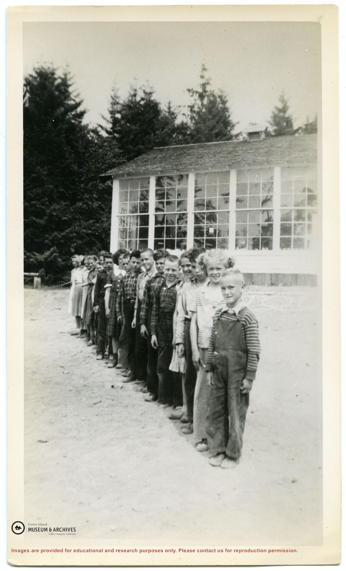
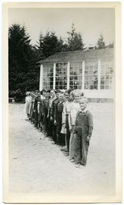
Photograph of the pupils of the Whaletown school lined up in front of the school, which was located at the gravel pit on the road to Coulter Bay.
For a list of the pupils' names, their parents, and where they lived, see Folder #?? .
2 photograph prints: b&w; 12 x 18 cm & 11.5 x 19 cm
Scope and Content
Photograph of the pupils of the Whaletown school lined up in front of the school, which was located at the gravel pit on the road to Coulter Bay.
For a list of the pupils' names, their parents, and where they lived, see Folder #?? .
File contains photocopies of original Crown Grants, subsequent title changes and maps for:
To Joseph Gregson: 1926, Crown Grant for fractional W 1/2 of Lot 899 and Lot 901 (between Coulter and Carrington Bays), with a water easement for Wailes
To John Nugent McIllree: 1957, Crown Grant of mineral rights to lots at Coulter Bay surveyed as the "Arrow" and "Bullseye" mineral claims
To Hilda Peterson: 1919, Crown Grant for Lot 878, Carrington Bay, 55 acres
(Files 12 through 16 are from the same envelope.)