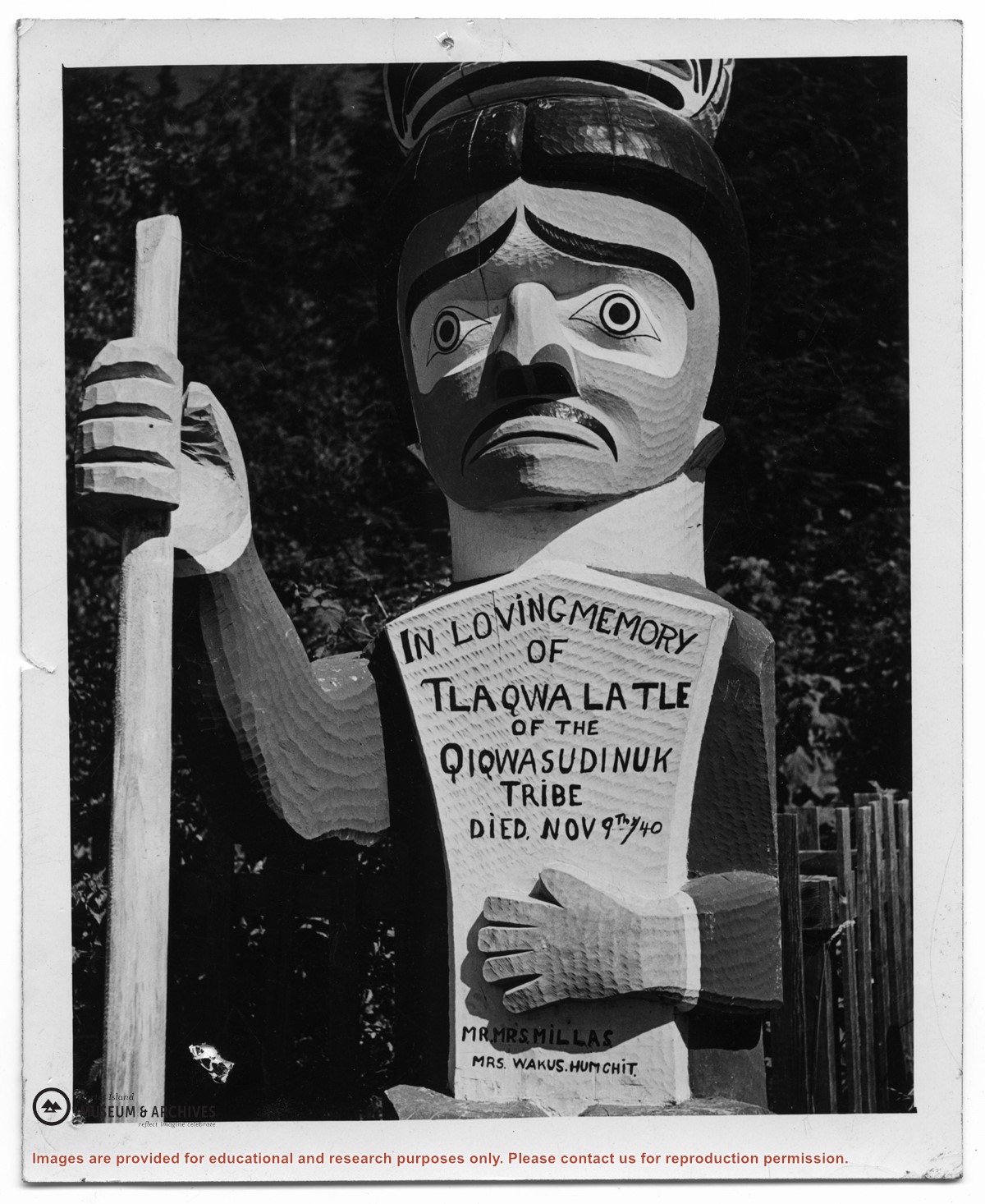
Photograph of a grave totem with a carved tablet at Alert Bay. Greene's title is "An Indian totem and tomb-stone in an Indian graveyard at Alret Bay, BC."
Photograph of a grave totem with a carved tablet at Alert Bay. Greene's title is "An Indian totem and tomb-stone in an Indian graveyard at Alret Bay, BC."
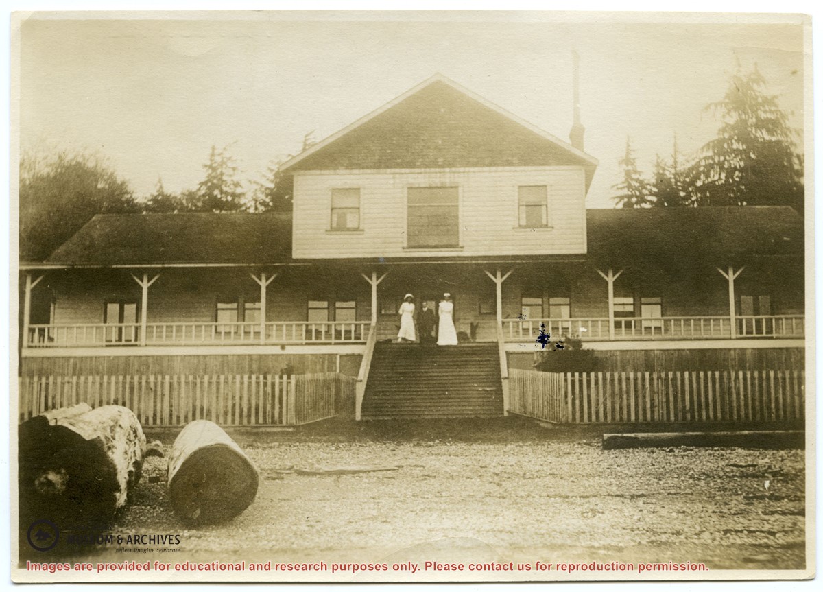
Photograph of St. George's Hospital in Alert Bay, five years after it was built. (see "Anderson, Doris, "The Columbia Is Coming"; Gray's Publishing, 1982, photo inset)
Photograph of St. George's Hospital in Alert Bay, five years after it was built. (see "Anderson, Doris, "The Columbia Is Coming"; Gray's Publishing, 1982, photo inset)
File contains photocopies of original Crown Grants, subsequent title changes and maps for:
To Joseph Gregson: 1926, Crown Grant for fractional W 1/2 of Lot 899 and Lot 901 (between Coulter and Carrington Bays), with a water easement for Wailes
To John Nugent McIllree: 1957, Crown Grant of mineral rights to lots at Coulter Bay surveyed as the "Arrow" and "Bullseye" mineral claims
To Hilda Peterson: 1919, Crown Grant for Lot 878, Carrington Bay, 55 acres
(Files 12 through 16 are from the same envelope.)
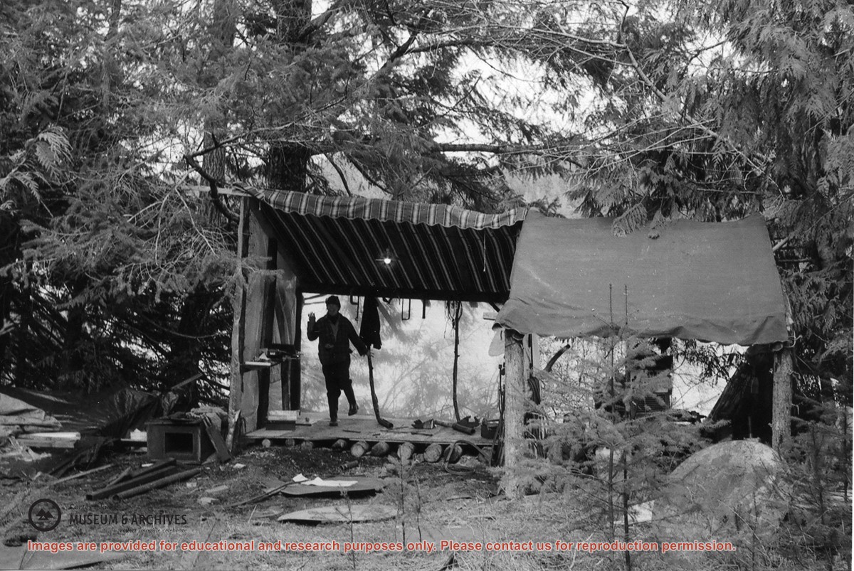
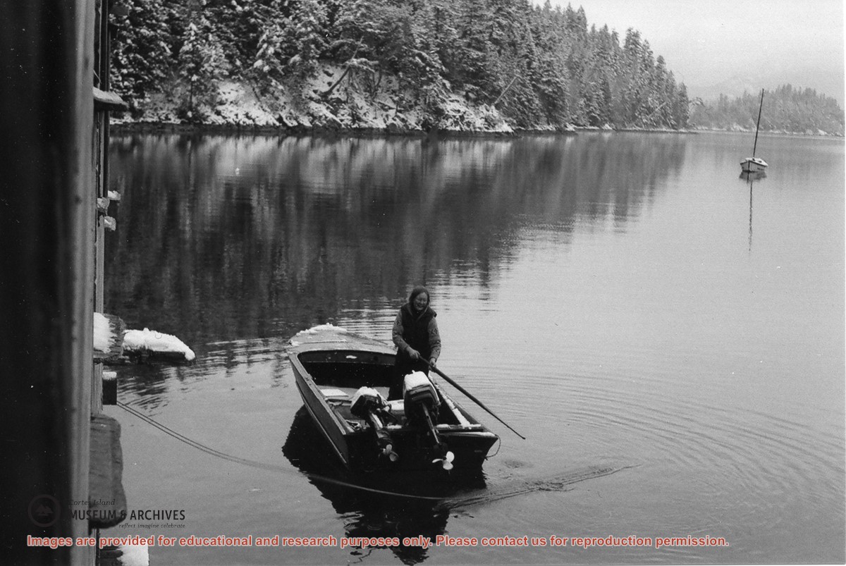
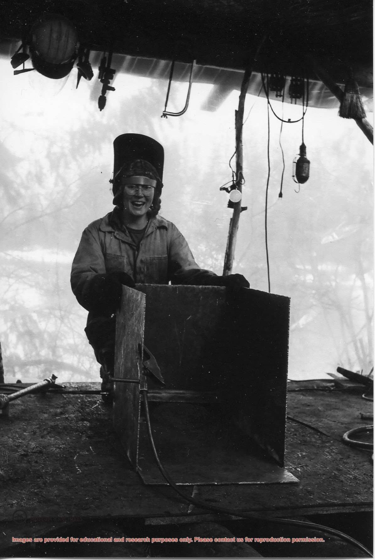
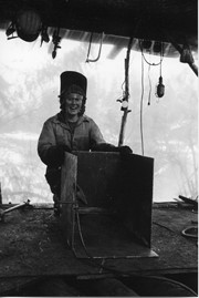
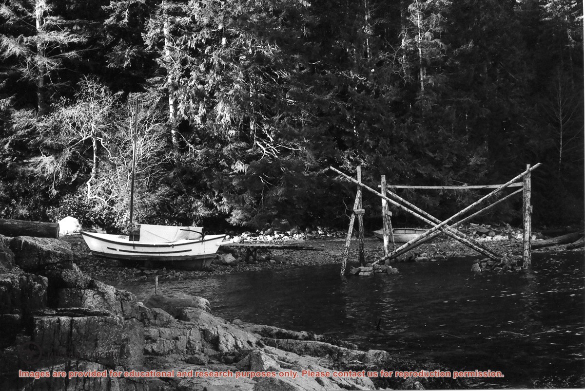
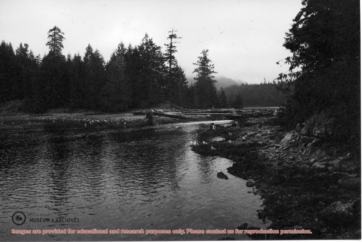
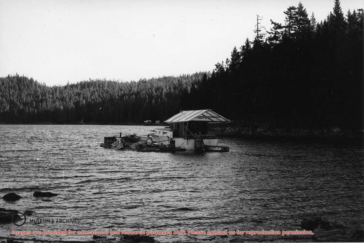
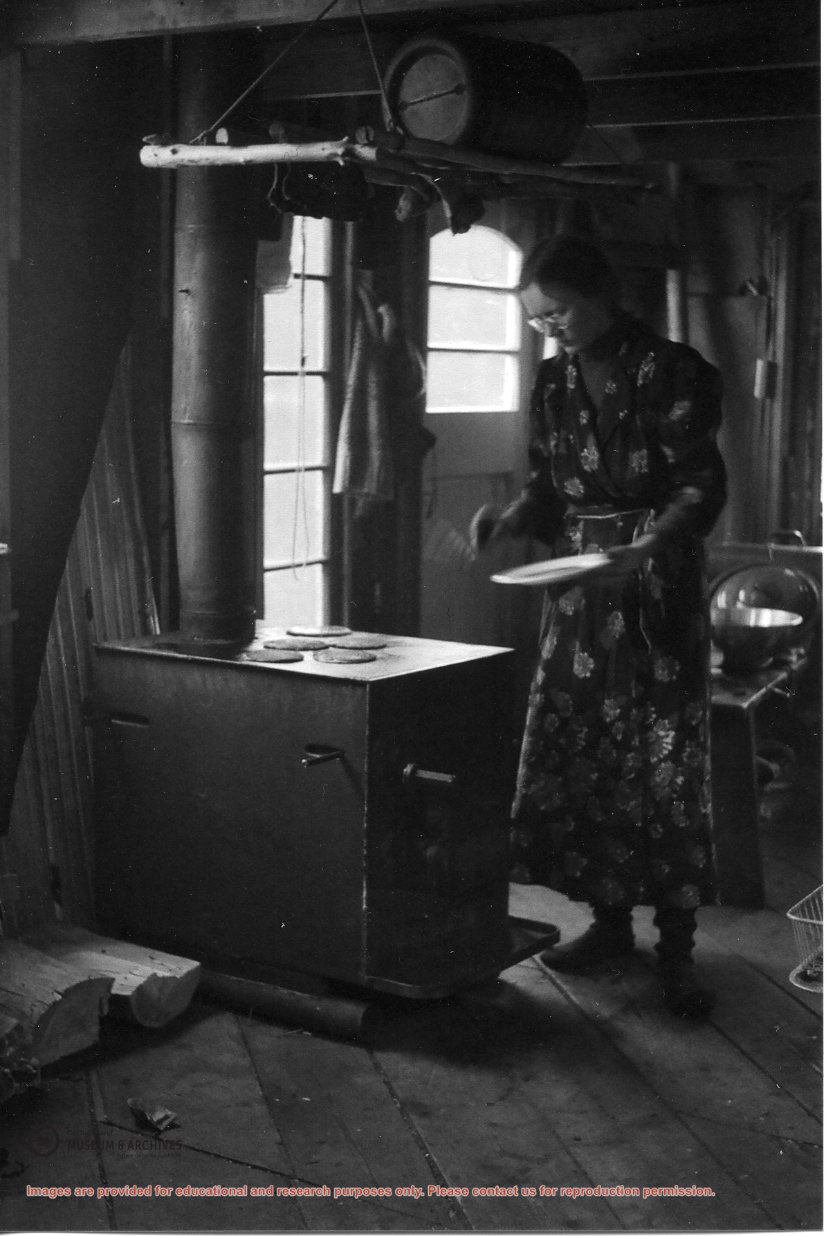
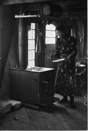
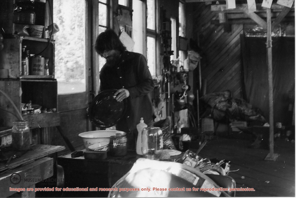
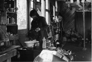
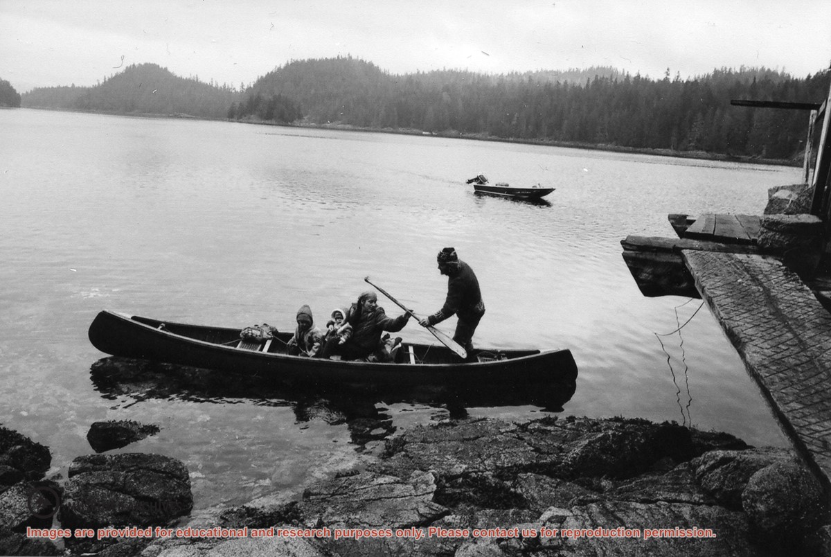
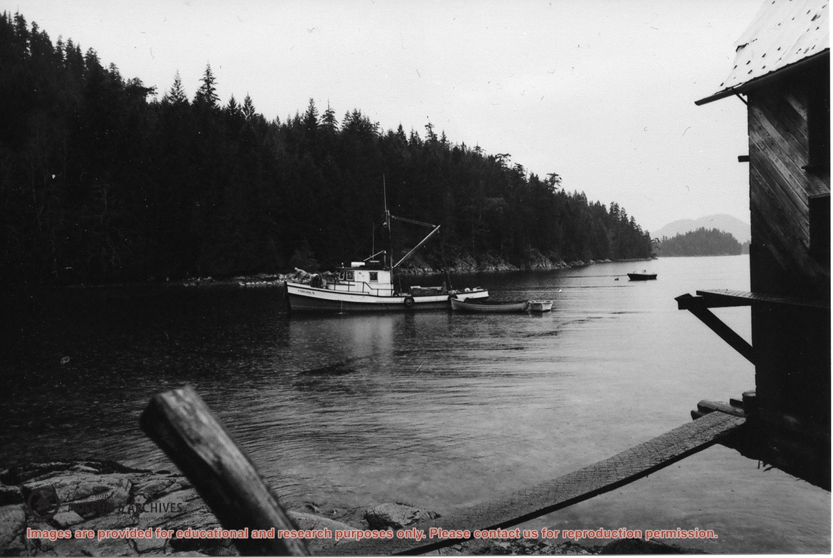
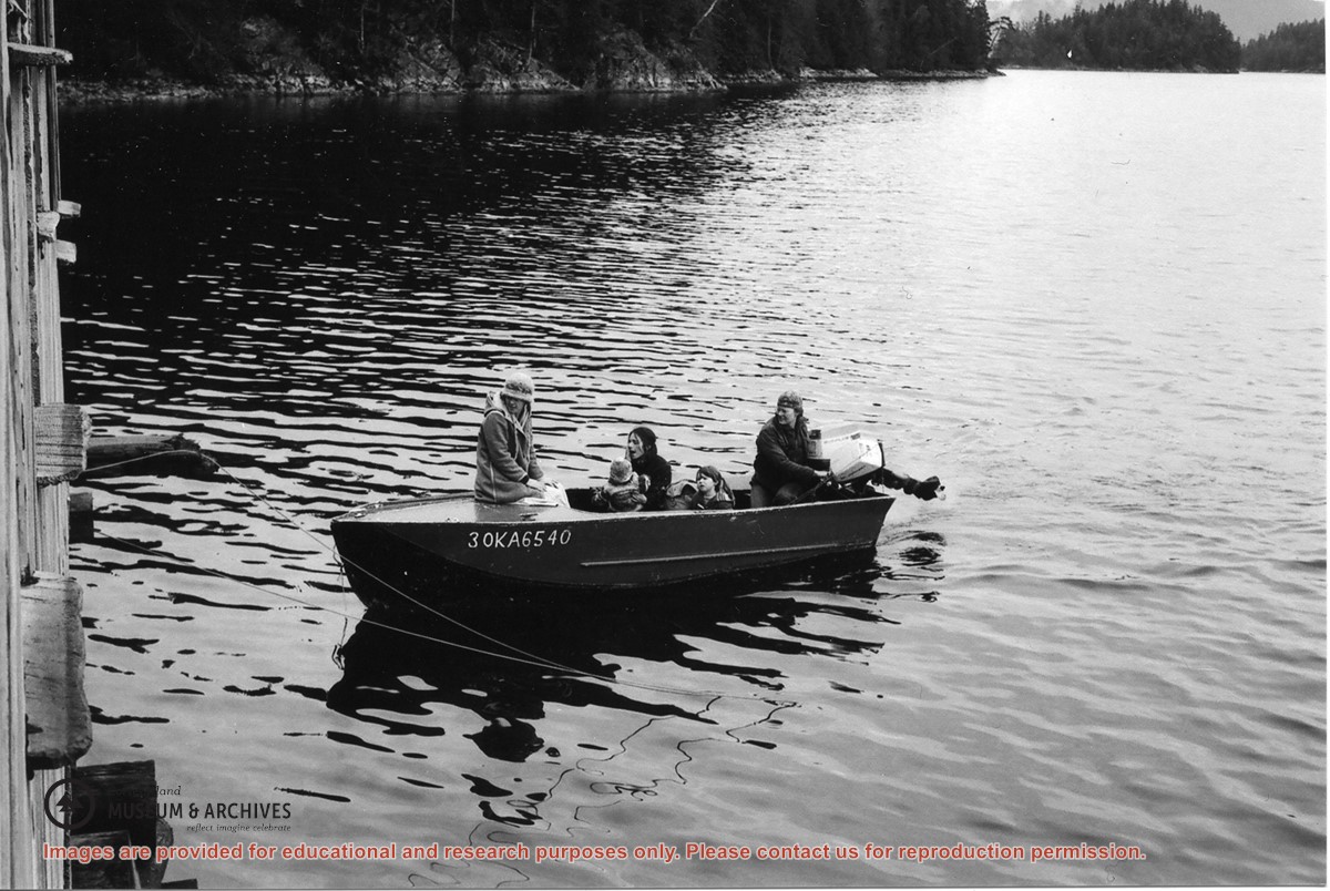
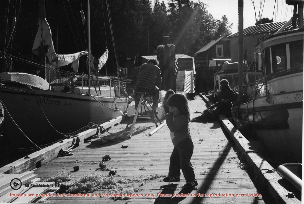
File contains scanned copies of photographs donated by Jim Palmer for the Carrington Bay exhibit in 2009, depicting the community living in Carrington Bay in the 1970s and 1980s.
Jim Palmer and Jan Gemmel lived in a house on the west side of the log jam between Carrington Lagoon and Carrington Bay. Jim built the house at the property of John and Anna Gregg in Manson's Landing and relocated it onto pilings in Carrington Bay. Jim and Jan later fabricated steel pontoons for it. In 1985 the house was moved onto the floats and towed into Gorge Harbour by Bob Thompson with his boat "Sutil Chief".
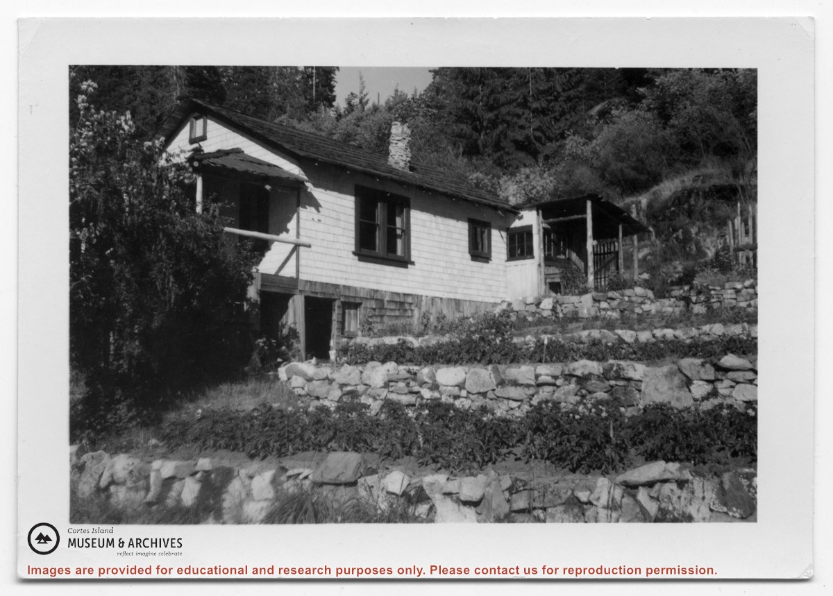
Photograph of a white house with rock-walled terraces to its right. This was Amy and Scotty McKenzie's float house, moved from Von Donop Inlet in 1951. Amy was daughter of Ruth and Henry Byers, who lived in the “Grey House” west of the ferry landing. (The "Grey House" was later moved to Squirrel Cove next to the Store.) The McKenzie house was between the Grey House and the ferry landing; it was torn down ca. 1974. The terraces may still be seen in the small park next to the ferry landing.
Photograph of a white house with rock-walled terraces to its right. This was Amy and Scotty McKenzie's float house, moved from Von Donop Inlet in 1951. Amy was daughter of Ruth and Henry Byers, who lived in the “Grey House” west of the ferry landing. (The "Grey House" was later moved to Squirrel Cove next to the Store.) The McKenzie house was between the Grey House and the ferry landing; it was torn down ca. 1974. The terraces may still be seen in the small park next to the ferry landing.
File contains text of the Memorandum of Understanding developed by Cortes Ecoforestry Society and Klahoose First Nation. Also includes twenty-nine (29) color photographic prints and eleven (11) color inkjet prints, which depict the signing of the MoU at Squirrel Cove and an Ecoforestry display at Smelt Bay. Photographs are stored in Photo Box #3.
File contains text of the Memorandum of Understanding developed by Cortes Ecoforestry Society and Klahoose First Nation. Also includes twenty-nine (29) color photographic prints and eleven (11) color inkjet prints, which depict the signing of the MoU at Squirrel Cove and an Ecoforestry display at Smelt Bay. Photographs are stored in Photo Box #3.
File contains a page of notes, and photocopies of a tax sale notice (1938) and list of properties forfeited for non-payment of taxes, Crown Grants and other title information for the following:
William Walter James: 1926, Crown Grant for NW 1/4 of Sec. 38; 156 acres for $1.00; forfeited to Crown in 1939
Tom Albinson: 1919, Crown Grant for Lot 867; forfeited in 1927
Sadie McMurray: 1917, NE 1/4 of Sec. 39; 160 acres for $160
Peter Police: 1925, fractional NW 1/4 of Sec. 39; 103 acres for $1.00
(Files 12 through 16 are from the same envelope.)