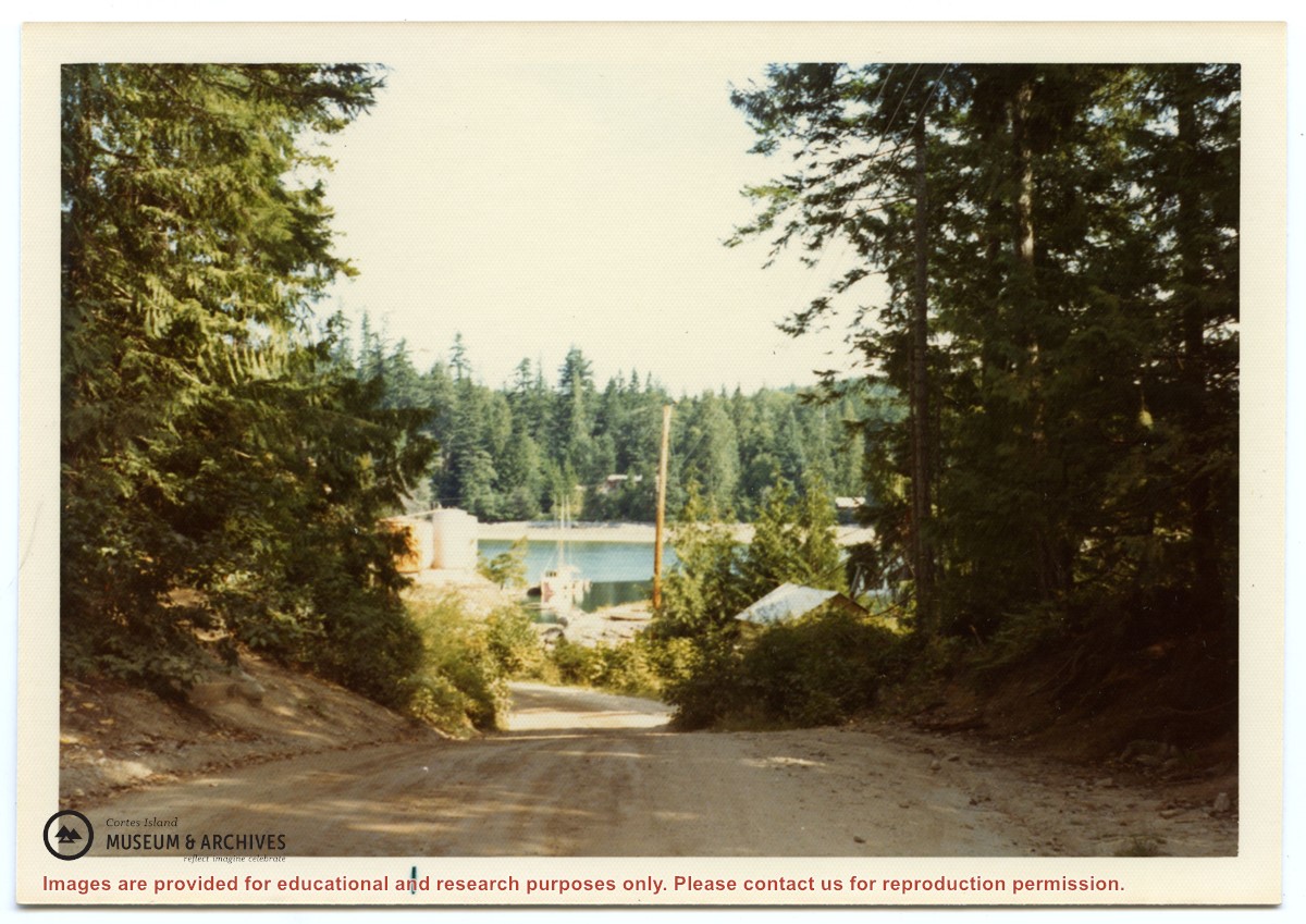
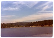
Photograph of the road going down into Whaletown, taken from just past St. John the Baptist Church in Whaletown. The library is to the right, and the fuel tanks on the rocks beside the store can be seen. Note, the road is not yet paved.
Photograph of the road going down into Whaletown, taken from just past St. John the Baptist Church in Whaletown. The library is to the right, and the fuel tanks on the rocks beside the store can be seen. Note, the road is not yet paved.
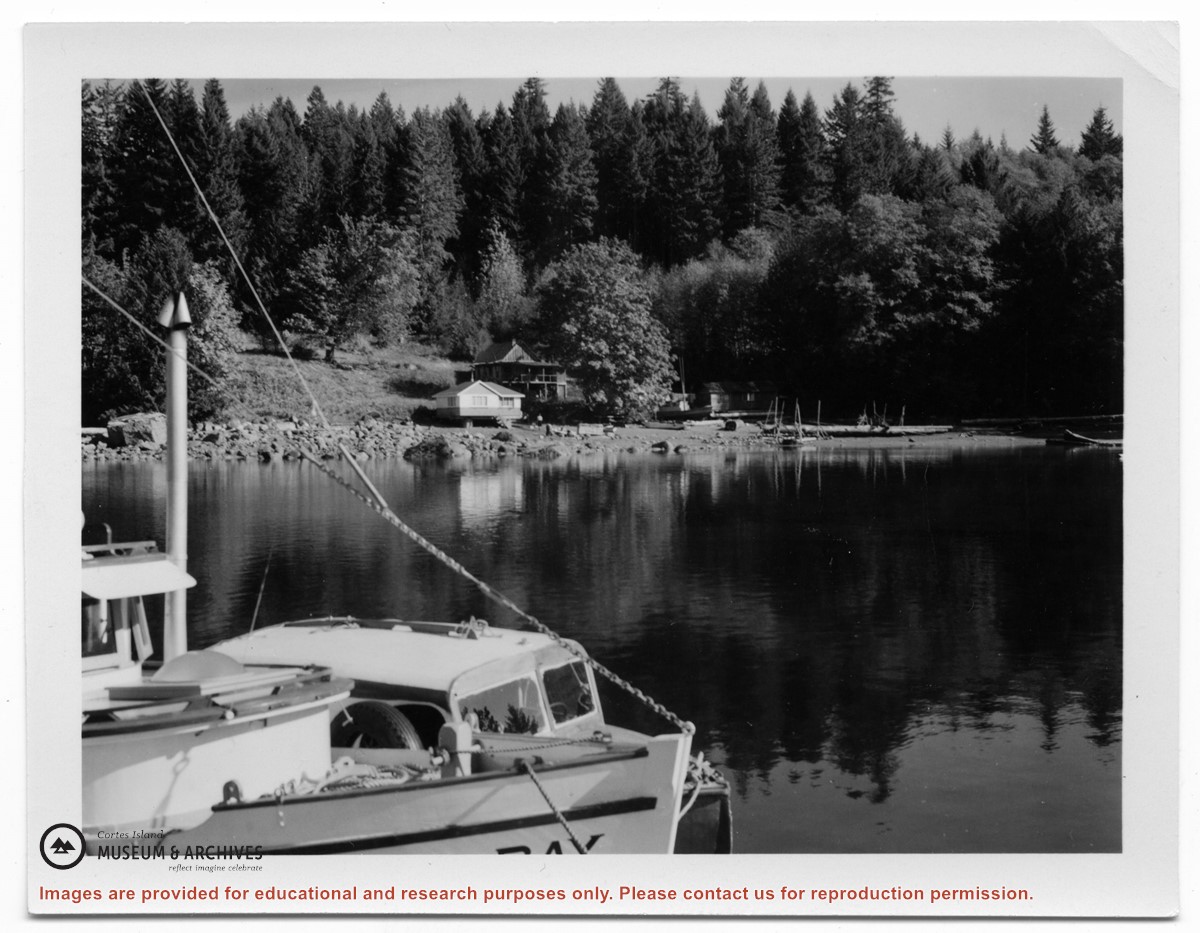
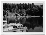
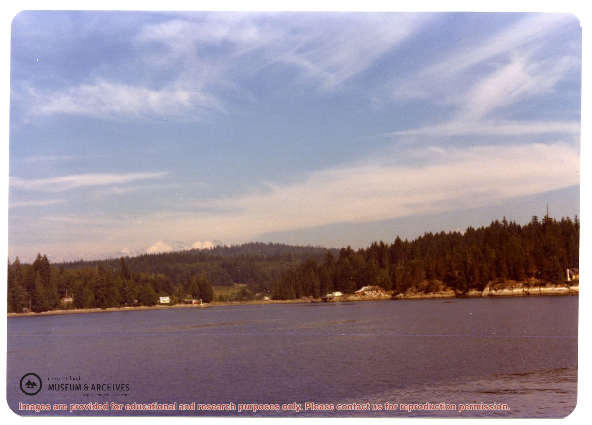
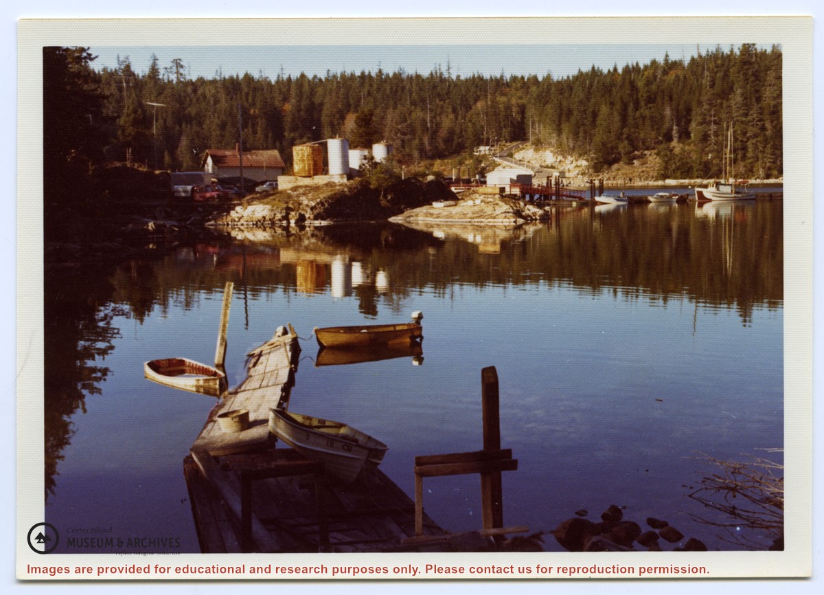
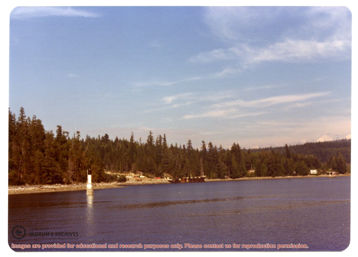
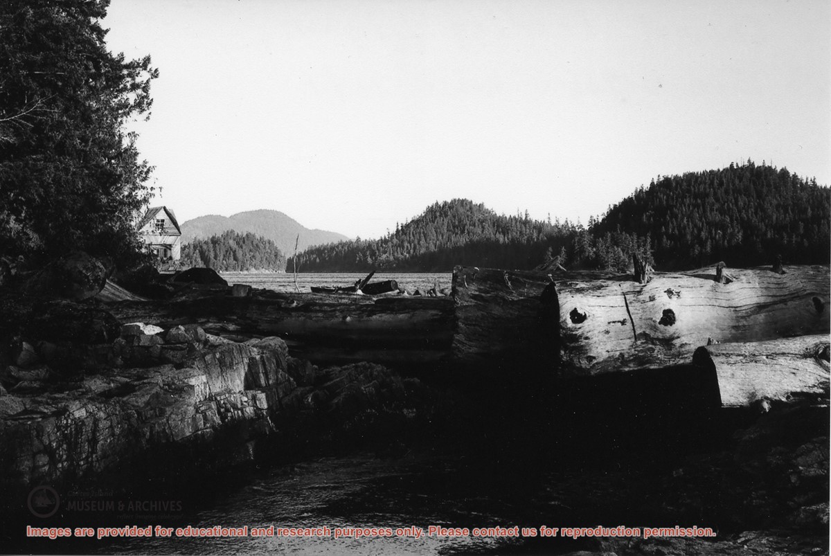
Photograph of Whaletown Bay taken from the water, showing the navigation marker at the entrance, and the houses to the left of the future site of the ferry landing.
Photograph of Whaletown Bay taken from the water, showing the navigation marker at the entrance, and the houses to the left of the future site of the ferry landing.
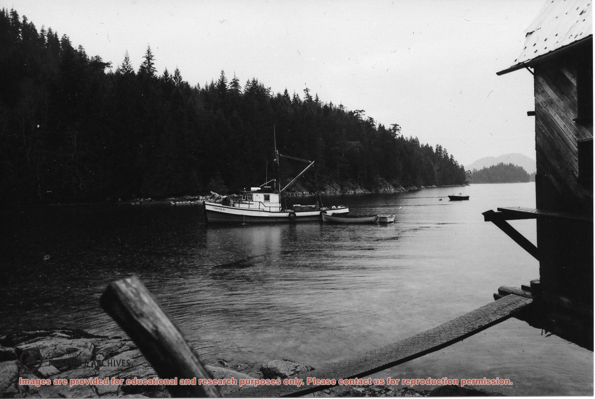
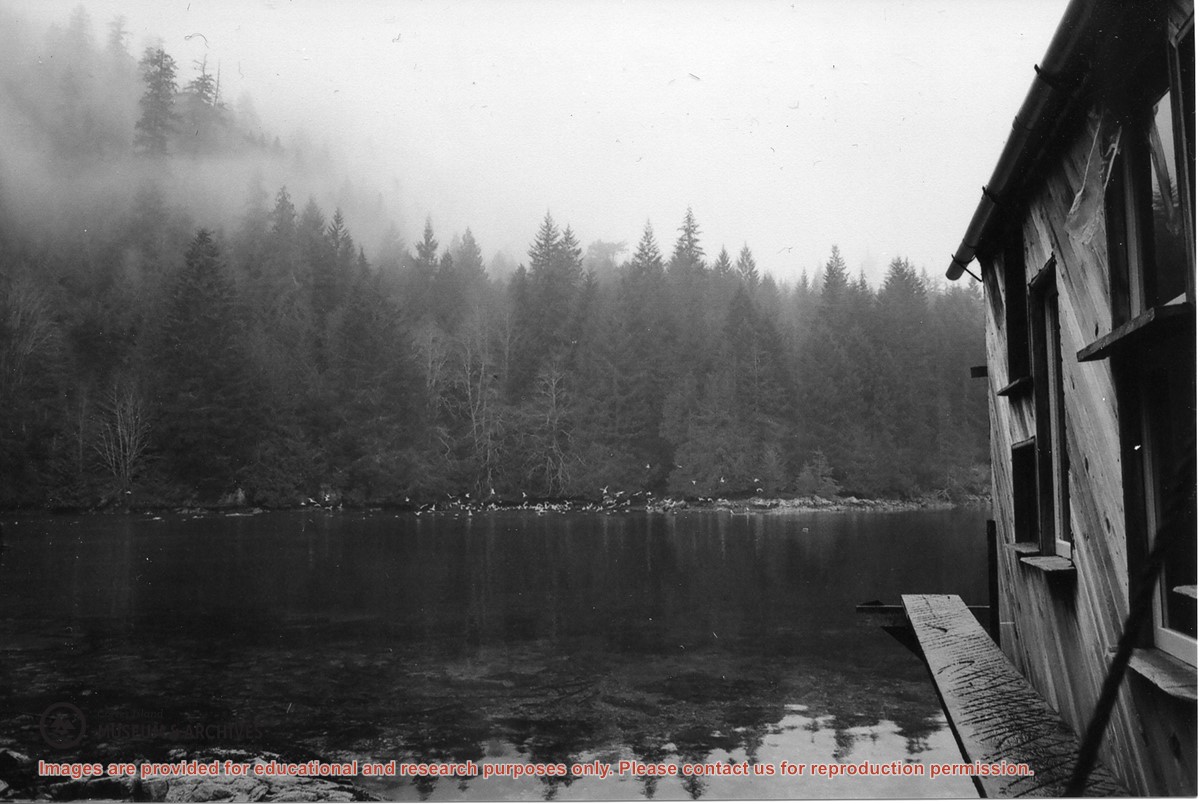
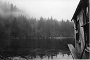
“Large numbers of sea birds overwinter in Carrington Lagoon & Bay. Nudibranchs spawn in lagoon as well as chum & coho (Spruce Creek). Herring run into the bay.”
“Large numbers of sea birds overwinter in Carrington Lagoon & Bay. Nudibranchs spawn in lagoon as well as chum & coho (Spruce Creek). Herring run into the bay.”
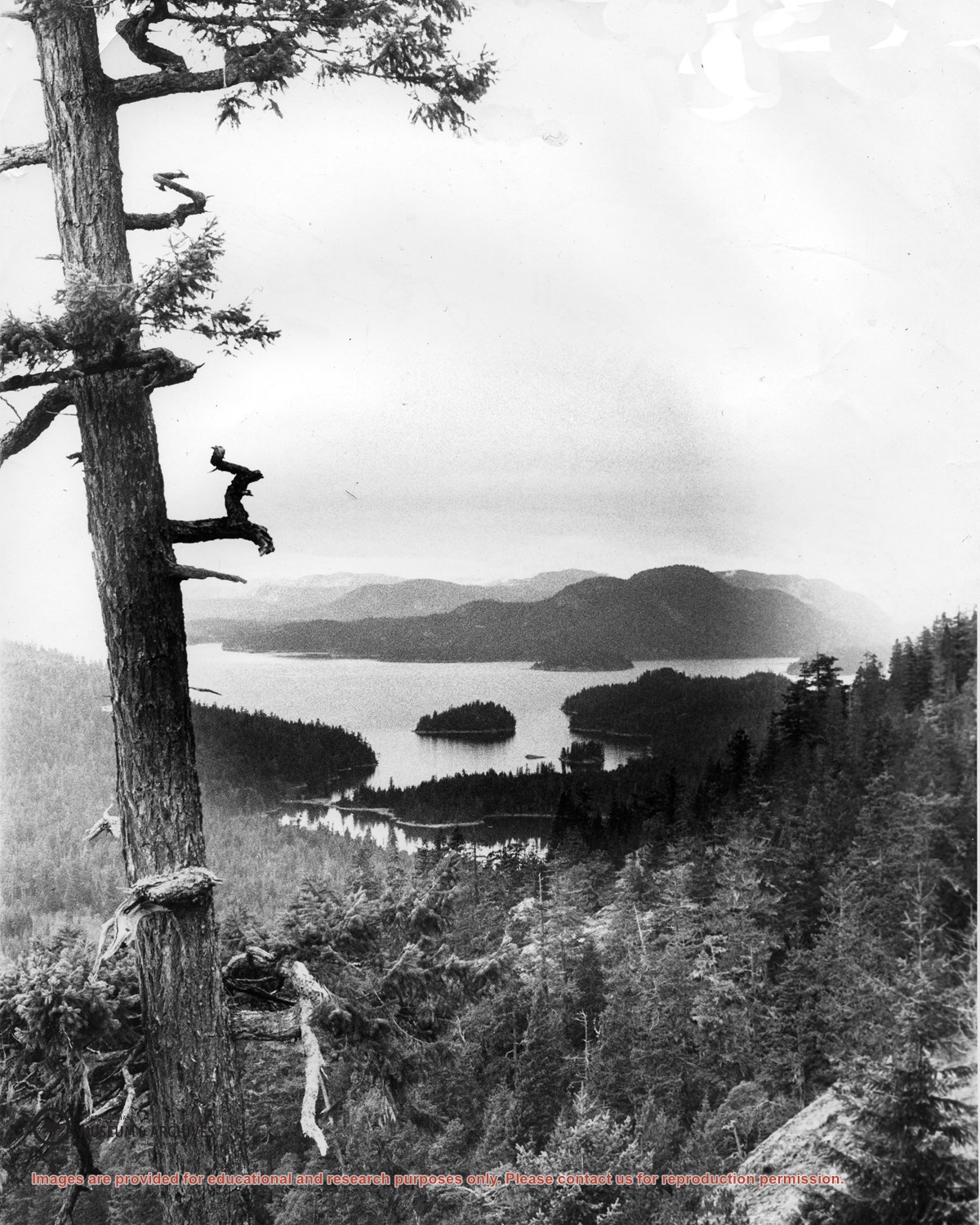
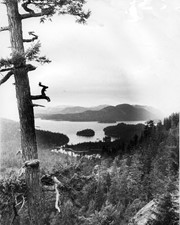
Looking north from Green Mountain over Carrington Lagoon and Carrington Bay (tidal falls in between) across 5 miles of water to Read Island, with a slew of islands to the north.
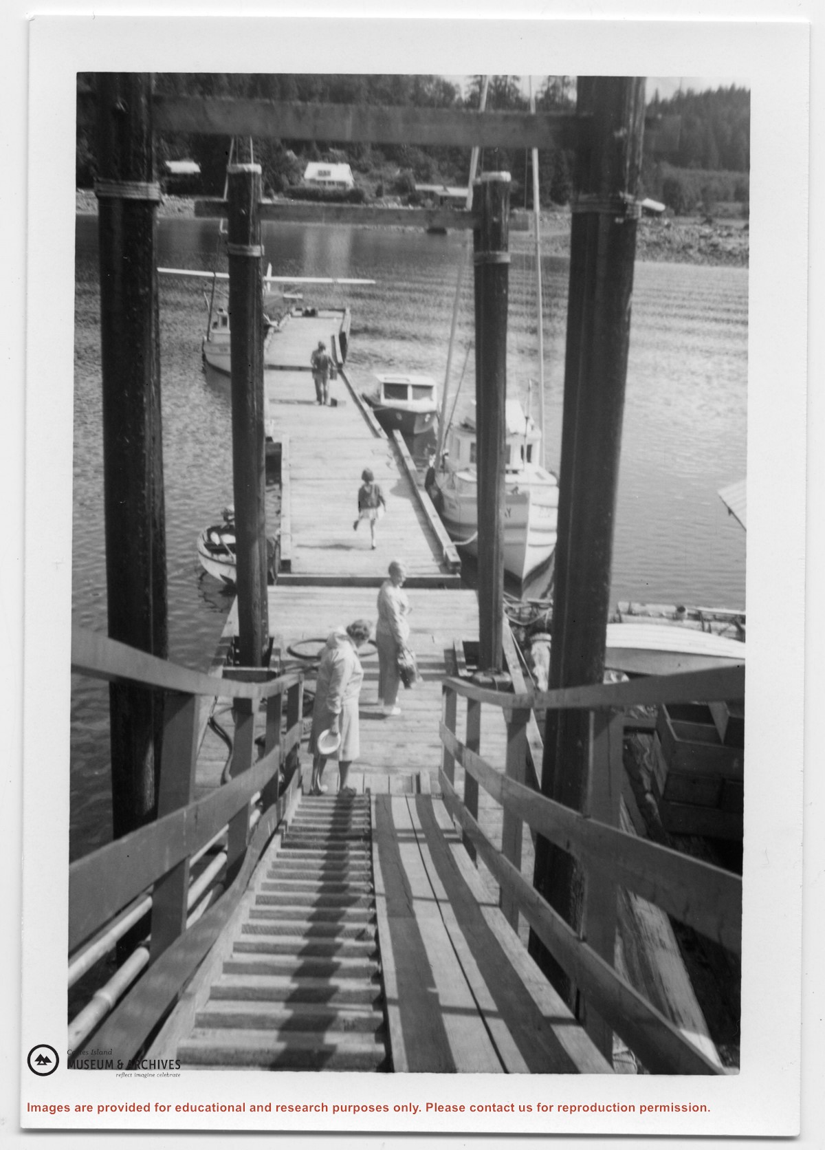
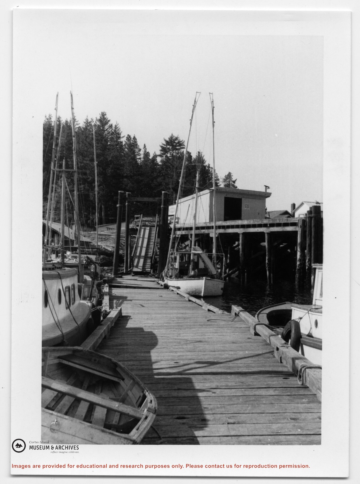
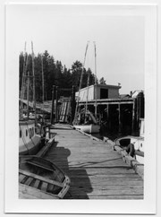
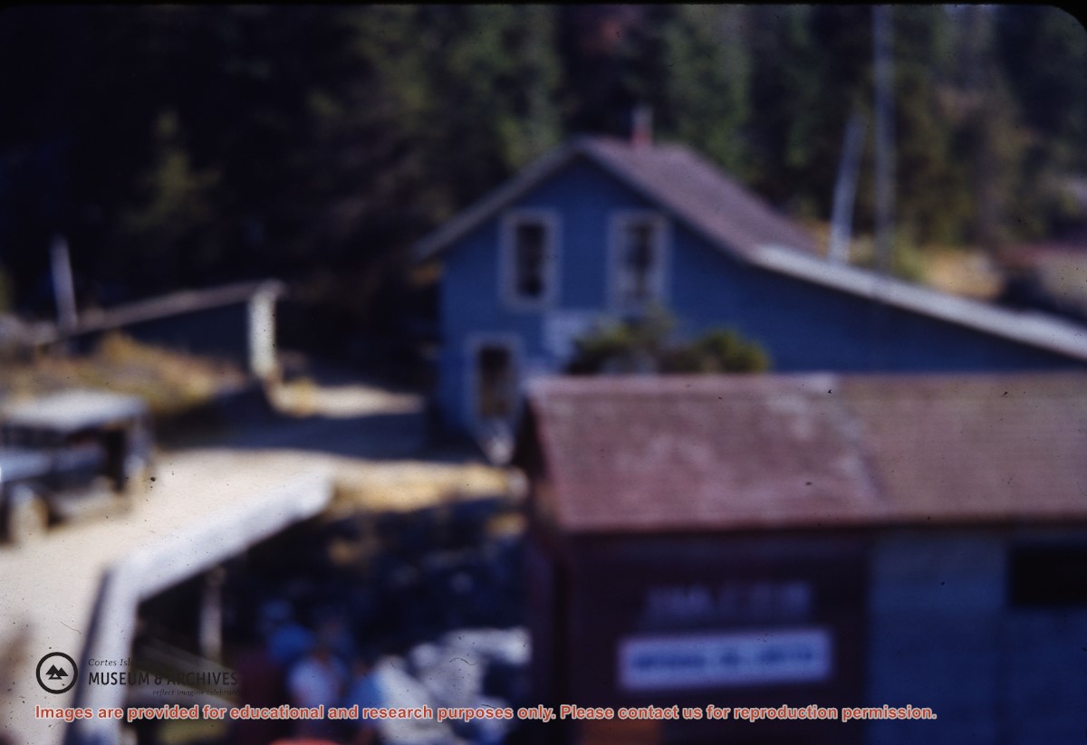
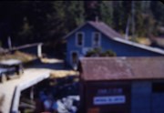
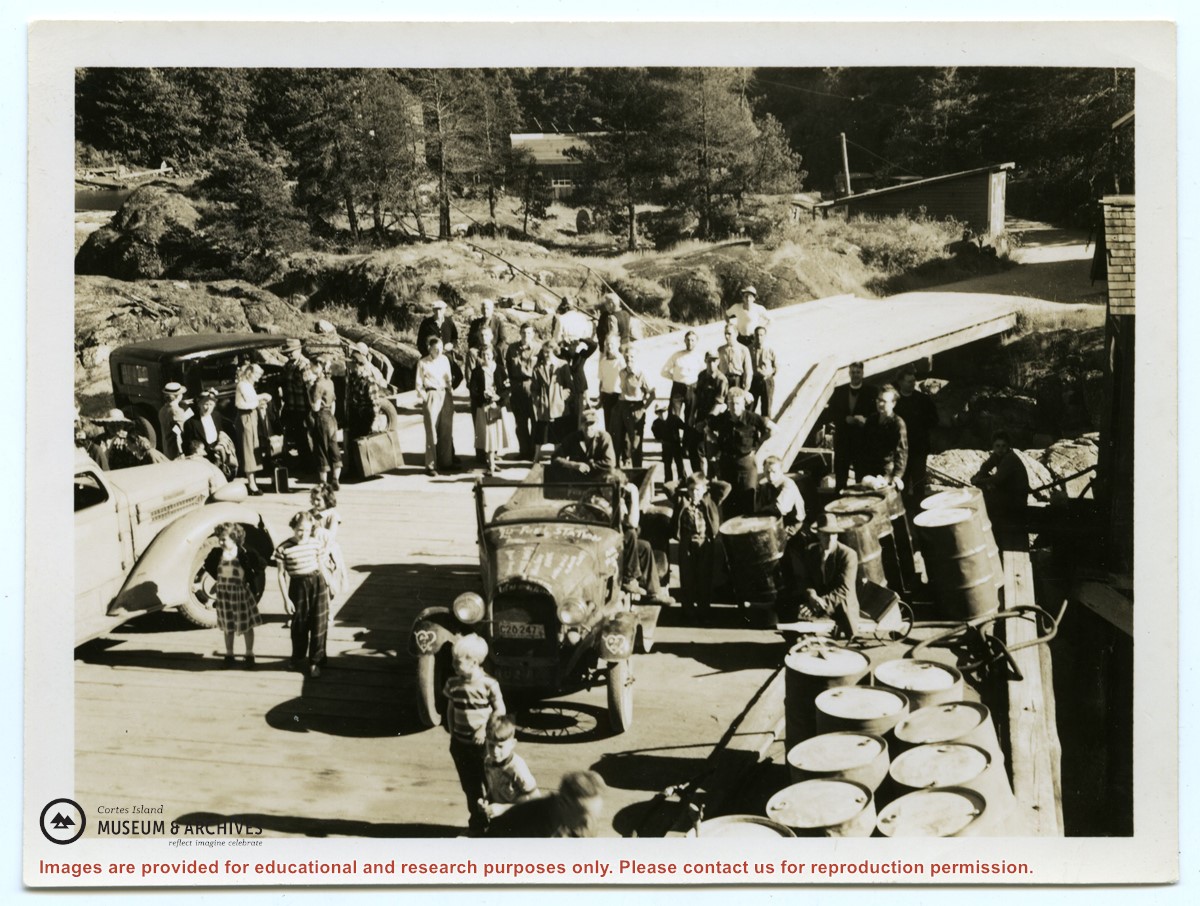
Photograph of the Whaletown wharf, taken from the end of the wharf. Their are several vehicles and a crowd of people on the wharf. Fuel barrels are on the right, and the fuel shed and other buildings are at the head of the wharf and down the road.
Photograph of the Whaletown wharf, taken from the end of the wharf. Their are several vehicles and a crowd of people on the wharf. Fuel barrels are on the right, and the fuel shed and other buildings are at the head of the wharf and down the road.