File contains a Key Map to the sections covered in Files 17-19; a list of the sections researched and two pages of notes.
It contains photocopies of Crown Grants and subsequent title changes for the following:
Charles Allen: 1908, Crown Grant for part of NE 1/4 of Sec. 21 lying north of Gorge Harbour (property known as Bute Ranch); 46 acres for $46.00
Bernard Robinson Allen: 1919, Crown Grant for NW 1/4 of Sec. 21; 162 acres for $247.00
Charles Allen: 1905, Crown Grant for SE 1/4 of Sec. 34
(Files 17 through 19 are from the same envelope.)
File contains a map key to the areas of Sections 17, 18, 19, 22 and 34 (south of Gorge Harbour) which were researched (Information in Files 3-7).
It contains photocopies of original land grants and subsequent conveyances for the following:
Reginald James Smith: 1946, Crown Grant 165414I for fractional SE 1/4 of Sec 23, 1946 (the Thunder Road subdivision at the eastern end of Gorge Harbour).
(Files 3 through 7 are from the same envelope.)
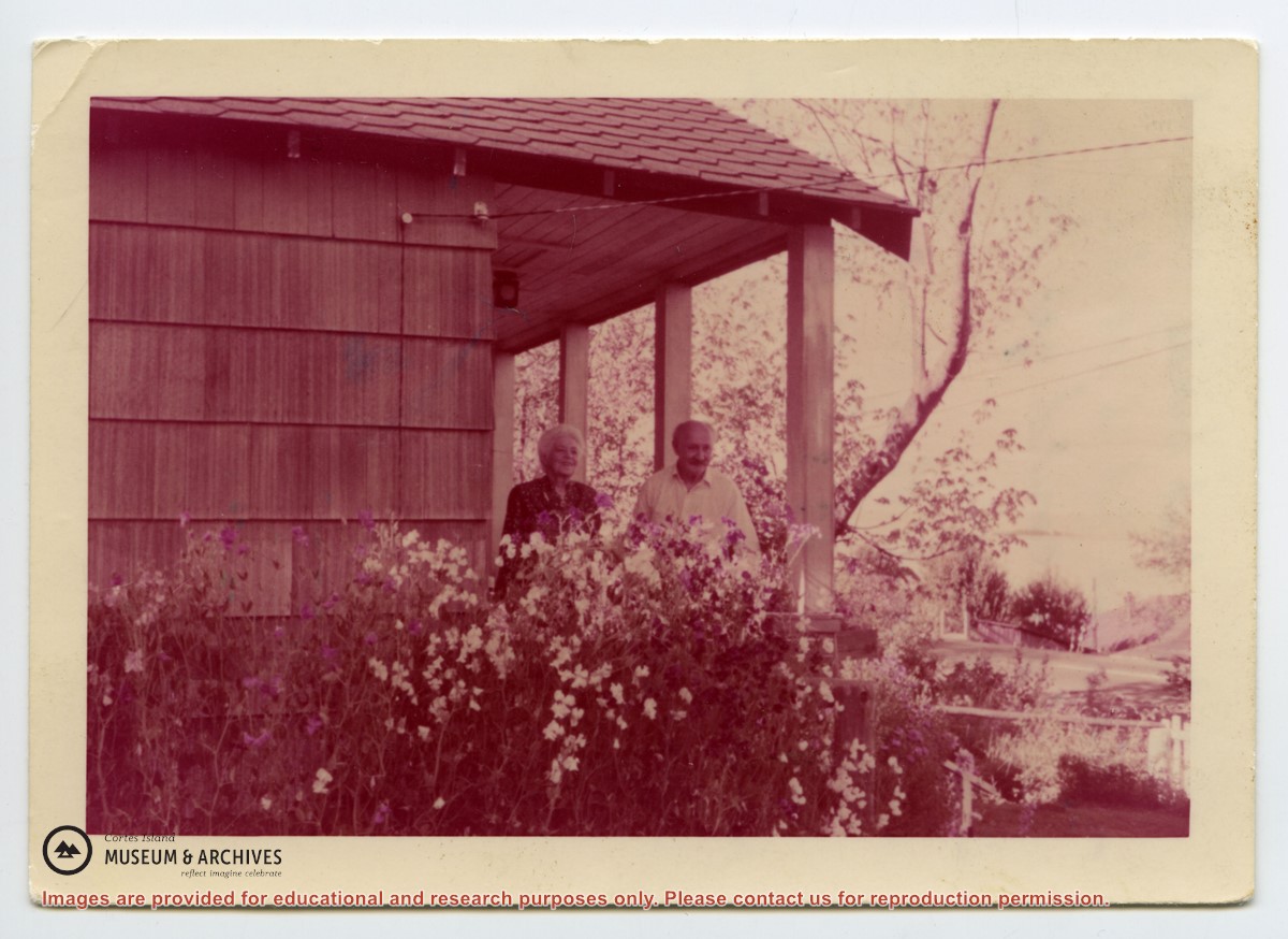
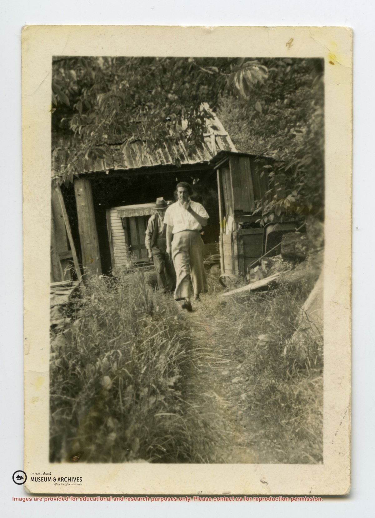
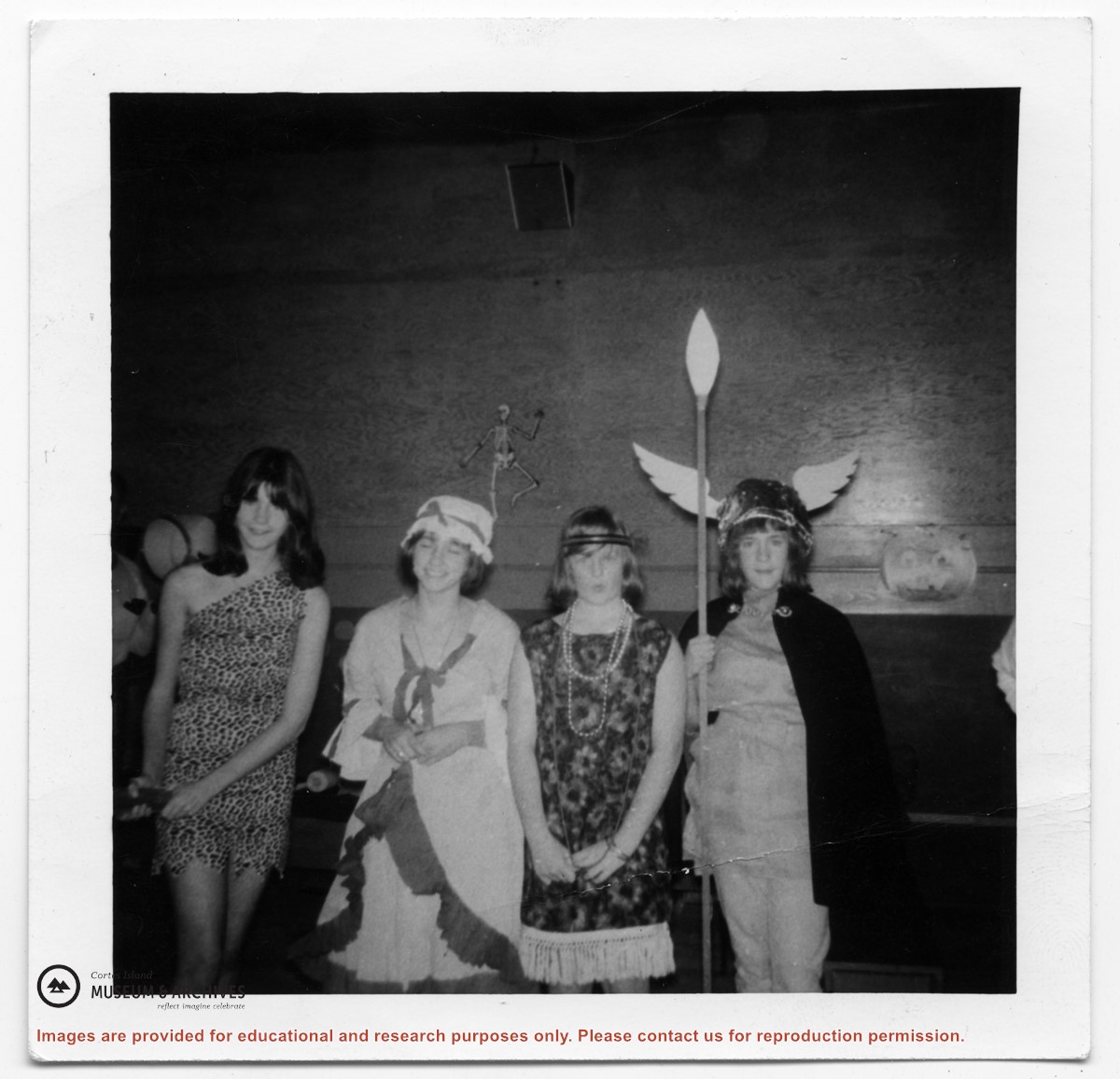
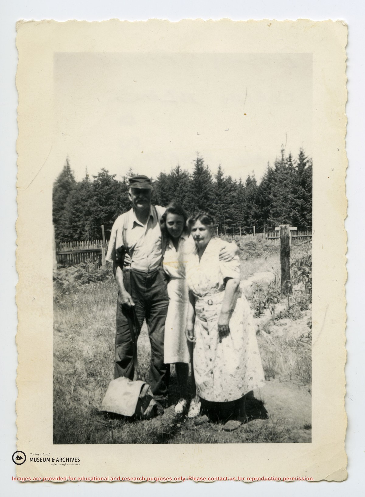
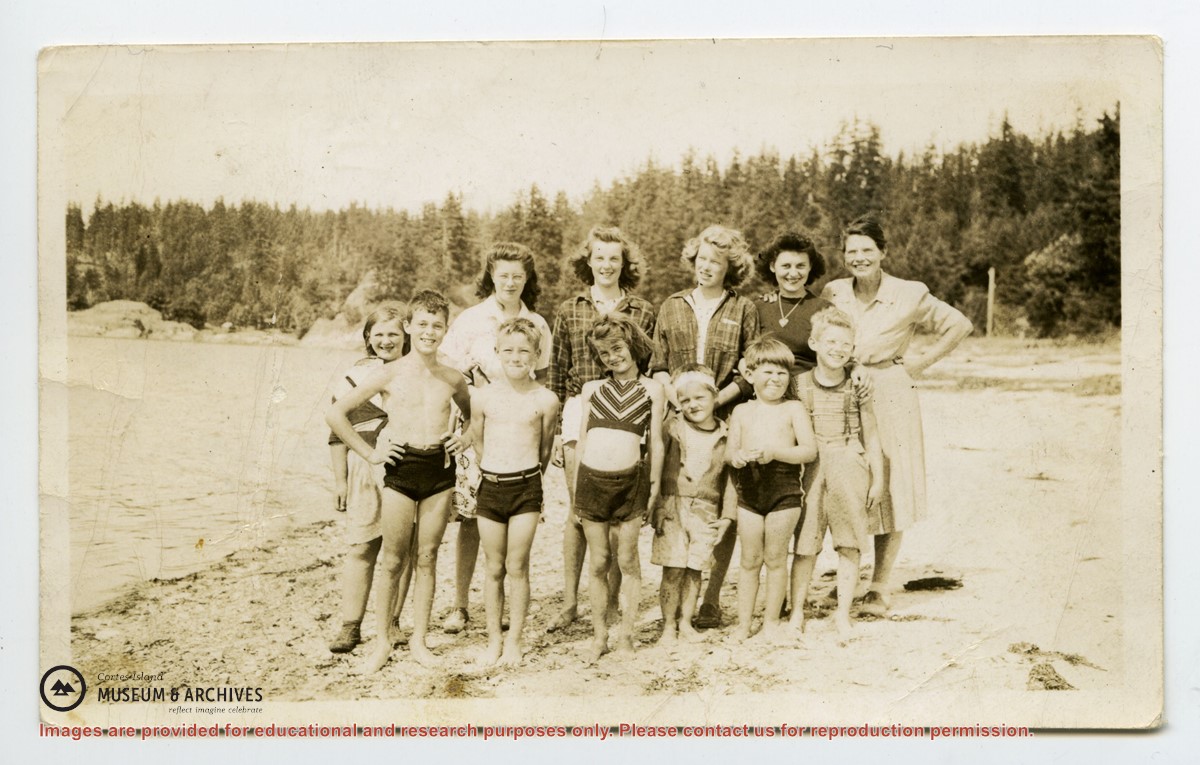
Fonds consists of sixteen photographs depicting people and scenes, primarily of the Manson's Landing area. Identification was provided by Fred Brooks Jr. in an interview with Cathy Jenks.
Alethea and Frederick (Fred) James Brooks Sr. and their two sons, Frederick (Fred) Earl, Jr. and Bob, lived on Cortes Island from ca. 1941 to 1944, near Manson's Landing. Fred Sr. logged in Cortes Bay and employed two of the Hawkins boys, Bill and George.
Fred Jr. attended grades three to six at Cortes Island school before the family moved to Pender Harbour. Some of the names he recalls are: the Christiansen kids (Robert, Jim, and a sister), the Tibers on the west side of Cortes Island, and the Jefferys of Smelt Bay.
Custodial History
Fred Brooks Jr. gave the photographs to Cathy Brooks of Pender Harbour Living Heritage Society, who facilitated the donation by collecting the photographs, donation form and information from Brooks and sending the materials to CIMAS.
Scope and Content
Fonds consists of sixteen photographs depicting people and scenes, primarily of the Manson's Landing area. Identification was provided by Fred Brooks Jr. in an interview with Cathy Jenks.
Pender Harbour Living Heritage holds related material from the Brooks family: https://penderharbourheritage.pastperfectonline.com/bysearchterm?keyword=Brooks+family
File contains genealogical information, photocopies of pictures, notes, and a CD labelled "Logan Family Photos" (2006.001.040 - stored in CD/DVD Album). Includes a photocopy of a World War I Diary of Dennis Walker.
File contains genealogical information, photocopies of pictures, notes, and a CD labelled "Logan Family Photos" (2006.001.040 - stored in CD/DVD Album). Includes a photocopy of a World War I Diary of Dennis Walker.