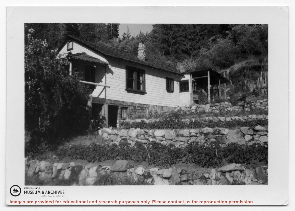
Photograph of a white house with rock-walled terraces to its right. This was Amy and Scotty McKenzie's float house, moved from Von Donop Inlet in 1951. Amy was daughter of Ruth and Henry Byers, who lived in the “Grey House” west of the ferry landing. (The "Grey House" was later moved to Squirrel Cove next to the Store.) The McKenzie house was between the Grey House and the ferry landing; it was torn down ca. 1974. The terraces may still be seen in the small park next to the ferry landing.
Photograph of a white house with rock-walled terraces to its right. This was Amy and Scotty McKenzie's float house, moved from Von Donop Inlet in 1951. Amy was daughter of Ruth and Henry Byers, who lived in the “Grey House” west of the ferry landing. (The "Grey House" was later moved to Squirrel Cove next to the Store.) The McKenzie house was between the Grey House and the ferry landing; it was torn down ca. 1974. The terraces may still be seen in the small park next to the ferry landing.
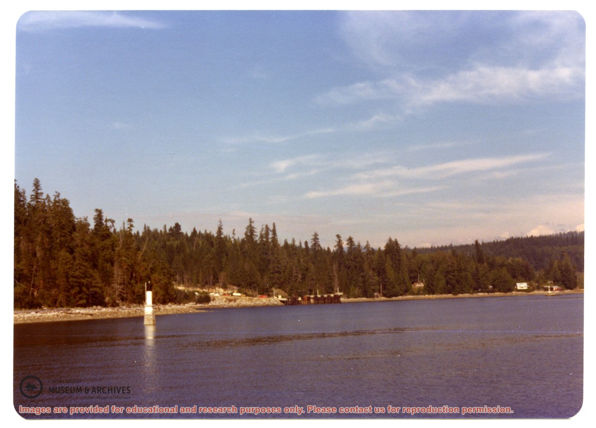
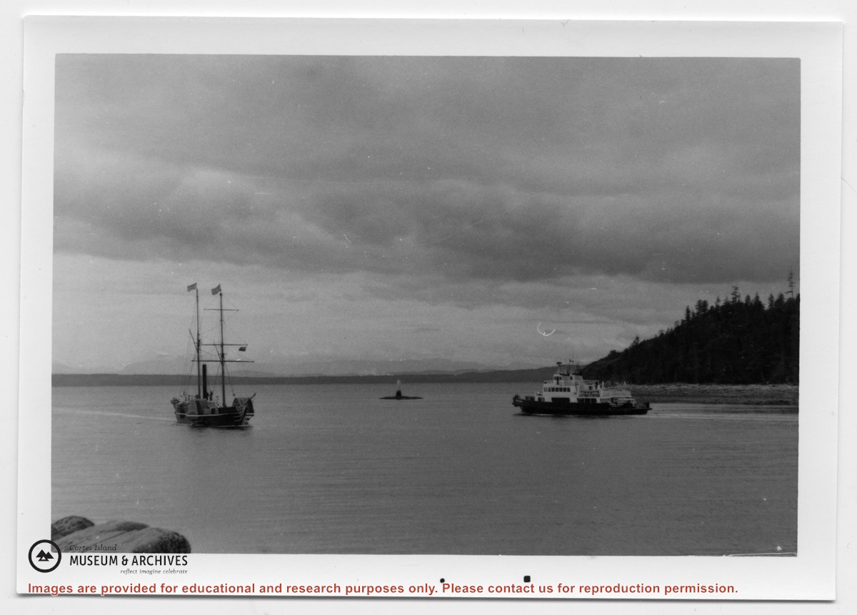
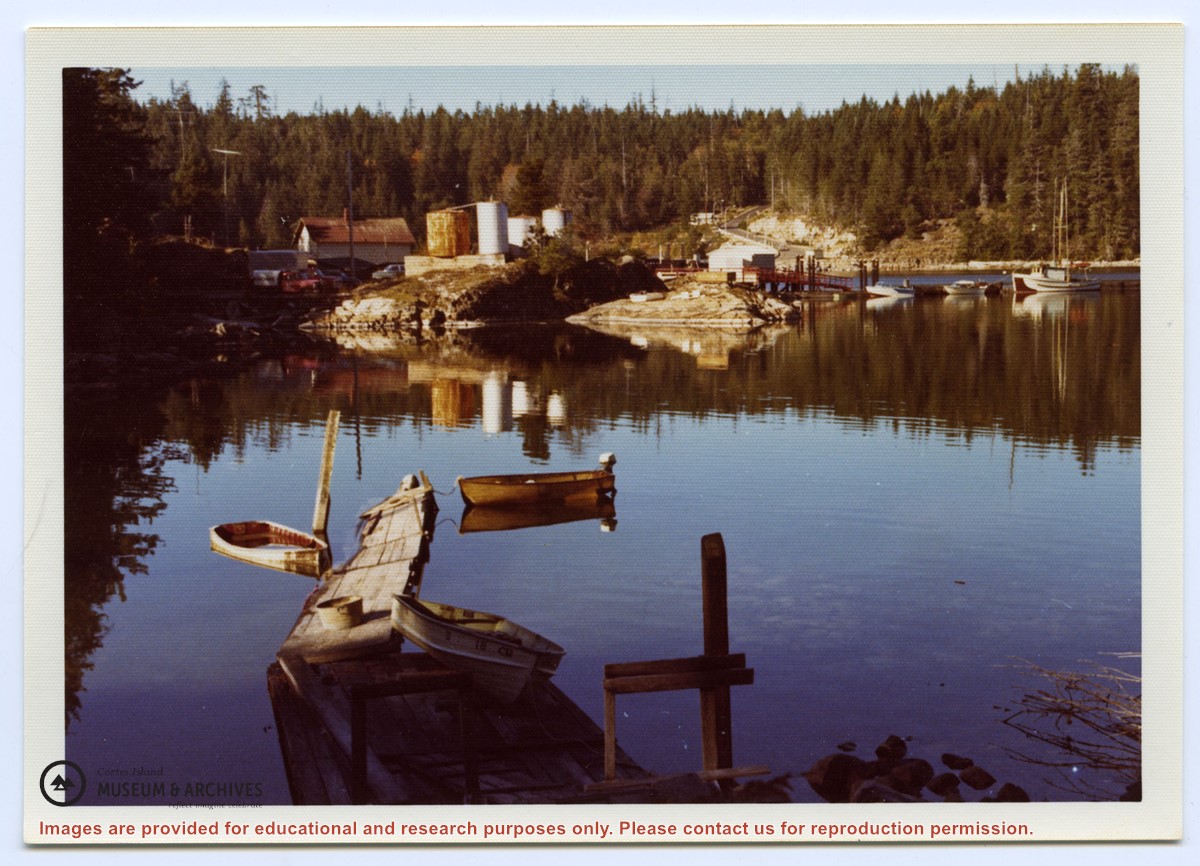
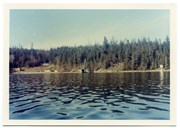
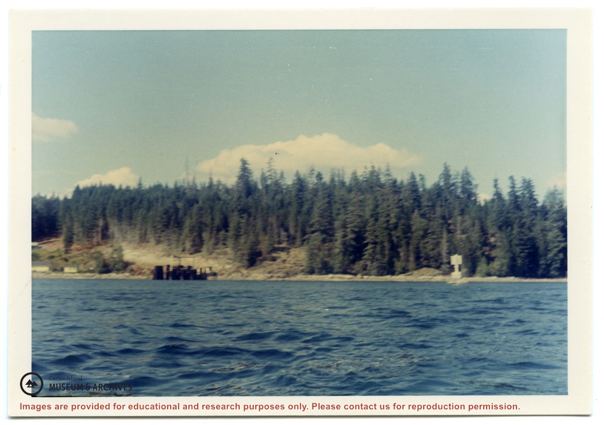
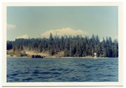
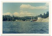
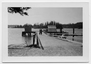
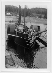
Photograph of Whaletown Bay taken from the water, showing the navigation marker at the entrance, and the houses to the left of the future site of the ferry landing.
Photograph of Whaletown Bay taken from the water, showing the navigation marker at the entrance, and the houses to the left of the future site of the ferry landing.
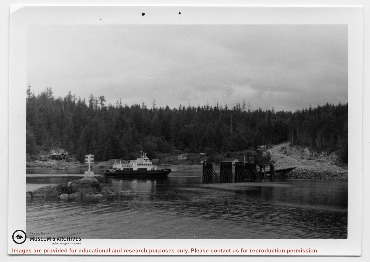
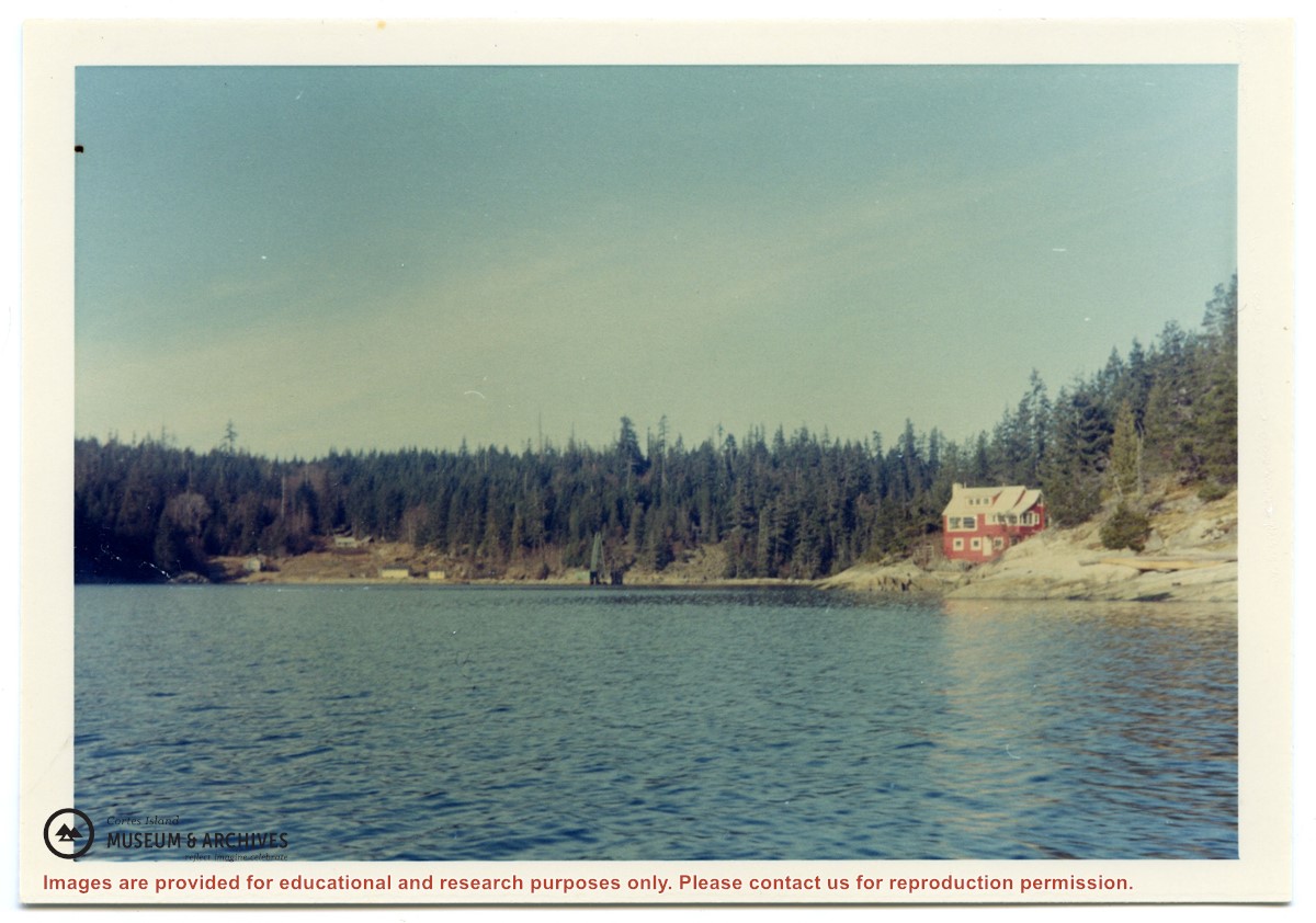
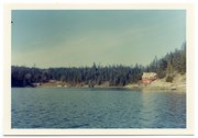
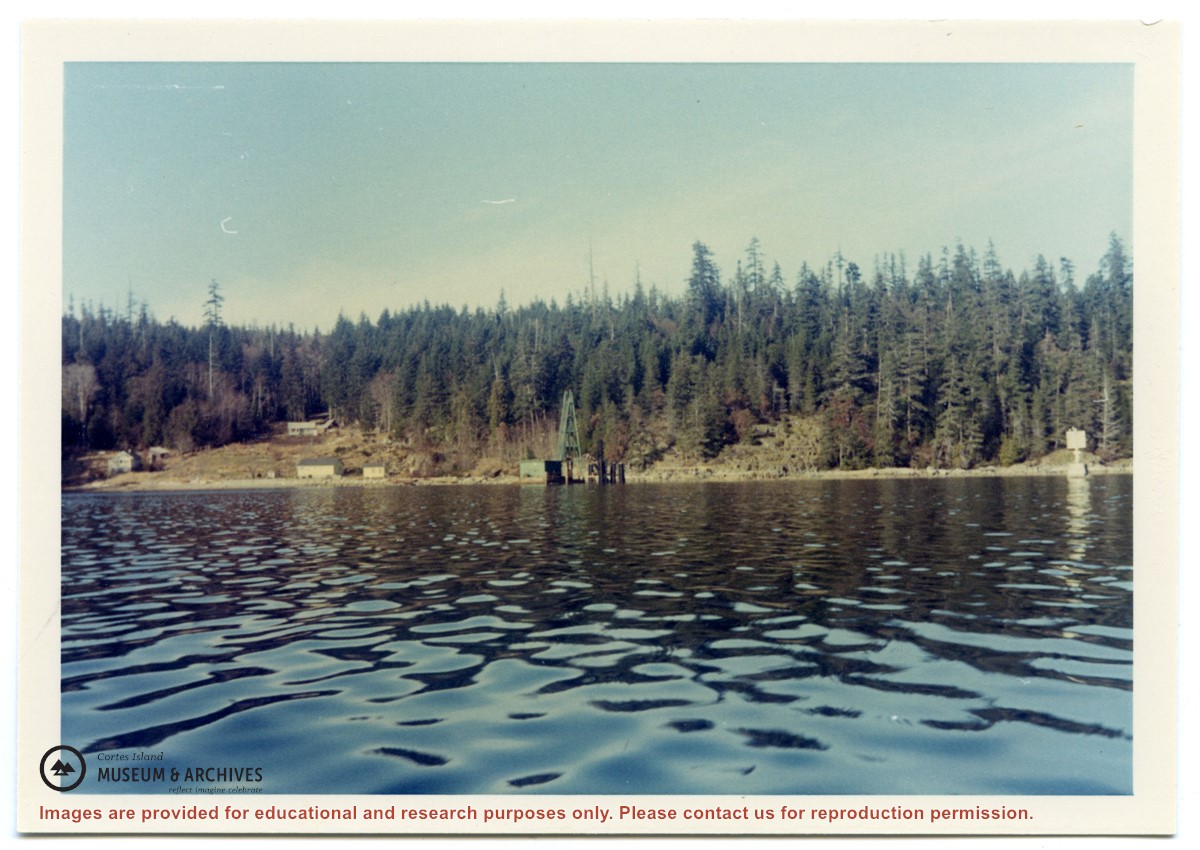
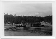
Photograph of Whaletown bay. A crane is behind the ferry dock, which is under construction. The pink house on the right is Otto and Mary Weiler's house.
Photograph of Whaletown bay. A crane is behind the ferry dock, which is under construction. The pink house on the right is Otto and Mary Weiler's house.
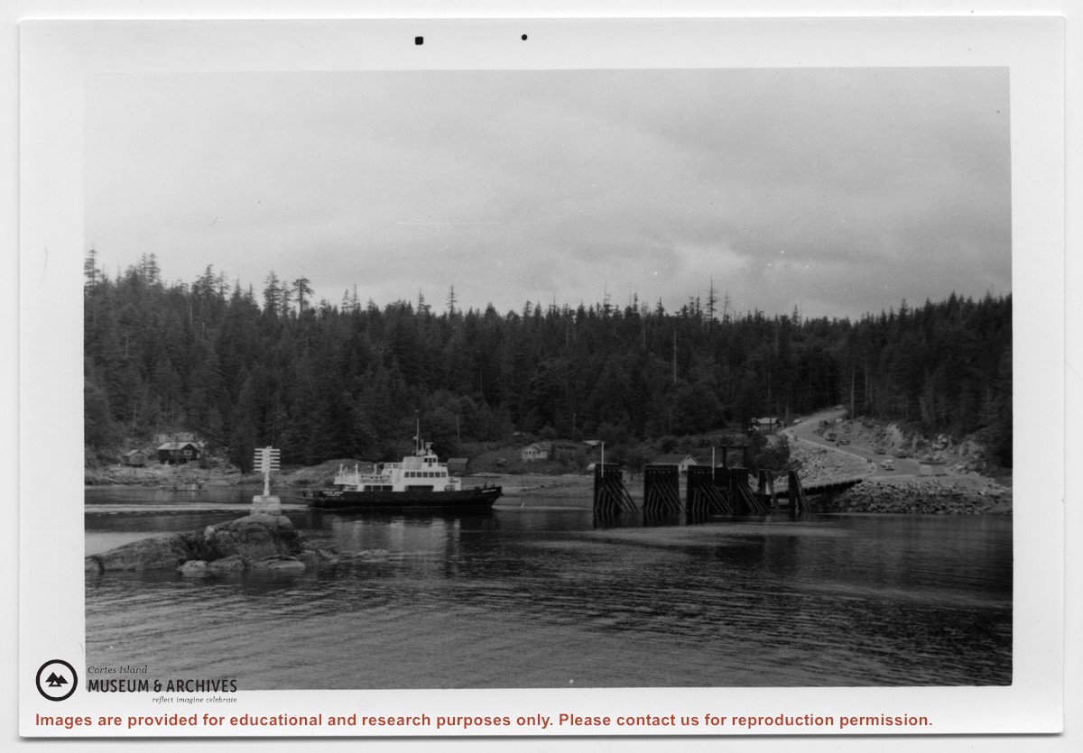
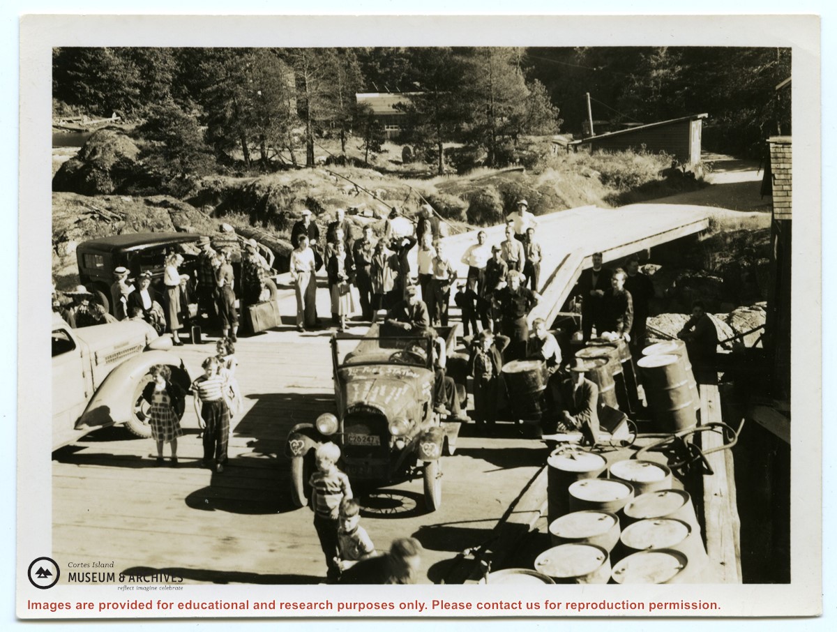
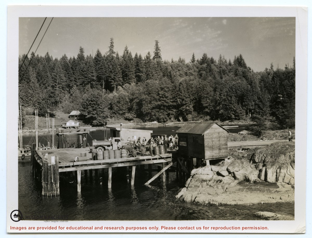
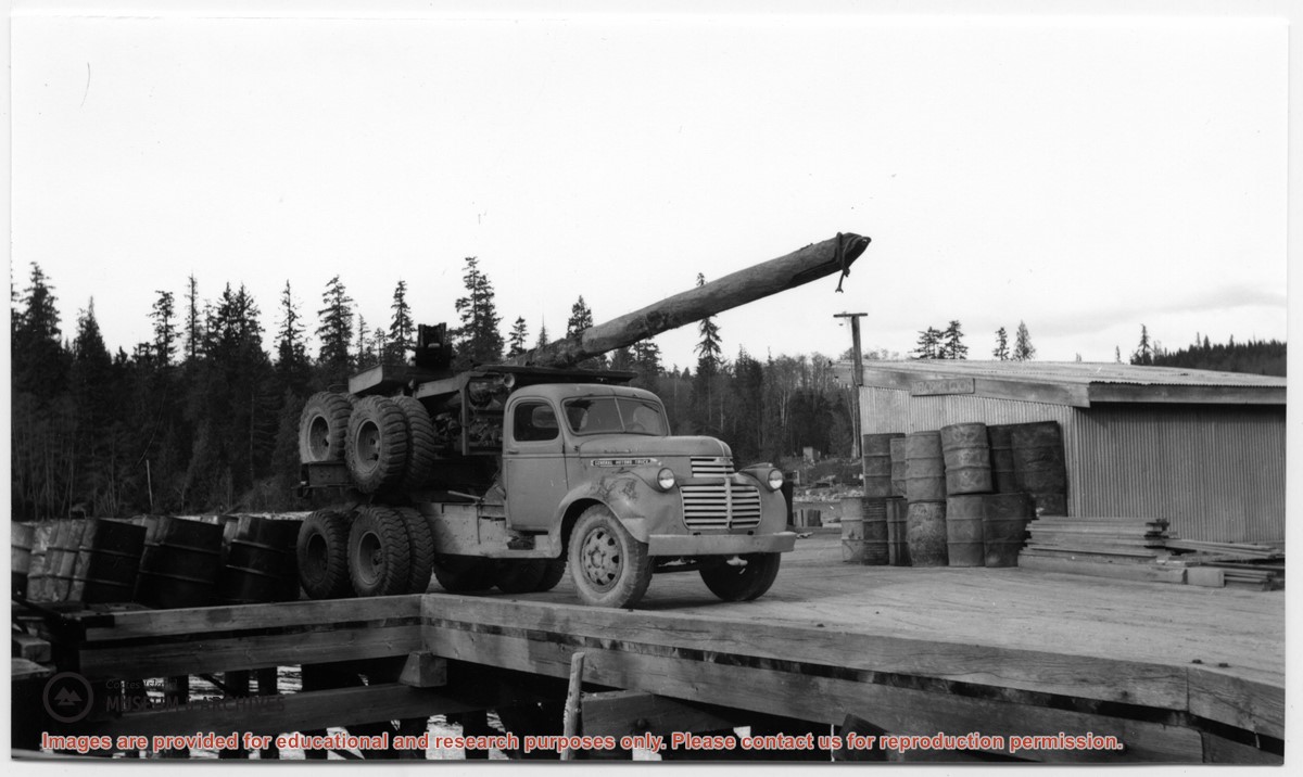
Photograph of the Whaletown wharf, taken from the end of the wharf. Their are several vehicles and a crowd of people on the wharf. Fuel barrels are on the right, and the fuel shed and other buildings are at the head of the wharf and down the road.
Photograph of the Whaletown wharf, taken from the end of the wharf. Their are several vehicles and a crowd of people on the wharf. Fuel barrels are on the right, and the fuel shed and other buildings are at the head of the wharf and down the road.
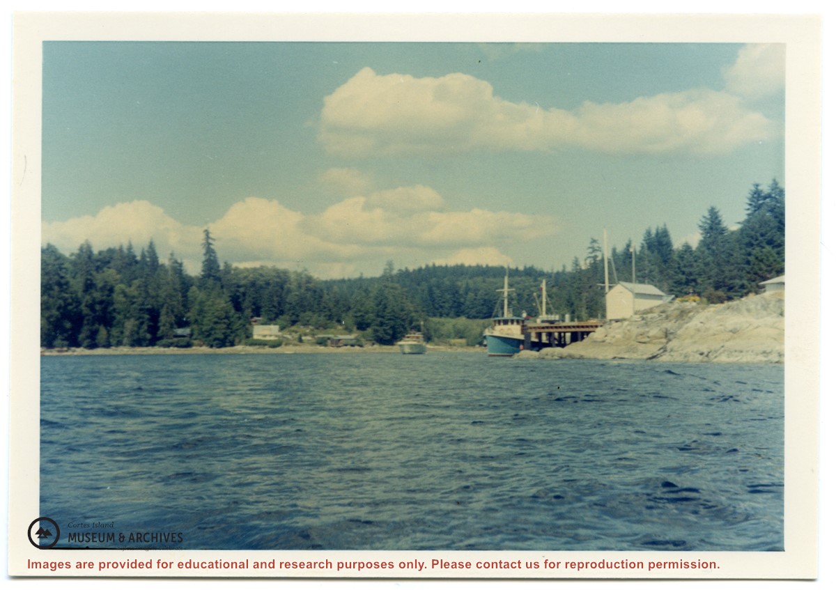
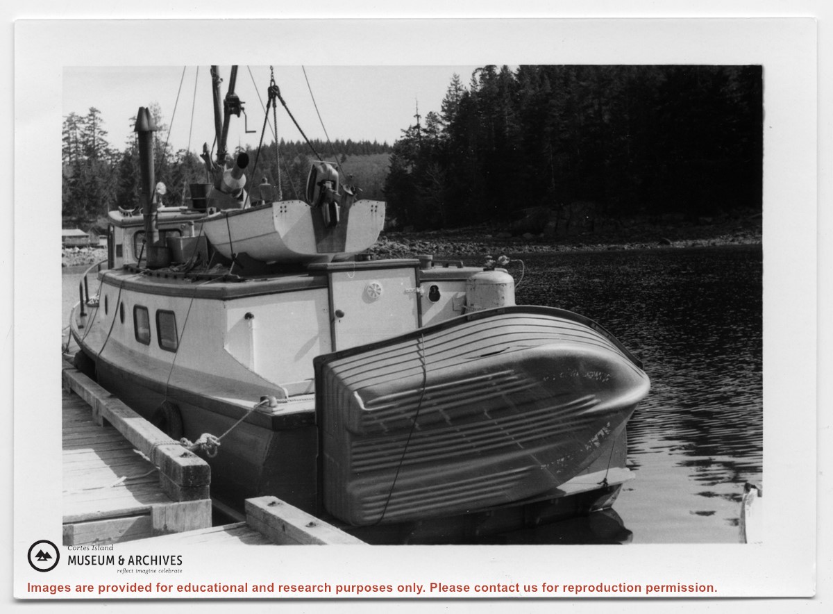
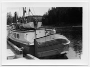
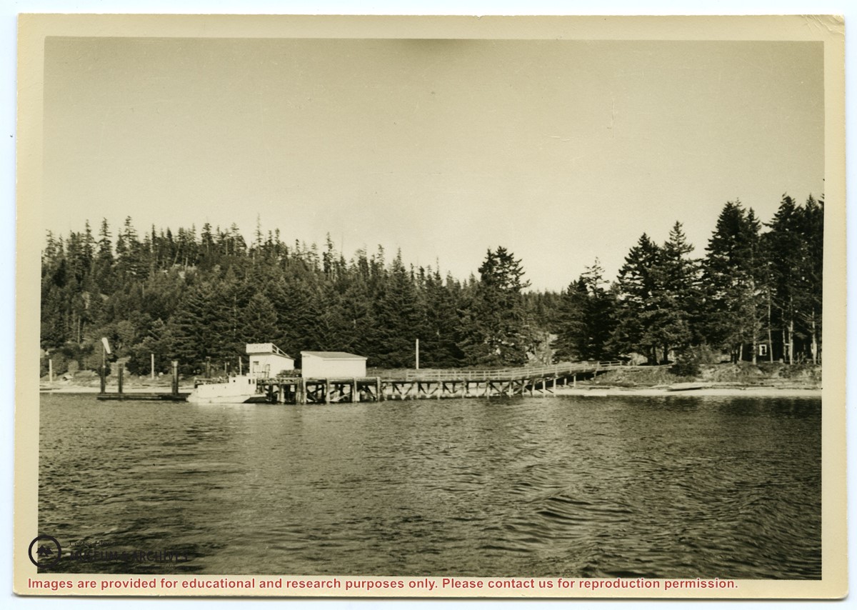
Photograph of the Manson's Landing wharf, taken from the water at high tide. It includes the oil and wharf sheds on the dock, an unknown scow boat with cabin at the float and the store ashore. Note: telephone poles from the original phone line across the mouth of the lagoon; higher banks along the shoreline.
Photograph of the Manson's Landing wharf, taken from the water at high tide. It includes the oil and wharf sheds on the dock, an unknown scow boat with cabin at the float and the store ashore. Note: telephone poles from the original phone line across the mouth of the lagoon; higher banks along the shoreline.
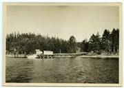
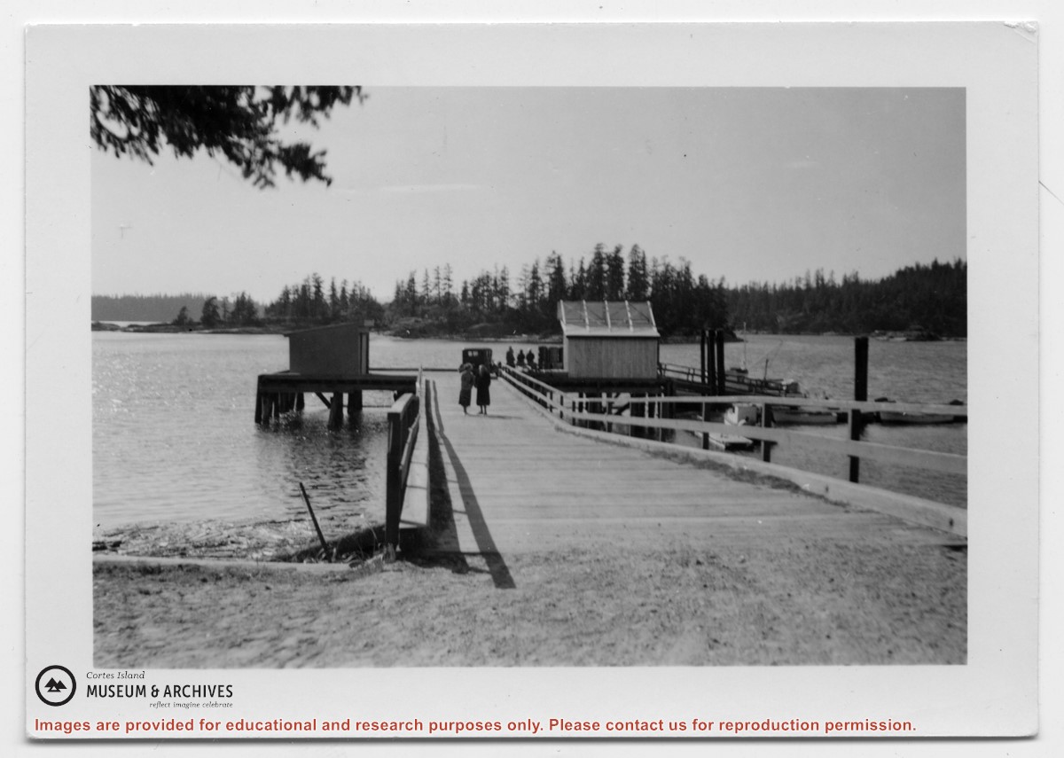
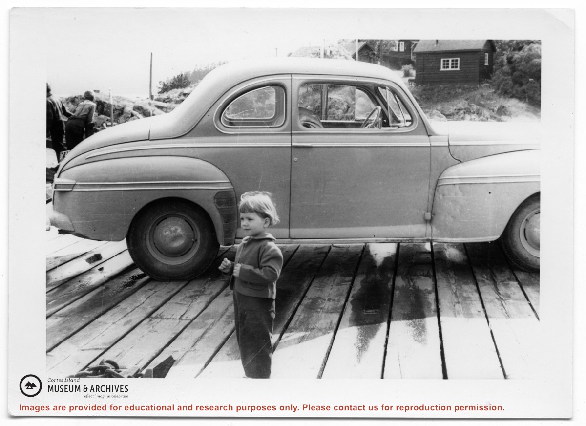
Photograph of Manson's Landing wharf, with Cat and Kitten Islands in the bacckground. Their are two sheds at the end of the dock above the ramp, and an old car is parked beside them. (date?)
Photograph of Manson's Landing wharf, with Cat and Kitten Islands in the bacckground. Their are two sheds at the end of the dock above the ramp, and an old car is parked beside them. (date?)
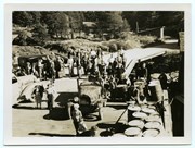
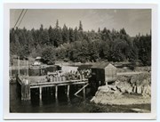
Photograph, taken from the water, of a crowd on the Whaletown wharf. The fuel shed is to the right; there are fuel barrels on the wharf, along with a truck. Notes on the back by Doreen Huck Thompson identify the houses visible across the bay.
Photograph, taken from the water, of a crowd on the Whaletown wharf. The fuel shed is to the right; there are fuel barrels on the wharf, along with a truck. Notes on the back by Doreen Huck Thompson identify the houses visible across the bay.