File contains a photocopied section map of the northern part of Cortes Island (from just south of Gorge Harbour), coloured to indicate areas for which a Crown Grant was located and areas of ungranted Crown land which still appear to be owned by the government. Scale is 1 mile to 1 inch.
File contains a photocopied section map of the northern part of Cortes Island (from just south of Gorge Harbour), coloured to indicate areas for which a Crown Grant was located and areas of ungranted Crown land which still appear to be owned by the government. Scale is 1 mile to 1 inch.
Series consists of a hand drawn map of Cortes Island showing places of interest to visitors, maps showing the location of hydro distribution lines on Cortes Island, maps related to zoning and rezoning on Cortes Island, the Official Settlement Plan, and a drawing showing an engineering plan for the Whaletown ferry terminal.
Series consists of a hand drawn map of Cortes Island showing places of interest to visitors, maps showing the location of hydro distribution lines on Cortes Island, maps related to zoning and rezoning on Cortes Island, the Official Settlement Plan, and a drawing showing an engineering plan for the Whaletown ferry terminal.
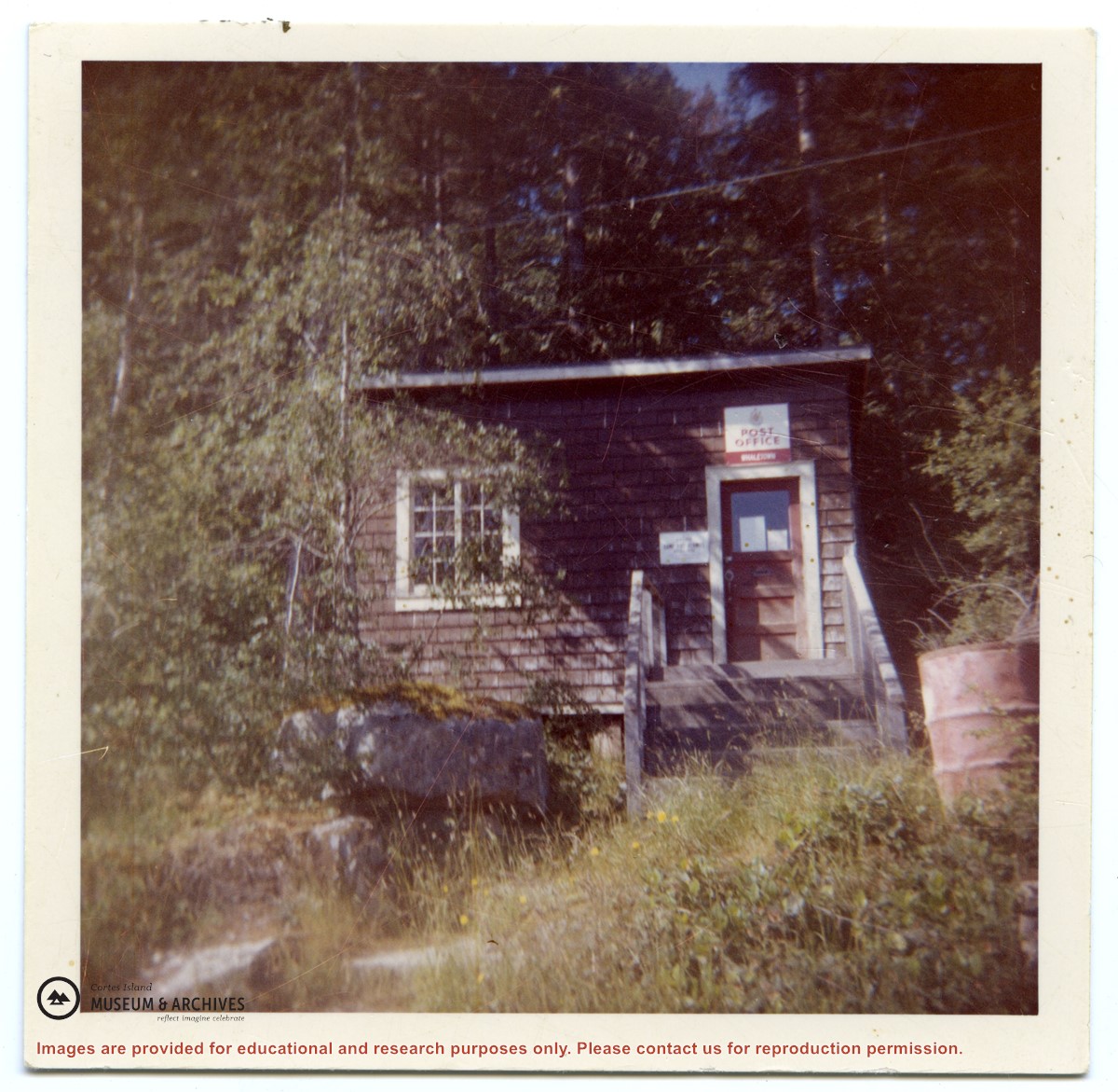
The post office was built in this location (on the property of 315 Whaletown Rd) in 1947. In 1981 it was moved across the road next to the parking area of the Whaletown store.
Likely originally from the collection of the Weiler family.
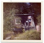
The post office was built in this location (on the property of 315 Whaletown Rd) in 1947. In 1981 it was moved across the road next to the parking area of the Whaletown store.
Likely originally from the collection of the Weiler family.
File contains a map key to the areas of Sections 17, 18, 19, 22 and 34 (south of Gorge Harbour) which were researched (Information in Files 3-7).
It contains photocopies of original land grants and subsequent conveyances for the following:
Reginald James Smith: 1946, Crown Grant 165414I for fractional SE 1/4 of Sec 23, 1946 (the Thunder Road subdivision at the eastern end of Gorge Harbour).
(Files 3 through 7 are from the same envelope.)
File contains a photocopy image of the Peter Police homestead at Carrington Lagoon, handwritten stories by Bud Dewar, an article about Ned Breeze, a photocopy of Gary and Velma Bergman at the Whaletown store, and a list of Seaford School.
File contains a photocopy image of the Peter Police homestead at Carrington Lagoon, handwritten stories by Bud Dewar, an article about Ned Breeze, a photocopy of Gary and Velma Bergman at the Whaletown store, and a list of Seaford School.