Series consists of a hand drawn map of Cortes Island showing places of interest to visitors, maps showing the location of hydro distribution lines on Cortes Island, maps related to zoning and rezoning on Cortes Island, the Official Settlement Plan, and a drawing showing an engineering plan for the Whaletown ferry terminal.
Series consists of a hand drawn map of Cortes Island showing places of interest to visitors, maps showing the location of hydro distribution lines on Cortes Island, maps related to zoning and rezoning on Cortes Island, the Official Settlement Plan, and a drawing showing an engineering plan for the Whaletown ferry terminal.
Binder contains interviews, stories and photographs documenting the social history of the Whaletown area. It was created as part of the Windows on Whaletown Exhibit, curated and mounted by Doreen Thompson.
Additional information:
re photo on p 79: "Dell Tooker with Stephen Williams (son of Trefor Williams). The Titus’s were gone by 1960 when the photo was taken. This horse was “Lady” and belonged to Bert Hansen. He kindly loaned her to us sometimes which was so appreciated." (from Tari Tooker Chiasson, 5/2021)
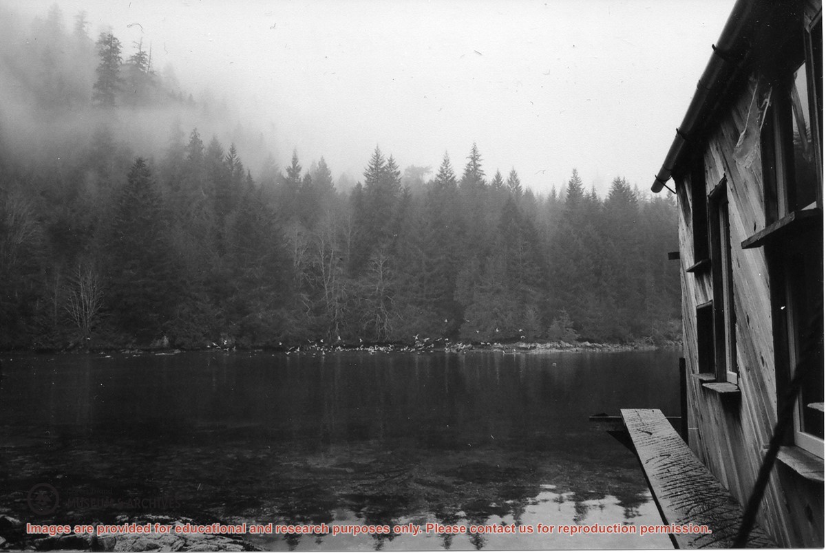
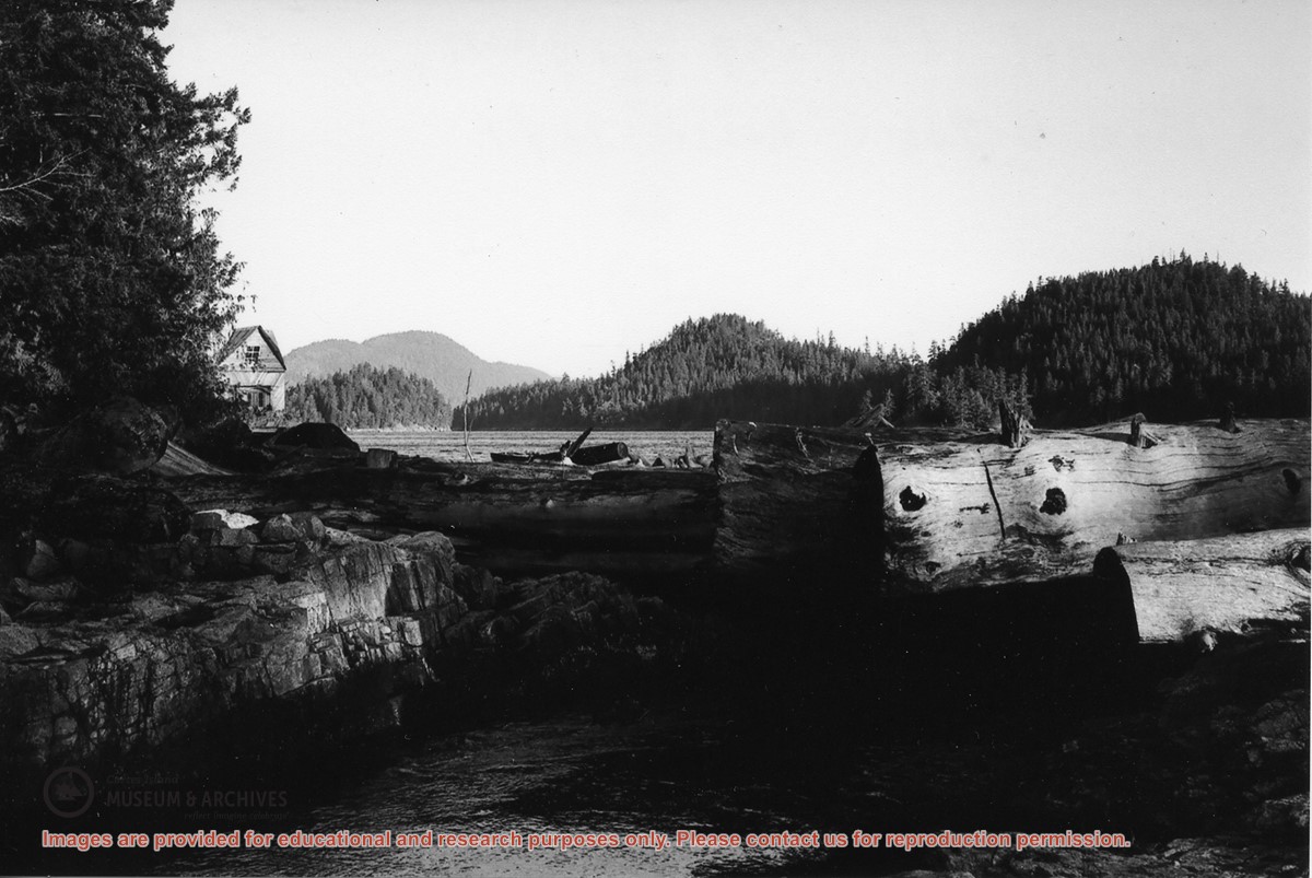
“Large numbers of sea birds overwinter in Carrington Lagoon & Bay. Nudibranchs spawn in lagoon as well as chum & coho (Spruce Creek). Herring run into the bay.”
“Large numbers of sea birds overwinter in Carrington Lagoon & Bay. Nudibranchs spawn in lagoon as well as chum & coho (Spruce Creek). Herring run into the bay.”
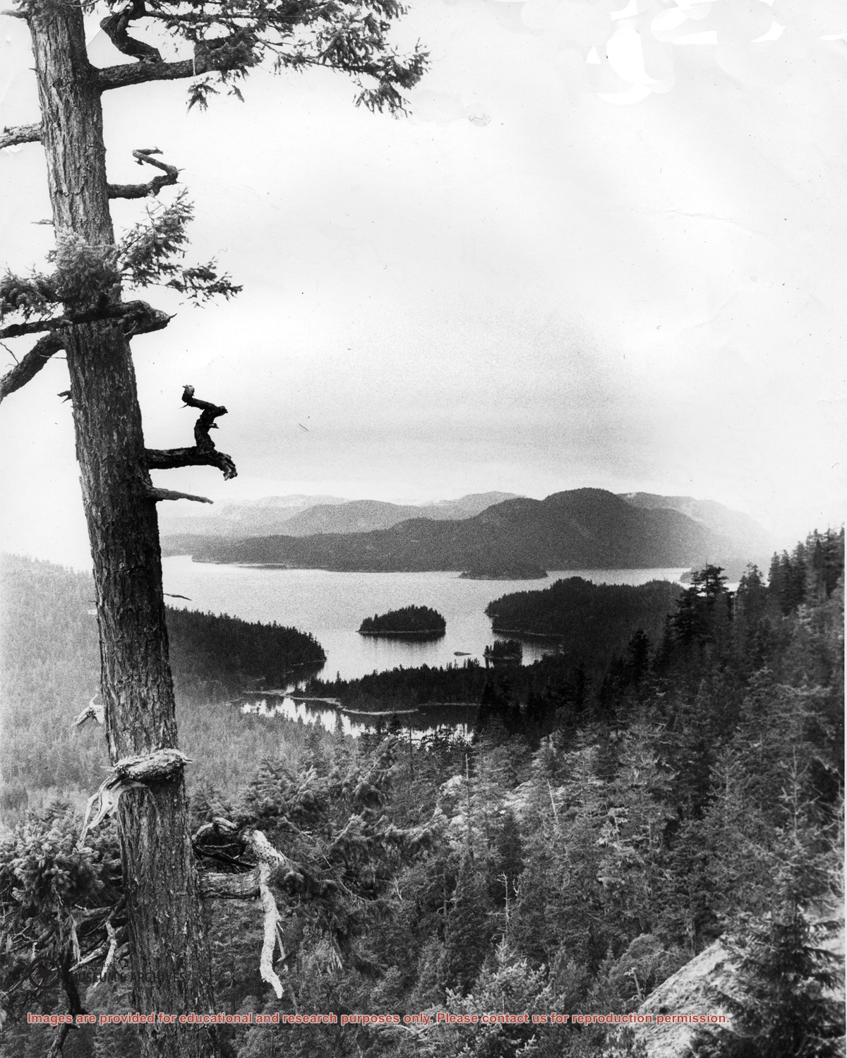
Looking north from Green Mountain over Carrington Lagoon and Carrington Bay (tidal falls in between) across 5 miles of water to Read Island, with a slew of islands to the north.