Series consists of a hand drawn map of Cortes Island showing places of interest to visitors, maps showing the location of hydro distribution lines on Cortes Island, maps related to zoning and rezoning on Cortes Island, the Official Settlement Plan, and a drawing showing an engineering plan for the Whaletown ferry terminal.
Series consists of a hand drawn map of Cortes Island showing places of interest to visitors, maps showing the location of hydro distribution lines on Cortes Island, maps related to zoning and rezoning on Cortes Island, the Official Settlement Plan, and a drawing showing an engineering plan for the Whaletown ferry terminal.
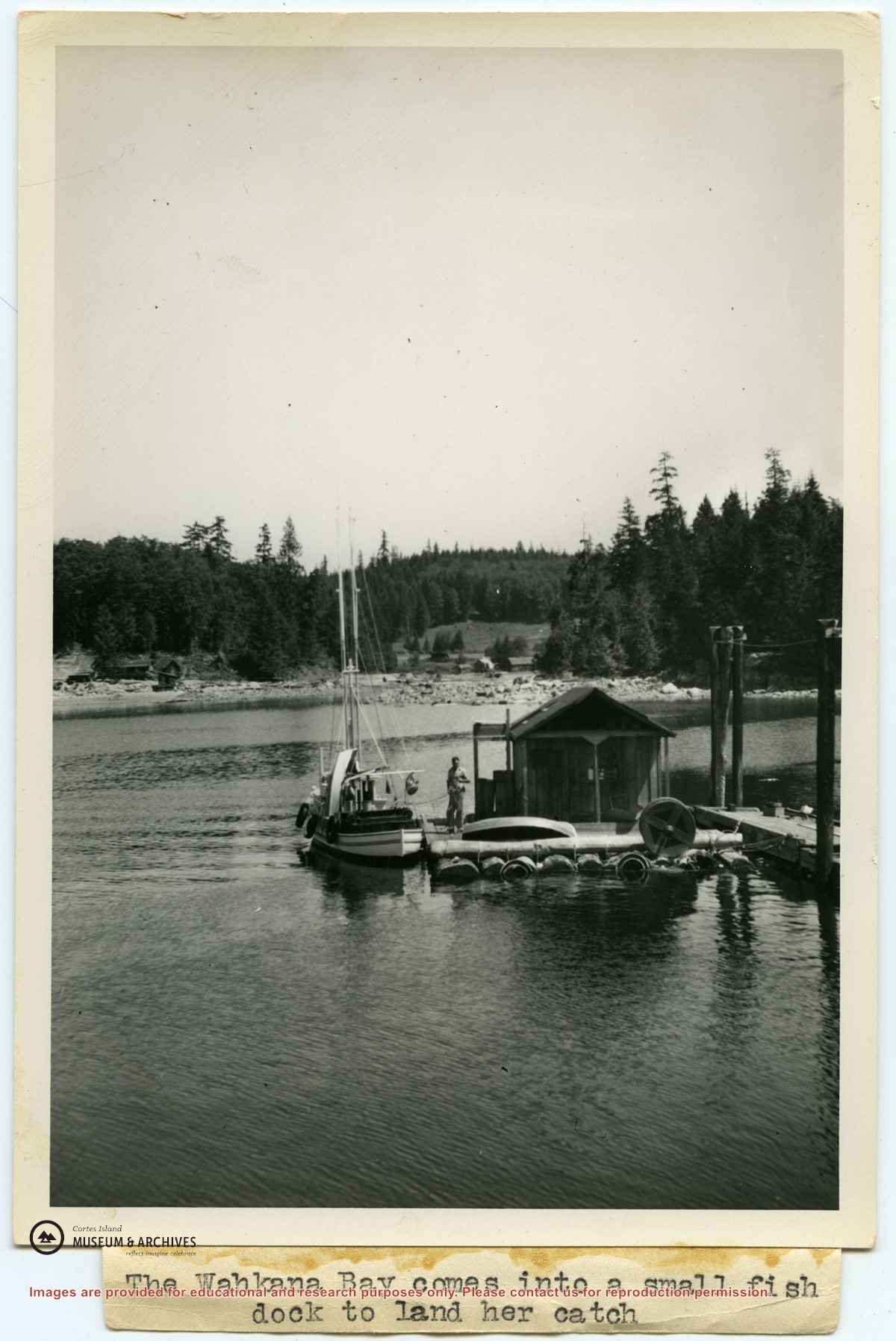
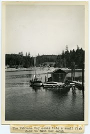
Photograph of Ken Slater's boat "Wahkana Bay" beside the fish scow at the end of the Whaletown dock. The buildings on the opposite side of Whaletown Bay may be seen in the background.
Photograph of Ken Slater's boat "Wahkana Bay" beside the fish scow at the end of the Whaletown dock. The buildings on the opposite side of Whaletown Bay may be seen in the background.