Series consists of a hand drawn map of Cortes Island showing places of interest to visitors, maps showing the location of hydro distribution lines on Cortes Island, maps related to zoning and rezoning on Cortes Island, the Official Settlement Plan, and a drawing showing an engineering plan for the Whaletown ferry terminal.
Series consists of a hand drawn map of Cortes Island showing places of interest to visitors, maps showing the location of hydro distribution lines on Cortes Island, maps related to zoning and rezoning on Cortes Island, the Official Settlement Plan, and a drawing showing an engineering plan for the Whaletown ferry terminal.
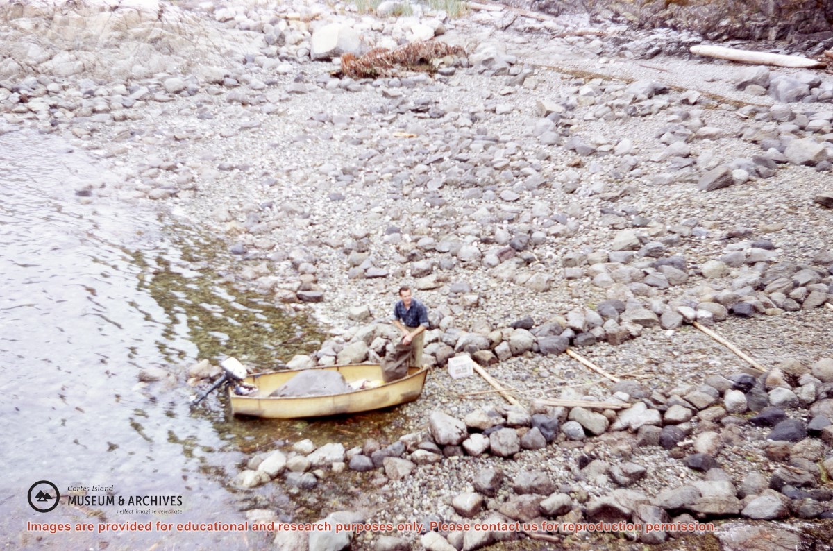
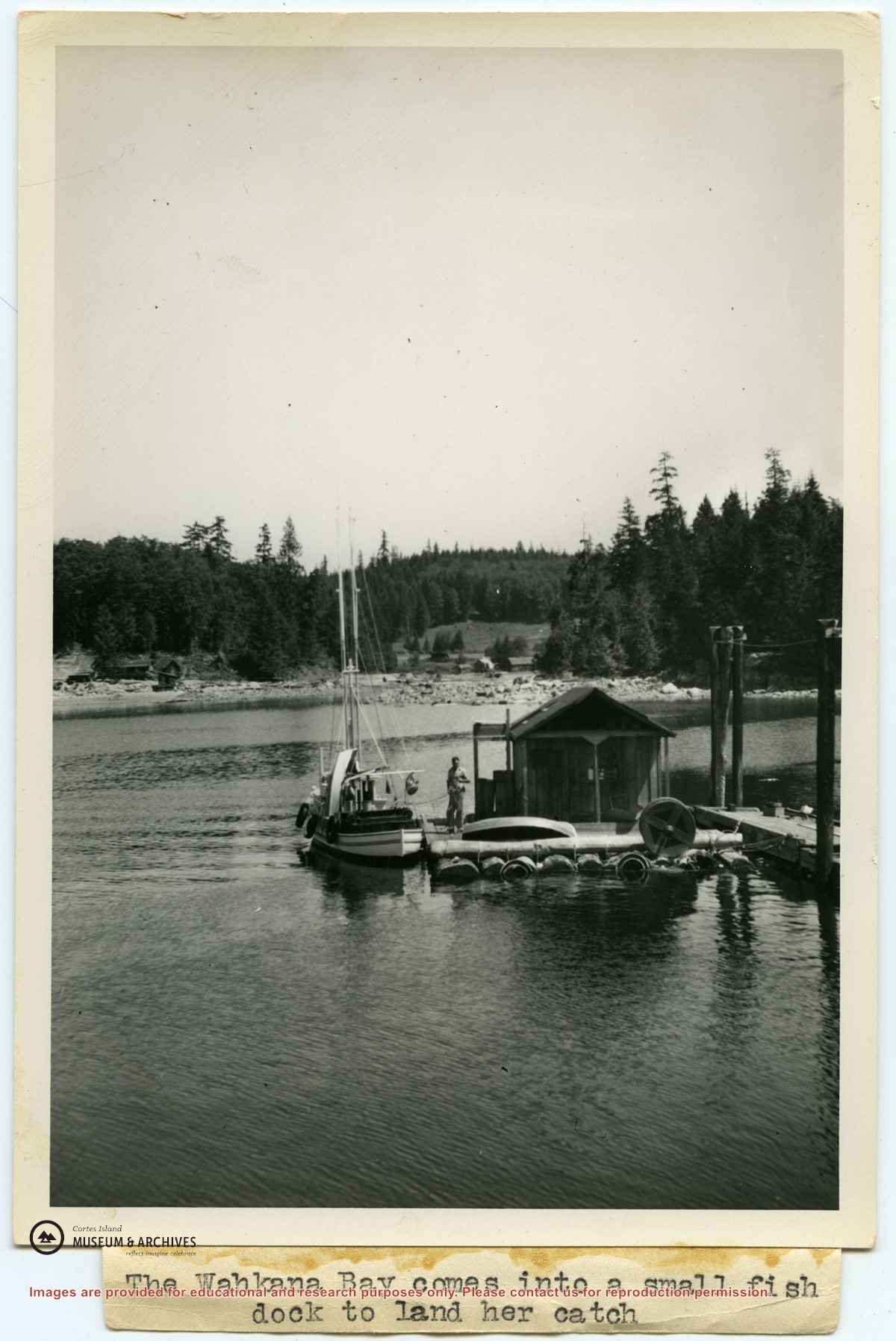
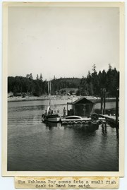
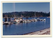
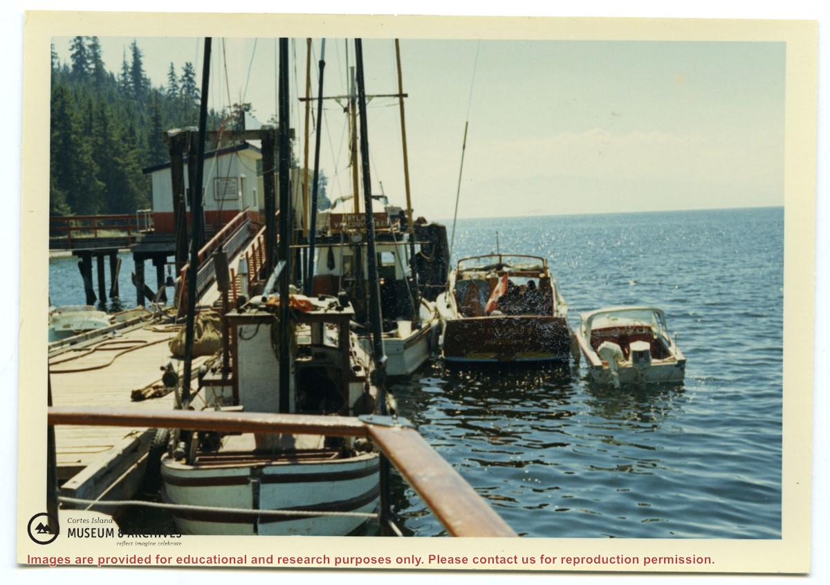
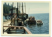
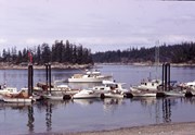
Photograph of Ken Slater's boat "Wahkana Bay" beside the fish scow at the end of the Whaletown dock. The buildings on the opposite side of Whaletown Bay may be seen in the background.
Photograph of Ken Slater's boat "Wahkana Bay" beside the fish scow at the end of the Whaletown dock. The buildings on the opposite side of Whaletown Bay may be seen in the background.
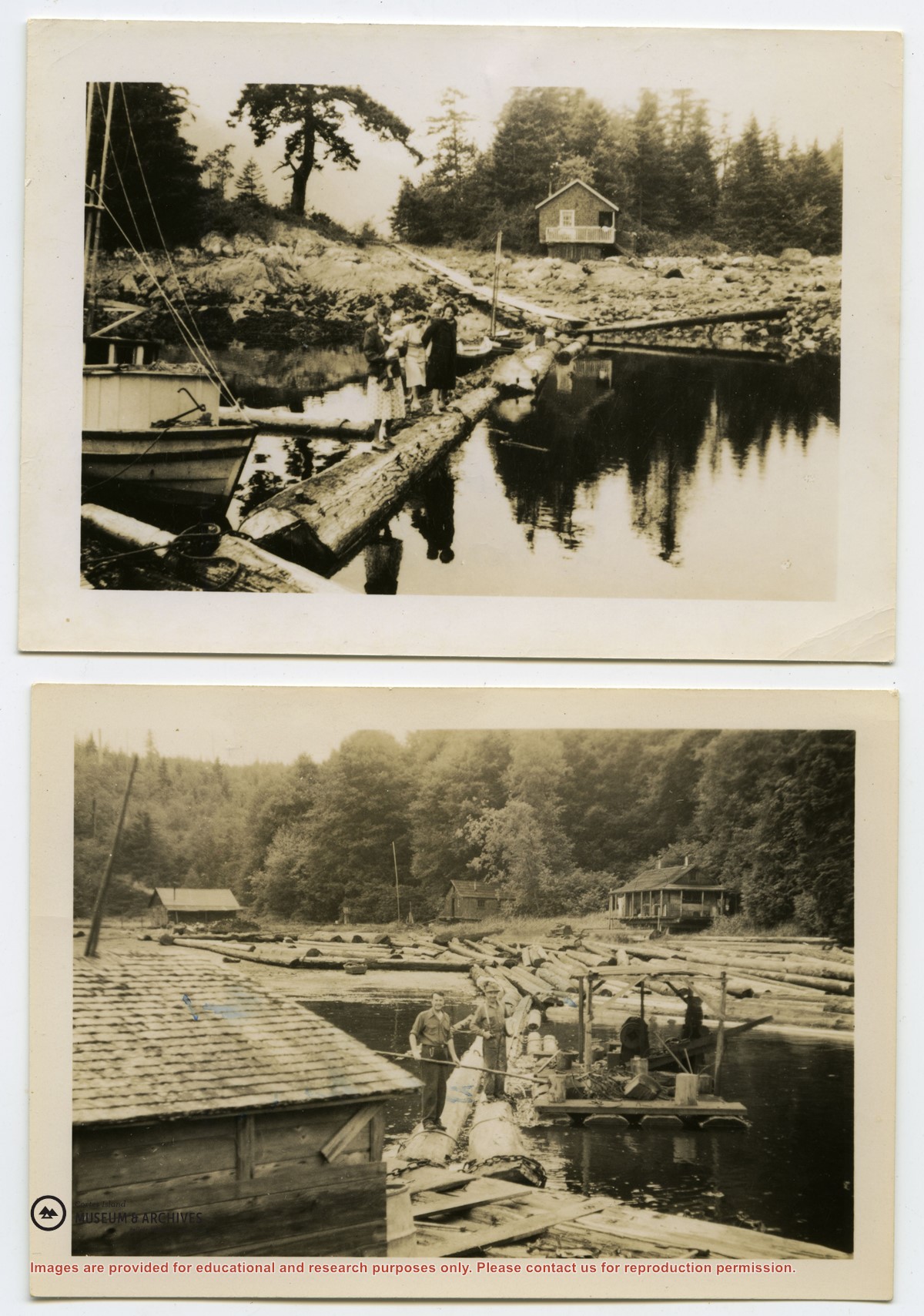
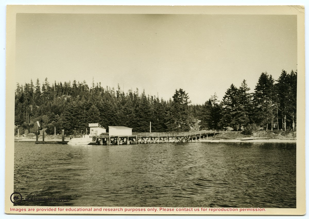
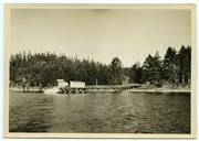
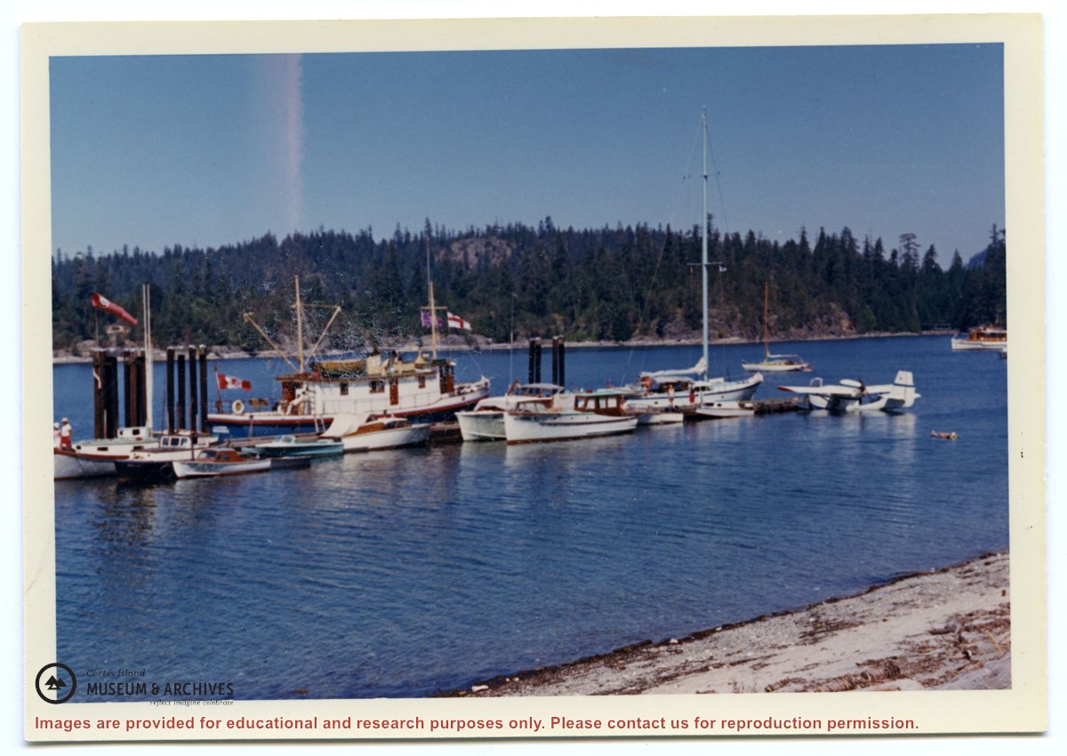
Photograph of the Manson's Landing wharf, taken from the water at high tide. It includes the oil and wharf sheds on the dock, an unknown scow boat with cabin at the float and the store ashore. Note: telephone poles from the original phone line across the mouth of the lagoon; higher banks along the shoreline.
Photograph of the Manson's Landing wharf, taken from the water at high tide. It includes the oil and wharf sheds on the dock, an unknown scow boat with cabin at the float and the store ashore. Note: telephone poles from the original phone line across the mouth of the lagoon; higher banks along the shoreline.
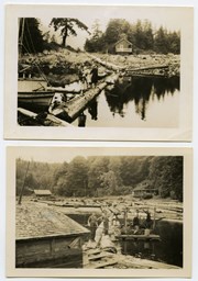
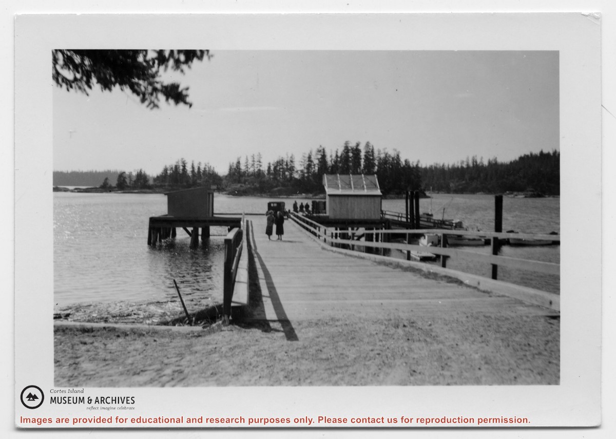
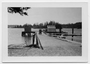
Photograph of Manson's Landing wharf, with Cat and Kitten Islands in the bacckground. Their are two sheds at the end of the dock above the ramp, and an old car is parked beside them. (date?)
Photograph of Manson's Landing wharf, with Cat and Kitten Islands in the bacckground. Their are two sheds at the end of the dock above the ramp, and an old car is parked beside them. (date?)
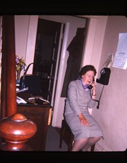
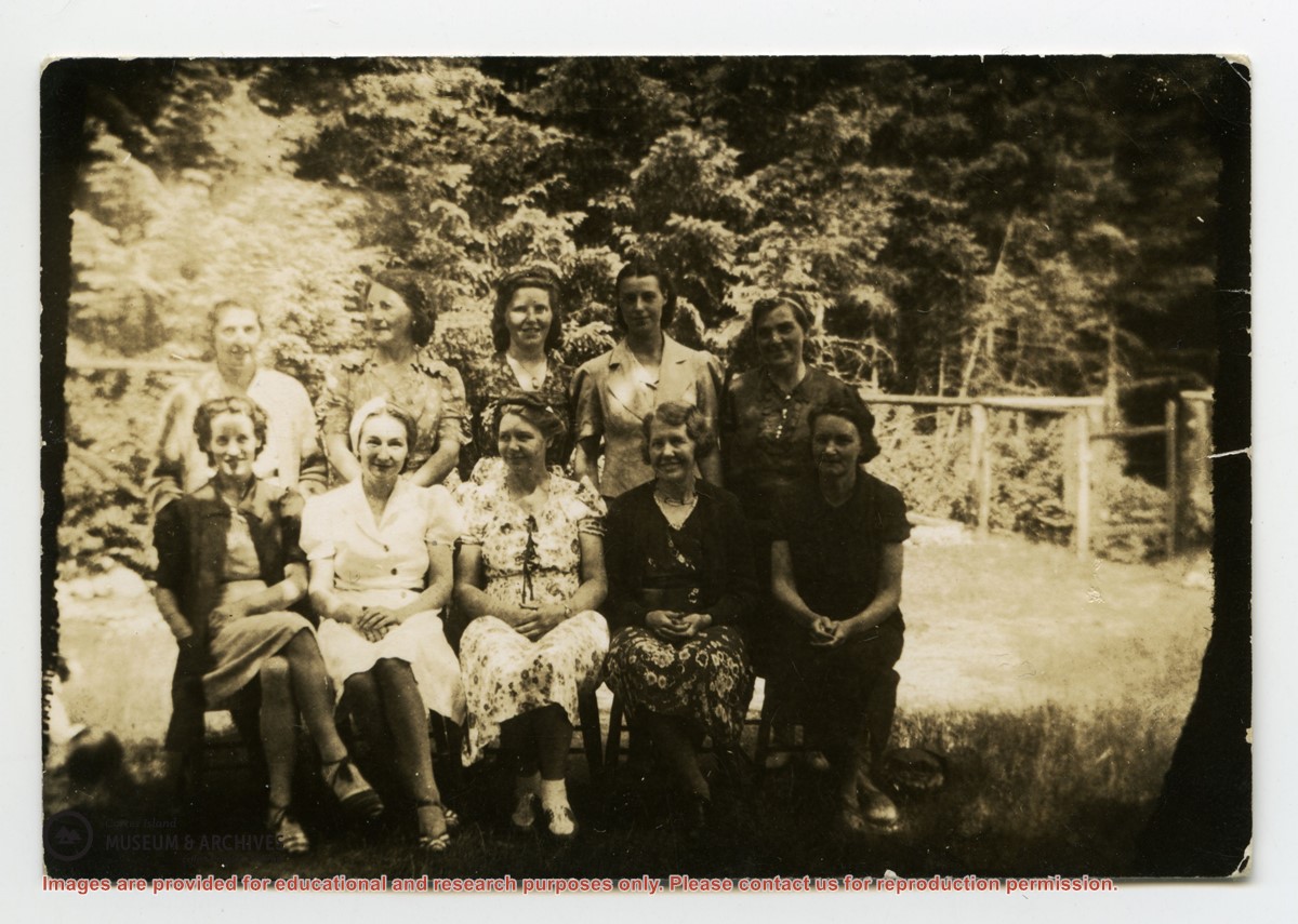
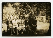
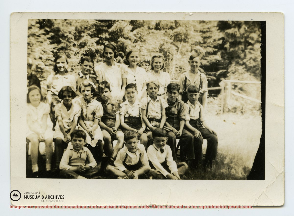
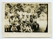
Back row L-R: unknown except Cal Campbell on R
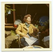
Middle row L-R: Eleanor Christiansen; ?; ?; Fred Brooks Jr, age 8; ?; Bob Hawkins, Bill Illman?, Frank Hayes
Front Row: Bob Christiansen on R
Back row L-R: unknown except Cal Campbell on R
Middle row L-R: Eleanor Christiansen; ?; ?; Fred Brooks Jr, age 8; ?; Bob Hawkins, Bill Illman?, Frank Hayes
Front Row: Bob Christiansen on R
Coloured map of southwestern BC showing municipalities, geographical features, land and sea routes, natural resources, etc. The back of the map is fully printed with information about BC and suggested travel itineraries.
Map needs preservation: edges are frayed and there are several tears.
Coloured map of southwestern BC showing municipalities, geographical features, land and sea routes, natural resources, etc. The back of the map is fully printed with information about BC and suggested travel itineraries.
Map needs preservation: edges are frayed and there are several tears.