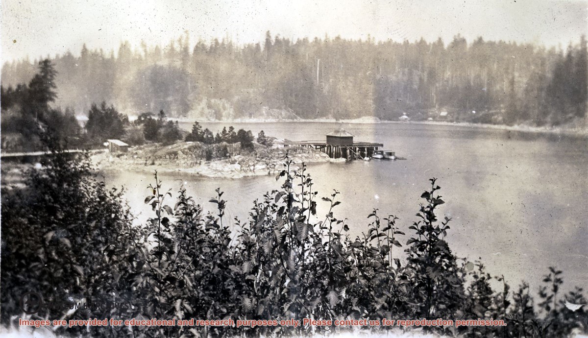
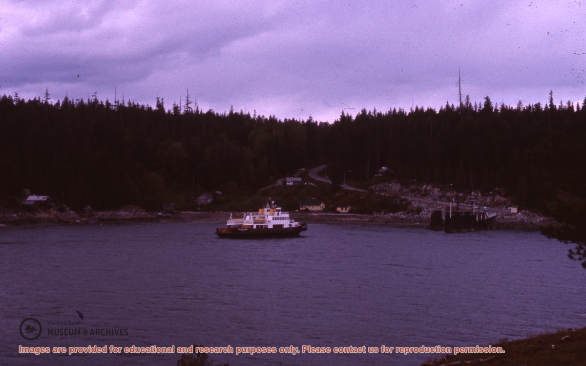
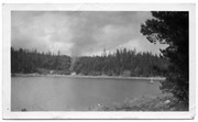
Photograph is an overview of Whaletown and Whaletown Bay, showing the dock and freight shed and the houses across the bay near the current site of the ferry dock.
Photograph is an overview of Whaletown and Whaletown Bay, showing the dock and freight shed and the houses across the bay near the current site of the ferry dock.
Series consists of clippings related to issues concerning Cortes Island, including ferry service and electrical power, building codes and the CIRA vs Raven Lumber court case.
Series consists of clippings related to issues concerning Cortes Island, including ferry service and electrical power, building codes and the CIRA vs Raven Lumber court case.
Series consists of a hand drawn map of Cortes Island showing places of interest to visitors, maps showing the location of hydro distribution lines on Cortes Island, maps related to zoning and rezoning on Cortes Island, the Official Settlement Plan, and a drawing showing an engineering plan for the Whaletown ferry terminal.
Series consists of a hand drawn map of Cortes Island showing places of interest to visitors, maps showing the location of hydro distribution lines on Cortes Island, maps related to zoning and rezoning on Cortes Island, the Official Settlement Plan, and a drawing showing an engineering plan for the Whaletown ferry terminal.
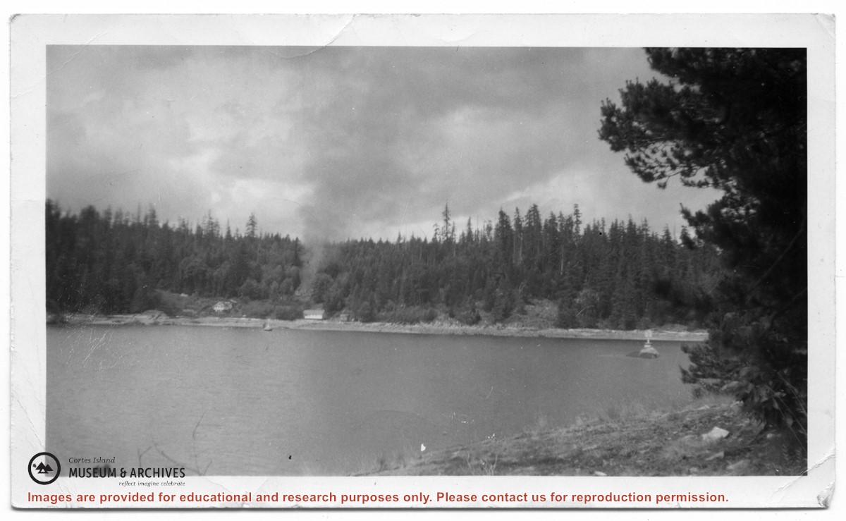
Photograph of Billy Tait standing on the dock in Whaletown. The channel marker and houses near the present-day ferry dock can be seen in the background.
Photograph of Billy Tait standing on the dock in Whaletown. The channel marker and houses near the present-day ferry dock can be seen in the background.