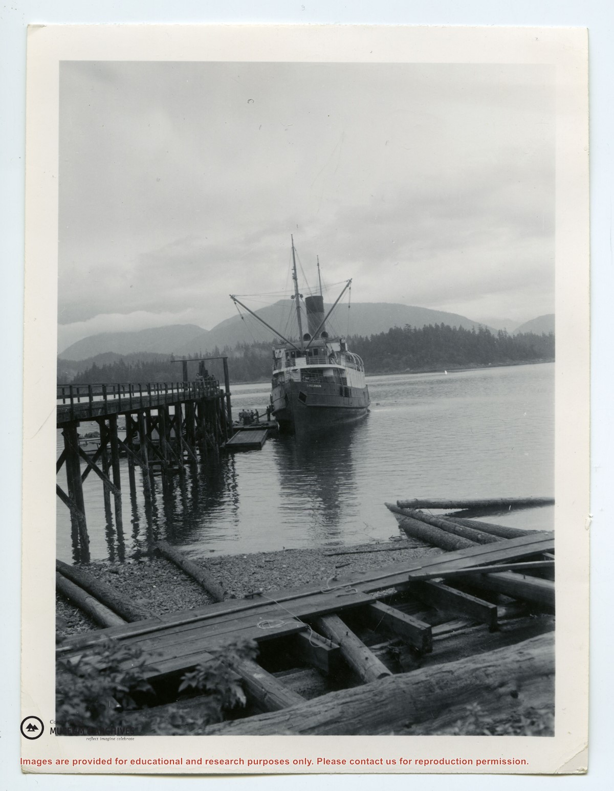
Photograph of Whaletown Bay taken from the water, showing the navigation marker at the entrance, and the houses to the left of the future site of the ferry landing.
Photograph of Whaletown Bay taken from the water, showing the navigation marker at the entrance, and the houses to the left of the future site of the ferry landing.
File contains right-of-way licenses for Cortes Island beach accesses at Hayes Rd, Seascape Rd, Gnat Rd and Moon Rd; applications for the ROW by the CSRD; cost estimates and construction guidelines; and correspondence.
File contains right-of-way licenses for Cortes Island beach accesses at Hayes Rd, Seascape Rd, Gnat Rd and Moon Rd; applications for the ROW by the CSRD; cost estimates and construction guidelines; and correspondence.


.jpg?width=1200&404=no-img.jpg&watermark=wmk)
.jpg?width=1200&404=no-img.jpg&watermark=wmk)
.jpg?width=180&404=no-img.jpg)