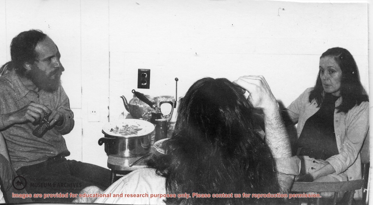
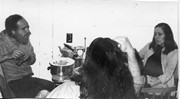
Doris Hope provided a fish and chips dinner for the Refuge Cove community every Friday, cooking on two large propane burners set up on the back porch of her house,
Doris Hope provided a fish and chips dinner for the Refuge Cove community every Friday, cooking on two large propane burners set up on the back porch of her house,
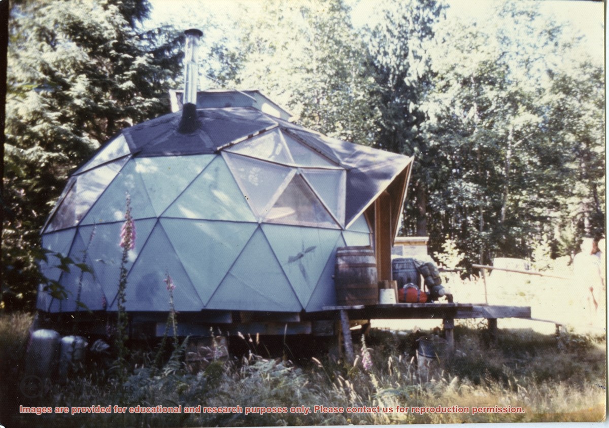
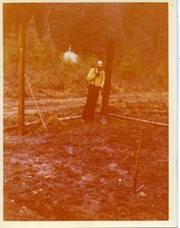
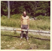
Photograph of Paul Kirmmse's dome at Redlands, a 160-acre land cooperative at the north end of Robertson Road. Redlands is the name given to the property by the original pre-emptors, the David and Alice Robertson family.
Photograph of Paul Kirmmse's dome at Redlands, a 160-acre land cooperative at the north end of Robertson Road. Redlands is the name given to the property by the original pre-emptors, the David and Alice Robertson family.
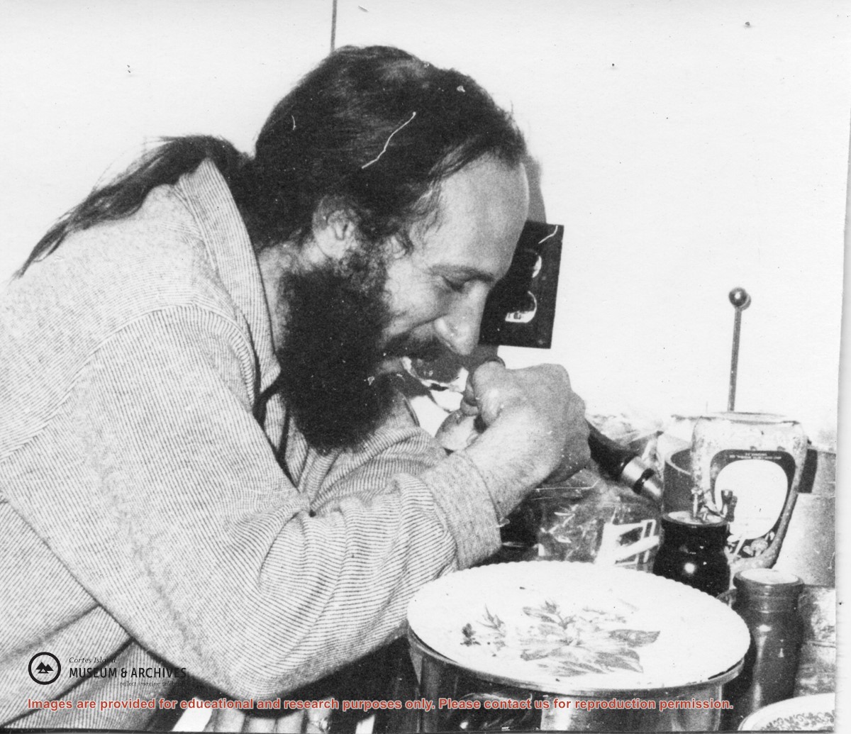
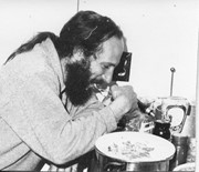
Photograph of Michael Gibbons, taken beside Alice's house at the end of the board walk at Refuge Cove. Alice was the cook at the Hope's logging camp and stayed on after the camp closed.
Photograph of Michael Gibbons, taken beside Alice's house at the end of the board walk at Refuge Cove. Alice was the cook at the Hope's logging camp and stayed on after the camp closed.
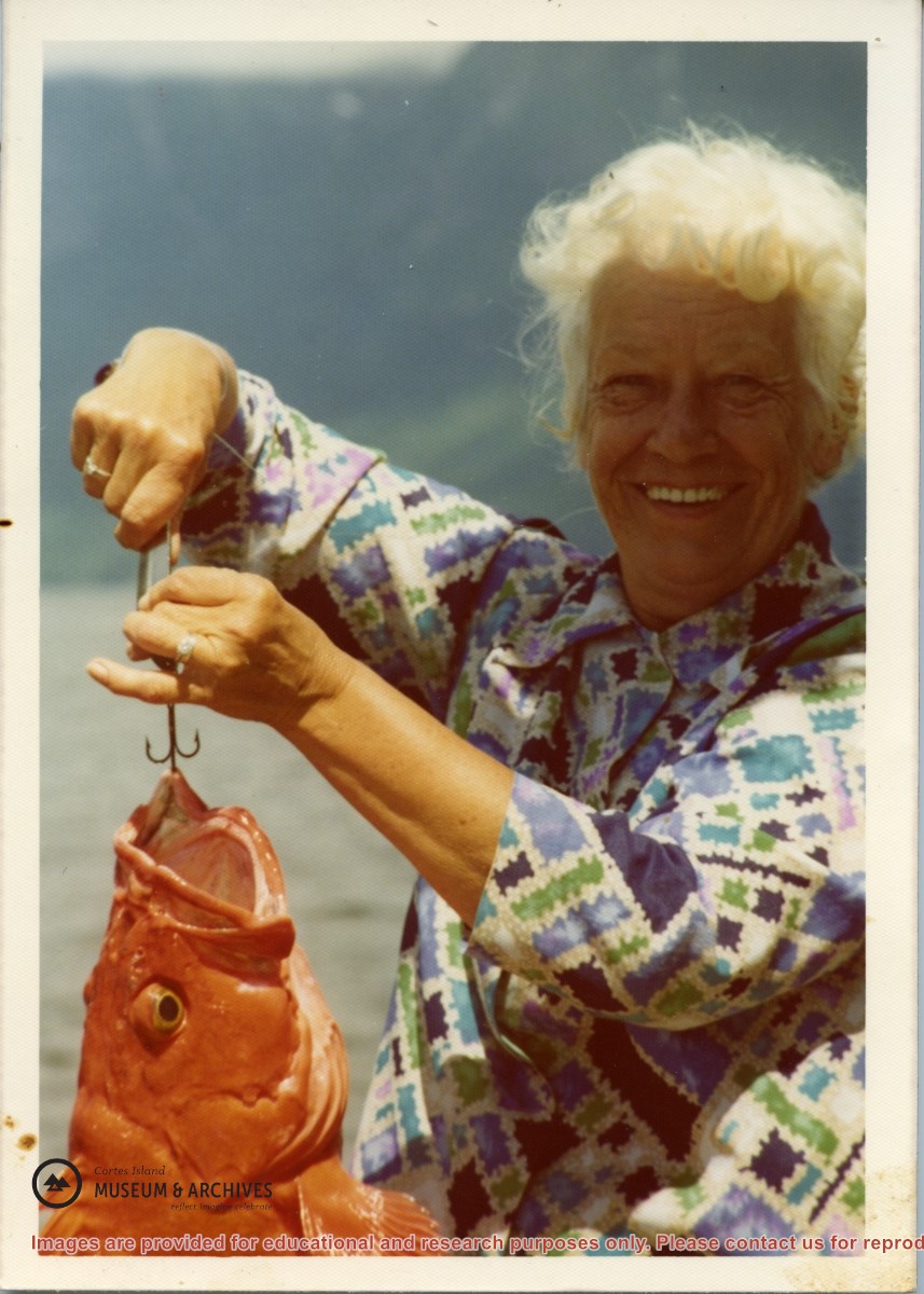
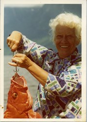
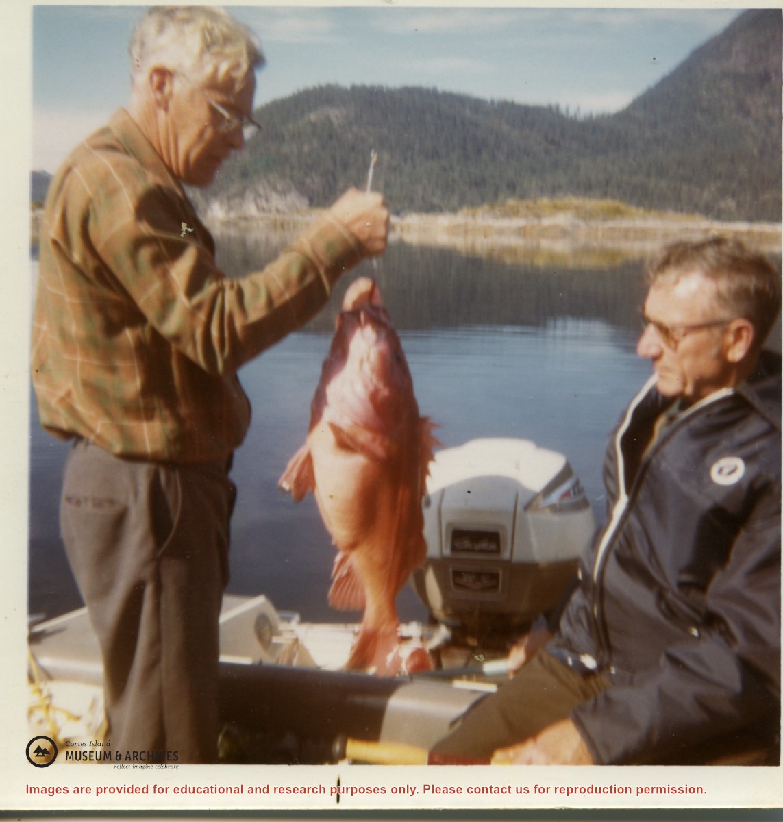
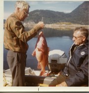
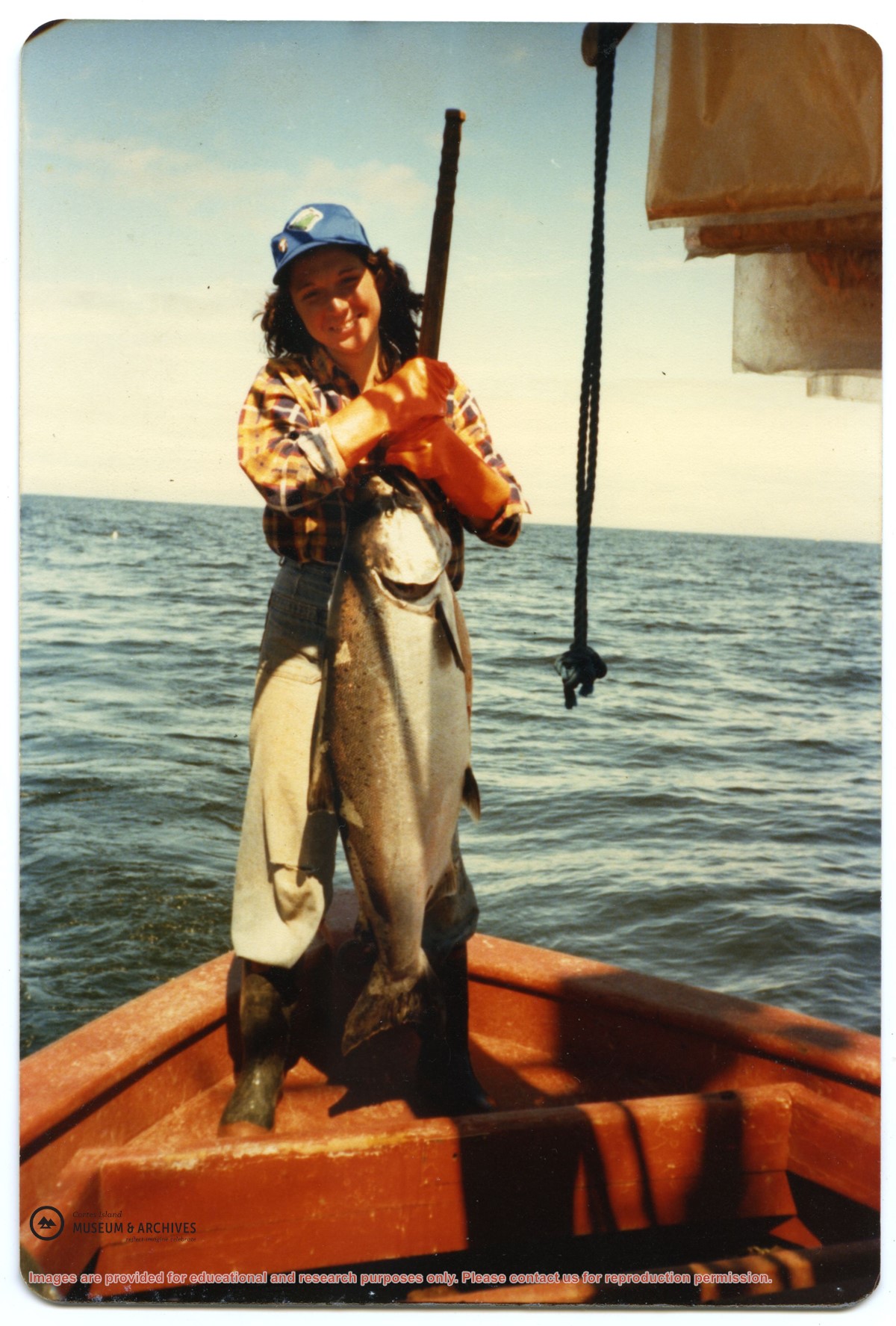
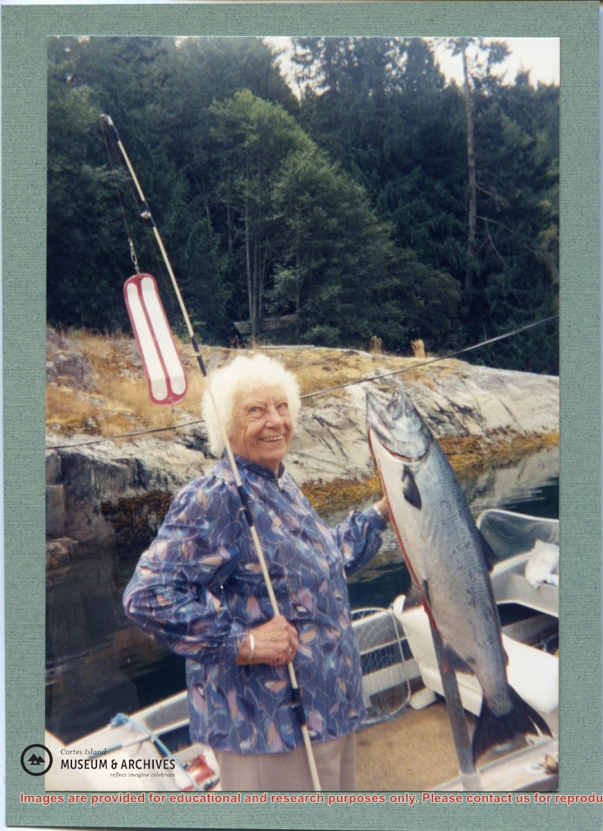
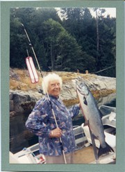
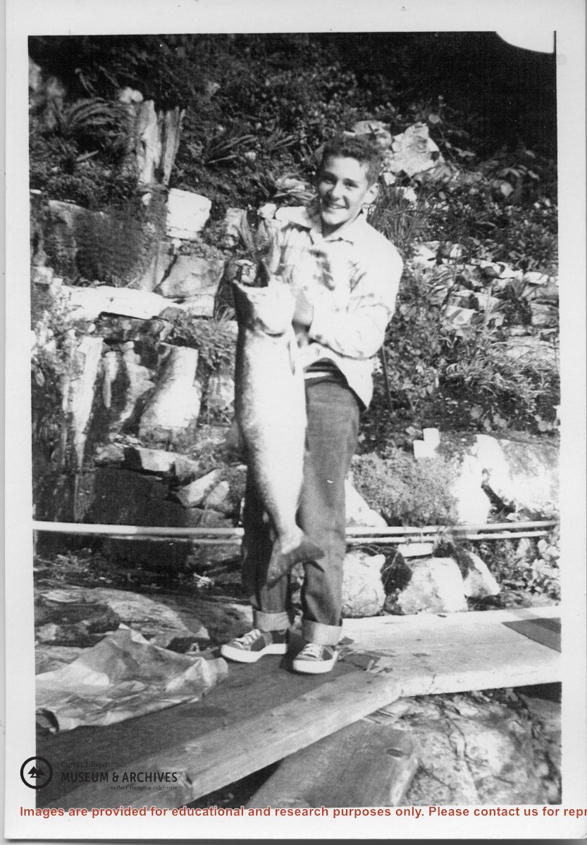
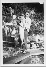
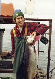
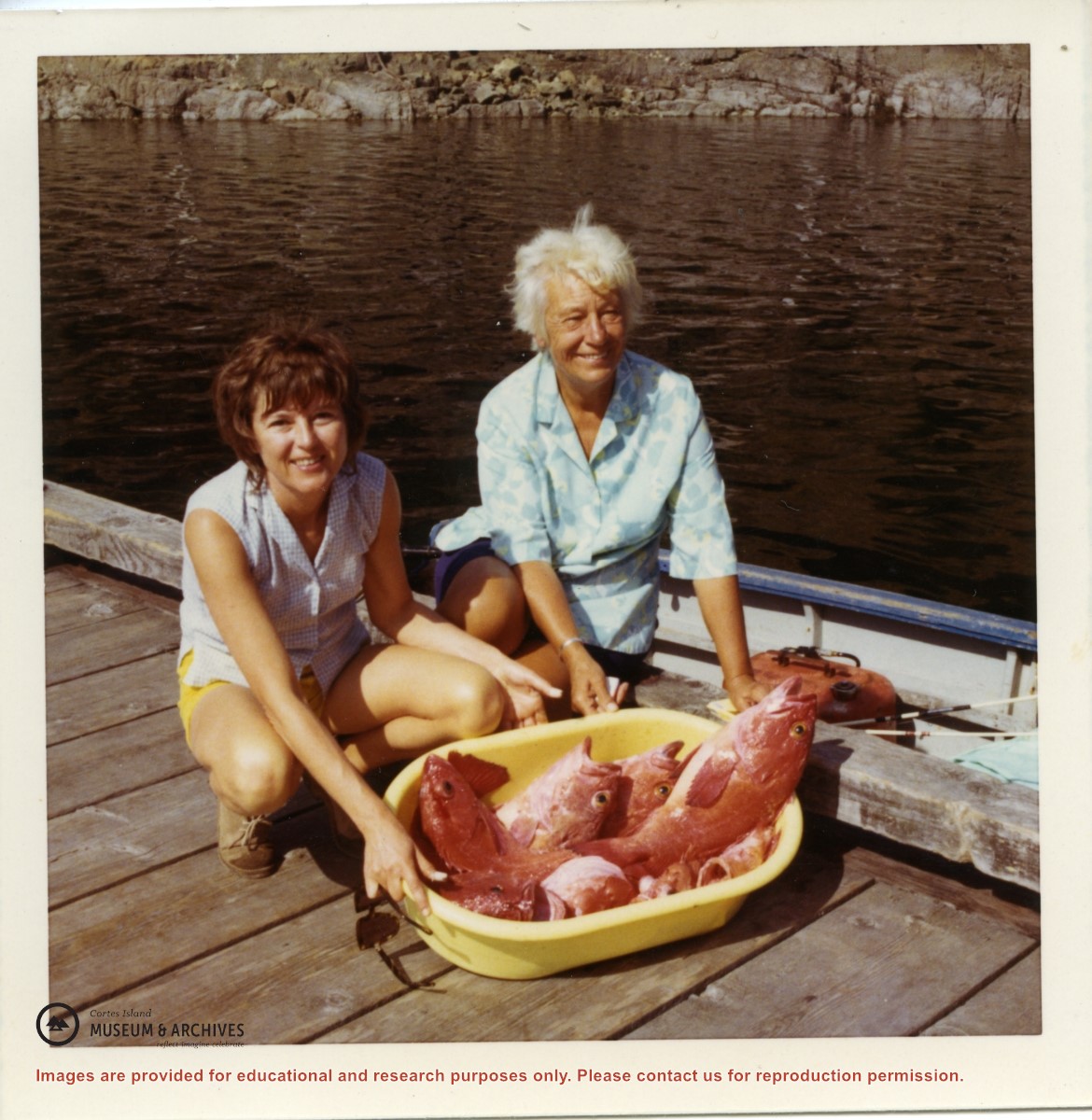
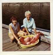
Norm Gibbons holding a salmon caught while fishing with Bud Jarvis. Bud Jarvis married Rene Hope's daughter Joan and they were at Refuge Cove for their honeymoon.
Norm Gibbons holding a salmon caught while fishing with Bud Jarvis. Bud Jarvis married Rene Hope's daughter Joan and they were at Refuge Cove for their honeymoon.
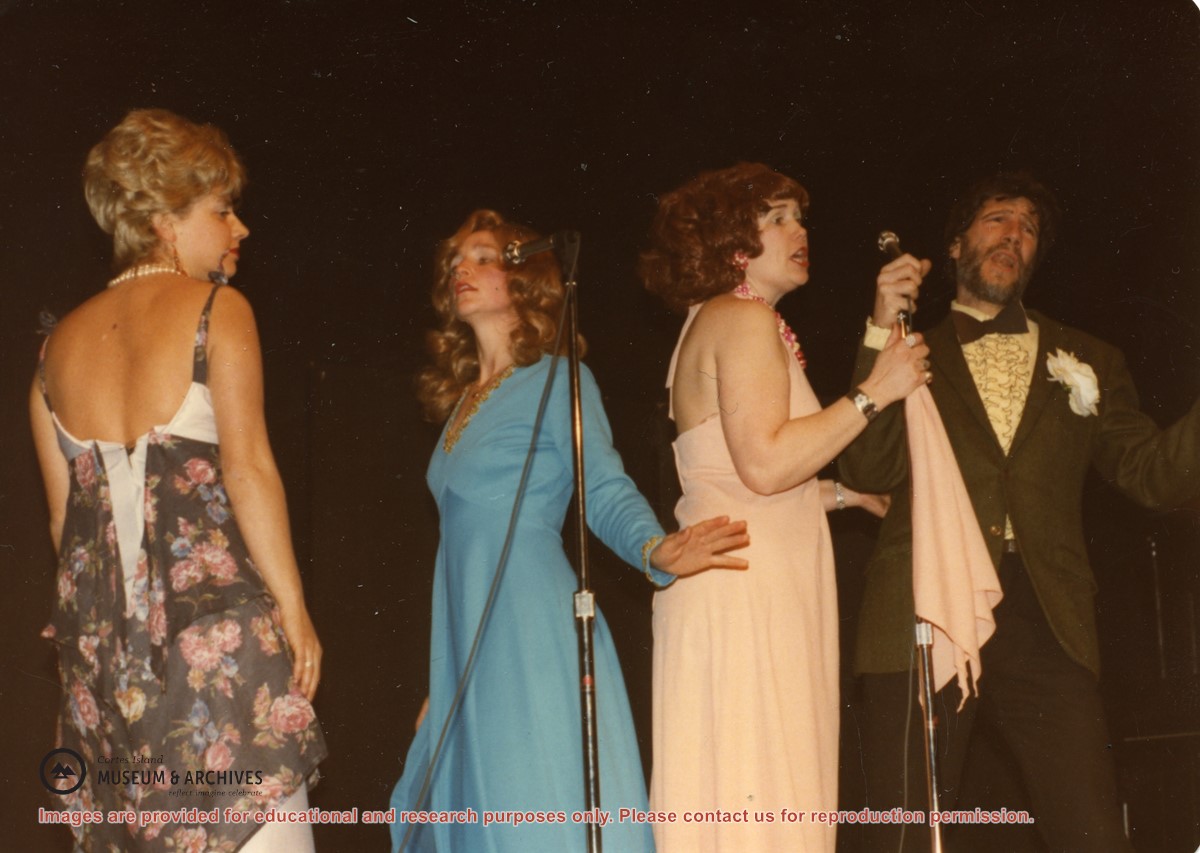
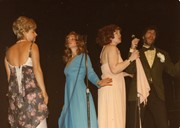
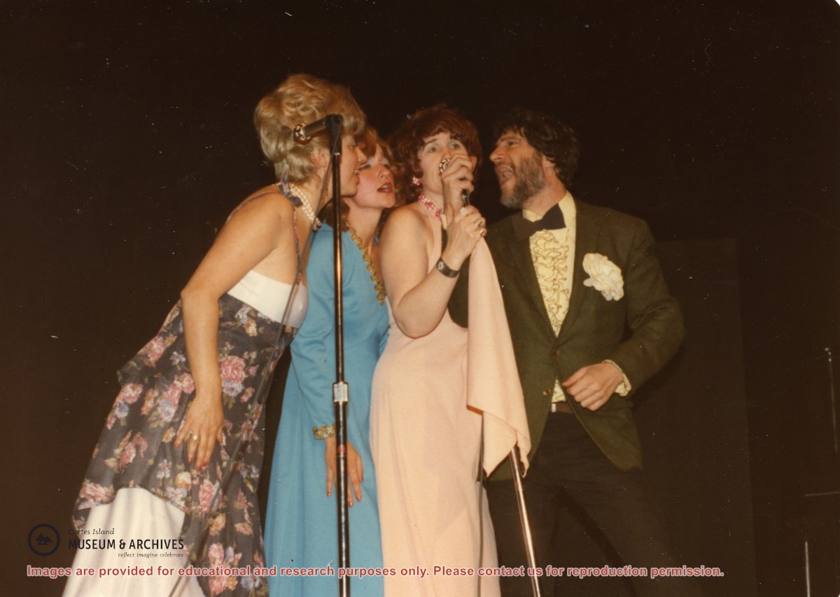
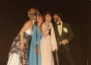
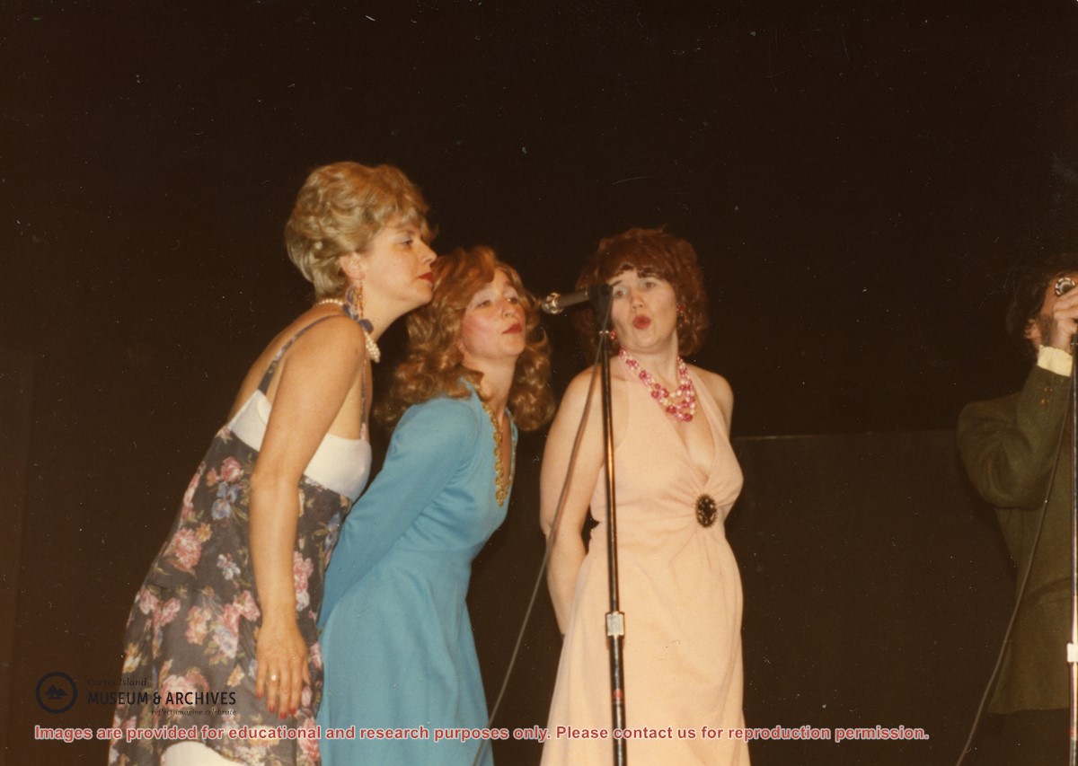
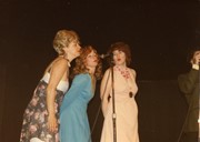
(L to R): Isolde Ruthenberg, Sheril Matthews, Gloria Jorg and Paul Kirmmse performing "Hit the Road Jack" at a Gorge Hall Variety Night. The name of the group was based on the doo-wop band Ray Charles and the Raylettes.
(L to R): Isolde Ruthenberg, Sheril Matthews, Gloria Jorg and Paul Kirmmse performing "Hit the Road Jack" at a Gorge Hall Variety Night. The name of the group was based on the doo-wop band Ray Charles and the Raylettes.
File contains a Key Map to the sections covered in Files 17-19; a list of the sections researched and two pages of notes.
It contains photocopies of Crown Grants and subsequent title changes for the following:
Charles Allen: 1908, Crown Grant for part of NE 1/4 of Sec. 21 lying north of Gorge Harbour (property known as Bute Ranch); 46 acres for $46.00
Bernard Robinson Allen: 1919, Crown Grant for NW 1/4 of Sec. 21; 162 acres for $247.00
Charles Allen: 1905, Crown Grant for SE 1/4 of Sec. 34
(Files 17 through 19 are from the same envelope.)
File contains a map key to the areas of Sections 17, 18, 19, 22 and 34 (south of Gorge Harbour) which were researched (Information in Files 3-7).
It contains photocopies of original land grants and subsequent conveyances for the following:
Reginald James Smith: 1946, Crown Grant 165414I for fractional SE 1/4 of Sec 23, 1946 (the Thunder Road subdivision at the eastern end of Gorge Harbour).
(Files 3 through 7 are from the same envelope.)