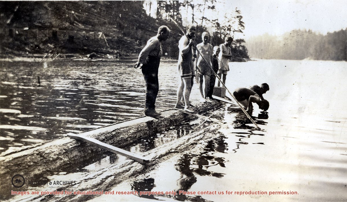
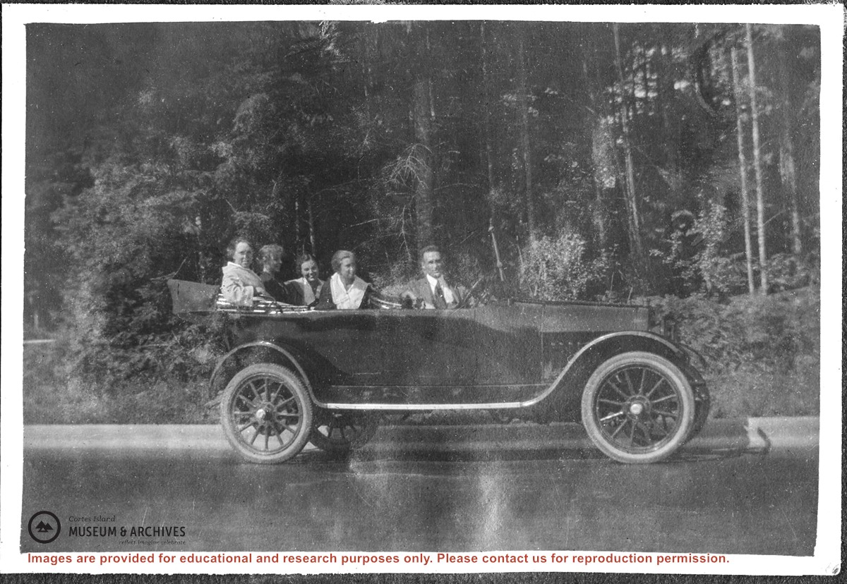
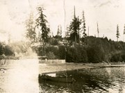
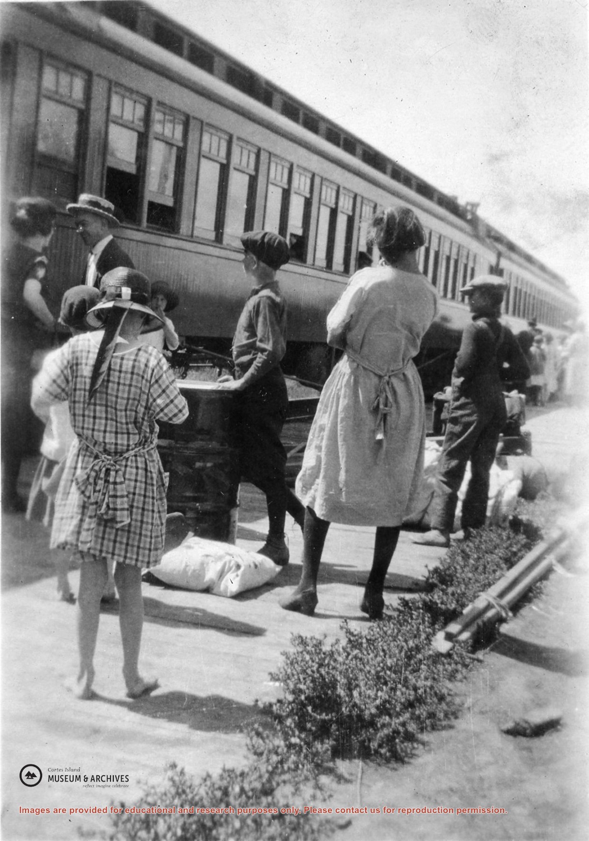
Photograph of seven people, all but one in bathing suits, standing on a dock made of two logs with a few boards nailed across them, in Carrington Lagoon.
Photograph of seven people, all but one in bathing suits, standing on a dock made of two logs with a few boards nailed across them, in Carrington Lagoon.
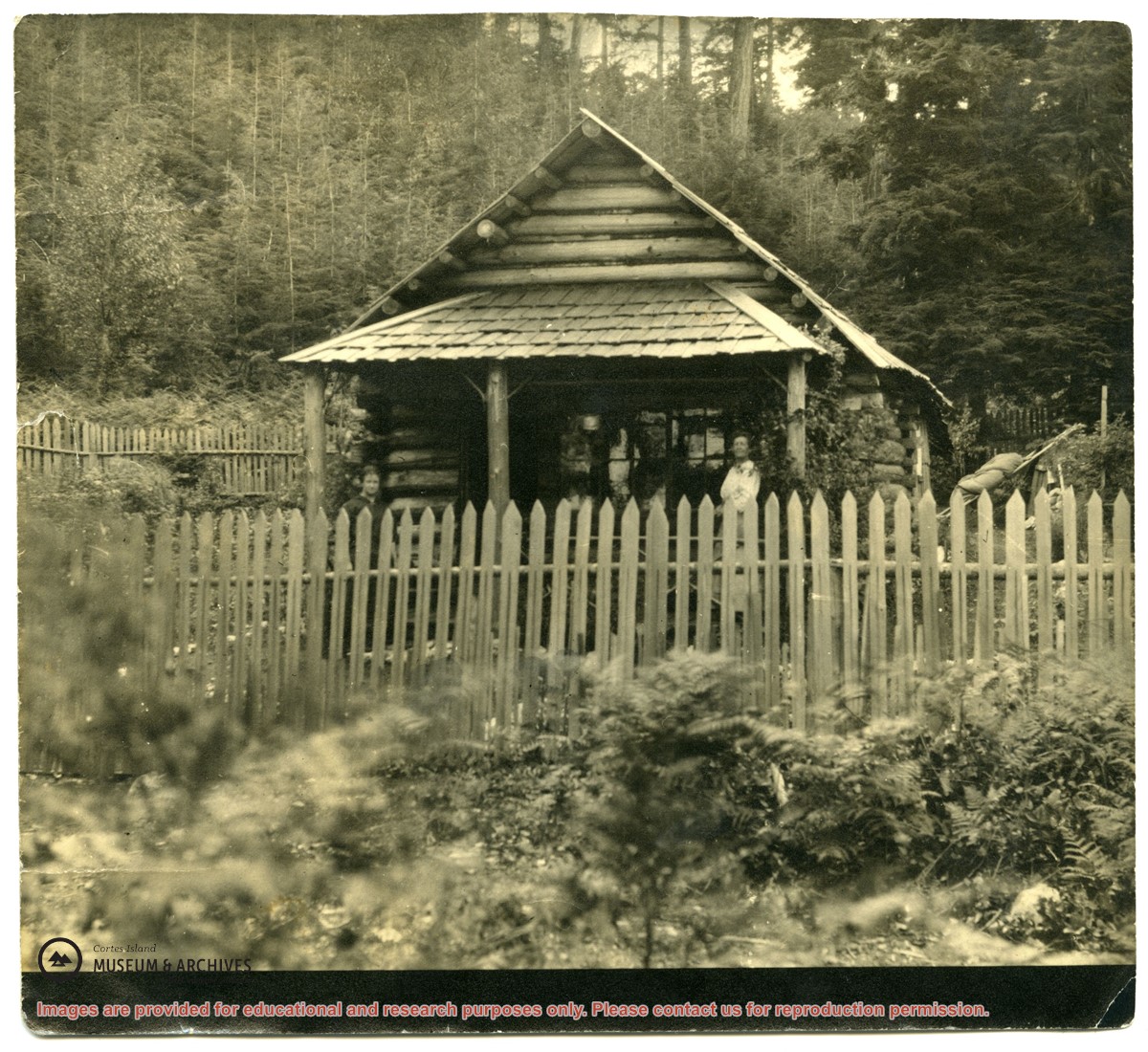
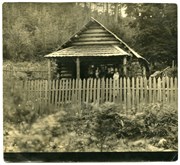
Photograph of a log house with a picket fence around it; a woman is standing on the porch. The picture was once glued into a photograph album. It is possibly a photograph of Mabel Huck's house at "Hell's Half Acre."
Photograph of a log house with a picket fence around it; a woman is standing on the porch. The picture was once glued into a photograph album. It is possibly a photograph of Mabel Huck's house at "Hell's Half Acre."
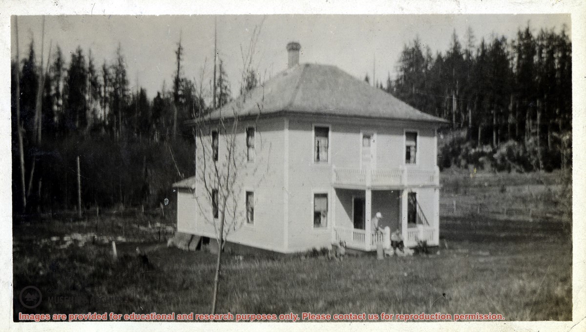
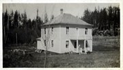
Photograph of Bert and Pauline Middleton's two-story house "Braeside" in Whaletown, located on what is now Sawmill Rd. The house is in a large clearing; the figures of two people and a dog can be seen on the porch.
Photograph of Bert and Pauline Middleton's two-story house "Braeside" in Whaletown, located on what is now Sawmill Rd. The house is in a large clearing; the figures of two people and a dog can be seen on the porch.
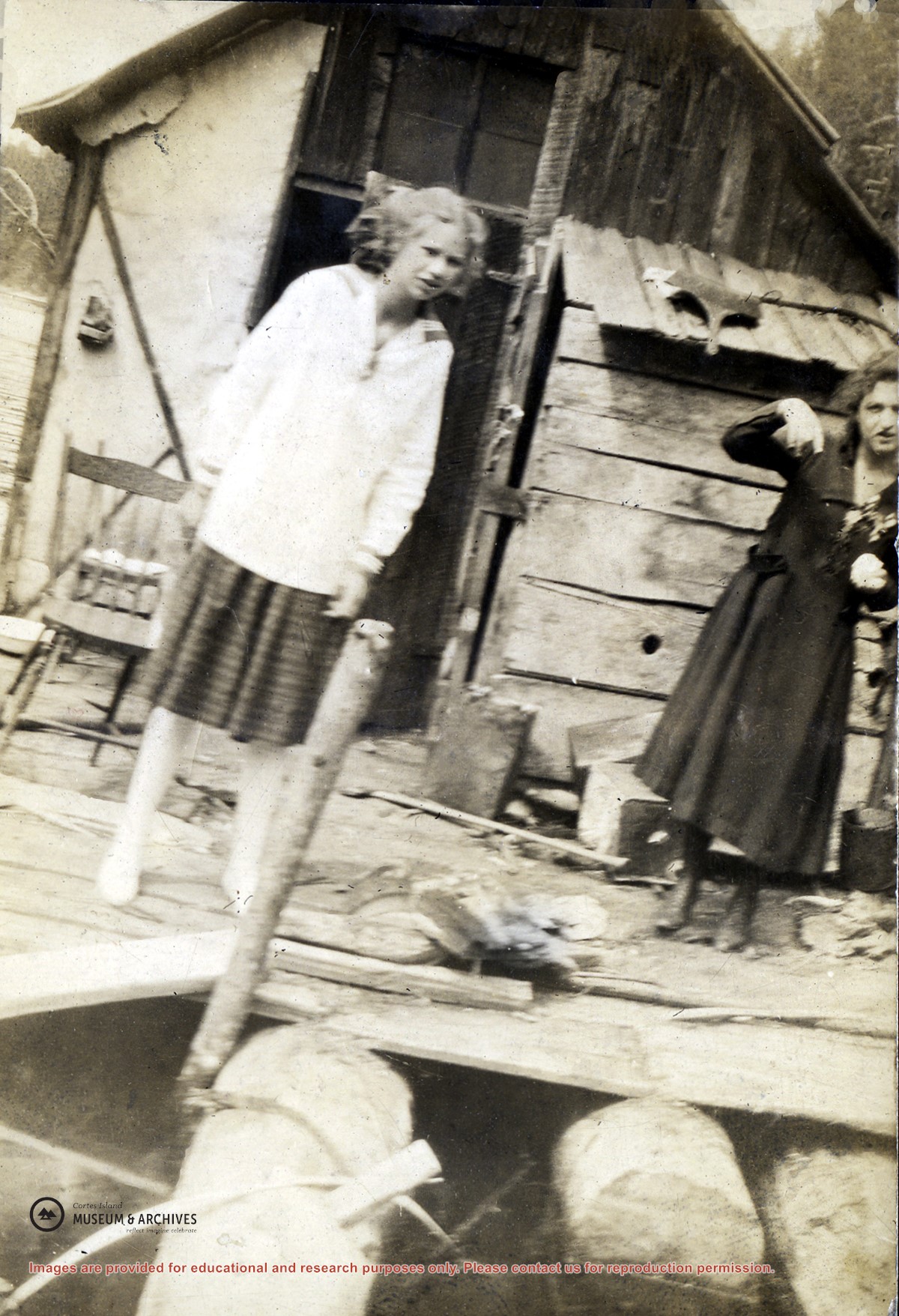
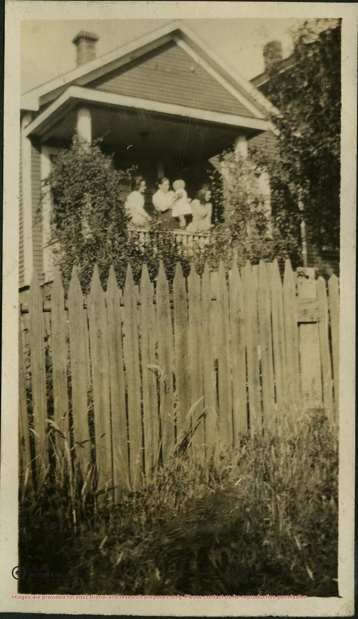
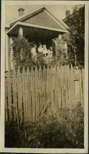
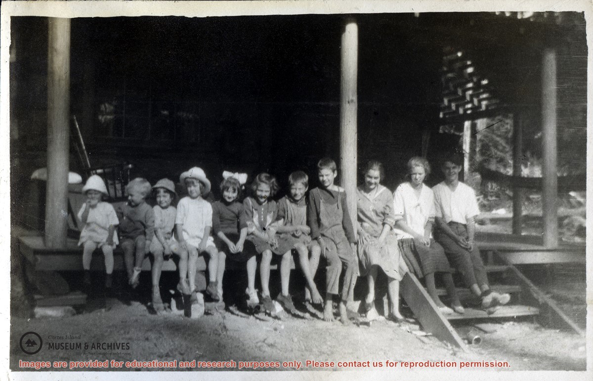
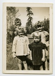
Photograph of four people on the porch of Madge Christie's house, a picket fence in the foreground. Madge Christie was the daughter of Bill and Mary Barrett of Green Valley; she lived in Vancouver after marrying Hugh Christie.
Photograph of four people on the porch of Madge Christie's house, a picket fence in the foreground. Madge Christie was the daughter of Bill and Mary Barrett of Green Valley; she lived in Vancouver after marrying Hugh Christie.
Information packets on the flaura, fauna, and marine life of Manson's Lagoon from CIMAS, Fred and Ruth Zwickel, Sierra Sullivan, and others, 1990-2007. Transcript from Ken Summers in conversation with Susan Ellingsen, Dianne Hentschel and Doreen Thompson, 2005.
Information packets on the flaura, fauna, and marine life of Manson's Lagoon from CIMAS, Fred and Ruth Zwickel, Sierra Sullivan, and others, 1990-2007. Transcript from Ken Summers in conversation with Susan Ellingsen, Dianne Hentschel and Doreen Thompson, 2005.
Clippings and brochures featuring history of building, formation of the Old Schoolhouse Art Gallery, and artists and exhibits at the gallery, 1973-2018
Clippings and brochures featuring history of building, formation of the Old Schoolhouse Art Gallery, and artists and exhibits at the gallery, 1973-2018
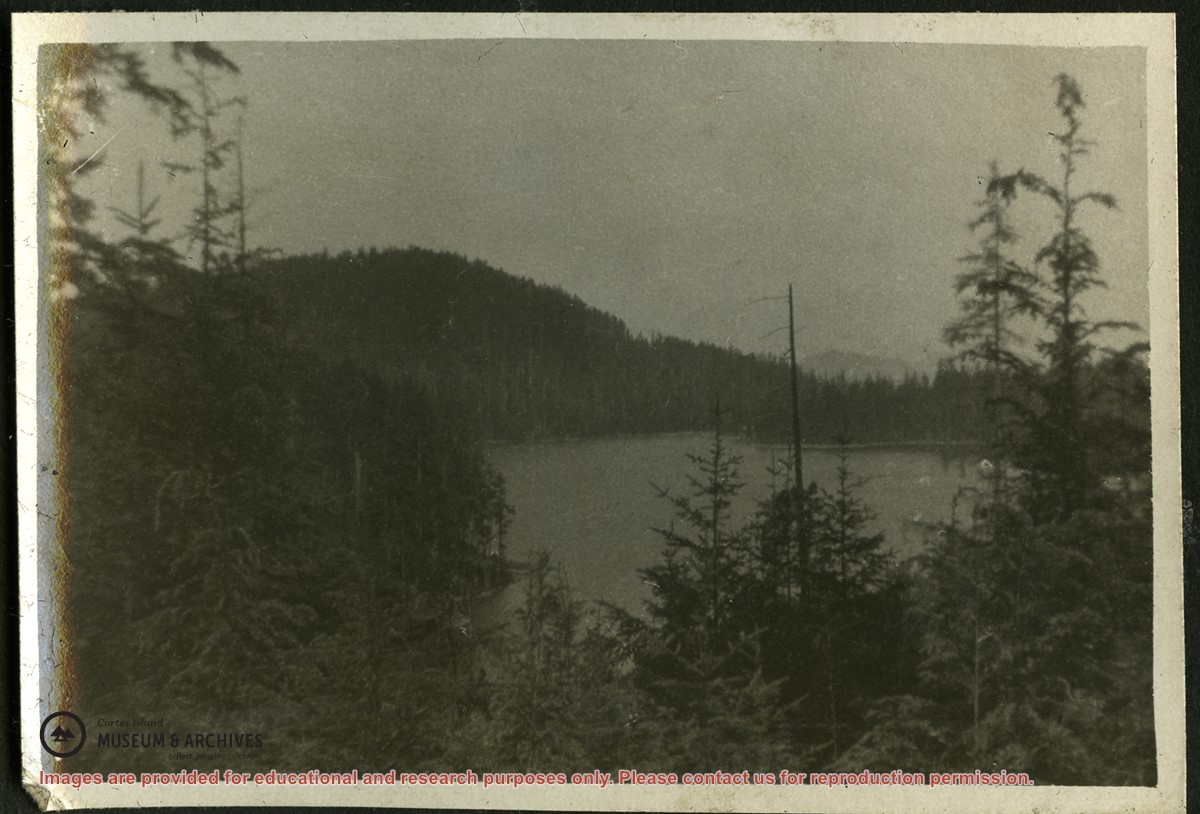
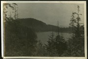
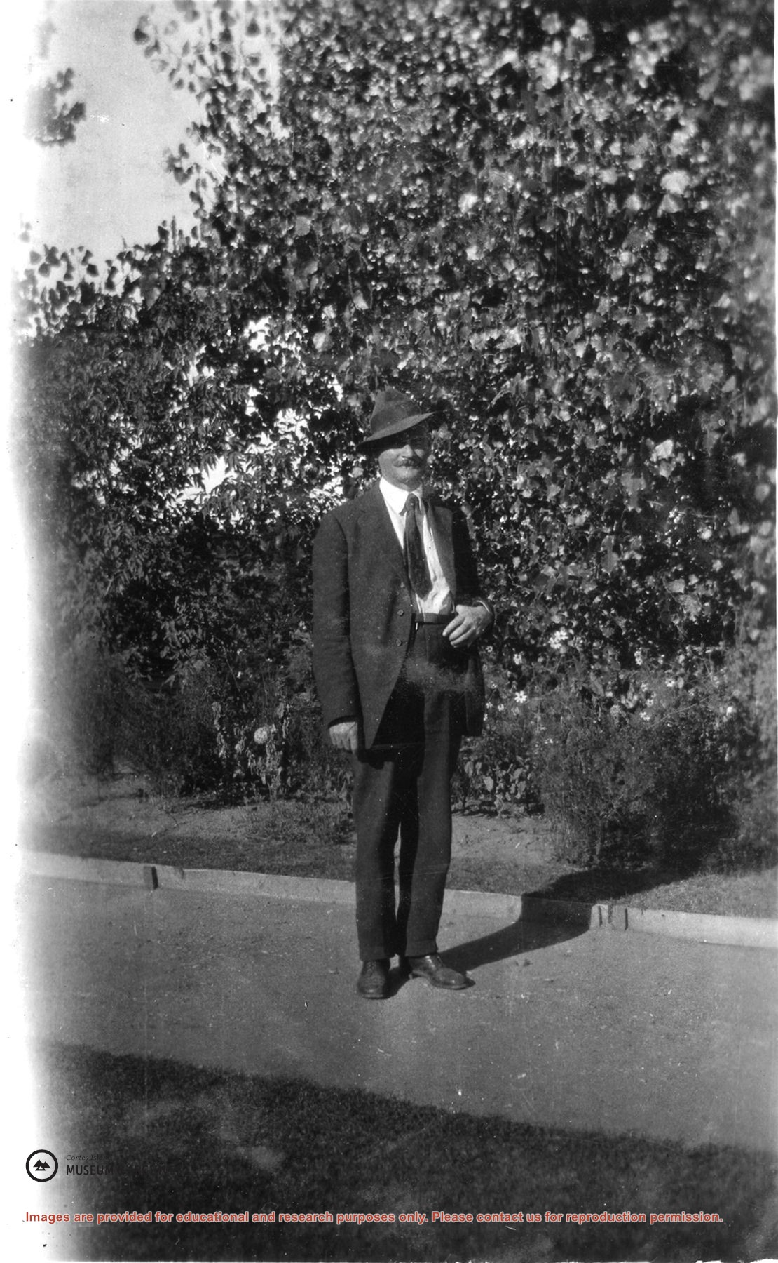
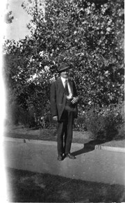
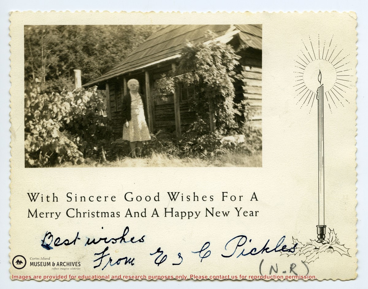
Info on Carrington Bay history and early settler homesteaders from late 1800s onward; scans from Whaletown to 1930 album; scan of location for Department of Energy, Mines and Resources, 1945; park brochure; clippings about Carrington from 1982-2014; excerpt from interview with Clarence and Etta Byers, 2001; notes from exhibit curation (labels, photo captions, etc); excerpts rom June Cameron's Destination Cortez; topographic map of Green Mountain; emails about exhibit; printed photographs for exhibit. Keywords: drowing, Island Timberland, Coulter Bay, stream keepers
Info on Carrington Bay history and early settler homesteaders from late 1800s onward; scans from Whaletown to 1930 album; scan of location for Department of Energy, Mines and Resources, 1945; park brochure; clippings about Carrington from 1982-2014; excerpt from interview with Clarence and Etta Byers, 2001; notes from exhibit curation (labels, photo captions, etc); excerpts rom June Cameron's Destination Cortez; topographic map of Green Mountain; emails about exhibit; printed photographs for exhibit. Keywords: drowing, Island Timberland, Coulter Bay, stream keepers
File contains a Key Map to the sections covered in Files 17-19; a list of the sections researched and two pages of notes.
It contains photocopies of Crown Grants and subsequent title changes for the following:
Charles Allen: 1908, Crown Grant for part of NE 1/4 of Sec. 21 lying north of Gorge Harbour (property known as Bute Ranch); 46 acres for $46.00
Bernard Robinson Allen: 1919, Crown Grant for NW 1/4 of Sec. 21; 162 acres for $247.00
Charles Allen: 1905, Crown Grant for SE 1/4 of Sec. 34
(Files 17 through 19 are from the same envelope.)