Series consists of a hand drawn map of Cortes Island showing places of interest to visitors, maps showing the location of hydro distribution lines on Cortes Island, maps related to zoning and rezoning on Cortes Island, the Official Settlement Plan, and a drawing showing an engineering plan for the Whaletown ferry terminal.
Series consists of a hand drawn map of Cortes Island showing places of interest to visitors, maps showing the location of hydro distribution lines on Cortes Island, maps related to zoning and rezoning on Cortes Island, the Official Settlement Plan, and a drawing showing an engineering plan for the Whaletown ferry terminal.
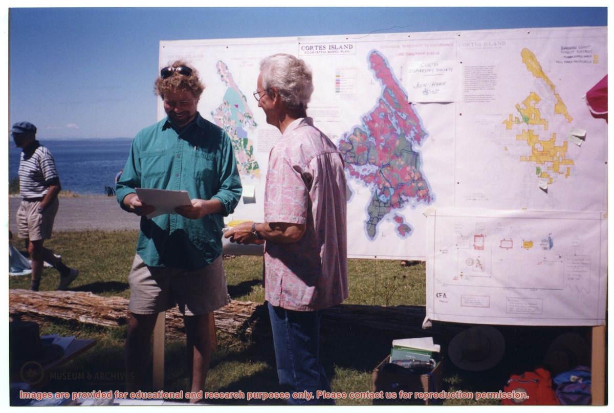
Various maps of Cortes Island and surrounding areas with tourist info, trails, provincial parks, local businesses, sites, property lines, topography, charts, etc, 1916-present. Info on Hiking and Orienteering Map of Cortes Island, 2003, and Cortes Island Community Mapping Project, 2011. Info on Discovery Islands Ecosystem Mapping (DIEM), 2012-2014.
Various maps of Cortes Island and surrounding areas with tourist info, trails, provincial parks, local businesses, sites, property lines, topography, charts, etc, 1916-present. Info on Hiking and Orienteering Map of Cortes Island, 2003, and Cortes Island Community Mapping Project, 2011. Info on Discovery Islands Ecosystem Mapping (DIEM), 2012-2014.
Strathcona Regional District Official Community Plan and open letters to the Cortes Island community, 2011-2012. Additional documents relating to the Official Community plan, 2009-2012.
Strathcona Regional District Official Community Plan and open letters to the Cortes Island community, 2011-2012. Additional documents relating to the Official Community plan, 2009-2012.