File contains zoning maps for Bylaw 41, Electoral Area I, Schedules A1-A7 with revisions to 1999. There is a map of the whole island and larger scale maps of island areas.
File contains a photocopied section map of the northern part of Cortes Island (from just south of Gorge Harbour), coloured to indicate areas for which a Crown Grant was located and areas of ungranted Crown land which still appear to be owned by the government. Scale is 1 mile to 1 inch.
File contains a photocopied section map of the northern part of Cortes Island (from just south of Gorge Harbour), coloured to indicate areas for which a Crown Grant was located and areas of ungranted Crown land which still appear to be owned by the government. Scale is 1 mile to 1 inch.
File contains a copy of the bylaw and map of 1995, a summary of the changes (meant to reconcile 25 year gap between the previous zoning bylaws and the current OCP), and a completion and adoption strategy.
File contains a copy of the bylaw and map of 1995, a summary of the changes (meant to reconcile 25 year gap between the previous zoning bylaws and the current OCP), and a completion and adoption strategy.
File contains a map key to the areas of Sections 17, 18, 19, 22 and 34 (south of Gorge Harbour) which were researched (Information in Files 3-7).
It contains photocopies of original land grants and subsequent conveyances for the following:
Reginald James Smith: 1946, Crown Grant 165414I for fractional SE 1/4 of Sec 23, 1946 (the Thunder Road subdivision at the eastern end of Gorge Harbour).
(Files 3 through 7 are from the same envelope.)
File contains a report by Fred and Ruth Zwickel ("Fauna and Flora Associated with Manson's Lagoon", with photographs); correspondence about water quality in Hague Lake and aquaculture in park boundaries; a Memorandum of Understanding with Klahoose re a marine park in Von Donop Inlet.
File contains a report by Fred and Ruth Zwickel ("Fauna and Flora Associated with Manson's Lagoon", with photographs); correspondence about water quality in Hague Lake and aquaculture in park boundaries; a Memorandum of Understanding with Klahoose re a marine park in Von Donop Inlet.
File contains five maps of Hernando Island: two showing plans of pre-emptions, 1891-1892; two copies of an old hand-drawn map, 1955; and one map of a later proposed development (undated). Some maps have notes on homesteads.
File contains five maps of Hernando Island: two showing plans of pre-emptions, 1891-1892; two copies of an old hand-drawn map, 1955; and one map of a later proposed development (undated). Some maps have notes on homesteads.
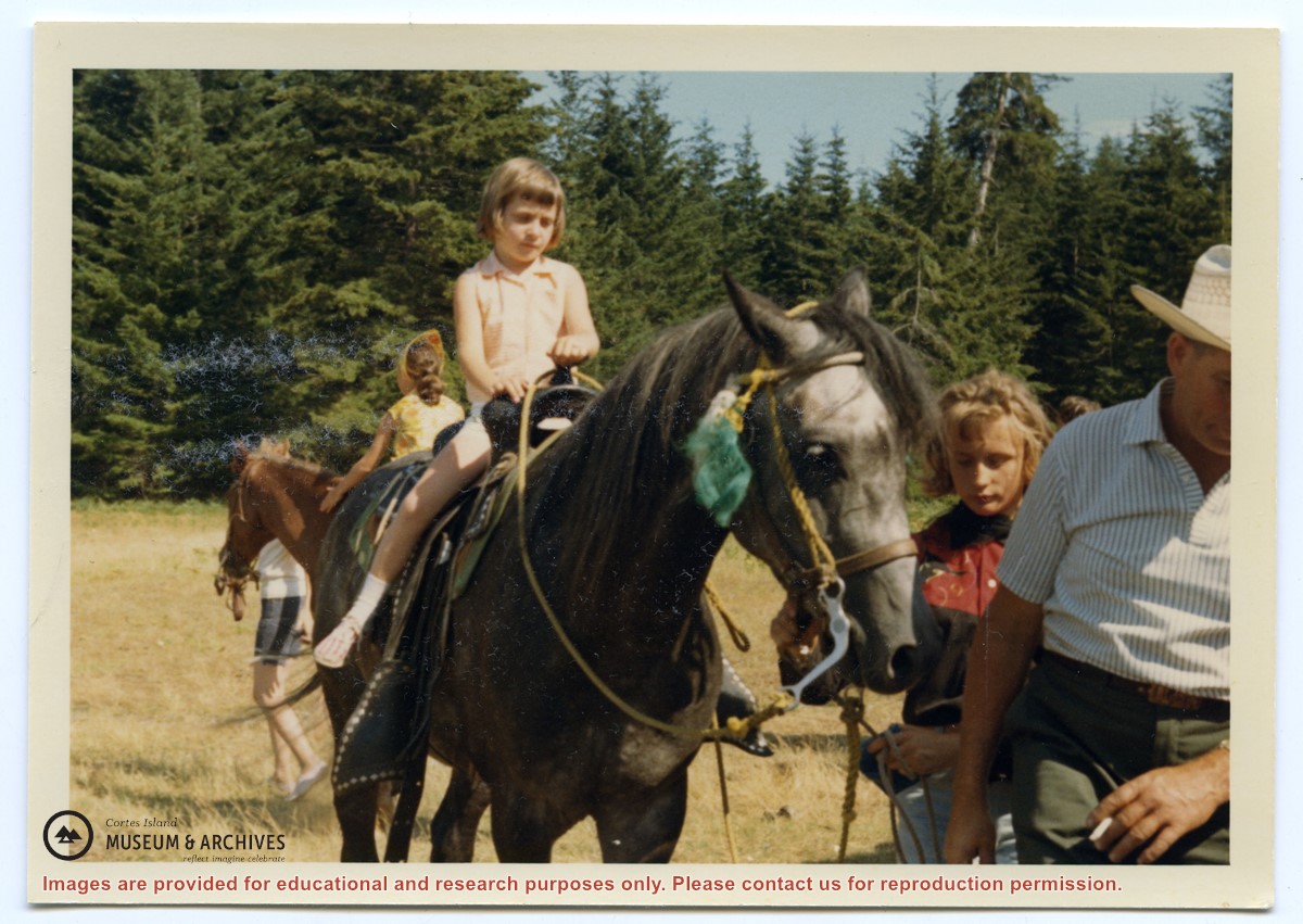
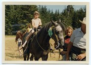
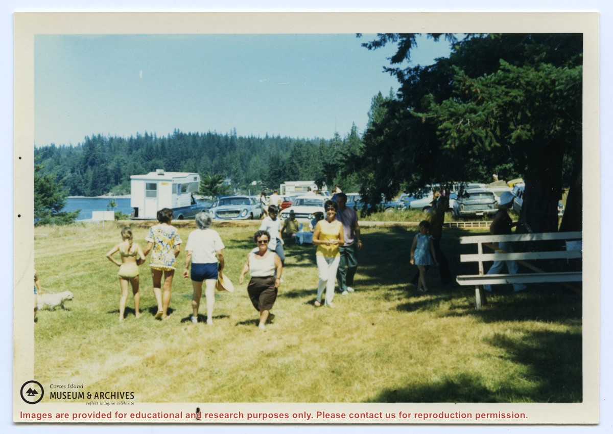
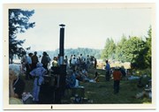
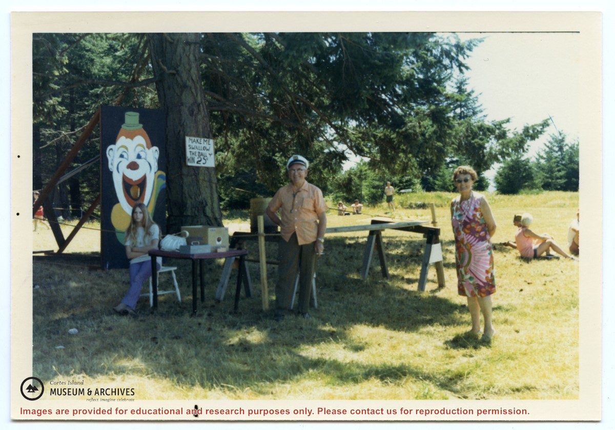
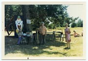
Photograph, taken at Smelt Bay on Cortes Island Day, of Bill Jenkins and Jean Jenkins (R) beside a booth with a sign that says "Make me swallow the ball". (check)
Photograph, taken at Smelt Bay on Cortes Island Day, of Bill Jenkins and Jean Jenkins (R) beside a booth with a sign that says "Make me swallow the ball". (check)