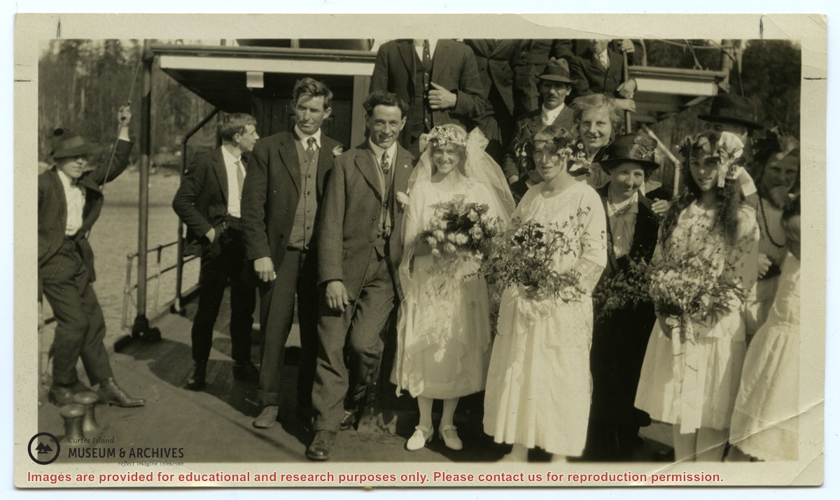
Series consists of minutes of the School Board concerning Cortes Island schools, correspondence and a school bulletin from the Manson's Landing school collected by Douglas during her term as a school trustee.
Series consists of minutes of the School Board concerning Cortes Island schools, correspondence and a school bulletin from the Manson's Landing school collected by Douglas during her term as a school trustee.
The base map is a zoning map produced by the Regional District of Comox-
Strathcona for the Cortes Island Land Use Project (Aug 1969). Edwards used
coloured pencil to show land and foreshore zones, and transferred information
about early preemptions and old roads and trails from an earlier map (see
Donald Palmer fonds, 2020.002.011, map of Cortes Island, Sayward District, ca.
1915).
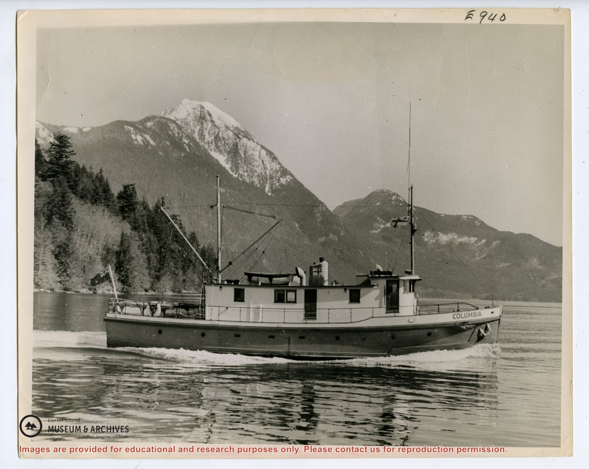
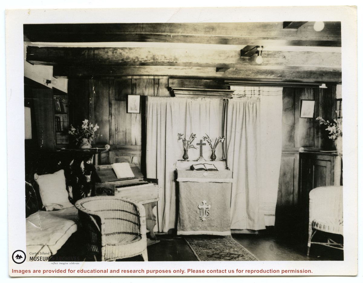
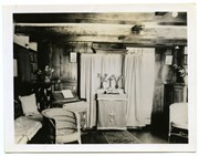
Photograph of the chapel in the cabin of the second "Columbia", with the organ on the left and the portable altar set up for a service. (see "Anderson, Doris, "The Columbia Is Coming"; Gray's Publishing, 1982, photo inset)
2 photograph prints: b&w; 25.6 x 20 and 13 x 10 cm
Scope and Content
Photograph of the chapel in the cabin of the second "Columbia", with the organ on the left and the portable altar set up for a service. (see "Anderson, Doris, "The Columbia Is Coming"; Gray's Publishing, 1982, photo inset)