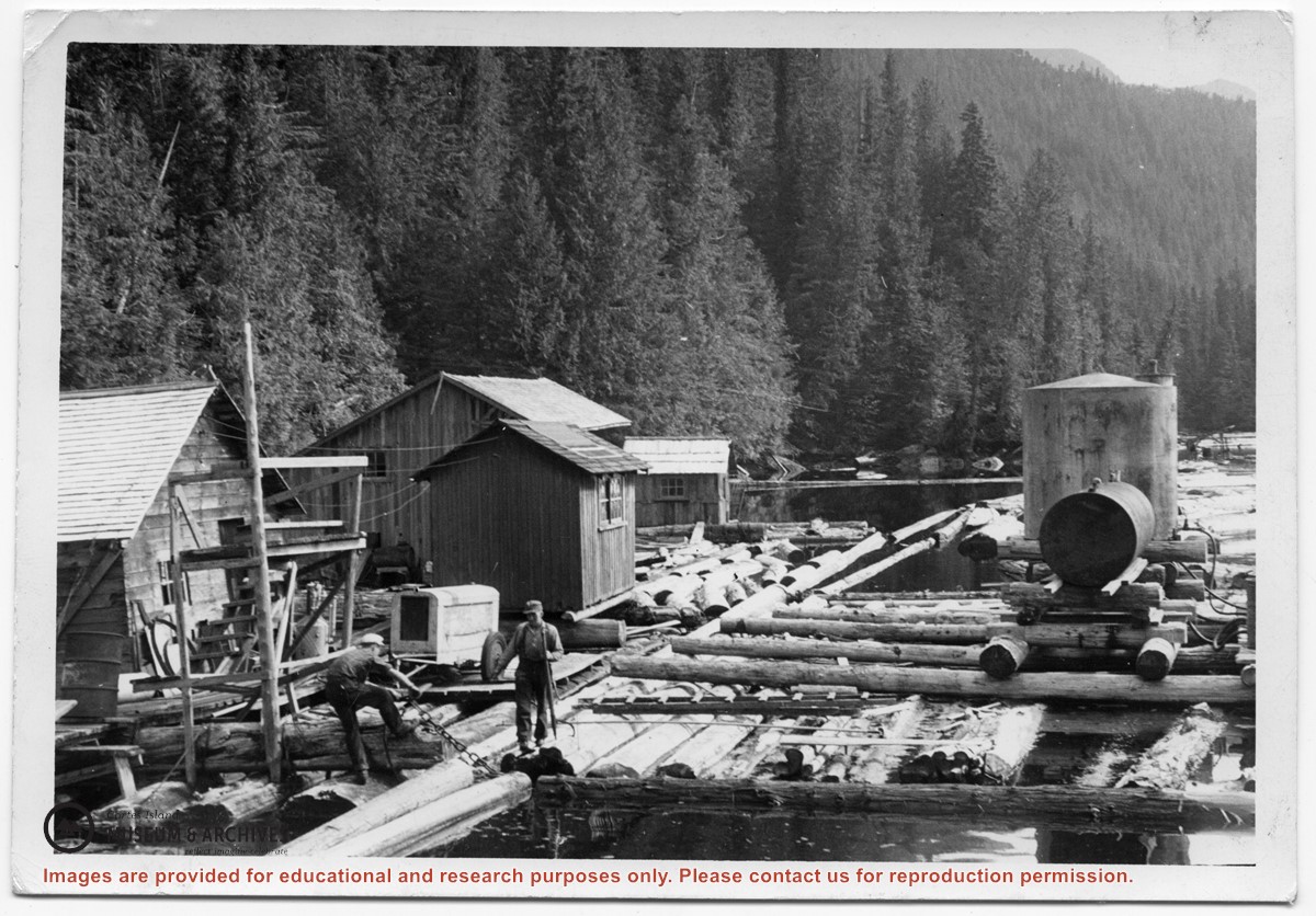
Photograph of two men on floats made of logs chained together, with the buildings, tanks and other paraphernalia of a logging camp on the floats. Location is Seymour Inlet.
Photograph of two men on floats made of logs chained together, with the buildings, tanks and other paraphernalia of a logging camp on the floats. Location is Seymour Inlet.
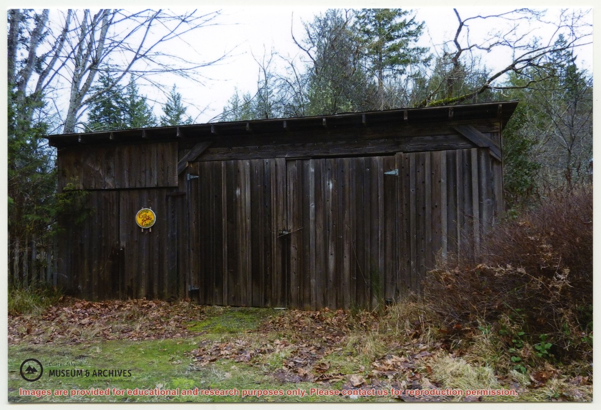
"Sutil Pt road Dept of Highways first maintenance shed. The fence next to it was repaired with old grader blades. Gordon Fretwell, foreman, property about 1957."
"Sutil Pt road Dept of Highways first maintenance shed. The fence next to it was repaired with old grader blades. Gordon Fretwell, foreman, property about 1957."
File contains a map key to the areas of Sections 17, 18, 19, 22 and 34 (south of Gorge Harbour) which were researched (Information in Files 3-7).
It contains photocopies of original land grants and subsequent conveyances for the following:
Reginald James Smith: 1946, Crown Grant 165414I for fractional SE 1/4 of Sec 23, 1946 (the Thunder Road subdivision at the eastern end of Gorge Harbour).
(Files 3 through 7 are from the same envelope.)