The base map is a zoning map produced by the Regional District of Comox-
Strathcona for the Cortes Island Land Use Project (Aug 1969). Edwards used
coloured pencil to show land and foreshore zones, and transferred information
about early preemptions and old roads and trails from an earlier map (see
Donald Palmer fonds, 2020.002.011, map of Cortes Island, Sayward District, ca.
1915).
File contains material relating to a proposed subdivision by Elmer Ellingsen, Plan 23367, including a map with buyers pencilled in (60 x 51 cm - from Acc. #2019.019).
File contains material relating to a proposed subdivision by Elmer Ellingsen, Plan 23367, including a map with buyers pencilled in (60 x 51 cm - from Acc. #2019.019).
File contains a photocopied section map of the northern part of Cortes Island (from just south of Gorge Harbour), coloured to indicate areas for which a Crown Grant was located and areas of ungranted Crown land which still appear to be owned by the government. Scale is 1 mile to 1 inch.
File contains a photocopied section map of the northern part of Cortes Island (from just south of Gorge Harbour), coloured to indicate areas for which a Crown Grant was located and areas of ungranted Crown land which still appear to be owned by the government. Scale is 1 mile to 1 inch.
File contains a map key to the areas of Sections 17, 18, 19, 22 and 34 (south of Gorge Harbour) which were researched (Information in Files 3-7).
It contains photocopies of original land grants and subsequent conveyances for the following:
Reginald James Smith: 1946, Crown Grant 165414I for fractional SE 1/4 of Sec 23, 1946 (the Thunder Road subdivision at the eastern end of Gorge Harbour).
(Files 3 through 7 are from the same envelope.)
File contains five maps of Hernando Island: two showing plans of pre-emptions, 1891-1892; two copies of an old hand-drawn map, 1955; and one map of a later proposed development (undated). Some maps have notes on homesteads.
File contains five maps of Hernando Island: two showing plans of pre-emptions, 1891-1892; two copies of an old hand-drawn map, 1955; and one map of a later proposed development (undated). Some maps have notes on homesteads.
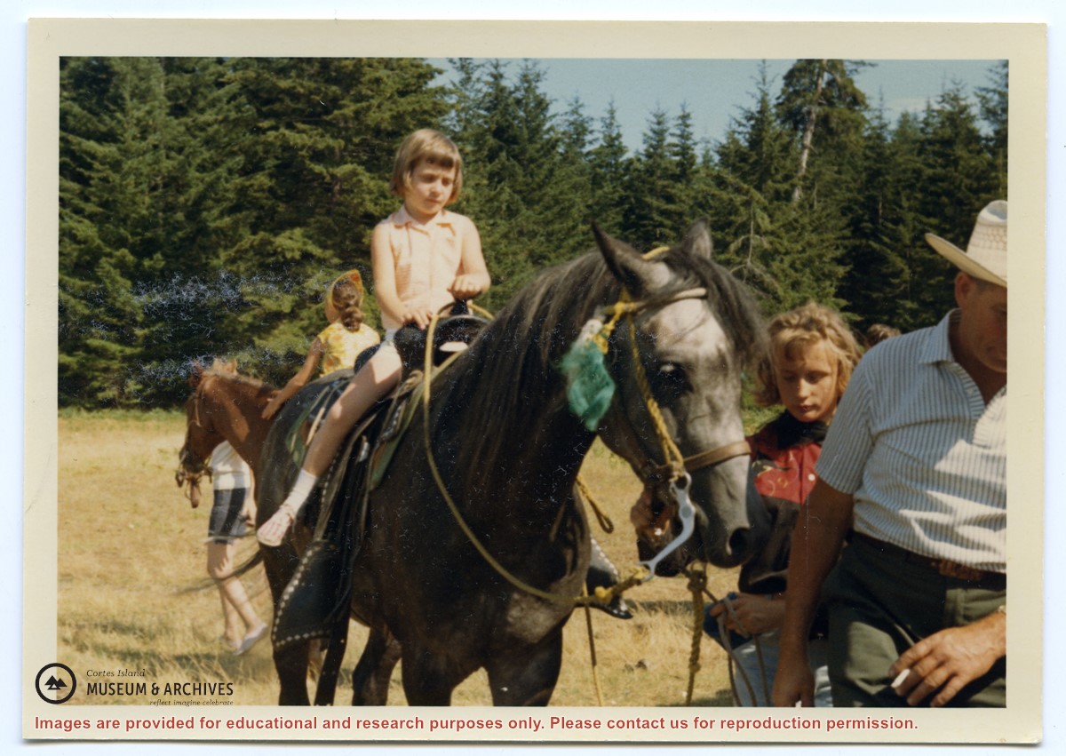
People are identified on verso: Doreen Huck (misidentified as Doreen Reedel on verso), Joyce Martin, Elaine McKenzie, Sheila Musclow, Helen Morrison, Bob Parry, Marjorie Rexford, Jim Guthrie, Sharon Forrest, Jim Hansen, Lillian Redford, Larry McKim (Borland), Beth Martin, Carolyn Reedel
People are identified on verso: Doreen Huck (misidentified as Doreen Reedel on verso), Joyce Martin, Elaine McKenzie, Sheila Musclow, Helen Morrison, Bob Parry, Marjorie Rexford, Jim Guthrie, Sharon Forrest, Jim Hansen, Lillian Redford, Larry McKim (Borland), Beth Martin, Carolyn Reedel
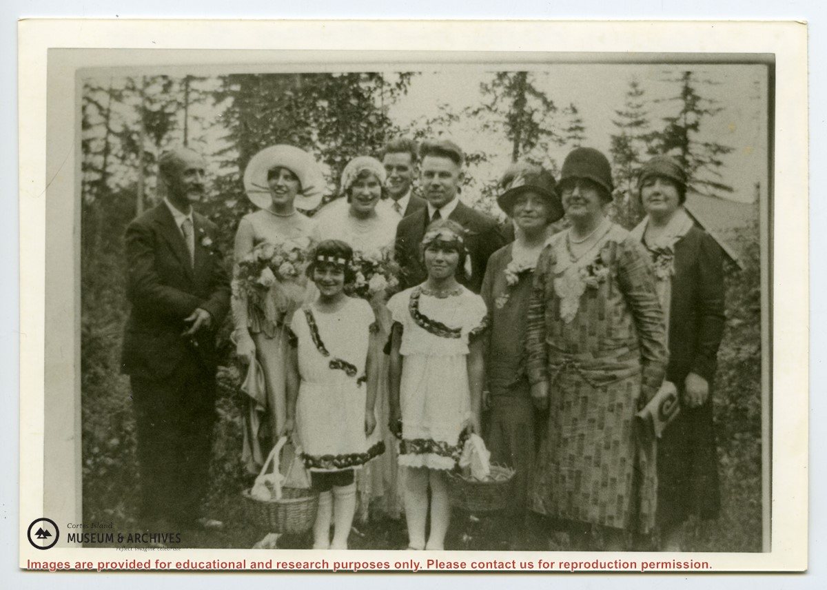
Marjorie (Hayes) Griffin holding George Jr., Mr. Daniels, Jack Hayes, Alice Hayes, Mr. Alfred Hayes, Patsy McLennan, Mrs. Hayes, Florence Hayes, Mrs. Daniels, Dorothy Hayes, May Freeman with family pet dog, Nora Hayes
1 photograph print: b&w; 17.5 x 11 cm
1 photograph print: b&w; 11.5 x 6.5 cm
Scope and Content
Marjorie (Hayes) Griffin holding George Jr., Mr. Daniels, Jack Hayes, Alice Hayes, Mr. Alfred Hayes, Patsy McLennan, Mrs. Hayes, Florence Hayes, Mrs. Daniels, Dorothy Hayes, May Freeman with family pet dog, Nora Hayes
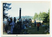
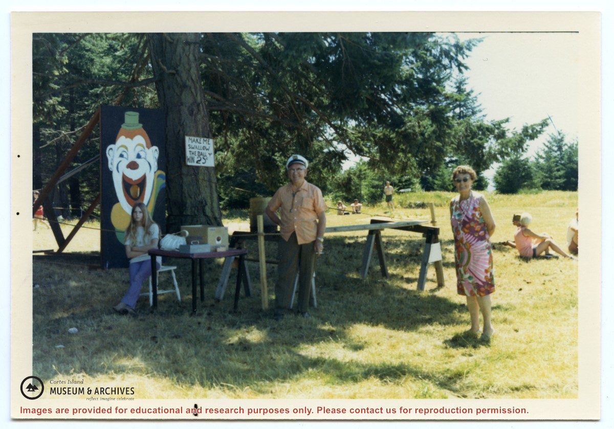
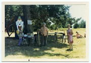
Photograph, taken at Smelt Bay on Cortes Island Day, of Bill Jenkins and Jean Jenkins (R) beside a booth with a sign that says "Make me swallow the ball". (check)
Photograph, taken at Smelt Bay on Cortes Island Day, of Bill Jenkins and Jean Jenkins (R) beside a booth with a sign that says "Make me swallow the ball". (check)
.jpg?width=1200&404=no-img.jpg&watermark=wmk)
.jpg?width=1200&404=no-img.jpg&watermark=wmk)
.jpg?width=180&404=no-img.jpg)
.jpg?width=1200&404=no-img.jpg&watermark=wmk)
.jpg?width=1200&404=no-img.jpg&watermark=wmk)
.jpg?width=180&404=no-img.jpg)